2000s (21st Century) Maps of Stockholm, Maine
Explore 10 historic maps of Stockholm from the 2000s (21st Century). These maps offer a rare glimpse into what life looked like during the 2000s — showing old roads, neighborhoods, homes, and landmarks that have changed or disappeared over time.
Whether you're researching your family's past, planning a metal detecting trip, or studying how Stockholm's landscape evolved across the 2000s, these high-resolution maps are a powerful tool for exploring the history of this region.
- Focus on a specific era: All maps on this page are from the 2000s, giving you a focused view of this time period.
- See what’s changed: Compare century-old streets, trails, and buildings to today's modern landscape using overlays and satellite layers.
- Research with precision: Use these maps for genealogy, historical research, land use analysis, or educational projects.
- View, download, or print: Maps are fully viewable online in high resolution, and can be downloaded or printed for your own records.
Start exploring Stockholm's history through authentic maps from the 2000s. This is your window into the past.
Stockholm, ME maps
(10)- 2011 Map of Stockholm, 2011 Print
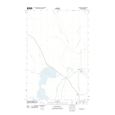 2011 Stockholm2011 Print · USGSCovers Stockholm, including New Sweden, Westmanland, and other nearby areas
 - 2011 Map of Picard Brook, 2011 Print
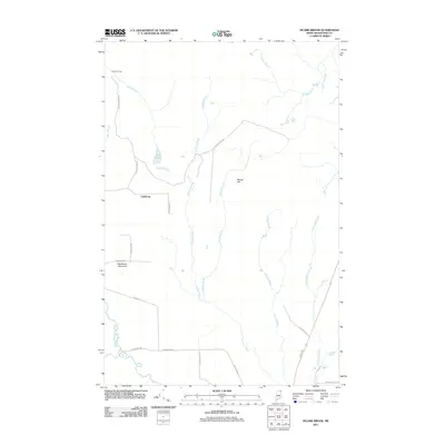 2011 Picard Brook2011 Print · USGSCovers Stockholm, including New Sweden, Connor Township, and other nearby areas
 - 2014 Map of Picard Brook, 2014 Print
 2014 Picard Brook2014 Print · USGSCovers Stockholm, including New Sweden, Connor Township, and other nearby areas
 - 2014 Map of Stockholm, 2014 Print
 2014 Stockholm2014 Print · USGSCovers Stockholm, including New Sweden, Westmanland, and other nearby areas
 - 2018 Map of Picard Brook, 2018 Print
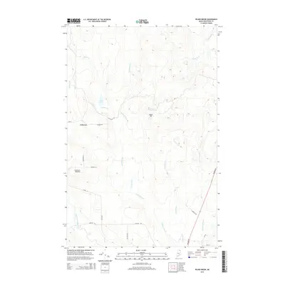
 2018 Picard Brook2018 Print · USGSCovers Stockholm, including New Sweden, Connor Township, and other nearby areas
 - 2018 Map of Stockholm, 2018 Print
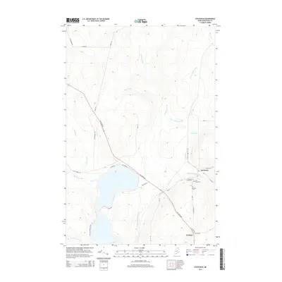
 2018 Stockholm2018 Print · USGSCovers Stockholm, including New Sweden, Westmanland, and other nearby areas
 - 2021 Map of Stockholm, 2021 Print
 2021 Stockholm2021 Print · USGSCovers Stockholm, including New Sweden, Westmanland, and other nearby areas
 - 2021 Map of Picard Brook, 2021 Print
 2021 Picard Brook2021 Print · USGSCovers Stockholm, including New Sweden, Connor Township, and other nearby areas
 - 2024 Map of Picard Brook, 2024 Print
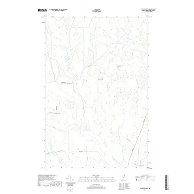
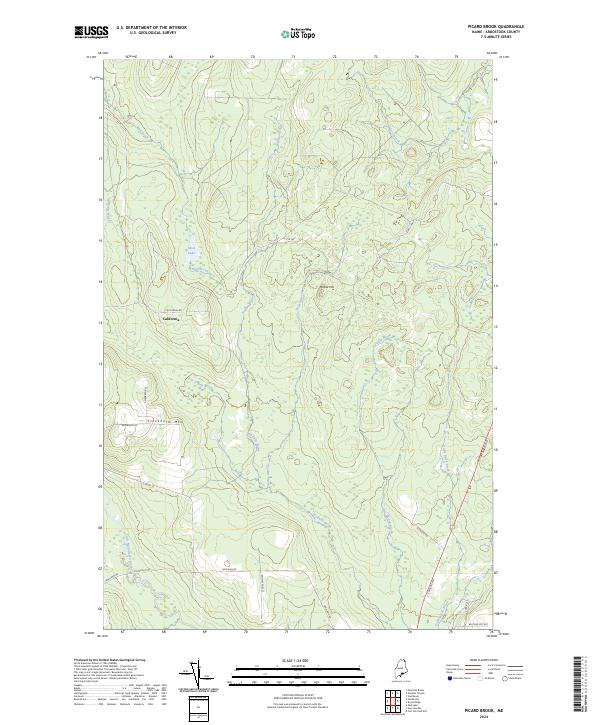 2024 Picard Brook2024 Print · USGSNorthern Maine's forest and river networks are captured here in the contemporary era, centered on the rural settlement of California. Genealogists and hikers can trace local routes like Stockholm Rd or navigate the terrain around Stockholm Mtn and the Little Madawaska River.
 - 2024 Map of Stockholm, 2024 Print
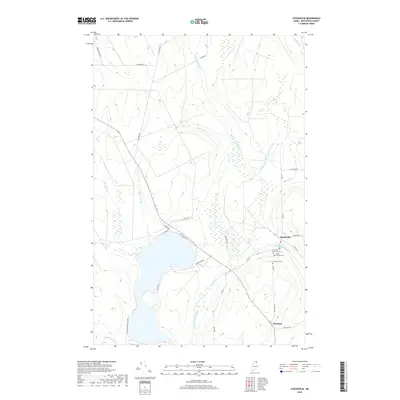
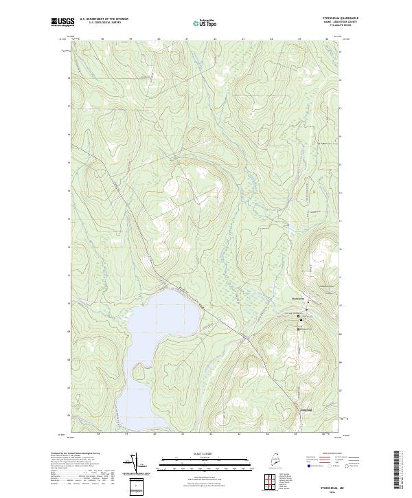 2024 Stockholm2024 Print · USGSStockholm and Jemtland are shown here in the contemporary northern Maine woods, centered on the Little Madawaska River. Researchers can locate legacy sites including First Saint Theresa Cem, the Stockholm Cem, and the slopes of Stockholm Mtn.
End of results
Showing maps 1-10 of 10
Top cities near Stockholm
- Caribou historical maps
- Fort Fairfield historical maps
- Madawaska historical maps
- Van Buren historical maps
- Limestone historical maps
- Woodland historical maps
See more
Frequently asked questions
- What are the different types of historical maps available for Stockholm?
- What is the oldest map of Stockholm?
- Where can I purchase historical maps of Stockholm for my home or office?
- Where can I download high-res historical maps of Stockholm?
- Are there historical topographic maps available for Stockholm?
- Is there historical aerial imagery available for Stockholm?
- Where are historical maps of Stockholm sourced from?