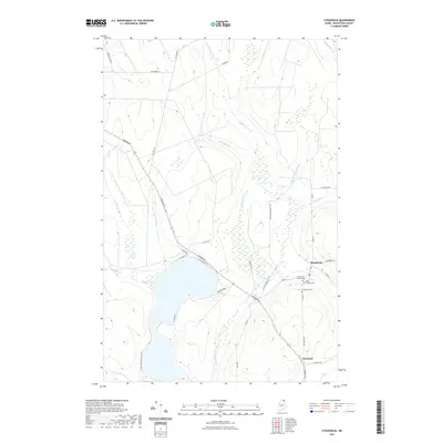
2021 Map of Stockholm
USGS Topo · Published 2021About this map
The Little Madawaska River flows through the heart of this Aroostook County landscape, feeding the northern reaches of Little Madawaska Lake near the settlements of Stockholm and Jemtland. This region is defined by its network of brooks, including Armstrong Brook, Cedar Brook, and McClusky Brook, which drain the forested hills into the primary river valley. For local historians, the cluster of cemeteries in Stockholm, such as Saint Theresa Cem and the First Saint Theresa Cem, provides a focused look at the community's heritage near the intersection of Main St and School St. Modern recreational use is evident via the State of Maine ATV Trl, which mirrors the traditional travel corridors like Caribou Rd, tracing a path between the dense wetlands and the established township centers.
Find a feature on this map
40 named features on this map. Tap any name to fly to it.
Don’t see what you’re looking for? This feature index may not catch every label — zoom into the map to look around manually.
Map Details
Editions of this 2021 Stockholm Map
This is the sole edition of this map. No revisions or reprints were ever made.
Other maps of this area

1927 · Stockholm
USGS Topo · 1:48,000

1927 · Square Lake
USGS Topo · 1:48,000

1929 · Portage
USGS Topo · 1:62,500

1929 · Caribou
USGS Topo · 1:48,000

1931 · Square Lake
USGS Topo · 1:62,500

1931 · Portage
USGS Topo · 1:62,500

1931 · Stockholm
USGS Topo · 1:62,500

1932 · Caribou
USGS Topo · 1:62,500

1953 · Stockholm
USGS Topo · 1:62,500

1953 · Square Lake
USGS Topo · 1:62,500