Old Maps of Stockholm, Maine for Metal Detecting
Plan your next treasure hunt with 19 historic maps of Stockholm. Find old homesites, ghost towns, trails, and gathering spots that may be lost to time — perfect for identifying promising metal detecting locations.
- Locate forgotten sites: Uncover places like long-lost settlements, abandoned rail lines, or gathering spots.
- Plan better hunts: Use map overlays combined with LiDAR or satellite views to narrow in on historically rich areas.
- Made for detectorists: Thousands of hobbyists use these maps to discover relics, coins, and hidden history.
Use these historic maps to boost your research and find new opportunities beneath the surface of Stockholm.
Stockholm, ME maps
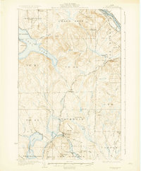
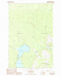
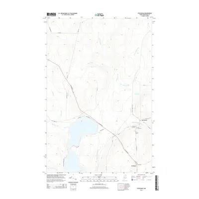
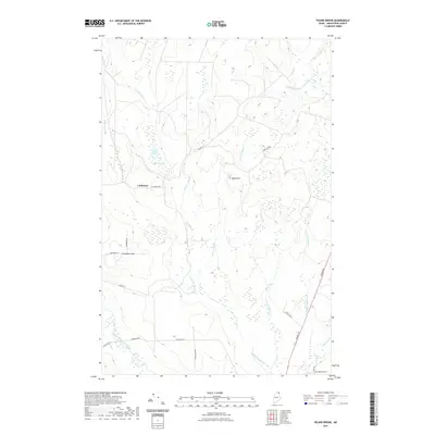
(19)- 1927 Map of Stockholm
 1927 Stockholm1927 Print · USGSNorthern Aroostook County's borderlands and timber country are captured here in the late twenties during the height of the rail-and-river economy. Researchers can trace rural school districts like Berquist Sch, the Caniba Mill, and the Bangor and Aroostook railroad stops.
 - 1931 Map of Stockholm
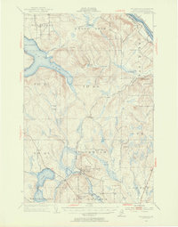
 1931 Stockholm1931 Print · USGSUpper Aroostook County in the late twenties shows a landscape defined by the railroad and the timber industry. Genealogists can trace family footprints through rural schoolhouses like Gervais Sch and early settlements including California and Jemtland.4 unique versions available
 - 1953 Map of Stockholm, 1954 Print
 1953 Stockholm1954 Print · USGSNorthern Aroostook County in the mid-fifties is captured here during a period of active timber harvesting and rail transport. Genealogists and local historians can trace the Swedish colony heritage in Stockholm and Jemtland or locate early outposts like Swedes Camp and Sinclair Sch.2 unique versions available
 - 1962 Map of Edmundston, 1966 Print
 1962 Edmundston1966 Print · USGSThe international borderlands of northern Maine and Canada come alive here during the early sixties, centered on the river-and-rail economies of the day. Genealogists and historians can trace the paths of the Bangor and Aroostook railroad through river towns like Fort Kent and St Agatha.2 unique versions available
 - 1975 Map of Stockholm SW, 1981 Print
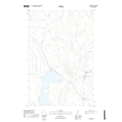
 1975 Stockholm SW1981 Print · USGSNorthern Maine's timberlands and rural settlements are frozen in time during the mid-seventies. Genealogists and local historians can trace the clearings around Stockholm and Jemtland or study the shoreline of Madawaska Lake.
 - 1975 Map of Stockholm SE, 1981 Print
 1975 Stockholm SE1981 Print · USGSNorthern Maine's timberlands are captured in this mid-1970s aerial survey during a period of active logging and remote settlement. Trace the course of the Little Madawaska River or locate the forest outpost of California among the dense woods.
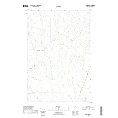
 - 1986 Map of Picard Brook
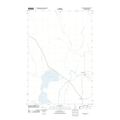
 1986 Picard Brook1986 Print · USGSNorthern Maine timberlands and Swedish immigrant settlements define the area in the mid-eighties. Genealogists can trace family footprints near Stockholm, California, and the waterways of the Little Madawaska River.
 - 1986 Map of Stockholm
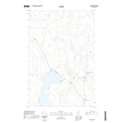
 1986 Stockholm1986 Print · USGSNorthern Maine during the mid-eighties shows a landscape of Swedish settlements and timber-rich woods. You can trace the Little Madawaska River through Stockholm, locate old sidings at Collins Siding, and explore the shoreline of Madawaska Lake.
 - 1994 Map of Madawaska
 1994 Madawaska1994 Print · USGSThe St John Valley in the 1990s remained a unique cultural crossroads of Maine and New Brunswick, centered on the river and the rails. Genealogists and historians can trace family-named settlements like Violette Settlement or explore the shores of Eagle Lake and Long Lake.
 - 2011 Map of Stockholm, 2011 Print
 2011 Stockholm2011 Print · USGSCovers Stockholm, including New Sweden, Westmanland, and other nearby areas
 - 2011 Map of Picard Brook, 2011 Print
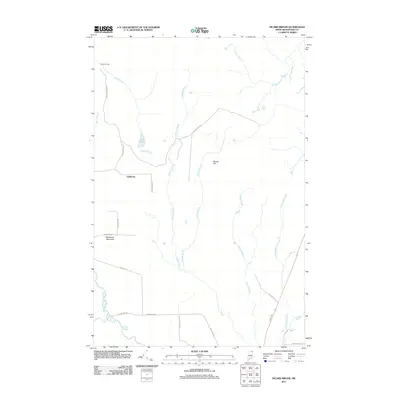 2011 Picard Brook2011 Print · USGSCovers Stockholm, including New Sweden, Connor Township, and other nearby areas
 - 2014 Map of Picard Brook, 2014 Print
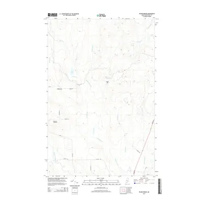 2014 Picard Brook2014 Print · USGSCovers Stockholm, including New Sweden, Connor Township, and other nearby areas
 - 2014 Map of Stockholm, 2014 Print
 2014 Stockholm2014 Print · USGSCovers Stockholm, including New Sweden, Westmanland, and other nearby areas
 - 2018 Map of Picard Brook, 2018 Print
 2018 Picard Brook2018 Print · USGSCovers Stockholm, including New Sweden, Connor Township, and other nearby areas
 - 2018 Map of Stockholm, 2018 Print
 2018 Stockholm2018 Print · USGSCovers Stockholm, including New Sweden, Westmanland, and other nearby areas
 - 2021 Map of Stockholm, 2021 Print
 2021 Stockholm2021 Print · USGSCovers Stockholm, including New Sweden, Westmanland, and other nearby areas
 - 2021 Map of Picard Brook, 2021 Print
 2021 Picard Brook2021 Print · USGSCovers Stockholm, including New Sweden, Connor Township, and other nearby areas
 - 2024 Map of Picard Brook, 2024 Print
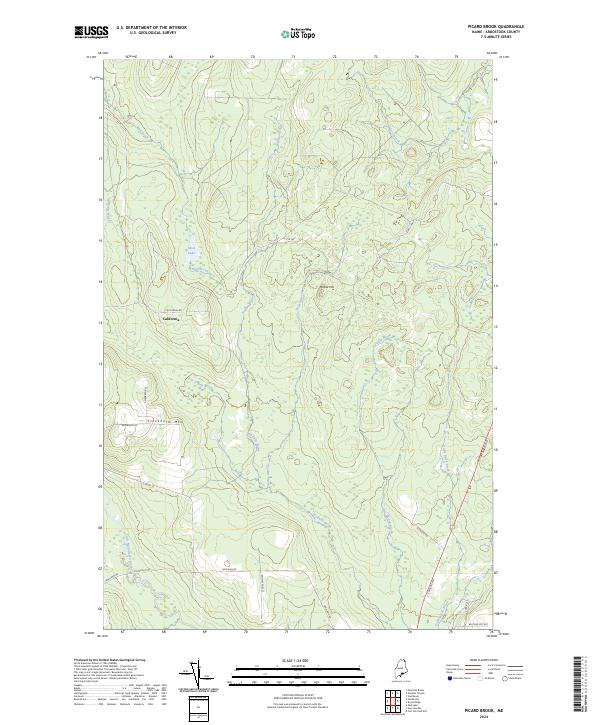 2024 Picard Brook2024 Print · USGSNorthern Maine's forest and river networks are captured here in the contemporary era, centered on the rural settlement of California. Genealogists and hikers can trace local routes like Stockholm Rd or navigate the terrain around Stockholm Mtn and the Little Madawaska River.
 - 2024 Map of Stockholm, 2024 Print
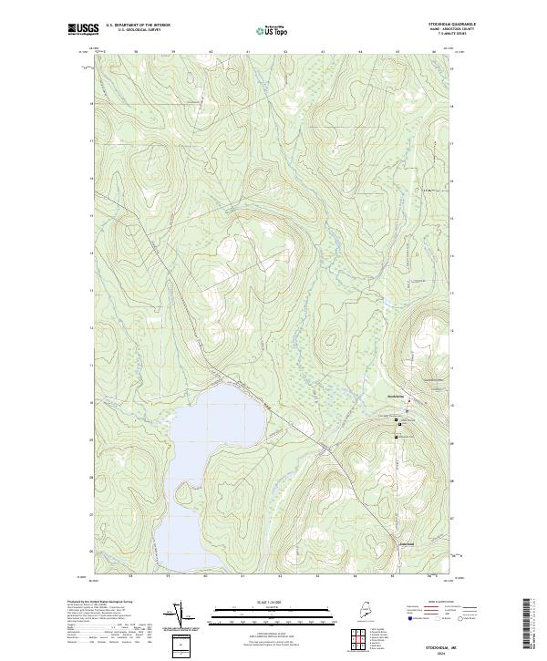 2024 Stockholm2024 Print · USGSStockholm and Jemtland are shown here in the contemporary northern Maine woods, centered on the Little Madawaska River. Researchers can locate legacy sites including First Saint Theresa Cem, the Stockholm Cem, and the slopes of Stockholm Mtn.
End of results
Showing maps 1-19 of 19
Top cities near Stockholm
- Caribou historical maps
- Fort Fairfield historical maps
- Madawaska historical maps
- Van Buren historical maps
- Limestone historical maps
- Woodland historical maps
See more
Frequently asked questions
- What are the different types of historical maps available for Stockholm?
- What is the oldest map of Stockholm?
- Where can I purchase historical maps of Stockholm for my home or office?
- Where can I download high-res historical maps of Stockholm?
- Are there historical topographic maps available for Stockholm?
- Is there historical aerial imagery available for Stockholm?
- Where are historical maps of Stockholm sourced from?