Old Maps of T12 R14 WELS, Maine for Academic Research
Study the evolution of T12 R14 WELS with 34 high-resolution historic maps. Whether you're teaching, researching, or modeling changes in land use, these maps provide essential visual documentation of urban, environmental, and geographic change.
- Analyze long-term change: Track patterns in development, transportation, and natural features.
- Ideal for environmental or urban studies: Support academic projects with primary historical map data.
- Use in the classroom or lab: Educators and researchers rely on these maps to bring historical context to life.
These maps are a powerful tool for teaching, research, and visualizing how T12 R14 WELS has changed over the decades.
T12 R14 WELS, ME maps
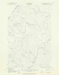
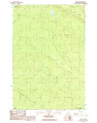
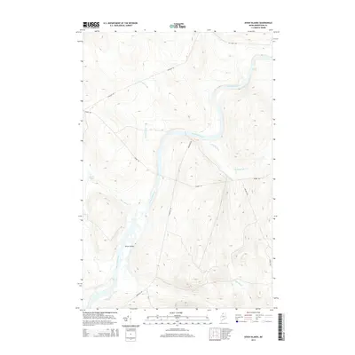
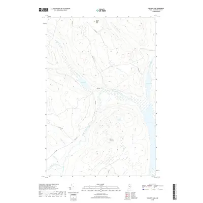
(34)- 1932 Map of Umsaskis Lake
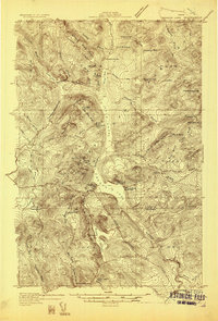 1932 Umsaskis Lake1932 Print · USGSThe northern Maine wilderness of the early 1930s is documented here as a landscape of timber camps and remote warden stations. Researchers can trace the era's logging infrastructure through sites like Churchill Depot, Harvey Farm, and the American Realty Depot Camp.4 unique versions available
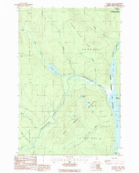
 - 1935 Map of Umsaskis Lake
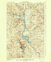 1935 Umsaskis Lake1935 Print · USGSThe Allagash wilderness in the early 1930s is documented here through its logging camps and river-driving infrastructure. Genealogists and researchers can trace remote outposts like Harvey Farm, the American Realty Depot Camp, and the Paquetta Sch.3 unique versions available
 - 1954 Map of Presque Isle, 1968 Print
 1954 Presque Isle1968 Print · USGSNorth Woods logging and rail history come alive in this mid-century survey of the Maine-Quebec borderlands. Genealogists and historians can trace the Bangor and Aroostook railroad through timber hubs like Ashland, Smyrna Mills, and Presque Isle.2 unique versions available
 - 1955 Map of Round Pond, 1956 Print
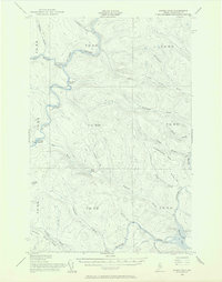 1955 Round Pond1956 Print · USGSNorthern Maine's remote borderlands and river corridors are charted here in the mid-fifties, before modern development. You can trace early wilderness outposts like the Immigration Service Camp, find the Game Warden Camp on Round Pond, and locate landmarks like Big Black Rapids.5 unique versions available
 - 1955 Map of Clayton Lake, 1956 Print
 1955 Clayton Lake1956 Print · USGSThe North Maine Woods in the mid-1950s remained a remote timberland shaped by the St John River and expansive lakes. Researchers can locate specific backcountry outposts like Ninemile Bridge, Gannett Camp, and the Game Warden Camp along the winding logging roads.2 unique versions available
 - 1955 Map of Seven Islands, 1956 Print
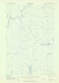
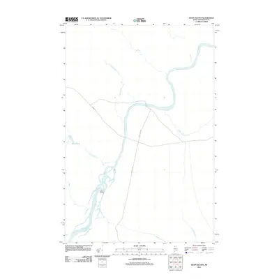
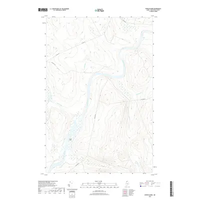
 1955 Seven Islands1956 Print · USGSUpper Aroostook County in the mid-fifties remains a deep wilderness defined by the St John River and its major tributaries. Researchers can trace remote logging infrastructure including the Forest Service Airfield, California Road, and the secluded Seven Islands.4 unique versions available
 - 1958 Map of Presque Isle
 1958 Presque Isle1958 Print · USGSThe Aroostook timber and potato country is captured here during the late fifties, showing the vital rail-to-river network of Northern Maine. Genealogists and historians can trace the Bangor & Aroostook RR through Mapleton and Ashland, or locate remote sites like Chamberlain Farm and Seven Islands.
 - 1960 Map of Presque Isle
 1960 Presque Isle1960 Print · USGSNorthern Maine during the mid-century was a land of timber, rails, and strategic airfields. Genealogists and historians can trace the growth of Presque Isle and Ashland or explore the remote northern reaches of Baxter State Park and Presque Isle AFB.3 unique versions available
 - 1976 Map of Seven Islands, 1983 Print
 1976 Seven Islands1983 Print · USGSThe Maine North Woods are seen here in the mid-seventies, showing the deep timberland surrounding the St. John River. Researchers can trace the intricate channels of Seven Islands and locate small water bodies like White Pond.
 - 1986 Map of Seven Islands
 1986 Seven Islands1986 Print · USGSThe North Maine Woods in the mid-1980s reveals a wilderness of timber tracts and river navigation. Researchers can trace the braided channels of Seven Islands and locate landmarks like Priestly Bridge and the Priestly Rapids along the St John River.
 - 1986 Map of Blue Brook
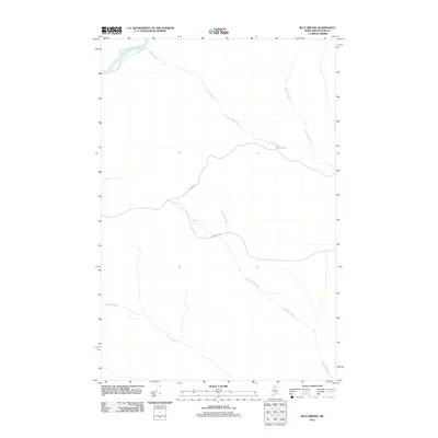
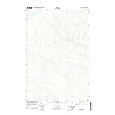
 1986 Blue Brook1986 Print · USGSNorthern Maine's North Woods are captured in the mid-1980s, showing a remote landscape of township grids and timber access. Trace the path of the St John River and interior landmarks like Blue Pond and Harding Ridge.
 - 1986 Map of Ugh Lake, 1987 Print
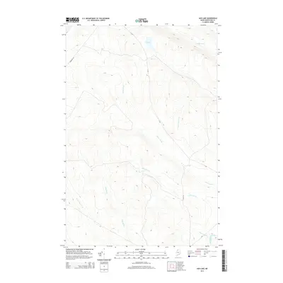
 1986 Ugh Lake1987 Print · USGSAroostook County's deep timberlands are captured here in the mid-1980s, defined by the St John River and remote township boundaries. Researchers can trace the private logging roads and drainage basins of Ugh Lake, Agnes Pond, and Cunliffe Brook.
 - 1986 Map of Cunliffe Lake, 1987 Print
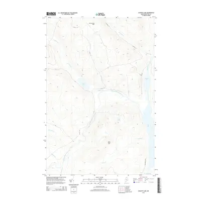
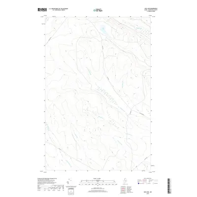
 1986 Cunliffe Lake1987 Print · USGSThe North Maine Woods in the mid-1980s were a network of logging roads and pristine waterways like the Allagash Wilderness State Waterway. Researchers can trace the path of the Chemquasabamticook Stream and locate remote landmarks like Cunliffe Lake and Grey Mountain.
 - 1993 Map of Clayton Lake, 1994 Print
 1993 Clayton Lake1994 Print · USGSThe North Woods along the Maine and Quebec border remained a vast wilderness of timber and water in the early nineties. Researchers can trace historic river crossings and remote outposts like Ninemile Bridge, Saint-Pamphile, and the Harvey Farm.
 - 2011 Map of Cunliffe Lake, 2011 Print
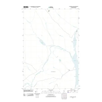 2011 Cunliffe Lake2011 Print · USGSCovers T12 R14 WELS, including Clayton Lake Township, T11 R13 WELS, and other nearby areas
 - 2011 Map of Ugh Lake, 2011 Print
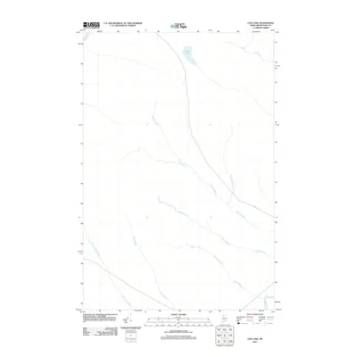 2011 Ugh Lake2011 Print · USGSCovers T12 R14 WELS, including Clayton Lake Township, T12 R15 WELS, and other nearby areas
 - 2011 Map of Blue Brook, 2011 Print
 2011 Blue Brook2011 Print · USGSCovers T12 R14 WELS, including T14 R13 WELS, T13 R14 WELS, and other nearby areas
 - 2011 Map of Seven Islands, 2011 Print
 2011 Seven Islands2011 Print · USGSCovers T12 R14 WELS, including T13 R14 WELS, T12 R15 WELS, and other nearby areas
 - 2014 Map of Blue Brook, 2014 Print
 2014 Blue Brook2014 Print · USGSCovers T12 R14 WELS, including T14 R13 WELS, T13 R14 WELS, and other nearby areas
 - 2014 Map of Cunliffe Lake, 2014 Print
 2014 Cunliffe Lake2014 Print · USGSCovers T12 R14 WELS, including Clayton Lake Township, T11 R13 WELS, and other nearby areas
 - 2014 Map of Seven Islands, 2014 Print
 2014 Seven Islands2014 Print · USGSCovers T12 R14 WELS, including T13 R14 WELS, T12 R15 WELS, and other nearby areas
 - 2014 Map of Ugh Lake, 2014 Print
 2014 Ugh Lake2014 Print · USGSCovers T12 R14 WELS, including Clayton Lake Township, T12 R15 WELS, and other nearby areas
 - 2018 Map of Seven Islands, 2018 Print
 2018 Seven Islands2018 Print · USGSCovers T12 R14 WELS, including T13 R14 WELS, T12 R15 WELS, and other nearby areas
 - 2018 Map of Ugh Lake, 2018 Print
 2018 Ugh Lake2018 Print · USGSCovers T12 R14 WELS, including Clayton Lake Township, T12 R15 WELS, and other nearby areas
 - 2018 Map of Cunliffe Lake, 2018 Print
 2018 Cunliffe Lake2018 Print · USGSCovers T12 R14 WELS, including Clayton Lake Township, T11 R13 WELS, and other nearby areas
Showing maps 1-25 of 34
Frequently asked questions
- What are the different types of historical maps available for T12 R14 WELS?
- What is the oldest map of T12 R14 WELS?
- Where can I purchase historical maps of T12 R14 WELS for my home or office?
- Where can I download high-res historical maps of T12 R14 WELS?
- Are there historical topographic maps available for T12 R14 WELS?
- Is there historical aerial imagery available for T12 R14 WELS?
- Where are historical maps of T12 R14 WELS sourced from?