
1955 Map of Round Pond
USGS Topo · Published 1956About this map
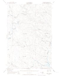
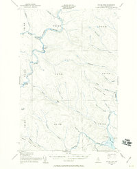
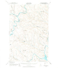
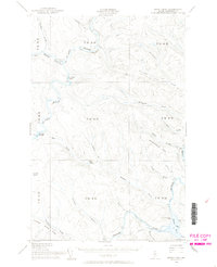
The St John River and the Allagash River converge within this wilderness landscape of Northern Maine during the mid-1950s. This territory is characterized by its network of watercourses and seasonal outposts, highlighting the region's historical reliance on river travel and timber management. Isolated facilities such as the Immigration Service Camp and a Forest Service Cabin near the Big Black Rapids indicate the active management of the international border and natural resources. In the south, the Allagash River flows through Round Pond, passing a Game Warden Camp and a Forest Service Camp near the mouth of Henderson Bk. The map captures the intricate drainage patterns of the Aroostook woods, from the slopes of Musquacook Mtn to the many brooks like McKinnon Brook and Savage Brook that feed the primary river systems.
Find a feature on this map
39 named features on this map. Tap any name to fly to it.
Don’t see what you’re looking for? This feature index may not catch every label — zoom into the map to look around manually.
Map Details
Editions of this 1955 Round Pond Map
5 editions found
Other maps of this area

1930 · Allagash
USGS Topo · 1:48,000

1932 · Umsaskis Lake
USGS Topo · 1:48,000

1932 · Musquacook Lakes
USGS Topo · 1:48,000

1932 · Allagash Falls
USGS Topo · 1:48,000

1933 · Allagash
USGS Topo · 1:62,500

1935 · Umsaskis Lake
USGS Topo · 1:62,500

1935 · Musquacook Lakes
USGS Topo · 1:62,500

1935 · Allagash Falls
USGS Topo · 1:62,500

1954 · Presque Isle
USGS Topo · 1:250,000

1955 · Rocky Mountain
USGS Topo · 1:62,500