Old Maps of T16 R9 WELS, Maine for Metal Detecting
Plan your next treasure hunt with 18 historic maps of T16 R9 WELS. Find old homesites, ghost towns, trails, and gathering spots that may be lost to time — perfect for identifying promising metal detecting locations.
- Locate forgotten sites: Uncover places like long-lost settlements, abandoned rail lines, or gathering spots.
- Plan better hunts: Use map overlays combined with LiDAR or satellite views to narrow in on historically rich areas.
- Made for detectorists: Thousands of hobbyists use these maps to discover relics, coins, and hidden history.
Use these historic maps to boost your research and find new opportunities beneath the surface of T16 R9 WELS.
T16 R9 WELS, ME maps
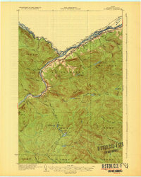
(18)- 1930 Map of St Francis
 1930 St Francis1930 Print · USGSThe Maine-Canada borderland comes alive in the early thirties as a hub of rail-and-river activity along the St John River. Genealogists and researchers can trace family lands near St Francis, local schoolhouses like Harding Sch, and logging sites like Saucier Camp.5 unique versions available
 - 1933 Map of St Francis
 1933 St Francis1933 Print · USGSThe northern reaches of Aroostook County are captured here in the 1930s, showing the border settlements along the St John River. Genealogists and local historians can trace family locations near St Francis, the Bangor and Aroostook rail line, and the McKinley Sch.3 unique versions available
 - 1962 Map of Edmundston, 1966 Print
 1962 Edmundston1966 Print · USGSThe international borderlands of northern Maine and Canada come alive here during the early sixties, centered on the river-and-rail economies of the day. Genealogists and historians can trace the paths of the Bangor and Aroostook railroad through river towns like Fort Kent and St Agatha.2 unique versions available
 - 1975 Map of St Francis SW, 1981 Print
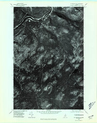 1975 St Francis SW1981 Print · USGSThe deep Maine woods of Aroostook County appear in high-resolution aerial detail during the mid-seventies, showing a landscape shaped by the timber industry. Researchers can trace remote logging roads and waterways like Negro Brook and Jones Mill.
 - 1975 Map of St Francis SE, 1981 Print
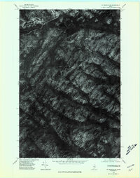 1975 St Francis SE1981 Print · USGSNorthern Maine's timberlands and remote lakes are captured through aerial photography in the mid-seventies. Researchers can observe the unmodified terrain around Wallagrass Mtn and the shorelines of Mc Lean Lake and Third Lake.
 - 1985 Map of Mc Lean Mtn, 1986 Print
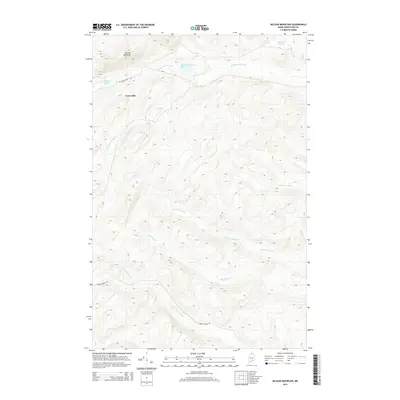
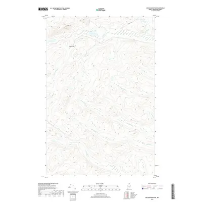
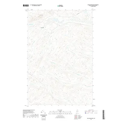
 1985 Mc Lean Mtn1986 Print · USGSThe northern Maine woods of the mid-1980s appear here as a complex network of timber roads and mountain watersheds. Outdoor enthusiasts and local historians can trace the headwaters of the North Branch Birch River or locate remote landmarks like McLean Lake and Horseshoe Pond.
 - 1985 Map of Pelletier Brook Lakes, 1986 Print
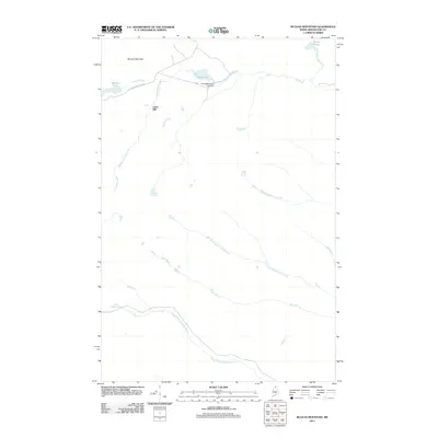
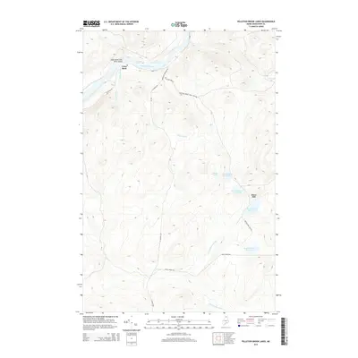
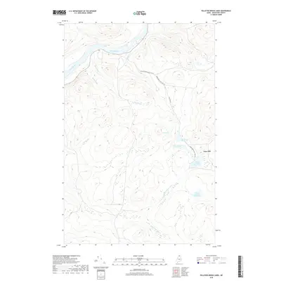
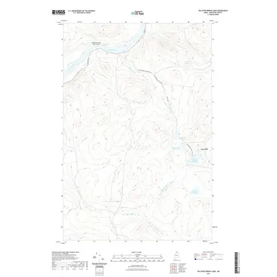
 1985 Pelletier Brook Lakes1986 Print · USGSThe St John River valley and the Pelletier Brook drainage are captured in the mid-1980s during a period of active timber management. Researchers can trace remote landmarks like Cross Rock, the river Ford, and the series of Pelletier Brook Lakes.
 - 1994 Map of Madawaska
 1994 Madawaska1994 Print · USGSThe St John Valley in the 1990s remained a unique cultural crossroads of Maine and New Brunswick, centered on the river and the rails. Genealogists and historians can trace family-named settlements like Violette Settlement or explore the shores of Eagle Lake and Long Lake.
 - 2011 Map of McLean Mountain, 2011 Print
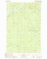
 2011 McLean Mountain2011 Print · USGSCovers T16 R9 WELS, including Saint Francis, Saint John Plantation, and other nearby areas
 - 2011 Map of Pelletier Brook Lakes, 2011 Print
 2011 Pelletier Brook Lakes2011 Print · USGSCovers T16 R9 WELS, including Saint Francis, Allagash, and other nearby areas
 - 2014 Map of McLean Mountain, 2014 Print
 2014 McLean Mountain2014 Print · USGSCovers T16 R9 WELS, including Saint Francis, Saint John Plantation, and other nearby areas
 - 2014 Map of Pelletier Brook Lakes, 2014 Print
 2014 Pelletier Brook Lakes2014 Print · USGSCovers T16 R9 WELS, including Saint Francis, Allagash, and other nearby areas
 - 2018 Map of McLean Mountain, 2018 Print
 2018 McLean Mountain2018 Print · USGSCovers T16 R9 WELS, including Saint Francis, Saint John Plantation, and other nearby areas
 - 2018 Map of Pelletier Brook Lakes, 2018 Print
 2018 Pelletier Brook Lakes2018 Print · USGSCovers T16 R9 WELS, including Saint Francis, Allagash, and other nearby areas
 - 2021 Map of Pelletier Brook Lakes, 2021 Print
 2021 Pelletier Brook Lakes2021 Print · USGSCovers T16 R9 WELS, including Saint Francis, Allagash, and other nearby areas
 - 2021 Map of McLean Mountain, 2021 Print
 2021 McLean Mountain2021 Print · USGSCovers T16 R9 WELS, including Saint Francis, Saint John Plantation, and other nearby areas
 - 2024 Map of Pelletier Brook Lakes, 2024 Print
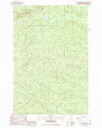
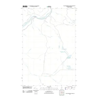
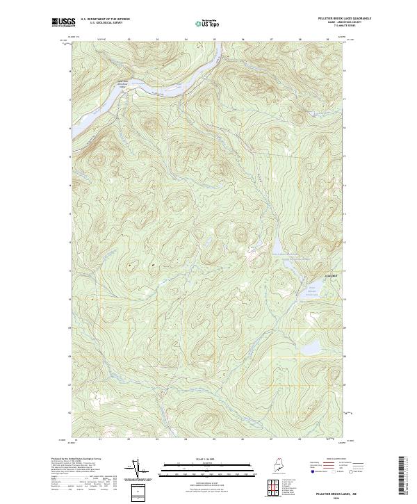 2024 Pelletier Brook Lakes2024 Print · USGSIn the northern Maine woods of the twenty-first century, this landscape remains defined by its river rapids and timber heritage. Researchers can trace historic transport routes like the Pelletier Brook-Lakes Tote Rd and locate landmarks like Jones Mill and Black Lake.
 - 2024 Map of McLean Mountain, 2024 Print
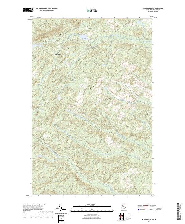 2024 McLean Mountain2024 Print · USGSAroostook County's deep woods and timberlands are captured here in the early twenty-first century. Researchers can trace the drainage of Third Lake or locate the historic site of Jones Mill near McLean Lake.
End of results
Showing maps 1-18 of 18
Top cities near T16 R9 WELS
- Fort Kent historical maps
- Eagle Lake historical maps
- Wallagrass historical maps
- Saint Francis historical maps
- Saint John Plantation historical maps
- Allagash historical maps
See more
Top neighborhoods of T16 R9 WELS
Frequently asked questions
- What are the different types of historical maps available for T16 R9 WELS?
- What is the oldest map of T16 R9 WELS?
- Where can I purchase historical maps of T16 R9 WELS for my home or office?
- Where can I download high-res historical maps of T16 R9 WELS?
- Are there historical topographic maps available for T16 R9 WELS?
- Is there historical aerial imagery available for T16 R9 WELS?
- Where are historical maps of T16 R9 WELS sourced from?