Old Maps of T17 R13 WELS, Maine for Hiking & Exploration
Hike through history with 27 historic maps of T17 R13 WELS. Explore old trails, ghost towns, and forgotten backroads — perfect for outdoor adventurers and local explorers.
- Rediscover forgotten places: Map out old mining camps, roads, and footpaths that no longer exist on modern maps.
- Layer with modern tools: Combine with LiDAR or satellite views to plan hikes through historical terrain.
- Made for exploration: Popular among hikers, overlanders, and local history lovers.
Use these maps to find adventure and explore the hidden past of T17 R13 WELS.
T17 R13 WELS, ME maps
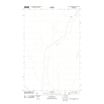
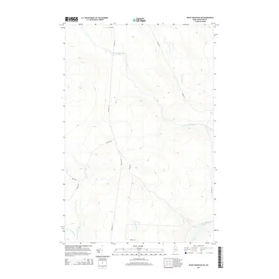
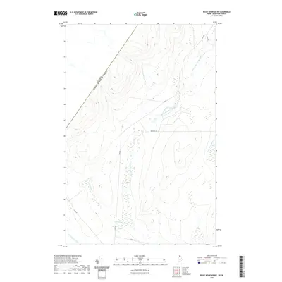
(27)- 1955 Map of Rocky Mountain
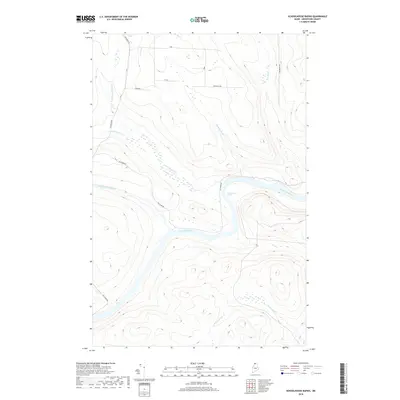
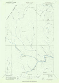 1955 Rocky Mountain1955 Print · USGSThe Aroostook County wilderness in the mid-1950s is defined here by the winding St John River and the international boundary with Canada. Researchers can locate logging outposts like Campbell Depot Camp and riverside landmarks such as Schoolhouse Rapids and Ouellette Farm.3 unique versions available
 - 1962 Map of Edmundston, 1966 Print
 1962 Edmundston1966 Print · USGSThe international borderlands of northern Maine and Canada come alive here during the early sixties, centered on the river-and-rail economies of the day. Genealogists and historians can trace the paths of the Bangor and Aroostook railroad through river towns like Fort Kent and St Agatha.2 unique versions available
 - 1987 Map of Rocky Mountain SW
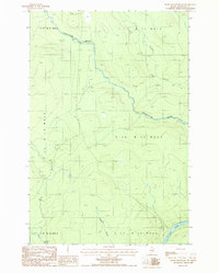 1987 Rocky Mountain SW1987 Print · USGSNorthern Maine's timberlands are documented here in the late eighties, showing a landscape of remote townships and logging trails. Researchers can trace the St John River through the Rapids or locate a Campsite along Chimenticook Stream.
 - 1987 Map of Schoolhouse Rapids
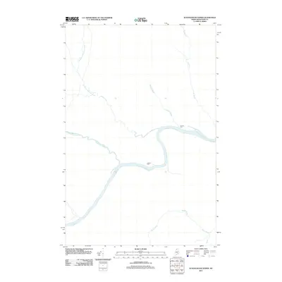
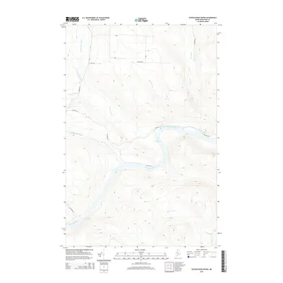
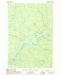 1987 Schoolhouse Rapids1987 Print · USGSIn the remote northern Maine wilderness during the late eighties, the St John River remains the central artery for movement and survival. Researchers can locate historic clearings like Castonia Farm and trace river hazards like Schoolhouse Rapids and Longs Rapids.
 - 1987 Map of Rocky Mountain
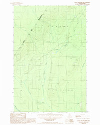
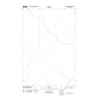
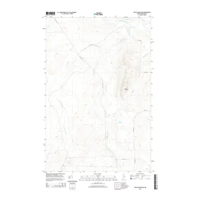
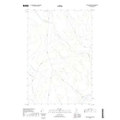
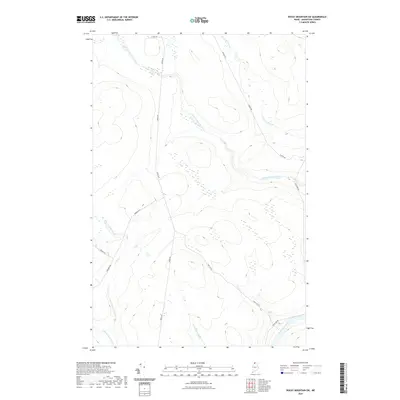
 1987 Rocky Mountain1987 Print · USGSThe North Maine Woods are captured in the late 1980s, showing a landscape of timber management and remote waterways. Trace the old logging trails near Rocky Mountain or follow the banks of the Little Black River and Fox Pond.
 - 1987 Map of Rocky Mtn NW
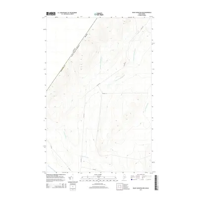
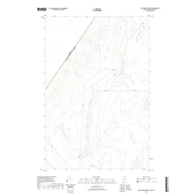
 1987 Rocky Mtn NW1987 Print · USGSThe Maine and Quebec borderlands come into focus in the late 1980s, documenting a remote timber-producing region of Aroostook County. Researchers can trace the flow of the Pocwock Stream, locate the Gravel Pits, and find landmarks like Campbell.
 - 1993 Map of Allagash, 1994 Print
 1993 Allagash1994 Print · USGSThe Maine-Quebec borderlands in the early nineties show a landscape of deep timber and international riverways. Researchers can trace the remote settlements of Allagash and Dickey or locate historic river features like Castonia Rapids and Beau Lake.
 - 2011 Map of Rocky Mountain NW, 2011 Print
 2011 Rocky Mountain NW2011 Print · USGSCovers T17 R13 WELS, including T18 R13 WELS, Picard, and other nearby areas
 - 2011 Map of Rocky Mountain SW, 2011 Print
 2011 Rocky Mountain SW2011 Print · USGSCovers T17 R13 WELS, including T16 R13 WELS, T15 R13 WELS, and other nearby areas
 - 2011 Map of Schoolhouse Rapids, 2011 Print
 2011 Schoolhouse Rapids2011 Print · USGSCovers T17 R13 WELS, including T16 R13 WELS, T15 R13 WELS, and other nearby areas
 - 2011 Map of Rocky Mountain, 2011 Print
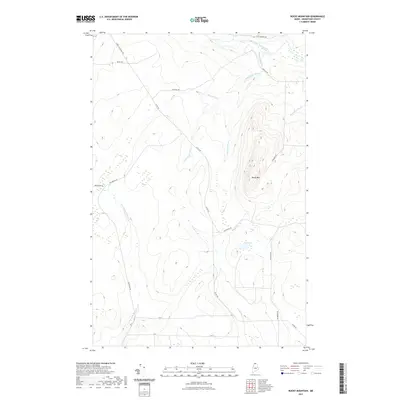
 2011 Rocky Mountain2011 Print · USGSCovers T17 R13 WELS, including T18 R13 WELS, T18 R12 WELS, and other nearby areas
 - 2014 Map of Rocky Mountain SW, 2014 Print
 2014 Rocky Mountain SW2014 Print · USGSCovers T17 R13 WELS, including T16 R13 WELS, T15 R13 WELS, and other nearby areas
 - 2014 Map of Schoolhouse Rapids, 2014 Print
 2014 Schoolhouse Rapids2014 Print · USGSCovers T17 R13 WELS, including T16 R13 WELS, T15 R13 WELS, and other nearby areas
 - 2014 Map of Rocky Mountain, 2014 Print
 2014 Rocky Mountain2014 Print · USGSCovers T17 R13 WELS, including T18 R13 WELS, T18 R12 WELS, and other nearby areas
 - 2014 Map of Rocky Mountain NW, 2014 Print
 2014 Rocky Mountain NW2014 Print · USGSCovers T17 R13 WELS, including T18 R13 WELS, Picard, and other nearby areas
 - 2018 Map of Rocky Mountain SW, 2018 Print
 2018 Rocky Mountain SW2018 Print · USGSCovers T17 R13 WELS, including T16 R13 WELS, T15 R13 WELS, and other nearby areas
 - 2018 Map of Schoolhouse Rapids, 2018 Print
 2018 Schoolhouse Rapids2018 Print · USGSCovers T17 R13 WELS, including T16 R13 WELS, T15 R13 WELS, and other nearby areas
 - 2018 Map of Rocky Mountain, 2018 Print
 2018 Rocky Mountain2018 Print · USGSCovers T17 R13 WELS, including T18 R13 WELS, T18 R12 WELS, and other nearby areas
 - 2018 Map of Rocky Mountain NW, 2018 Print
 2018 Rocky Mountain NW2018 Print · USGSCovers T17 R13 WELS, including T18 R13 WELS, Picard, and other nearby areas
 - 2021 Map of Rocky Mountain NW, 2021 Print
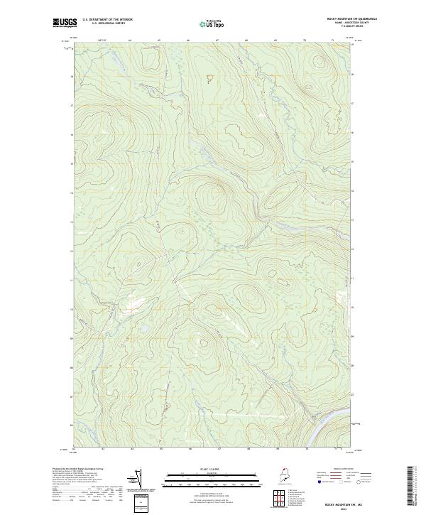
 2021 Rocky Mountain NW2021 Print · USGSCovers T17 R13 WELS, including T18 R13 WELS, Picard, and other nearby areas
 - 2021 Map of Schoolhouse Rapids, 2021 Print
 2021 Schoolhouse Rapids2021 Print · USGSCovers T17 R13 WELS, including T16 R13 WELS, T15 R13 WELS, and other nearby areas
 - 2021 Map of Rocky Mountain SW, 2021 Print
 2021 Rocky Mountain SW2021 Print · USGSCovers T17 R13 WELS, including T16 R13 WELS, T15 R13 WELS, and other nearby areas
 - 2021 Map of Rocky Mountain, 2021 Print
 2021 Rocky Mountain2021 Print · USGSCovers T17 R13 WELS, including T18 R13 WELS, T18 R12 WELS, and other nearby areas
 - 2024 Map of Rocky Mountain, 2024 Print
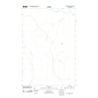
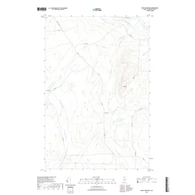
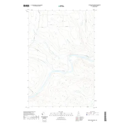
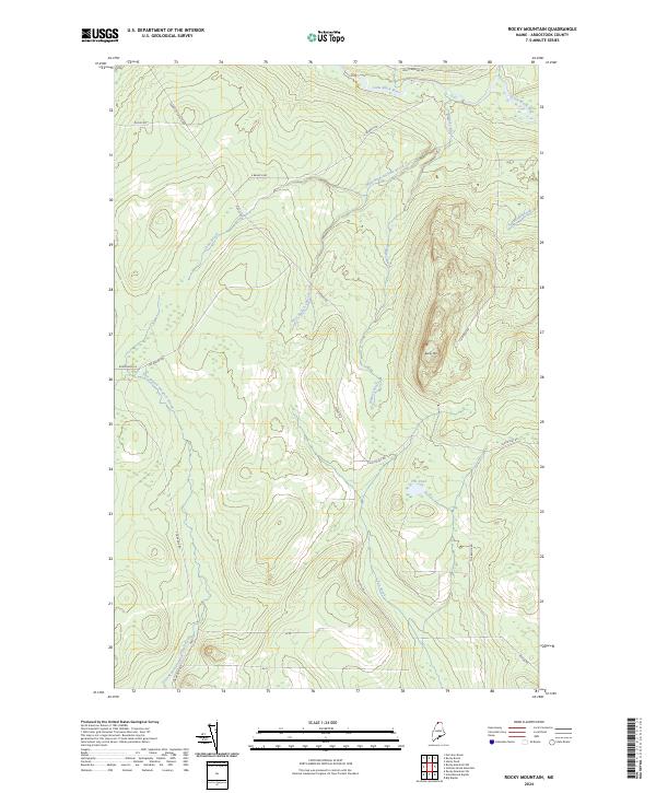 2024 Rocky Mountain2024 Print · USGSUpper Aroostook County remains a remote timber and water landscape in this recent topographic study. Genealogists and historians can trace the access routes and waterways of the North Woods, including Dickey Rd, Fox Pond, and the Little Black River.
 - 2024 Map of Rocky Mountain SW, 2024 Print
 2024 Rocky Mountain SW2024 Print · USGSThe deep Maine North Woods are revealed in this recent survey, showcasing a timberland landscape carved by major waterways. Researchers can trace the logging roads and river systems including Chimenticook Stream, Canada Rd, and the Saint John River.
Showing maps 1-25 of 27
Top cities near T17 R13 WELS
Frequently asked questions
- What are the different types of historical maps available for T17 R13 WELS?
- What is the oldest map of T17 R13 WELS?
- Where can I purchase historical maps of T17 R13 WELS for my home or office?
- Where can I download high-res historical maps of T17 R13 WELS?
- Are there historical topographic maps available for T17 R13 WELS?
- Is there historical aerial imagery available for T17 R13 WELS?
- Where are historical maps of T17 R13 WELS sourced from?