2020s Maps of T8 R3 WELS, Maine
Explore 8 historic maps of T8 R3 WELS from the 2020s. These maps offer a rare glimpse into what life looked like during the 2020s — showing old roads, neighborhoods, homes, and landmarks that have changed or disappeared over time.
Whether you're researching your family's past, planning a metal detecting trip, or studying how T8 R3 WELS's landscape evolved across the 2020s, these high-resolution maps are a powerful tool for exploring the history of this region.
- Focus on a specific era: All maps on this page are from the 2020s, giving you a focused view of this time period.
- See what’s changed: Compare century-old streets, trails, and buildings to today's modern landscape using overlays and satellite layers.
- Research with precision: Use these maps for genealogy, historical research, land use analysis, or educational projects.
- View, download, or print: Maps are fully viewable online in high resolution, and can be downloaded or printed for your own records.
Start exploring T8 R3 WELS's history through authentic maps from the 2020s. This is your window into the past.
T8 R3 WELS, ME maps
(8)- 2021 Map of Spinney Brook, 2021 Print
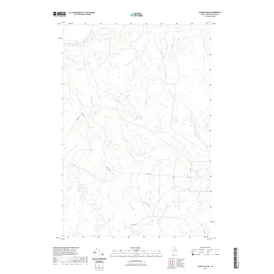 2021 Spinney Brook2021 Print · USGSCovers T8 R3 WELS, including T9 R4 WELS, Scopan Township, and other nearby areas
 - 2021 Map of Number Nine Lake, 2021 Print
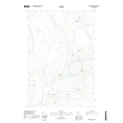 2021 Number Nine Lake2021 Print · USGSCovers T8 R3 WELS, including TD R2 WELS, T10 R3 WELS, and other nearby areas
 - 2021 Map of North Brook Ridge, 2021 Print
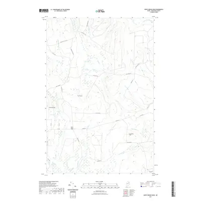 2021 North Brook Ridge2021 Print · USGSCovers T8 R3 WELS, including Hammond, TD R2 WELS, and other nearby areas
 - 2021 Map of Saint Croix Lake, 2021 Print
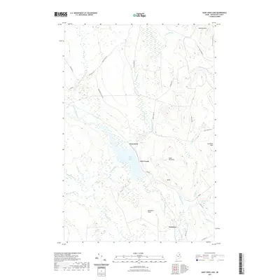 2021 Saint Croix Lake2021 Print · USGSCovers T8 R3 WELS, including Howe Brook, Weeksboro, and other nearby areas
 - 2024 Map of Spinney Brook, 2024 Print
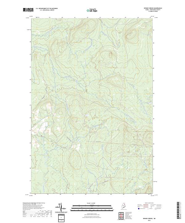 2024 Spinney Brook2024 Print · USGSAroostook County's deep woods are documented in this recent survey, showcasing a landscape of working forests and winding river branches. Researchers can trace timber roads like Mineola Rd and follow watercourses such as Spinney Brook and Ticic Camp Brook.
 - 2024 Map of Number Nine Lake, 2024 Print
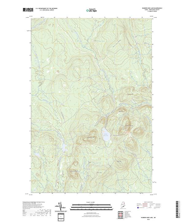 2024 Number Nine Lake2024 Print · USGSAroostook County's remote interior is documented here in the early twenty-first century, showing a landscape defined by industrial forestry and mountain peaks. Researchers can trace land use via No 9 Lake Rd or locate natural landmarks like Number Nine Mtn and Hovey Swamp.
 - 2024 Map of North Brook Ridge, 2024 Print
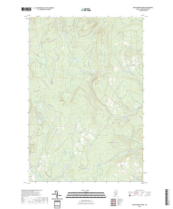 2024 North Brook Ridge2024 Print · USGSAroostook County's working timberlands are documented in this recent survey, showing the complex road systems and ridges of the North Maine Woods. Researchers can trace the drainages of North Brook and find named landmarks like The Pinnacle and Carmichael Ridge.
 - 2024 Map of Saint Croix Lake, 2024 Print
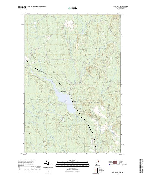 2024 Saint Croix Lake2024 Print · USGSNorthern Maine's timberlands and remote settlements are captured here in the 2020s. Researchers can trace forest communities like Howe Brook and Weeksboro or locate landmarks like Saint Croix Lake and Weeksboro Ridge.
End of results
Showing maps 1-8 of 8
Top cities near T8 R3 WELS
- Houlton historical maps
- Mars Hill historical maps
- Ashland historical maps
- Littleton historical maps
- Monticello historical maps
- Blaine historical maps
See more
Frequently asked questions
- What are the different types of historical maps available for T8 R3 WELS?
- What is the oldest map of T8 R3 WELS?
- Where can I purchase historical maps of T8 R3 WELS for my home or office?
- Where can I download high-res historical maps of T8 R3 WELS?
- Are there historical topographic maps available for T8 R3 WELS?
- Is there historical aerial imagery available for T8 R3 WELS?
- Where are historical maps of T8 R3 WELS sourced from?