Old Maps of Weston, Maine for Academic Research
Study the evolution of Weston with 39 high-resolution historic maps. Whether you're teaching, researching, or modeling changes in land use, these maps provide essential visual documentation of urban, environmental, and geographic change.
- Analyze long-term change: Track patterns in development, transportation, and natural features.
- Ideal for environmental or urban studies: Support academic projects with primary historical map data.
- Use in the classroom or lab: Educators and researchers rely on these maps to bring historical context to life.
These maps are a powerful tool for teaching, research, and visualizing how Weston has changed over the decades.
Weston, ME maps
(39)- 1940 Map of Danforth
 1940 Danforth1940 Print · USGSUpper Washington and Aroostook counties come into focus just before the war, showing the vital rail junction at Danforth. Family historians can locate rural landmarks like Irish Settlement, the Trout Creek Cem, and schools such as Bonner Sch or Butterfield Sch.
 - 1940 Map of Amity
 1940 Amity1940 Print · USGSAroostook County was a landscape of remote border settlements and logging streams just before the Second World War. Researchers can trace family-named sites like Wilcox Settlement, find rural schoolhouses such as Estabrook Sch, and locate the Wilcox Cem near the Canadian line.
 - 1941 Map of Danforth
 1941 Danforth1941 Print · USGSThe Maine-New Brunswick borderlands come to life in this survey of the rail and timber country just before the war. Genealogists and historians can trace family-named sites like the Irish Settlement, Trout Brook Cem, and schools like Shaw Sch.2 unique versions available
 - 1941 Map of Amity
 1941 Amity1941 Print · USGSAroostook County's borderlands are captured here just before the mid-century, detailing the rural life of eastern Maine along the New Brunswick line. Researchers can locate vanished schoolhouses like Estabrook Sch and family landmarks such as Wilcox Settlement or the Ferry Bridge.2 unique versions available
 - 1943 Map of Danforth
 1943 Danforth1943 Print · USGSThe rail-and-timber landscape of eastern Maine comes to life here as the two major railroads cross at Danforth. Genealogists can trace family-named sites like Irish Settlement and Cranetown, or locate remote points such as Trout Brook Cem and South Bancroft.3 unique versions available
 - 1943 Map of Amity
 1943 Amity1943 Print · USGSSouthern Aroostook County and the Canadian borderlands are captured here just before the mid-century, defined by small settlements and family-named ridges. Researchers can locate rural schools like Estabrook Sch, early burial grounds at Wilcox Cem, and the river crossing at Ferry Bridge.3 unique versions available
 - 1957 Map of Fredericton, 1981 Print
 1957 Fredericton1981 Print · USGSThe New Brunswick and Maine borderlands come into focus in the mid-fifties, dominated by the Saint John River and massive military tracts. Genealogists can locate riverfront hamlets like Maugerville or inland sites like Scotch Settlement along the Canadian Pacific rail line.
 - 1958 Map of Danforth, 1960 Print
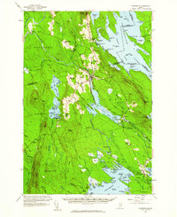 1958 Danforth1960 Print · USGSThe international borderlands and rail junctions of eastern Maine are captured here in the late fifties. Researchers can trace historic family landmarks and communities like the Irish Settlement, Brookton, and the Grand Lake Grange.3 unique versions available
 - 1958 Map of Amity, 1960 Print
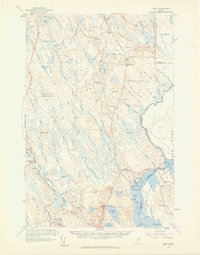 1958 Amity1960 Print · USGSIn the late 1950s, this portion of eastern Maine was a landscape of remote settlements and international border crossings. Genealogists can locate family landmarks like Wilcox Settlement, the Grange Hall, and several country schoolhouses including Elliot Sch.3 unique versions available
 - 1963 Map of Fredericton
 1963 Fredericton1963 Print · USGSThe Saint John River valley and the Maine-New Brunswick border are captured here during the early sixties. Researchers can trace the Canadian Pacific rail lines through rural settlements like Jewetts Mills, Mckeens Corner, and Scotch Settlement.
 - 1975 Map of Amity SE, 1980 Print
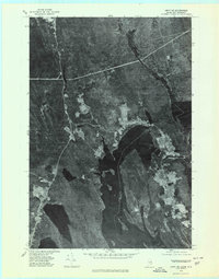 1975 Amity SE1980 Print · USGSThe Maine and New Brunswick border comes into focus in the mid-1970s, showcasing the remote timberlands and waterways along the international line. Trace the small settlements of Orient and Fosterville flanking the deep Chiputneticook Lakes.2 unique versions available
 - 1975 Map of Amity SW, 1980 Print
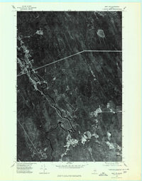 1975 Amity SW1980 Print · USGSAroostook County timberlands are seen in detail during the 1970s, as logging roads and river bends define the landscape. Researchers can trace the clearings of small settlements like Haynesville and North Bancroft along the winding Mattawamkeag River.
 - 1975 Map of Danforth NE, 1980 Print
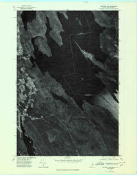 1975 Danforth NE1980 Print · USGSThe international boundary at the Maine-New Brunswick line is captured here in the mid-seventies, showing the lakeside settlements along the eastern border. Genealogists can trace early homestead footprints near Danforth and landing sites like Butterfield Landing.
 - 1975 Map of Danforth NW, 1980 Print
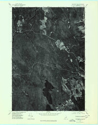 1975 Danforth NW1980 Print · USGSAroostook County's wooded interior is documented in the mid-1970s, showcasing the remote settlements and river systems of northern Maine. Researchers can trace land use around South Bancroft and locate properties between Mattawamkeag River and Lower Hot Brook Lake.
 - 1988 Map of Danforth
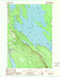 1988 Danforth1988 Print · USGSThe Maine-New Brunswick borderlands are shown here in the late eighties, where the town of Danforth meets the expansive Chiputneticook Grand Lake. Researchers can trace old property lines and local landmarks like the Grand Lake Grange, Flagstaff, and Weston.
 - 1988 Map of Jimmey Mountain
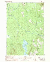 1988 Jimmey Mountain1988 Print · USGSAroostook and Washington counties meet here in the late twentieth century, where river-carved timberlands define the landscape. Genealogists and historians can trace the Irish Settlement and South Bancroft or locate landmarks like Peekaboo Mtn and Lower Hot Brook Lake.
 - 1989 Map of Orient
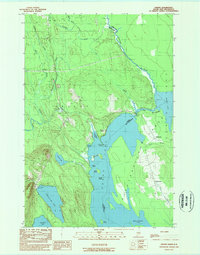 1989 Orient1989 Print · USGSThe Maine-New Brunswick borderlands come into focus in this late twentieth-century survey of southern Aroostook County. Researchers can trace lakeside developments and remote settlements like Orient and Fosterville along the shores of Grand Lake and North Lake.
 - 1989 Map of Haynesville
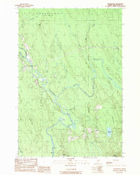 1989 Haynesville1989 Print · USGSAroostook County's river-cut timberlands are captured here in the late eighties, centered on the Mattawamkeag River valley. Genealogists and researchers can trace the roads through Haynesville, locate family plots at the Cem, or find landmarks like Peekaboo Mountain and Selden.
 - 1994 Map of Danforth
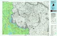 1994 Danforth1994 Print · USGSThe Maine-New Brunswick borderlands come into focus in the 1990s, where the international line traces the St Croix River. Researchers can map the historic Wilcox Settlement, the rail corridor of the Canadian Pacific, and the waterfronts of Spednic Lake.
 - 2011 Map of Danforth, 2011 Print
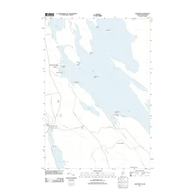 2011 Danforth2011 Print · USGSDanforth and the shores of Grand Lake are documented here in the early twenty-first century, showcasing a landscape defined by water and woods. Local historians can trace the community through sites like the Grand Lake Grange, Danforth Cemetery, and the Crooked Brook Dam.
 - 2011 Map of Haynesville, 2011 Print
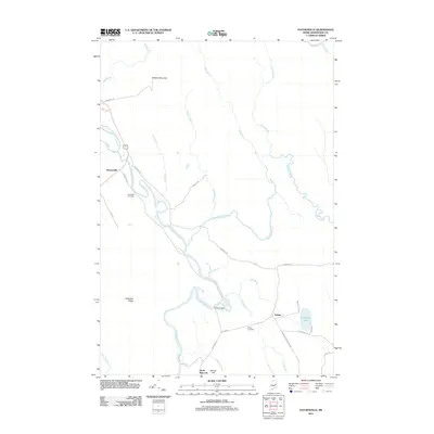 2011 Haynesville2011 Print · USGSSouthern Aroostook County is shown here in the early twenty-first century, centered on the winding Mattawamkeag River and its rural settlements. Genealogists and local historians can trace family locations near Riverside Cemetery, Selden, and the Ferry Bridge.
 - 2011 Map of Jimmey Mountain, 2011 Print
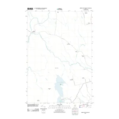 2011 Jimmey Mountain2011 Print · USGSThe borderlands of Aroostook and Washington counties are documented here in the early twenty-first century, showing a landscape defined by timber ridges and glacial lakes. Genealogists can locate the Irish Settlement and Trout Brook Cemetery near the shores of Lower Hot Brook Lake.
 - 2011 Map of Orient, 2011 Print
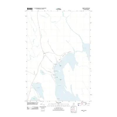 2011 Orient2011 Print · USGSThe Maine-New Brunswick borderlands appear as a network of interconnected lakes and forest roads in this modern survey. Genealogists can locate Peters Cove Cemetery while shoreline researchers trace landmarks like Caribou Point and Halfmoon Island on Grand Lake.
 - 2014 Map of Danforth, 2014 Print
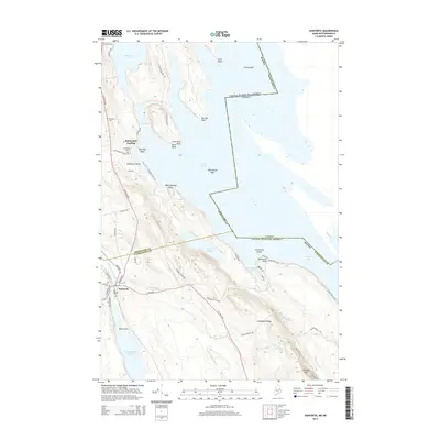 2014 Danforth2014 Print · USGSDanforth and the surrounding lake country appear in this modern survey of the Maine-New Brunswick borderlands. Genealogists and local historians can trace family locations near Butterfield Landing or locate historical burial grounds at Danforth Cemetery and Brackett Cemetery.
 - 2014 Map of Haynesville, 2014 Print
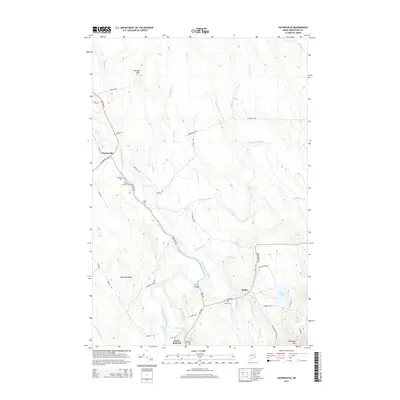 2014 Haynesville2014 Print · USGSThis rural portion of Aroostook County is centered on the Mattawamkeag River valley as it appeared in the early twenty-first century. Genealogists and local historians can locate several family cemeteries like Blaisdell Cem and Selden Cem, or trace the path of the historic Military Rd.
Showing maps 1-25 of 39
Top cities near Weston
- Danforth historical maps
- Amity historical maps
- Prentiss Township historical maps
- Topsfield historical maps
- Orient historical maps
- Reed Plantation historical maps
See more
Top neighborhoods of Weston
Frequently asked questions
- What are the different types of historical maps available for Weston?
- What is the oldest map of Weston?
- Where can I purchase historical maps of Weston for my home or office?
- Where can I download high-res historical maps of Weston?
- Are there historical topographic maps available for Weston?
- Is there historical aerial imagery available for Weston?
- Where are historical maps of Weston sourced from?