1900s (20th Century) Maps of Gorham, Maine
Explore 28 historic maps of Gorham from the 1900s (20th Century). These maps offer a rare glimpse into what life looked like during the 1900s — showing old roads, neighborhoods, homes, and landmarks that have changed or disappeared over time.
Whether you're researching your family's past, planning a metal detecting trip, or studying how Gorham's landscape evolved across the 1900s, these high-resolution maps are a powerful tool for exploring the history of this region.
- Focus on a specific era: All maps on this page are from the 1900s, giving you a focused view of this time period.
- See what’s changed: Compare century-old streets, trails, and buildings to today's modern landscape using overlays and satellite layers.
- Research with precision: Use these maps for genealogy, historical research, land use analysis, or educational projects.
- View, download, or print: Maps are fully viewable online in high resolution, and can be downloaded or printed for your own records.
Start exploring Gorham's history through authentic maps from the 1900s. This is your window into the past.
Gorham, ME maps
(28)- 1914 Map of Portland
 1914 Portland1914 Print · USGSCoastal Maine at the start of the twentieth century shows a landscape tied together by industrial rivers and an expanding network of electric railroads. Genealogists can locate family names at Hillside Cemetery or trace old rural schoolhouses like the Babb School and Beech Ridge School.
 - 1916 Map of Portland
 1916 Portland1916 Print · USGSGreater Portland and the Cumberland County coast are documented here during the height of the trolley and rail era. Researchers can trace ancestral property near the Evergreen Cemetery, early industries at Cumberland Mills, and vanished local sites like the State Reform School.7 unique versions available
 - 1916 Map of Portland And Vicinity
 1916 Portland And Vicinity1916 Print · USGSCoastal Maine at the start of the Great War reveals a landscape of heavy coastal fortifications and bustling rail terminals. Trace old neighborhood boundaries and family landmarks like Milliken Mills, Hillside Cemetery, and the Portland Head lighthouse.
 - 1918 Map of Portland And Vicinity, 1926 Print
 1918 Portland And Vicinity1926 Print · USGSCoastal Maine at the height of the Great War reveals a landscape of harbor forts, railroad junctions, and seaside settlements. Genealogists and historians can trace family roots through labels for Evergreen Cemetery, Spurwink Church, and dozens of rural schoolhouses like Babb School.
 - 1941 Map of Portland
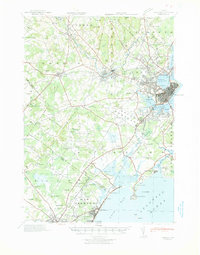 1941 Portland1941 Print · USGSCoastal Maine at the start of the 1940s reveals a bustling corridor of river mills and seaside settlements. Genealogists and historians can trace family roots through numerous local schools and landmarks like Cumberland Mills, Spurwink Ch, and Prouts Neck.
 - 1942 Map of Gray, 1956 Print
 1942 Gray1956 Print · USGSCumberland County’s interior landscape comes into focus during the early 1940s, revealing a network of rail-side stations and crossroads hamlets. Genealogists and historians can trace family locations near Suckerville, Purinton Cem, and the Friends Ch.
 - 1942 Map of Buxton, 1958 Print
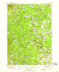 1942 Buxton1958 Print · USGSIn the early 1940s, the river valleys of southern Maine were defined by a tight-knit network of mill towns and rail corridors. Trace family roots and local industry through features like Salmon Falls, Shaw Mills, and the Chadbourne Cem.3 unique versions available
 - 1942 Map of Sebago Lake, 1959 Print
 1942 Sebago Lake1959 Print · USGSCumberland County’s lakes and ridges were well-established as a summer destination in the early 1940s, centered around the expanse of Sebago Lake. Researchers can trace old rail routes at East Baldwin Mattocks Sta, find the historic Potter Academy, or locate family sites near South Naples.3 unique versions available
 - 1943 Map of Sebago Lake
 1943 Sebago Lake1943 Print · USGSMaine's lake country thrived during the early 1940s as a hub of rail commerce and early recreation. You can trace the Maine Central Railroad through Steep Falls or find local landmarks like Potter Academy and Songo Lock.3 unique versions available
 - 1944 Map of Buxton
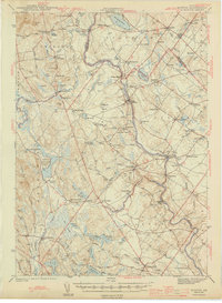 1944 Buxton1944 Print · USGSThe Saco River valley during the mid-forties reveals a landscape of mill towns and interconnected rural hamlets. Genealogists and local historians can trace the foundations of Bar Mills, locate the Chadbourne Cem, or follow the path of the Boston and Maine railroad.3 unique versions available
 - 1944 Map of Gray
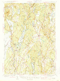 1944 Gray1944 Print · USGSCumberland County village life and the rail-and-water economy are captured here just after the war. You can trace the Maine Central line through several depots or locate historic family landmarks like Purinton Cem and the Opportunity Sch.3 unique versions available
 - 1944 Map of Gorham
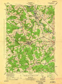 1944 Gorham1944 Print · USGSCumberland County during the mid-forties reveals a network of mill towns and crossroads communities linked by rail. Genealogists can trace family footprints near Hillside Cemetery or the State Normal School, while finding old rural routes through Newhall and South Gorham.
 - 1944 Map of Old Orchard Beach
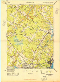 1944 Old Orchard Beach1944 Print · USGSCoastal Maine during the mid-forties reveals a landscape of summer resorts, rural schoolhouses, and working mills. Genealogists and historians can trace the foundations of Old Orchard Beach and find landmarks like Milliken Mills, the Heath Meetinghouse, and Ocean Park.
 - 1949 Map of Portland
 1949 Portland1949 Print · USGSCoastal Maine and the New Hampshire interior are shown in detail during the late forties, from the bustling harbors to the lakeside villages. Researchers can trace historical rail networks like the Boston & Maine RR and locate coastal defenses such as Fort Preble.3 unique versions available
 - 1950 Map of Gorham
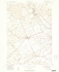 1950 Gorham1950 Print · USGSCumberland County at mid-century reveals a bustling network of river-powered mill towns and railroad corridors. Genealogists can locate family landmarks like Winship Corner, local institutions such as the State Normal Sch, and several rural burial sites including Browns Cem.2 unique versions available
 - 1956 Map of Old Orchard Beach, 1958 Print
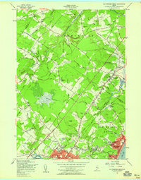 1956 Old Orchard Beach1958 Print · USGSThe Maine coast in the mid-fifties shows a bustling transition from rail-era resort life to the modern turnpike age. Researchers can trace family landmarks and civic centers like Thornton Academy, the Campground Tabernacle, and Beech Ridge Speedway.4 unique versions available
 - 1956 Map of Portland, 1963 Print
 1956 Portland1963 Print · USGSSouthern Maine and eastern New Hampshire are captured here in the mid-fifties, during a time of major highway expansion and military growth. You can trace the path of the Maine Turnpike and locate landmarks like the Portsmouth Naval Shipyard and Sebago Lake.4 unique versions available
 - 1957 Map of Gorham, 1958 Print
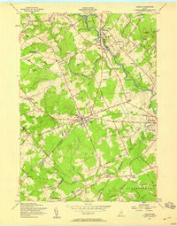 1957 Gorham1958 Print · USGSCumberland County in the late fifties shows a landscape of classic New England town centers and rural corners. Researchers can locate the State Teachers College, early schools like Whitney Sch, and family sites at Gag Corner or Fort Hill Cem.3 unique versions available
 - 1957 Map of North Windham, 1959 Print
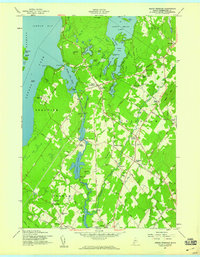 1957 North Windham1959 Print · USGSCumberland County's lake-and-river landscape is captured here in the late fifties, during a period of steady residential and industrial growth. Researchers can trace family history through several local burial grounds like Purington Cem or explore the river economy at Eel Weir Power Sta.4 unique versions available
 - 1957 Map of Gray, 1960 Print
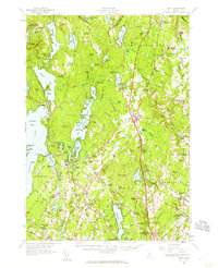 1957 Gray1960 Print · USGSCumberland County during the mid-fifties shows a landscape of established rail towns and growing turnpike access. Genealogists and historians can trace family locations near crossroads like Ireland Corner, find old schools such as Gloucester Hill School, and locate rural landmarks like Windham Plains Chapel.5 unique versions available
 - 1957 Map of Portland, 1960 Print
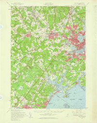 1957 Portland1960 Print · USGSCoastal Maine during the mid-fifties shows the transition from historic maritime centers to the suburban era. Researchers can trace family roots through numerous sites like Evergreen Cem, Thornton Academy, and the State Reformatory for Men.3 unique versions available
 - 1959 Map of Portland
 1959 Portland1959 Print · USGSThe Maine and New Hampshire coastlines meet in this mid-century portrait of maritime commerce and inland rail networks. Researchers can trace the legacy of coastal defense at Fort Williams and follow the historic path of the Maine Central RR through the White Mountain National Forest.2 unique versions available
 - 1963 Map of Portland
 1963 Portland1963 Print · USGSCoastal Maine and New Hampshire thrived as maritime and industrial hubs during the mid-sixties, linked by a dense network of rail and river. Researchers can trace historic transit corridors like the Maine Central RR and locate key sites such as the Portsmouth Naval Shipyard or Pease Air Force Base.3 unique versions available
 - 1975 Map of Gorham, 1979 Print
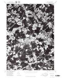 1975 Gorham1979 Print · USGSCumberland County communities are seen in transition during the mid-seventies as suburban patterns emerge among older farmsteads. Researchers can trace land use near Gorham and Westbrook or follow the courses of the Presumpscot River and Nonesuch River.
 - 1975 Map of Old Orchard Beach, 1979 Print
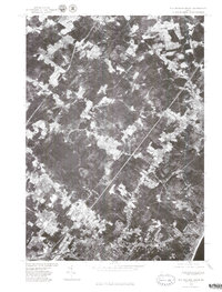 1975 Old Orchard Beach1979 Print · USGSCoastal Maine settlement meets the Atlantic in the mid-seventies, captured in high-detail aerial photography. Trace the growth of Old Orchard Beach and West Scarborough along the banks of the Nonesuch River.
Showing maps 1-25 of 28
Top cities near Gorham
- Portland historical maps
- South Portland historical maps
- Biddeford historical maps
- Scarborough historical maps
- Sanford historical maps
- Westbrook historical maps
See more
Top neighborhoods of Gorham
- Little Falls historical maps
- Gag Corner historical maps
- Mosher Corner historical maps
- Dog Corner historical maps
- White Rock historical maps
- South Gorham historical maps
See more
Frequently asked questions
- What are the different types of historical maps available for Gorham?
- What is the oldest map of Gorham?
- Where can I purchase historical maps of Gorham for my home or office?
- Where can I download high-res historical maps of Gorham?
- Are there historical topographic maps available for Gorham?
- Is there historical aerial imagery available for Gorham?
- Where are historical maps of Gorham sourced from?