2000s (21st Century) Maps of Raymond, Maine
Explore 30 historic maps of Raymond from the 2000s (21st Century). These maps offer a rare glimpse into what life looked like during the 2000s — showing old roads, neighborhoods, homes, and landmarks that have changed or disappeared over time.
Whether you're researching your family's past, planning a metal detecting trip, or studying how Raymond's landscape evolved across the 2000s, these high-resolution maps are a powerful tool for exploring the history of this region.
- Focus on a specific era: All maps on this page are from the 2000s, giving you a focused view of this time period.
- See what’s changed: Compare century-old streets, trails, and buildings to today's modern landscape using overlays and satellite layers.
- Research with precision: Use these maps for genealogy, historical research, land use analysis, or educational projects.
- View, download, or print: Maps are fully viewable online in high resolution, and can be downloaded or printed for your own records.
Start exploring Raymond's history through authentic maps from the 2000s. This is your window into the past.
Raymond, ME maps
(30)- 2011 Map of Naples, 2011 Print
 2011 Naples2011 Print · USGSCovers Raymond, including Naples, Casco, and other nearby areas
 - 2011 Map of Gray, 2011 Print
 2011 Gray2011 Print · USGSCovers Raymond, including Auburn, Gray, and other nearby areas
 - 2011 Map of North Windham, 2011 Print
 2011 North Windham2011 Print · USGSCovers Raymond, including Windham, Gorham, and other nearby areas
 - 2011 Map of Raymond, 2011 Print
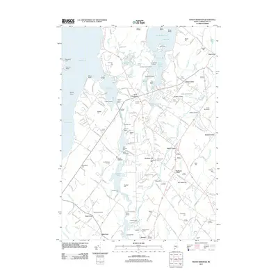
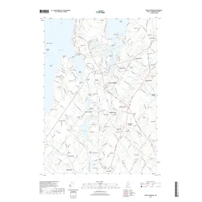
 2011 Raymond2011 Print · USGSCovers Raymond, including Windham, Gray, and other nearby areas
 - 2011 Map of Sebago Lake, 2011 Print
 2011 Sebago Lake2011 Print · USGSCovers Raymond, including Gorham, Standish, and other nearby areas
 - 2011 Map of Mechanic Falls, 2011 Print
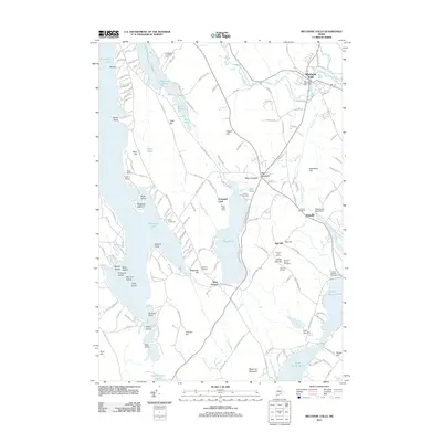 2011 Mechanic Falls2011 Print · USGSCovers Raymond, including Poland, New Gloucester, and other nearby areas
 - 2014 Map of Naples, 2014 Print
 2014 Naples2014 Print · USGSCovers Raymond, including Naples, Casco, and other nearby areas
 - 2014 Map of North Windham, 2014 Print
 2014 North Windham2014 Print · USGSCovers Raymond, including Windham, Gorham, and other nearby areas
 - 2014 Map of Raymond, 2014 Print
 2014 Raymond2014 Print · USGSCovers Raymond, including Windham, Gray, and other nearby areas
 - 2014 Map of Sebago Lake, 2014 Print
 2014 Sebago Lake2014 Print · USGSCovers Raymond, including Gorham, Standish, and other nearby areas
 - 2014 Map of Gray, 2014 Print
 2014 Gray2014 Print · USGSCovers Raymond, including Auburn, Gray, and other nearby areas
 - 2014 Map of Mechanic Falls, 2014 Print
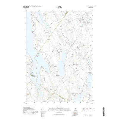
 2014 Mechanic Falls2014 Print · USGSCovers Raymond, including Poland, New Gloucester, and other nearby areas
 - 2018 Map of Raymond, 2018 Print
 2018 Raymond2018 Print · USGSCovers Raymond, including Windham, Gray, and other nearby areas
 - 2018 Map of North Windham, 2018 Print
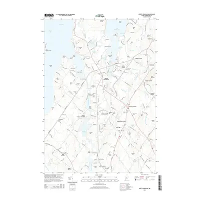
 2018 North Windham2018 Print · USGSCovers Raymond, including Windham, Gorham, and other nearby areas
 - 2018 Map of Naples, 2018 Print
 2018 Naples2018 Print · USGSCovers Raymond, including Naples, Casco, and other nearby areas
 - 2018 Map of Sebago Lake, 2018 Print
 2018 Sebago Lake2018 Print · USGSCovers Raymond, including Gorham, Standish, and other nearby areas
 - 2018 Map of Gray, 2018 Print
 2018 Gray2018 Print · USGSCovers Raymond, including Auburn, Gray, and other nearby areas
 - 2018 Map of Mechanic Falls, 2018 Print
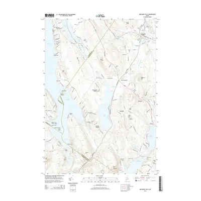
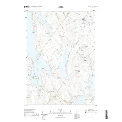
 2018 Mechanic Falls2018 Print · USGSCovers Raymond, including Poland, New Gloucester, and other nearby areas
 - 2021 Map of Sebago Lake, 2021 Print
 2021 Sebago Lake2021 Print · USGSCovers Raymond, including Gorham, Standish, and other nearby areas
 - 2021 Map of Naples, 2021 Print
 2021 Naples2021 Print · USGSCovers Raymond, including Naples, Casco, and other nearby areas
 - 2021 Map of Raymond, 2021 Print
 2021 Raymond2021 Print · USGSCovers Raymond, including Windham, Gray, and other nearby areas
 - 2021 Map of North Windham, 2021 Print
 2021 North Windham2021 Print · USGSCovers Raymond, including Windham, Gorham, and other nearby areas
 - 2021 Map of Mechanic Falls, 2021 Print
 2021 Mechanic Falls2021 Print · USGSCovers Raymond, including Poland, New Gloucester, and other nearby areas
 - 2021 Map of Gray, 2021 Print
 2021 Gray2021 Print · USGSCovers Raymond, including Auburn, Gray, and other nearby areas
 - 2024 Map of Naples, 2024 Print
 2024 Naples2024 Print · USGSCumberland County’s lake country is mapped here in the early twenty-first century, showing the intricate waterways between Long Lake and Sebago Lake. Researchers can locate many small burial grounds such as the Manning Cem or Green Grove Cem and trace the historic Songo Lock.
Showing maps 1-25 of 30
Top cities near Raymond
- Portland historical maps
- Auburn historical maps
- Westbrook historical maps
- Windham historical maps
- Gorham historical maps
- Falmouth historical maps
See more
Top neighborhoods of Raymond
Frequently asked questions
- What are the different types of historical maps available for Raymond?
- What is the oldest map of Raymond?
- Where can I purchase historical maps of Raymond for my home or office?
- Where can I download high-res historical maps of Raymond?
- Are there historical topographic maps available for Raymond?
- Is there historical aerial imagery available for Raymond?
- Where are historical maps of Raymond sourced from?