2010s Maps of Sebago, Maine
Explore 15 historic maps of Sebago from the 2010s. These maps offer a rare glimpse into what life looked like during the 2010s — showing old roads, neighborhoods, homes, and landmarks that have changed or disappeared over time.
Whether you're researching your family's past, planning a metal detecting trip, or studying how Sebago's landscape evolved across the 2010s, these high-resolution maps are a powerful tool for exploring the history of this region.
- Focus on a specific era: All maps on this page are from the 2010s, giving you a focused view of this time period.
- See what’s changed: Compare century-old streets, trails, and buildings to today's modern landscape using overlays and satellite layers.
- Research with precision: Use these maps for genealogy, historical research, land use analysis, or educational projects.
- View, download, or print: Maps are fully viewable online in high resolution, and can be downloaded or printed for your own records.
Start exploring Sebago's history through authentic maps from the 2010s. This is your window into the past.
Sebago, ME maps
(15)- 2011 Map of Naples, 2011 Print
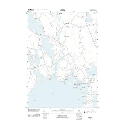 2011 Naples2011 Print · USGSMaine's Sebago Lake region and the winding Songo River are detailed here in the early twenty-first century. Genealogists and local historians can trace family ties at Cook-Pinkham Cemetery and Maxfield Cemetery or locate old industrial sites like Cook Mills.
 - 2011 Map of Steep Falls, 2011 Print
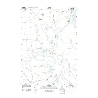 2011 Steep Falls2011 Print · USGSThe rural interior of Cumberland and York counties is mapped here during the early twenty-first century, centered on the winding Saco River. Genealogists and historians can trace numerous family burial sites like York Cemetery and landmark locations such as Mattocks Station and Ruin Corner.
 - 2011 Map of Hiram, 2011 Print
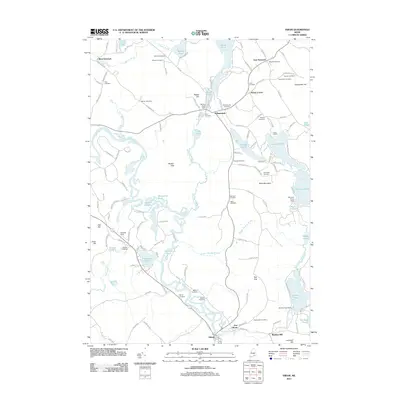 2011 Hiram2011 Print · USGSMaine's lake country and the winding Saco River are captured here in the early twenty-first century. Genealogists can trace family heritage across more than a dozen local burial sites, including the Gilman Cemetery, Holt Cemetery, and Bean Cemetery.
 - 2011 Map of North Sebago, 2011 Print
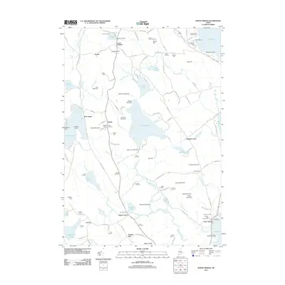 2011 North Sebago2011 Print · USGSThe Lake Region of Maine is captured here during the early twenty-first century, featuring the intricate shorelines and family lands of Cumberland County. Genealogists can locate several family burial grounds like Boulter Cemetery and Ward Cemetery, while tracing old routes like Old Narrow Gauge Rd.
 - 2011 Map of Sebago Lake, 2011 Print
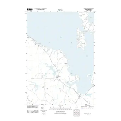 2011 Sebago Lake2011 Print · USGSThe eastern shores of Sebago Lake come into focus in the early 2010s, showcasing the seasonal and year-round communities of Cumberland County. Researchers can trace the development of Frye Island, locate the Friendship Cemetery, or follow the winding path of the Sticky River.
 - 2014 Map of Naples, 2014 Print
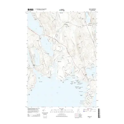 2014 Naples2014 Print · USGSCumberland County's lake district is captured here in the early twenty-first century, centered on the historic Songo Lock and the village of Naples. Genealogists and local historians can trace family burial sites like Tenney Hill Cem and Manning Cem across a landscape of points, coves, and hills.
 - 2014 Map of Hiram, 2014 Print
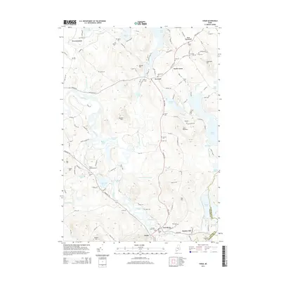 2014 Hiram2014 Print · USGSThe Saco River valley at the turn of the 21st century reveals a landscape of enduring rural hamlets and deep family roots. Genealogists can locate over a dozen burial sites like Gilman Cem and Schoolhouse Cem near the villages of Denmark and Hiram.
 - 2014 Map of North Sebago, 2014 Print
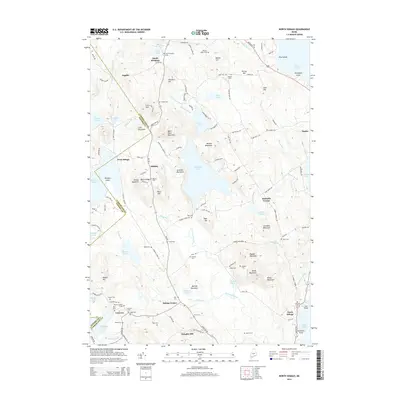 2014 North Sebago2014 Print · USGSMaine’s lake country near the Oxford and Cumberland county line is shown here in the mid-2010s, defined by a landscape of granite hills and quiet ponds. Researchers can trace numerous family burial sites such as Fitch Cem and Dyer Cem or locate old settlements like South Bridgton and West Sebago.
 - 2014 Map of Steep Falls, 2014 Print
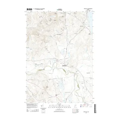 2014 Steep Falls2014 Print · USGSCumberland and York counties meet along the Saco River in this early twenty-first-century survey of the Maine interior. Genealogists and local historians can trace family lineages through numerous burial sites like Old Wentworth Cem and settlements such as East Baldwin Mattocks Station.
 - 2014 Map of Sebago Lake, 2014 Print
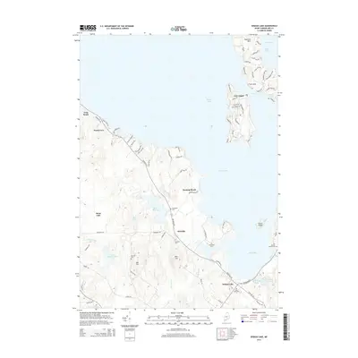 2014 Sebago Lake2014 Print · USGSThe Cumberland County shoreline and the sprawling waters of Sebago Lake are captured here in the early twenty-first century. Researchers can trace local lineage through several family and community burial sites, including Friendship Cem, Poor Birch Cem, and Richville Cem.
 - 2018 Map of North Sebago, 2018 Print
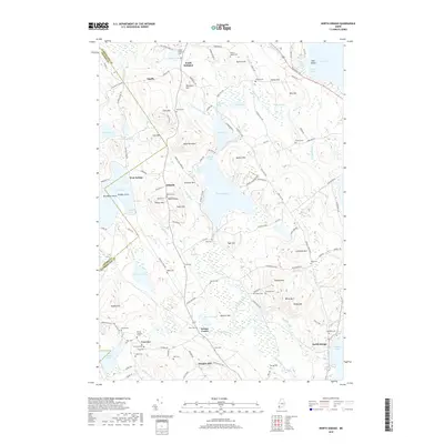 2018 North Sebago2018 Print · USGSThe upland terrain of Cumberland and Oxford counties comes alive in this survey of the Maine interior. Researchers can locate dozens of family burial sites like the Fogg Yard and Babb Cem, or trace the old routes of Narrow Gauge Rd near West Sebago.
 - 2018 Map of Hiram, 2018 Print
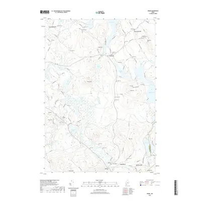 2018 Hiram2018 Print · USGSThe borderlands of Oxford and Cumberland counties are shown here in the late twenty-tens, centered on the Saco River valley. Genealogists can trace decades of local history through dozens of named burial grounds including Schoolhouse Cem, Thomas Cem, and Watson Cem.
 - 2018 Map of Naples, 2018 Print
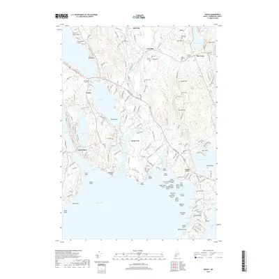 2018 Naples2018 Print · USGSThe Lake Region of Maine comes into focus in this late-2010s survey, showing the intricate connections between the great inland waters. Researchers can trace the heritage of the hillside farms and lake communities through family landmarks like Maxfield Cem, Songo Lock, and Pike Corner.
 - 2018 Map of Sebago Lake, 2018 Print
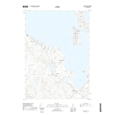 2018 Sebago Lake2018 Print · USGSThe eastern shores of Sebago Lake and its vibrant island communities are documented in this recent survey. Researchers can trace family history through numerous burial sites like Richville Cem and Oak Hill Cem or explore the street layouts of Frye Island.
 - 2018 Map of Steep Falls, 2018 Print
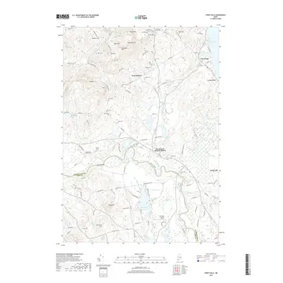 2018 Steep Falls2018 Print · USGSThe Saco River corridor comes to life in the late twenty-tens, showing the rural communities of Steep Falls and North Baldwin at the junction of two counties. Genealogists can locate dozens of family burial sites such as Fitch Cem and Larrabee Cem alongside landmarks like Limington-Harmon Airport.
End of results
Showing maps 1-15 of 15
Top cities near Sebago
- Windham historical maps
- Gorham historical maps
- Standish historical maps
- Buxton historical maps
- Gray historical maps
- Waterboro historical maps
See more
Top neighborhoods of Sebago
- Douglas Hill historical maps
- Hillside historical maps
- Macs Corner historical maps
- Sebago Center historical maps
- West Sebago historical maps
- Convene historical maps
See more
Frequently asked questions
- What are the different types of historical maps available for Sebago?
- What is the oldest map of Sebago?
- Where can I purchase historical maps of Sebago for my home or office?
- Where can I download high-res historical maps of Sebago?
- Are there historical topographic maps available for Sebago?
- Is there historical aerial imagery available for Sebago?
- Where are historical maps of Sebago sourced from?