2020s Maps of Jim Pond Township, Maine
Explore 8 historic maps of Jim Pond Township from the 2020s. These maps offer a rare glimpse into what life looked like during the 2020s — showing old roads, neighborhoods, homes, and landmarks that have changed or disappeared over time.
Whether you're researching your family's past, planning a metal detecting trip, or studying how Jim Pond Township's landscape evolved across the 2020s, these high-resolution maps are a powerful tool for exploring the history of this region.
- Focus on a specific era: All maps on this page are from the 2020s, giving you a focused view of this time period.
- See what’s changed: Compare century-old streets, trails, and buildings to today's modern landscape using overlays and satellite layers.
- Research with precision: Use these maps for genealogy, historical research, land use analysis, or educational projects.
- View, download, or print: Maps are fully viewable online in high resolution, and can be downloaded or printed for your own records.
Start exploring Jim Pond Township's history through authentic maps from the 2020s. This is your window into the past.
Jim Pond Township, ME maps
(8)- 2021 Map of Stratton, 2021 Print
 2021 Stratton2021 Print · USGSCovers Jim Pond Township, including Eustis, Coplin Plantation, and other nearby areas
 - 2021 Map of Jim Pond, 2021 Print
 2021 Jim Pond2021 Print · USGSCovers Jim Pond Township, including Kibby Township, Alder Stream Township, and other nearby areas
 - 2021 Map of King And Bartlett Mountain, 2021 Print
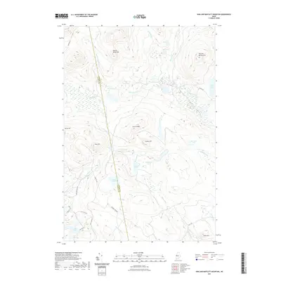 2021 King And Bartlett Mountain2021 Print · USGSCovers Jim Pond Township, including Haynestown Township, King & Bartlett Township, and other nearby areas
 - 2021 Map of Tim Mountain, 2021 Print
 2021 Tim Mountain2021 Print · USGSCovers Jim Pond Township, including Eustis, Coplin Plantation, and other nearby areas
 - 2024 Map of Jim Pond, 2024 Print
 2024 Jim Pond2024 Print · USGSThe Maine wilderness of the northern Franklin County highlands is mapped here during the early twenty-first century. Researchers can trace remote logging routes like Viles Pond Rd to find hidden features such as Sarampus Falls and Poison Pond.
 - 2024 Map of Stratton, 2024 Print
 2024 Stratton2024 Print · USGSStratton and Eustis sit at the crossroads of the Dead River wilderness in this contemporary survey of Franklin County. Researchers can trace the path of The Arnold Trail, locate family sites at Flagstaff Cem, and explore the shoreline of Flagstaff Lake.
 - 2024 Map of Tim Mountain, 2024 Print
 2024 Tim Mountain2024 Print · USGSFranklin County's high country remains a landscape of timber management and remote waters in this recent survey. Researchers can trace land use patterns along Tim Pond Rd and locate landmarks like Tim Mtn, Tea Pond, and Eustis Ridge.
 - 2024 Map of King And Bartlett Mountain, 2024 Print
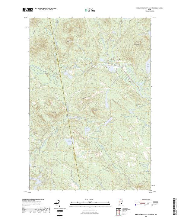 2024 King And Bartlett Mountain2024 Print · USGSThe Maine North Woods at the Somerset and Franklin county line appear here in recent detail, showing a wilderness of timber roads and glacial waters. Researchers can trace the drainages of Kibby Stream or locate remote landmarks like Joe Pokum Pond and Spotted Spruce Mtn.
End of results
Showing maps 1-8 of 8
Top cities near Jim Pond Township
- Carrabassett Valley historical maps
- Eustis historical maps
- Coplin Plantation historical maps
- Wyman Township historical maps
Frequently asked questions
- What are the different types of historical maps available for Jim Pond Township?
- What is the oldest map of Jim Pond Township?
- Where can I purchase historical maps of Jim Pond Township for my home or office?
- Where can I download high-res historical maps of Jim Pond Township?
- Are there historical topographic maps available for Jim Pond Township?
- Is there historical aerial imagery available for Jim Pond Township?
- Where are historical maps of Jim Pond Township sourced from?