2000s (21st Century) Maps of Redington Township, Maine
Explore 25 historic maps of Redington Township from the 2000s (21st Century). These maps offer a rare glimpse into what life looked like during the 2000s — showing old roads, neighborhoods, homes, and landmarks that have changed or disappeared over time.
Whether you're researching your family's past, planning a metal detecting trip, or studying how Redington Township's landscape evolved across the 2000s, these high-resolution maps are a powerful tool for exploring the history of this region.
- Focus on a specific era: All maps on this page are from the 2000s, giving you a focused view of this time period.
- See what’s changed: Compare century-old streets, trails, and buildings to today's modern landscape using overlays and satellite layers.
- Research with precision: Use these maps for genealogy, historical research, land use analysis, or educational projects.
- View, download, or print: Maps are fully viewable online in high resolution, and can be downloaded or printed for your own records.
Start exploring Redington Township's history through authentic maps from the 2000s. This is your window into the past.
Redington Township, ME maps
(25)- 2011 Map of Mount Abraham, 2011 Print
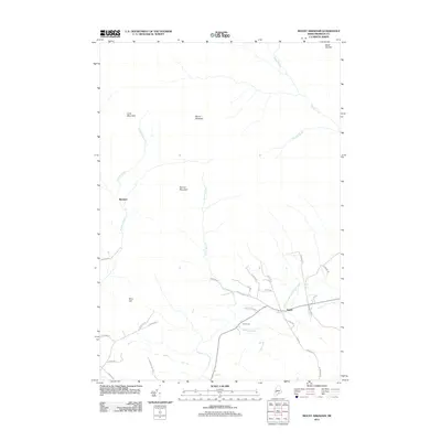 2011 Mount Abraham2011 Print · USGSThe Franklin County highlands are captured here in the early twenty-first century, centered on the towering peaks of the Longfellow Mountains. Local historians can trace the remote settlement of Barnjum, the village of Salem, and old routes like Old Bray Hill Rd.
 - 2011 Map of Saddleback Mountain, 2011 Print
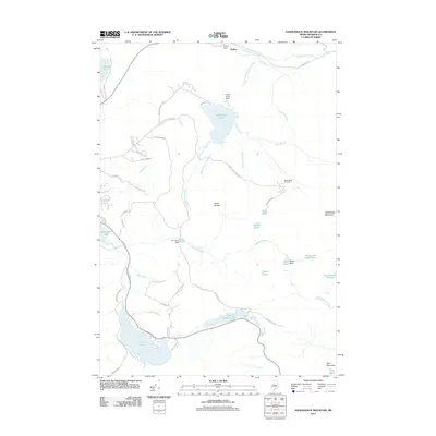 2011 Saddleback Mountain2011 Print · USGSFranklin County's mountain and lake country is captured here during the early 2010s, showcasing a landscape shaped by recreation and water management. Researchers can trace the development of the Saddleback Ski Area and locate specific features like Piazza Rock, Dead River Dam, and Sandy River Ponds.
 - 2011 Map of Redington, 2011 Print
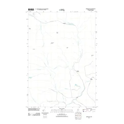 2011 Redington2011 Print · USGSFranklin County's high ridges and river valleys are captured here in the early twenty-first century. Genealogists and local historians can trace the roads and waterways around East Madrid, Perham Junction, and the peaks of Poplar Ridge.
 - 2011 Map of Black Nubble, 2011 Print
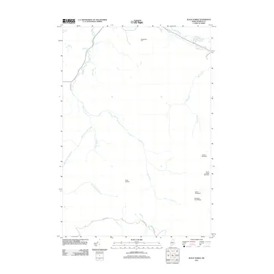 2011 Black Nubble2011 Print · USGSFranklin County's high wilderness peaks are meticulously documented in this survey from the early 2010s. Hikers and local historians can trace the steep ridgelines of Crocker Mountain and Black Nubble or follow the remote paths of Nash Stream Rd.
 - 2011 Map of Quill Hill, 2011 Print
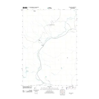 2011 Quill Hill2011 Print · USGSFranklin County's timberlands are shown here in the early twenty-first century, centered on the South Branch Dead River corridor. Researchers can locate the footprint of Langtown Mill and trace family-named sites like Green Farm and Kennebago Settlement.
 - 2014 Map of Saddleback Mountain, 2014 Print
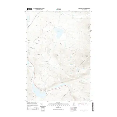 2014 Saddleback Mountain2014 Print · USGSHigh peaks and alpine waters define the Franklin County backcountry during the early twenty-first century. Genealogists and hikers can trace the Appalachian National Scenic Trail past Piazza Rock or locate local burial sites like Oakes Peary Cem and Brooks Cem.
 - 2014 Map of Mount Abraham, 2014 Print
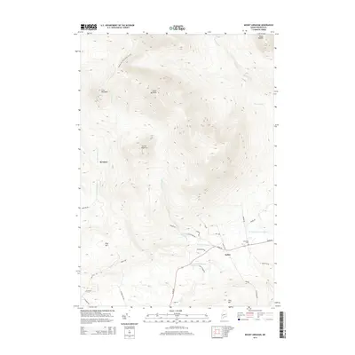 2014 Mount Abraham2014 Print · USGSFranklin County's high ridges and river valleys are captured here in the early twenty-first century as modern conservation and rural life intersect. Researchers can trace the Appalachian National Scenic Trail across the peaks or locate the Mt Abram Cem near the village of Salem.
 - 2014 Map of Redington, 2014 Print
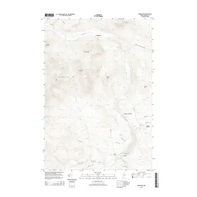 2014 Redington2014 Print · USGSFranklin County's high country is documented here in the early 21st century, showing the intersection of mountain wilderness and rural valley life. You can trace the Appalachian National Scenic Trail across The Horn or locate local landmarks like East Madrid Cem and Perham Junction.
 - 2014 Map of Black Nubble, 2014 Print
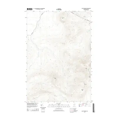 2014 Black Nubble2014 Print · USGSFranklin County's high peaks are showcased in this study of the Maine woods during the early twenty-first century. Hikers and cartographers can trace the Appalachian National Scenic Trail as it traverses the ridges of Crocker Mtn and South Crocker Mtn.
 - 2014 Map of Quill Hill, 2014 Print
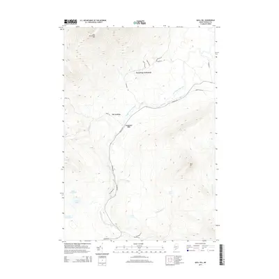 2014 Quill Hill2014 Print · USGSFranklin County's highland timber country is captured here in the early 21st century as a network of river-valley roads and high-elevation peaks. Researchers can trace local industry and transit via Langtown Mill, The Landing, and the path of the Narrow Gauge Rd.
 - 2018 Map of Quill Hill, 2018 Print
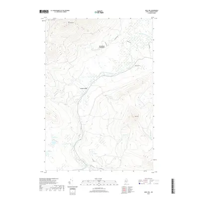 2018 Quill Hill2018 Print · USGSFranklin County's high timber country is shown here in the late twenty-tens, centered on the historic South Branch Dead River valley. Researchers can trace the legacy of Maine's northern woods at Kennebago Settlement, Langtown Mill, and along the winding Narrow Gauge Rd.
 - 2018 Map of Black Nubble, 2018 Print
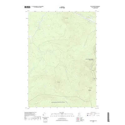 2018 Black Nubble2018 Print · USGSFranklin County's high ridges are captured here in the late 2010s, showing a landscape defined by significant peaks and military borders. Hikers and researchers can trace the Appalachian National Scenic Trail as it passes Crocker Mtn and the remote NAS Portsmouth Redington Township.
 - 2018 Map of Saddleback Mountain, 2018 Print
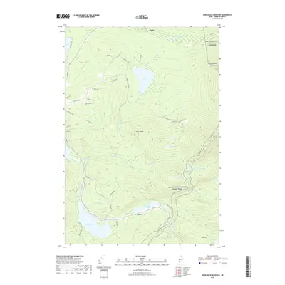 2018 Saddleback Mountain2018 Print · USGSFranklin County's high-altitude lakes and peaks are shown here in the late 2010s. Trace the path of the Appalachian National Scenic Trail past Piazza Rock or locate family sites like the Oakes Peary Cem and Brooks Cem.
 - 2018 Map of Mount Abraham, 2018 Print
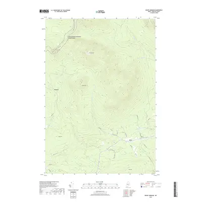 2018 Mount Abraham2018 Print · USGSFranklin County's high ridges and river valleys are captured here in the late twenty-teens as the modern landscape meets deep-rooted Maine history. Trace the path of the Appalachian National Scenic Trail over Mt Abraham or locate the Mount Abram Cem near the banks of the W Br Carrabassett River.
 - 2018 Map of Redington, 2018 Print
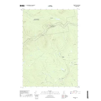 2018 Redington2018 Print · USGSFranklin County's high ridges and river valleys are captured here in the late 2010s. Trace the Appalachian National Scenic Trail across The Horn or locate local landmarks like East Madrid Cem and the settlement of Reeds.
 - 2021 Map of Black Nubble, 2021 Print
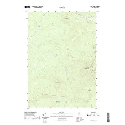 2021 Black Nubble2021 Print · USGSThe high ridges of Franklin County are captured here in the early twenty-first century, featuring a significant stretch of the iconic Appalachian National Scenic Trail. Trace the steep terrain from Crocker Mtn to the remote waters of Nash Stream and the Redington Pond Range.
 - 2021 Map of Quill Hill, 2021 Print
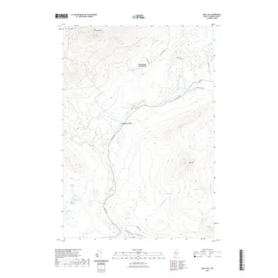 2021 Quill Hill2021 Print · USGSFranklin County's upland interior is captured here in the early twenty-first century, showing a landscape defined by timber history and mountain terrain. Trace the development of Kennebago Settlement and Langtown Mill alongside the banks of the South Branch Dead River.
 - 2021 Map of Mount Abraham, 2021 Print
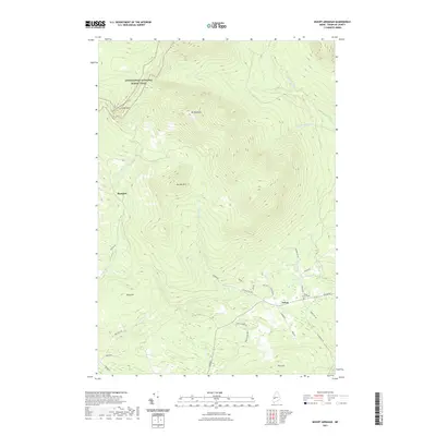 2021 Mount Abraham2021 Print · USGSFranklin County's high ridges and river valleys are captured here in the early twenty-first century. Researchers can trace family sites near Salem, find the Mount Abraham Cem, or follow the Appalachian National Scenic Trail across Mt Abraham.
 - 2021 Map of Saddleback Mountain, 2021 Print
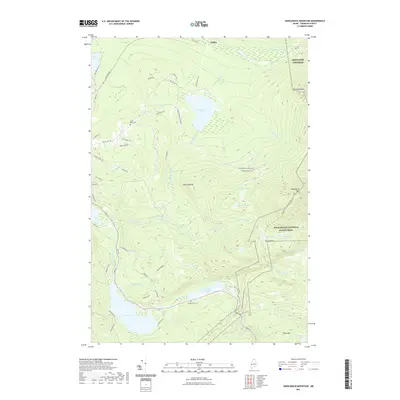 2021 Saddleback Mountain2021 Print · USGSHigh-altitude ridges and glacial ponds define the Franklin County wilderness during the early twenty-first century. Hikers and researchers can trace the Appalachian National Scenic Trail past Piazza Rock or find local history at Oakes Peary Cem and Brooks Cem.
 - 2021 Map of Redington, 2021 Print
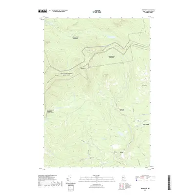 2021 Redington2021 Print · USGSRedington Township and the peaks of the Maine wilderness appear in this contemporary survey of Franklin County's highlands. Researchers can trace the path of the Appalachian National Scenic Trail and locate family sites near Reeds Mill Cem or the settlement at East Madrid.
 - 2024 Map of Quill Hill, 2024 Print
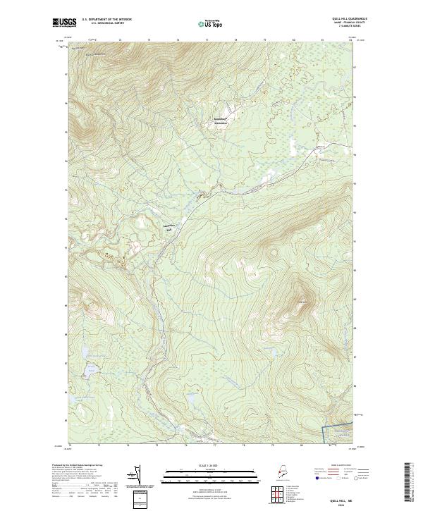 2024 Quill Hill2024 Print · USGSFranklin County's upland interior is shown here in the 2020s, centered on the historic Kennebago Settlement. Genealogists and local historians can trace the old routes around Langtown Mill or follow the path of Narrow Gauge Rd through the river valleys.
 - 2024 Map of Mount Abraham, 2024 Print
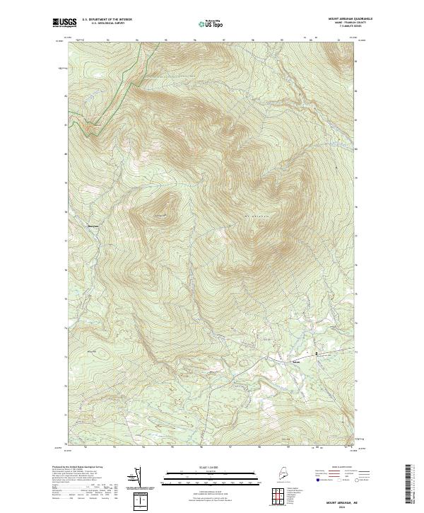 2024 Mount Abraham2024 Print · USGSThe high Franklin County peaks and the Appalachian National Scenic Trail define this landscape in the early twenty-first century. Genealogists and hikers can trace the rural roads around Salem, locate the Mount Abram Cem, and explore the slopes of Mt Abraham.
 - 2024 Map of Black Nubble, 2024 Print
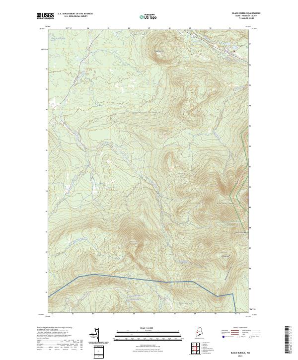 2024 Black Nubble2024 Print · USGSFranklin County's high-elevation wilderness is captured here in the early twenty-first century, showing the intersection of major peaks and conservation corridors. Hikers and researchers can trace the Appalachian National Scenic Trail as it passes Crocker Mtn and Mt Redington.
 - 2024 Map of Redington, 2024 Print
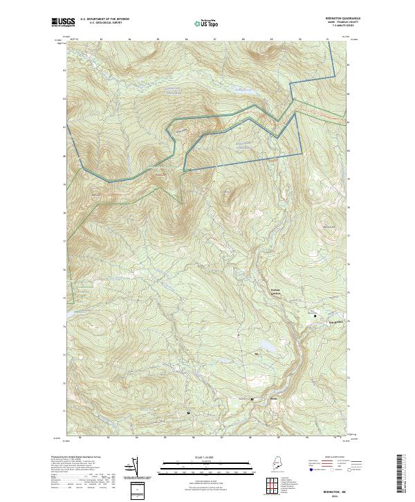 2024 Redington2024 Print · USGSFranklin County in the mid-2020s remains a landscape of high mountain ridges and secluded settlements. Genealogists and researchers can trace local roots at East Madrid Cem or follow the historic mountain paths through Perham Junction and along Railroad Rd.
 - 2024 Map of Saddleback Mountain, 2024 Print
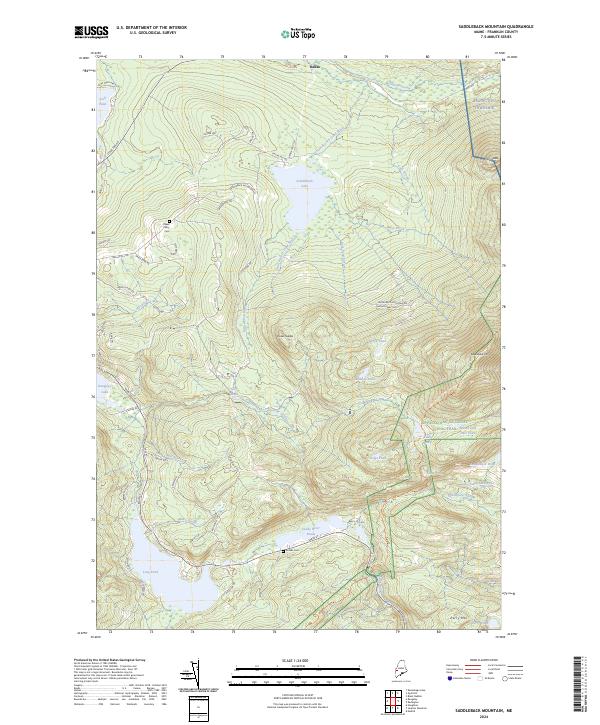 2024 Saddleback Mountain2024 Print · USGSThe high wilderness of western Maine is captured here during the 2020s, showing the intersection of recreation and rugged terrain. Researchers can find ridgeline trails like the Appalachian Trail and historic burial sites like Oakes Peary Cem.
End of results
Showing maps 1-25 of 25
Top cities near Redington Township
- Rangeley historical maps
- Strong historical maps
- Kingfield historical maps
- Phillips historical maps
- Carrabassett Valley historical maps
- Eustis historical maps
See more
Frequently asked questions
- What are the different types of historical maps available for Redington Township?
- What is the oldest map of Redington Township?
- Where can I purchase historical maps of Redington Township for my home or office?
- Where can I download high-res historical maps of Redington Township?
- Are there historical topographic maps available for Redington Township?
- Is there historical aerial imagery available for Redington Township?
- Where are historical maps of Redington Township sourced from?