2010s Maps of Cranberry Isles, Maine
Explore 15 historic maps of Cranberry Isles from the 2010s. These maps offer a rare glimpse into what life looked like during the 2010s — showing old roads, neighborhoods, homes, and landmarks that have changed or disappeared over time.
Whether you're researching your family's past, planning a metal detecting trip, or studying how Cranberry Isles's landscape evolved across the 2010s, these high-resolution maps are a powerful tool for exploring the history of this region.
- Focus on a specific era: All maps on this page are from the 2010s, giving you a focused view of this time period.
- See what’s changed: Compare century-old streets, trails, and buildings to today's modern landscape using overlays and satellite layers.
- Research with precision: Use these maps for genealogy, historical research, land use analysis, or educational projects.
- View, download, or print: Maps are fully viewable online in high resolution, and can be downloaded or printed for your own records.
Start exploring Cranberry Isles's history through authentic maps from the 2010s. This is your window into the past.
Cranberry Isles, ME maps
(15)- 2011 Map of Baker Island, 2011 Print
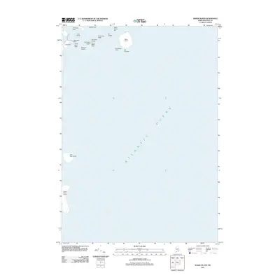 2011 Baker Island2011 Print · USGSCoastal Hancock County is documented here in the early twenty-first century, showing the isolated islands and granite ledges off the Maine coast. Marine historians can locate navigation hazards and island landmarks like Baker Island, Great Duck Island, and The Thumper.
 - 2011 Map of Seal Harbor, 2011 Print
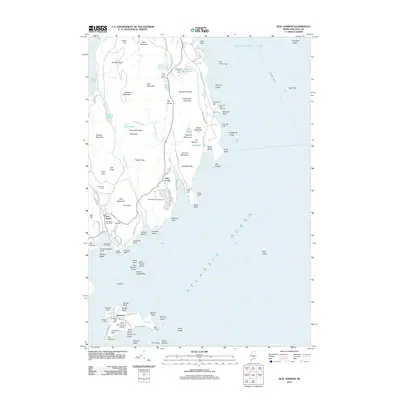 2011 Seal Harbor2011 Print · USGSMount Desert Island and the Cranberry Isles are captured here at the start of the 2010s, showcasing the coastal villages and protected parklands. Researchers can trace the waterfronts of Seal Harbor and Islesford, or locate specific sites like Sieur de Monts Spring and the Seal Harbor Town Wharf.
 - 2011 Map of Schoodic Head, 2011 Print
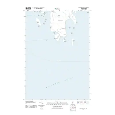 2011 Schoodic Head2011 Print · USGSThe granite coast of Hancock County is captured here in the early twenty-first century, showcasing the rugged marine borders of Acadia National Park. Trace the coastline to find Winter Harbor Light, the high point of Schoodic Head, and landmarks like Ravens Nest.
 - 2011 Map of Bass Harbor, 2011 Print
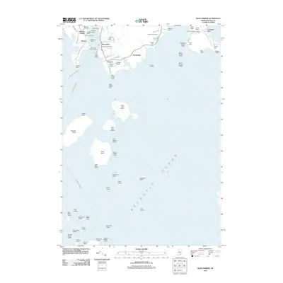 2011 Bass Harbor2011 Print · USGSCoastal Hancock County comes into sharp focus during the early twenty-first century, showing the maritime heart of Mount Desert Island. Researchers can trace local lineage at Bernard Cemetery or explore the waterfront infrastructure at the Bass Harbor Public Landing and Bass Harbor Head.
 - 2011 Map of Southwest Harbor, 2011 Print
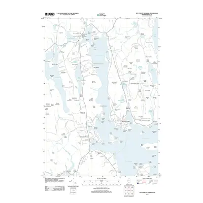 2011 Southwest Harbor2011 Print · USGSMount Desert Island at the start of the 2010s shows a sophisticated network of harbor towns and maritime hubs centered on Somes Sound. Researchers can trace the legacy of local families through Kimball Cemetery, the historic docks at Beals Wharf, and the established post offices of Somesville and Manset.
 - 2014 Map of Southwest Harbor, 2014 Print
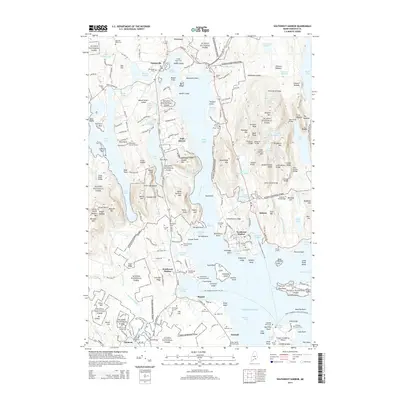 2014 Southwest Harbor2014 Print · USGSMount Desert Island at the start of the twenty-first century reveals a intricate landscape of maritime villages and protected parkland. Researchers can trace historic family lineages through the Old Burying Ground and Richardson Burying Ground or locate the industrial legacy of Hall Quarry.
 - 2014 Map of Seal Harbor, 2014 Print
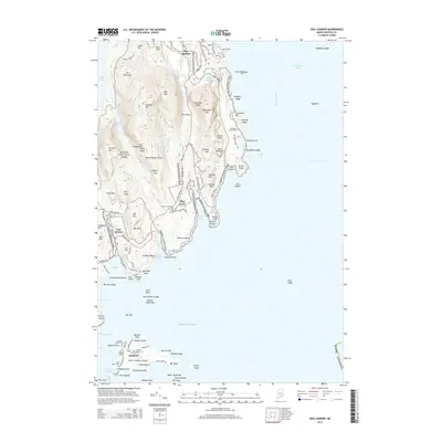 2014 Seal Harbor2014 Print · USGSThe granite peaks and rocky shorelines of Mount Desert Island are shown here in the mid-2010s, capturing the balance between preserved parkland and coastal villages. Genealogists and historians can locate family sites at Seal Harbor Cem or trace the maritime routes around Islesford and Sutton Island.
 - 2014 Map of Schoodic Head, 2014 Print
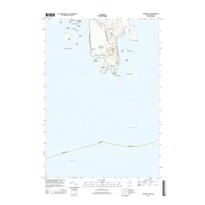 2014 Schoodic Head2014 Print · USGSThe Schoodic Peninsula of Hancock County is captured here in the early 21st century as it serves as a coastal anchor for the regional park system. Trace the rugged shoreline from Schoodic Point to Grindstone Neck, locating landmarks like Ravens Nest and Buck Cove Mtn.
 - 2014 Map of Baker Island, 2014 Print
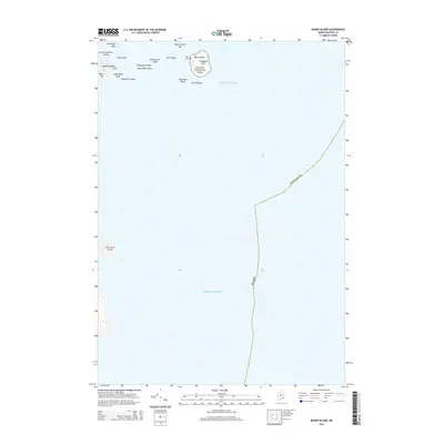 2014 Baker Island2014 Print · USGSThe Cranberry Isles and the Atlantic approaches to Acadia National Park are shown here in the mid-2010s. Researchers can locate the Gilley Cem and trace the rocky shoreline from Deadman Point to the isolated Little Duck Island.
 - 2014 Map of Bass Harbor, 2014 Print
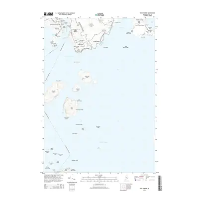 2014 Bass Harbor2014 Print · USGSMount Desert Island and its surrounding archipelagos are captured here in the early twenty-first century. Genealogists can trace family heritage through coastal burial sites like Dolliver Family Burial Ground and Bunker Cem on Great Cranberry Island.
 - 2018 Map of Schoodic Head, 2018 Print
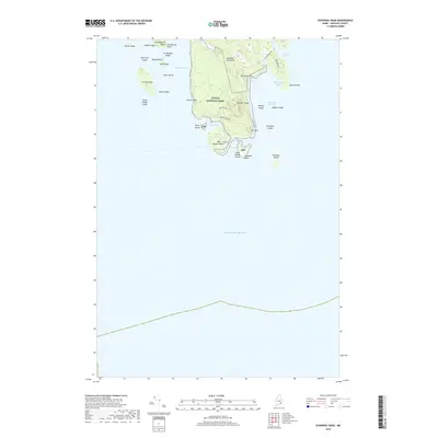 2018 Schoodic Head2018 Print · USGSCoastal Hancock County is captured here in the late twenty-teens, showing the dramatic granite shores and interior peaks of the Schoodic Peninsula. Researchers can trace the park roads and coastal landmarks from Ravens Nest down to the rocky tip of Schoodic Point.
 - 2018 Map of Bass Harbor, 2018 Print
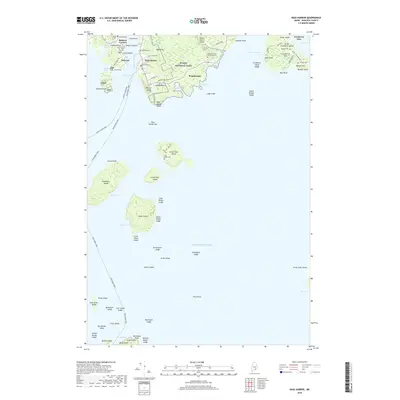 2018 Bass Harbor2018 Print · USGSMount Desert Island and the Cranberry Isles appear in this contemporary coastal study, detailing the maritime life and isolated island communities of Hancock County. Researchers can trace historic family burial sites like Dolliver Family Burial Ground and Stanley Cem, or locate landmarks such as Bass Harbor Head and the wild reaches of Big Heath.
 - 2018 Map of Southwest Harbor, 2018 Print
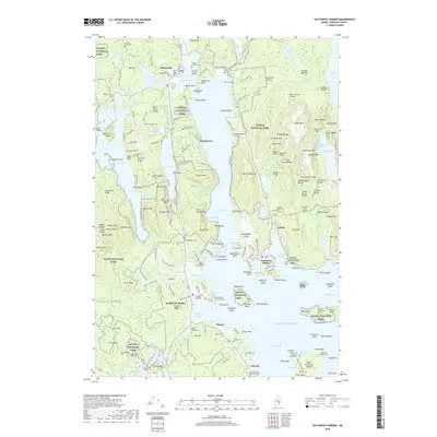 2018 Southwest Harbor2018 Print · USGSMount Desert Island and its coastal villages are shown in high detail during the twenty-first century, centered on the glacial fjord of Somes Sound. Genealogists can trace early inhabitants at the Old Burying Ground, Kenison Cem, and Richardson Burying Ground.
 - 2018 Map of Seal Harbor, 2018 Print
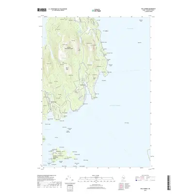 2018 Seal Harbor2018 Print · USGSMount Desert Island and the Cranberry Isles appear here during the late twenty-teens, showing the intricate balance of park land and coastal villages. Researchers can trace family sites like Stanley Grave or navigate the landmarks of Islesford and Seal Harbor.
 - 2018 Map of Baker Island, 2018 Print
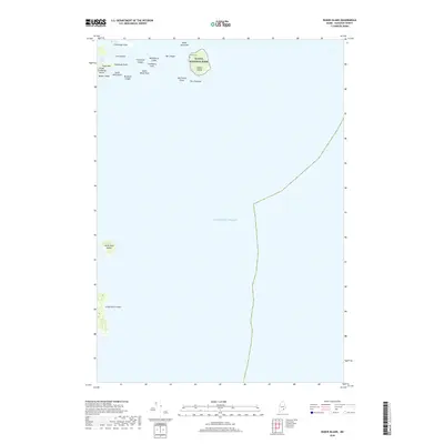 2018 Baker Island2018 Print · USGSCoastal Maine's outer archipelago is captured in this recent survey of the sea-swept Cranberry Isles. Maritime researchers and genealogists can locate Gilley Cem on Baker Island or trace the treacherous coastline from Deadman Point to the isolated Great Duck Island.
End of results
Showing maps 1-15 of 15
Top cities near Cranberry Isles
- Bar Harbor historical maps
- Hancock historical maps
- Mount Desert historical maps
- Southwest Harbor historical maps
- Lamoine historical maps
- Gouldsboro historical maps
See more
Top neighborhoods of Cranberry Isles
Frequently asked questions
- What are the different types of historical maps available for Cranberry Isles?
- What is the oldest map of Cranberry Isles?
- Where can I purchase historical maps of Cranberry Isles for my home or office?
- Where can I download high-res historical maps of Cranberry Isles?
- Are there historical topographic maps available for Cranberry Isles?
- Is there historical aerial imagery available for Cranberry Isles?
- Where are historical maps of Cranberry Isles sourced from?