2010s Maps of Ellsworth, Maine
Explore 21 historic maps of Ellsworth from the 2010s. These maps offer a rare glimpse into what life looked like during the 2010s — showing old roads, neighborhoods, homes, and landmarks that have changed or disappeared over time.
Whether you're researching your family's past, planning a metal detecting trip, or studying how Ellsworth's landscape evolved across the 2010s, these high-resolution maps are a powerful tool for exploring the history of this region.
- Focus on a specific era: All maps on this page are from the 2010s, giving you a focused view of this time period.
- See what’s changed: Compare century-old streets, trails, and buildings to today's modern landscape using overlays and satellite layers.
- Research with precision: Use these maps for genealogy, historical research, land use analysis, or educational projects.
- View, download, or print: Maps are fully viewable online in high resolution, and can be downloaded or printed for your own records.
Start exploring Ellsworth's history through authentic maps from the 2010s. This is your window into the past.
Ellsworth, ME maps
(21)- 2011 Map of Brewer Lake, 2011 Print
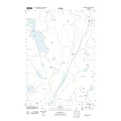 2011 Brewer Lake2011 Print · USGSCoastal Maine's interior woodlands and glacial ponds are documented here in the early twenty-first century. Researchers can locate long-standing community landmarks like the Fields Pond Settlement or trace lineage at the Copeland Hill Cemetery and Union Cemetery.
 - 2011 Map of Green Lake, 2011 Print
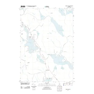 2011 Green Lake2011 Print · USGSHancock County’s lakelands are shown here in the early 2000s, centered on the historic resort community of Lucerne-in-Maine. Genealogists and researchers can locate Eastern Cemetery, trace old routes like Old Route 1A, and find local landmarks such as Camp Jordan.
 - 2011 Map of Newbury Neck, 2011 Print
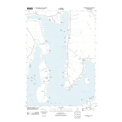 2011 Newbury Neck2011 Print · USGSCoastal Hancock County at the turn of the decade is defined by the long peninsula of Newbury Neck and its surrounding bays. Researchers can trace family history through numerous burial sites like Whittemore Cemetery and Bayview Cemetery near South Surry.
 - 2011 Map of Orland, 2011 Print
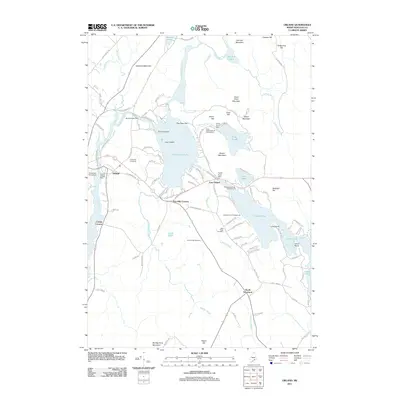 2011 Orland2011 Print · USGSCoastal Maine's interior comes into focus here during the early twenty-first century, showing a landscape of interconnected lakes and mountain ridges. Genealogists can locate family sites near Evergreen Cemetery or trace the early industrial infrastructure of the Orland Village Dam and Alamoosook Dam.
 - 2011 Map of Ellsworth, 2011 Print
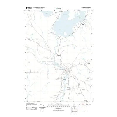 2011 Ellsworth2011 Print · USGSEllsworth and the Union River valley appear here in detail during the early 21st century. Genealogists and historians can locate several family cemeteries, including Old Burying Ground and Remick Cemetery, along with the Washington Junction rail site.
 - 2011 Map of Branch Lake, 2011 Print
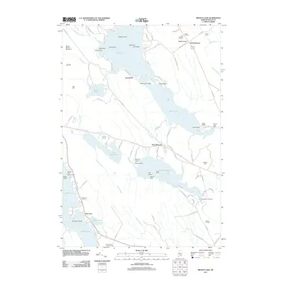 2011 Branch Lake2011 Print · USGSCoastal Hancock County in the early twenty-first century reveals a landscape of interconnected ponds and historic cemeteries. Researchers can trace local lineages at Nicolin Cemetery or Hillside Cemetery and locate former rail infrastructure at Nicolin Siding near Hurds Corner.
 - 2011 Map of Beech Hill Pond, 2011 Print
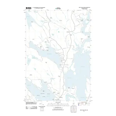 2011 Beech Hill Pond2011 Print · USGSHancock County’s inland waters and quiet settlements are shown here in the early twenty-first century as the landscape transitioned toward seasonal recreation. You can trace family plots at Pyles Cemetery or locate old water access points like Town Landing and Perry Landing.
 - 2014 Map of Green Lake, 2014 Print
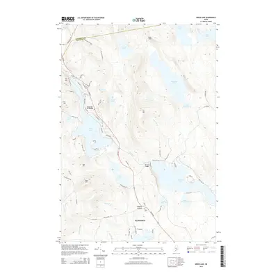 2014 Green Lake2014 Print · USGSCoastal Hancock County is captured here in the early twenty-first century, showcasing the lakefront communities and granite heights of the Downeast interior. Researchers can locate family sites near Wilson Corner or trace old wood roads around Lucerne-in-Maine and Phillips Lake.
 - 2014 Map of Ellsworth, 2014 Print
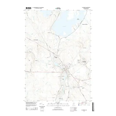 2014 Ellsworth2014 Print · USGSCoastal Maine's commercial and industrial character is centered on the river at the start of the twenty-first century. Genealogists can locate several historic burial sites like Old Burying Ground Cem and Woodbine Cem, while following the rail history at Washington Junction.
 - 2014 Map of Newbury Neck, 2014 Print
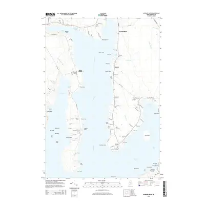 2014 Newbury Neck2014 Print · USGSCoastal Hancock County life at the start of the 21st century centers on the long reach of Newbury Neck and the waters of Western Bay. Genealogists can trace family heritage through numerous burial grounds like Haskell Cem and the Oak Point Cemeteries.
 - 2014 Map of Beech Hill Pond, 2014 Print
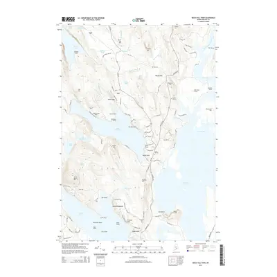 2014 Beech Hill Pond2014 Print · USGSHancock County's lake-strewn landscape is captured here in the early twenty-first century, showing the established communities and shoreline developments near the Union River. Genealogists and local researchers can trace family landmarks and burial sites like Tannery Hill Cem and Beech Hill Cem.
 - 2014 Map of Branch Lake, 2014 Print
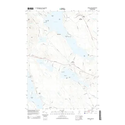 2014 Branch Lake2014 Print · USGSCoastal Hancock County's lake-rich interior is captured here during the mid-2010s, showing the developed shorelines and rural crossroads of the Ellsworth area. Genealogists can locate several local burial sites including Nicolin Cem and Birch Grove Cem near West Ellsworth.
 - 2014 Map of Orland, 2014 Print
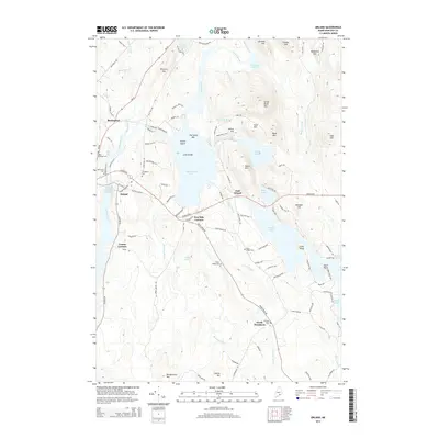 2014 Orland2014 Print · USGSCoastal Maine's network of lakes and granite peaks comes into focus in this modern era, centered on the historic village of Orland. Genealogists and local historians can locate several family cemeteries, including Evergreen Cem, and trace old routes through Five Mile Corners and Cranes Corners.
 - 2014 Map of Brewer Lake, 2014 Print
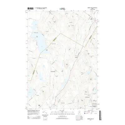 2014 Brewer Lake2014 Print · USGSThe borderlands of Penobscot and Hancock counties are shown here in the mid-2010s, defined by a chain of glacial ponds and granite ridges. Researchers can trace local lineage through sites like Copeland Hill Cemetery or explore the small settlements of East Bucksport and Winkumpaugh Corners.
 - 2018 Map of Orland, 2018 Print
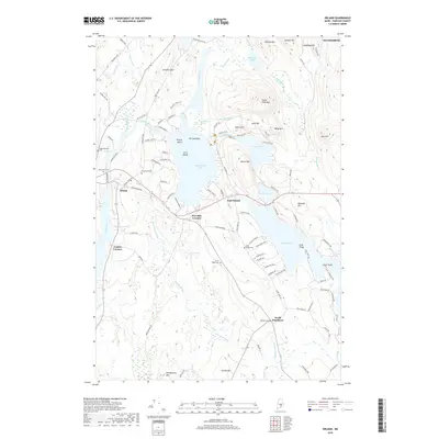 2018 Orland2018 Print · USGSHancock County’s lakelands and river valleys are captured here in the late twenty-teens, showing the enduring rural character of the Maine woods. Genealogists can locate several family burial sites like Oak Grove Cem or Hillside Cem while tracing the settlements at East Orland and Five Mile Corners.
 - 2018 Map of Beech Hill Pond, 2018 Print
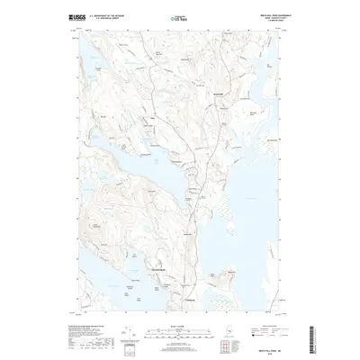 2018 Beech Hill Pond2018 Print · USGSHancock County's inland woods and waters are shown in detail during the late twenty-teens, capturing the rural character of the Maine highlands. Researchers can trace family history through local landmarks like Pyles Cem, Otis, and Tannery Hill Cem along the shores of Beech Hill Pond.
 - 2018 Map of Branch Lake, 2018 Print
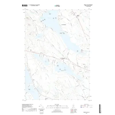 2018 Branch Lake2018 Print · USGSEllsworth and its surrounding lakes are shown here in recent detail, capturing the area's mix of lakeside communities and high timberlands. Genealogists can trace numerous local burial sites like Birch Grove Cem and Hillside Cem tucked along the shorelines of Branch Lake.
 - 2018 Map of Newbury Neck, 2018 Print
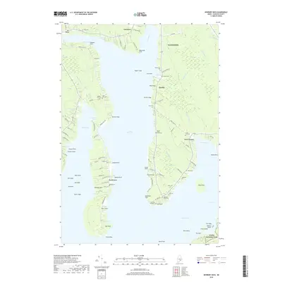 2018 Newbury Neck2018 Print · USGSCoastal Hancock County remains defined by its deep bays and family-held lands in the years following the millennium. Genealogists and local historians can locate specific burial sites like Oak Point Cemeteries and trace the shoreline from Carrying Place down to High Head.
 - 2018 Map of Green Lake, 2018 Print
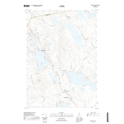 2018 Green Lake2018 Print · USGSCoastal Maine's pond-studded interior comes into focus during the late twenty-teens, showing the established communities of Ellsworth and Lucerne-in-Maine. Genealogists can locate family sites at Eastern Cem or trace old routes to Phillips Lake and Bald Mtn.
 - 2018 Map of Brewer Lake, 2018 Print
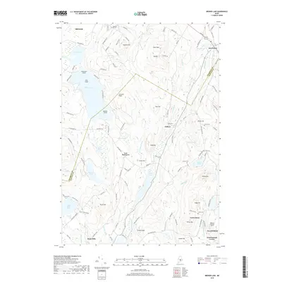 2018 Brewer Lake2018 Print · USGSInland Maine at the end of the 2010s shows a landscape of glacial ridges and quiet water bodies between Brewer and Ellsworth. Genealogists can locate several family-named burial sites like Moulton Cem and Parker Cem near landmarks like Blood Mtn.
 - 2018 Map of Ellsworth, 2018 Print
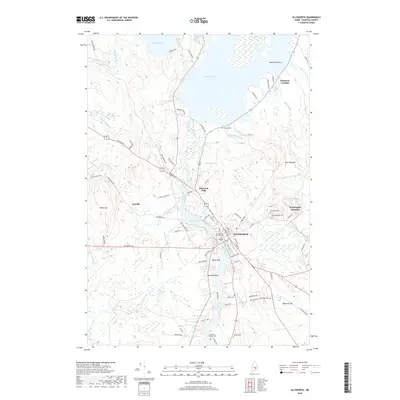 2018 Ellsworth2018 Print · USGSHancock County in the late 2010s shows a landscape deeply tied to the Union River corridor and its historic waterpower sites. Genealogists and historians can trace family locations through numerous sites like the Old Burying Ground Cem and the rail-linked Washington Junction.
End of results
Showing maps 1-21 of 21
Top cities near Ellsworth
- Bangor historical maps
- Brewer historical maps
- Bar Harbor historical maps
- Bucksport historical maps
- Orrington historical maps
- Holden historical maps
See more
Top neighborhoods of Ellsworth
- North Ellsworth historical maps
- Wilson Corner historical maps
- Sand Beach historical maps
- Lakewood historical maps
- West Ellsworth historical maps
- Ellsworth Falls historical maps
See more
Frequently asked questions
- What are the different types of historical maps available for Ellsworth?
- What is the oldest map of Ellsworth?
- Where can I purchase historical maps of Ellsworth for my home or office?
- Where can I download high-res historical maps of Ellsworth?
- Are there historical topographic maps available for Ellsworth?
- Is there historical aerial imagery available for Ellsworth?
- Where are historical maps of Ellsworth sourced from?