2020s Maps of Ellsworth, Maine
Explore 14 historic maps of Ellsworth from the 2020s. These maps offer a rare glimpse into what life looked like during the 2020s — showing old roads, neighborhoods, homes, and landmarks that have changed or disappeared over time.
Whether you're researching your family's past, planning a metal detecting trip, or studying how Ellsworth's landscape evolved across the 2020s, these high-resolution maps are a powerful tool for exploring the history of this region.
- Focus on a specific era: All maps on this page are from the 2020s, giving you a focused view of this time period.
- See what’s changed: Compare century-old streets, trails, and buildings to today's modern landscape using overlays and satellite layers.
- Research with precision: Use these maps for genealogy, historical research, land use analysis, or educational projects.
- View, download, or print: Maps are fully viewable online in high resolution, and can be downloaded or printed for your own records.
Start exploring Ellsworth's history through authentic maps from the 2020s. This is your window into the past.
Ellsworth, ME maps
(14)- 2021 Map of Branch Lake, 2021 Print
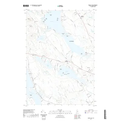 2021 Branch Lake2021 Print · USGSCovers Ellsworth, including Blue Hill, Orland, and other nearby areas
 - 2021 Map of Newbury Neck, 2021 Print
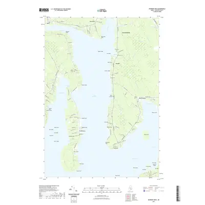 2021 Newbury Neck2021 Print · USGSCovers Ellsworth, including Bar Harbor, Blue Hill, and other nearby areas
 - 2021 Map of Green Lake, 2021 Print
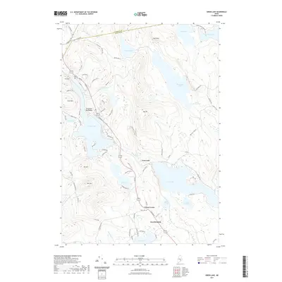 2021 Green Lake2021 Print · USGSCovers Ellsworth, including Holden, Orland, and other nearby areas
 - 2021 Map of Brewer Lake, 2021 Print
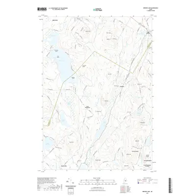 2021 Brewer Lake2021 Print · USGSCovers Ellsworth, including Brewer, Bucksport, and other nearby areas
 - 2021 Map of Orland, 2021 Print
 2021 Orland2021 Print · USGSCovers Ellsworth, including Bucksport, Blue Hill, and other nearby areas
 - 2021 Map of Ellsworth, 2021 Print
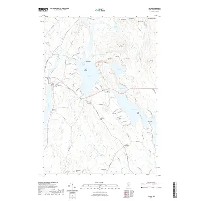
 2021 Ellsworth2021 Print · USGSCovers Ellsworth, including Hancock, Lamoine, and other nearby areas
 - 2021 Map of Beech Hill Pond, 2021 Print
 2021 Beech Hill Pond2021 Print · USGSCovers Ellsworth, including Otis, Mariaville, and other nearby areas
 - 2024 Map of Orland, 2024 Print
 2024 Orland2024 Print · USGSHancock County’s inland waters and crossroads come into focus during this modern era of coastal Maine history. Local researchers can trace family lines through numerous rural burial sites like Front Ridge Cem and Back Ridge Cem, or locate the historic Craig Brook National Fish Hatchery.
 - 2024 Map of Green Lake, 2024 Print
 2024 Green Lake2024 Print · USGSThe lake country of Hancock County is captured here in recent detail, showing a landscape defined by water and wood. Genealogists and hikers can trace the areas around Lucerne-in-Maine and Wilson Corner, or locate landmarks like Wilson Cem and Eagle Bluff.
 - 2024 Map of Newbury Neck, 2024 Print
 2024 Newbury Neck2024 Print · USGSCoastal Maine life and geography are captured here in this recent survey of the peninsula between Surry and Trenton. Genealogists and local historians can trace family land and heritage through numerous burial sites like Village Cem, Haynes Cem, and Alley Cem.
 - 2024 Map of Ellsworth, 2024 Print
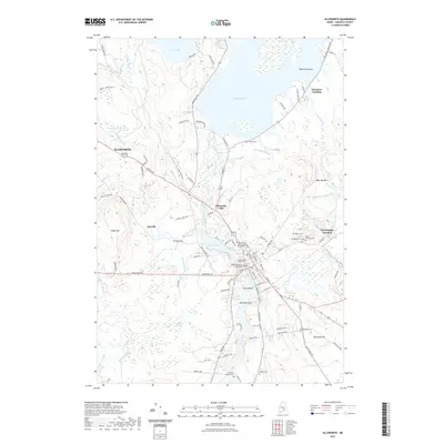
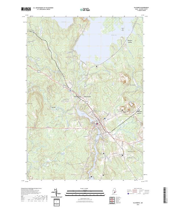 2024 Ellsworth2024 Print · USGSCoastal Maine at the height of its modern development reveals a intricate landscape of river-fed towns and historic burial sites. Genealogists and historians can trace family roots at Old Burying Ground Cem and explore the historic rail and road hub at Washington Junction.
 - 2024 Map of Brewer Lake, 2024 Print
 2024 Brewer Lake2024 Print · USGSCoastal Maine's interior comes into focus here, showing the wooded hills and numerous ponds at the Hancock and Penobscot county line. Genealogists can locate family landmarks like Hill Rest Cem, Moulton Cem, and the quiet crossroads of Winkumpaugh Corners.
 - 2024 Map of Beech Hill Pond, 2024 Print
 2024 Beech Hill Pond2024 Print · USGSCentral Hancock County comes into focus in this recent survey, showcasing the rural landscapes between the city of ELLSWORTH and Mariaville. Genealogists and researchers can trace local family lineages through Evergreen Cem, Beech Hill Cem, and the Green Lake National Fish Hatchery.
 - 2024 Map of Branch Lake, 2024 Print
 2024 Branch Lake2024 Print · USGSHancock County, Maine, is shown in the mid-2020s, centering on the expansive Branch Lake and its surrounding hilltops and coves. Researchers can trace local genealogy through numerous burial sites like Birch Grove Cem and Cunningham Ridge Cem or explore landmarks like Flying Moose Mtn.
End of results
Showing maps 1-14 of 14
Top cities near Ellsworth
- Bangor historical maps
- Brewer historical maps
- Bar Harbor historical maps
- Bucksport historical maps
- Orrington historical maps
- Holden historical maps
See more
Top neighborhoods of Ellsworth
- North Ellsworth historical maps
- Wilson Corner historical maps
- Sand Beach historical maps
- Lakewood historical maps
- West Ellsworth historical maps
- Ellsworth Falls historical maps
See more
Frequently asked questions
- What are the different types of historical maps available for Ellsworth?
- What is the oldest map of Ellsworth?
- Where can I purchase historical maps of Ellsworth for my home or office?
- Where can I download high-res historical maps of Ellsworth?
- Are there historical topographic maps available for Ellsworth?
- Is there historical aerial imagery available for Ellsworth?
- Where are historical maps of Ellsworth sourced from?