2000s (21st Century) Maps of Mariaville, Maine
Explore 25 historic maps of Mariaville from the 2000s (21st Century). These maps offer a rare glimpse into what life looked like during the 2000s — showing old roads, neighborhoods, homes, and landmarks that have changed or disappeared over time.
Whether you're researching your family's past, planning a metal detecting trip, or studying how Mariaville's landscape evolved across the 2000s, these high-resolution maps are a powerful tool for exploring the history of this region.
- Focus on a specific era: All maps on this page are from the 2000s, giving you a focused view of this time period.
- See what’s changed: Compare century-old streets, trails, and buildings to today's modern landscape using overlays and satellite layers.
- Research with precision: Use these maps for genealogy, historical research, land use analysis, or educational projects.
- View, download, or print: Maps are fully viewable online in high resolution, and can be downloaded or printed for your own records.
Start exploring Mariaville's history through authentic maps from the 2000s. This is your window into the past.
Mariaville, ME maps
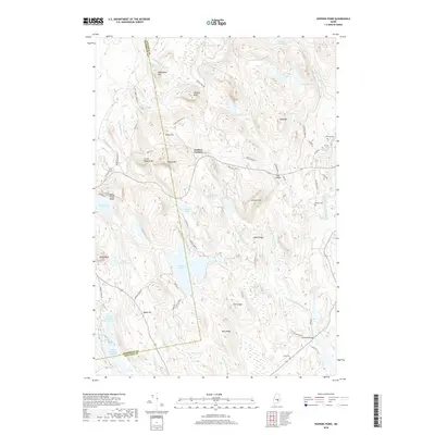
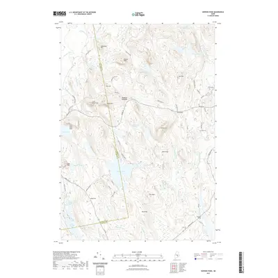
(25)- 2011 Map of Eastbrook, 2011 Print
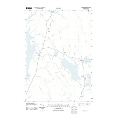 2011 Eastbrook2011 Print · USGSCovers Mariaville, including Franklin, Eastbrook, and other nearby areas
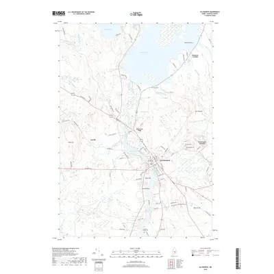
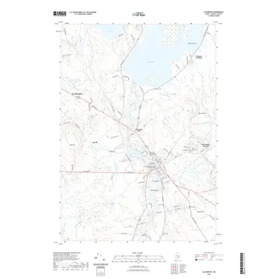
 - 2011 Map of Ellsworth, 2011 Print
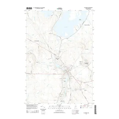
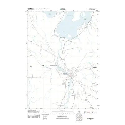 2011 Ellsworth2011 Print · USGSCovers Mariaville, including Ellsworth, Hancock, and other nearby areas
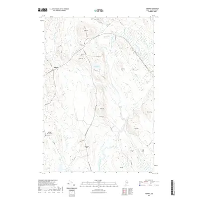
 - 2011 Map of Amherst, 2011 Print
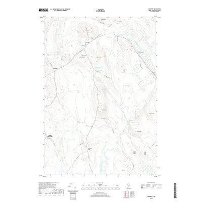
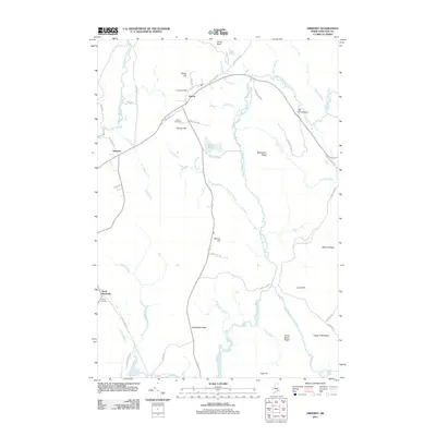 2011 Amherst2011 Print · USGSCovers Mariaville, including Waltham, Amherst, and other nearby areas
 - 2011 Map of Beech Hill Pond, 2011 Print
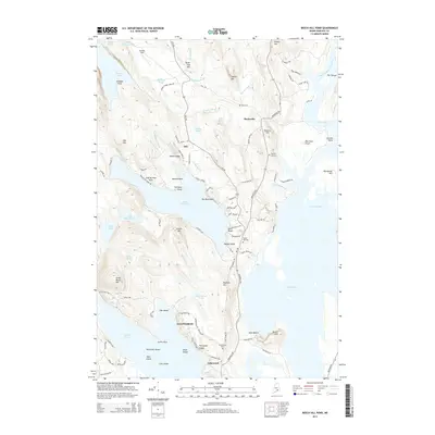
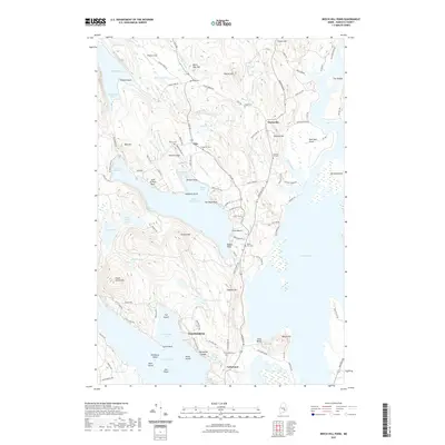
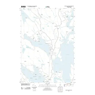 2011 Beech Hill Pond2011 Print · USGSCovers Mariaville, including Ellsworth, Otis, and other nearby areas
 - 2011 Map of Hopkins Pond, 2011 Print
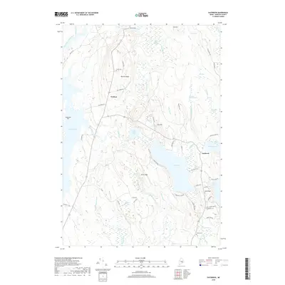
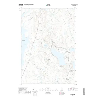
 2011 Hopkins Pond2011 Print · USGSCovers Mariaville, including Bradley, Clifton, and other nearby areas
 - 2014 Map of Amherst, 2014 Print
 2014 Amherst2014 Print · USGSCovers Mariaville, including Waltham, Amherst, and other nearby areas
 - 2014 Map of Eastbrook, 2014 Print
 2014 Eastbrook2014 Print · USGSCovers Mariaville, including Franklin, Eastbrook, and other nearby areas
 - 2014 Map of Hopkins Pond, 2014 Print
 2014 Hopkins Pond2014 Print · USGSCovers Mariaville, including Bradley, Clifton, and other nearby areas
 - 2014 Map of Ellsworth, 2014 Print
 2014 Ellsworth2014 Print · USGSCovers Mariaville, including Ellsworth, Hancock, and other nearby areas
 - 2014 Map of Beech Hill Pond, 2014 Print
 2014 Beech Hill Pond2014 Print · USGSCovers Mariaville, including Ellsworth, Otis, and other nearby areas
 - 2018 Map of Amherst, 2018 Print
 2018 Amherst2018 Print · USGSCovers Mariaville, including Waltham, Amherst, and other nearby areas
 - 2018 Map of Eastbrook, 2018 Print
 2018 Eastbrook2018 Print · USGSCovers Mariaville, including Franklin, Eastbrook, and other nearby areas
 - 2018 Map of Beech Hill Pond, 2018 Print
 2018 Beech Hill Pond2018 Print · USGSCovers Mariaville, including Ellsworth, Otis, and other nearby areas
 - 2018 Map of Hopkins Pond, 2018 Print
 2018 Hopkins Pond2018 Print · USGSCovers Mariaville, including Bradley, Clifton, and other nearby areas
 - 2018 Map of Ellsworth, 2018 Print
 2018 Ellsworth2018 Print · USGSCovers Mariaville, including Ellsworth, Hancock, and other nearby areas
 - 2021 Map of Eastbrook, 2021 Print
 2021 Eastbrook2021 Print · USGSCovers Mariaville, including Franklin, Eastbrook, and other nearby areas
 - 2021 Map of Amherst, 2021 Print
 2021 Amherst2021 Print · USGSCovers Mariaville, including Waltham, Amherst, and other nearby areas
 - 2021 Map of Hopkins Pond, 2021 Print
 2021 Hopkins Pond2021 Print · USGSCovers Mariaville, including Bradley, Clifton, and other nearby areas
 - 2021 Map of Ellsworth, 2021 Print
 2021 Ellsworth2021 Print · USGSCovers Mariaville, including Ellsworth, Hancock, and other nearby areas
 - 2021 Map of Beech Hill Pond, 2021 Print
 2021 Beech Hill Pond2021 Print · USGSCovers Mariaville, including Ellsworth, Otis, and other nearby areas
 - 2024 Map of Hopkins Pond, 2024 Print
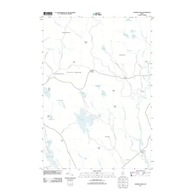
 2024 Hopkins Pond2024 Print · USGSThe rural interior of Hancock County is mapped here in the modern era, showing the intersection of the Airline Rd and the West Branch Union River. Researchers can locate historic burial grounds like Amherst Cem and landmarks such as Chick Hill.
 - 2024 Map of Amherst, 2024 Print
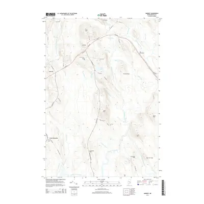
 2024 Amherst2024 Print · USGSHancock County’s inland river valleys and ridges are captured in detail in this modern survey of the Maine woods. Genealogists and local historians can locate early burial grounds like Old Settlers Cem and trace the paths of The Whaleback and Giles Pond.
 - 2024 Map of Eastbrook, 2024 Print
 2024 Eastbrook2024 Print · USGSHancock County settlement and the intricate marshlands of the Maine interior are captured here in the modern era. Genealogists and local historians can locate several family burial sites including Oxbow Cem and Williams Cem, or trace the rural roads around Waltham and the Eastbrook Baptist Church.
 - 2024 Map of Ellsworth, 2024 Print
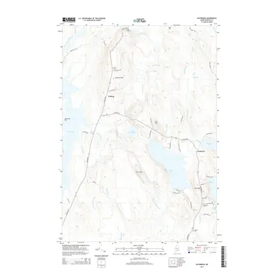
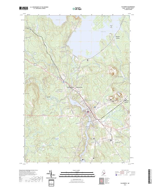 2024 Ellsworth2024 Print · USGSCoastal Maine at the height of its modern development reveals a intricate landscape of river-fed towns and historic burial sites. Genealogists and historians can trace family roots at Old Burying Ground Cem and explore the historic rail and road hub at Washington Junction.
 - 2024 Map of Beech Hill Pond, 2024 Print
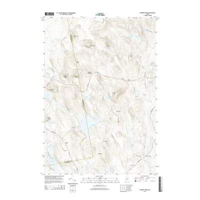
 2024 Beech Hill Pond2024 Print · USGSCentral Hancock County comes into focus in this recent survey, showcasing the rural landscapes between the city of ELLSWORTH and Mariaville. Genealogists and researchers can trace local family lineages through Evergreen Cem, Beech Hill Cem, and the Green Lake National Fish Hatchery.
End of results
Showing maps 1-25 of 25
Top cities near Mariaville
- Ellsworth historical maps
- Holden historical maps
- Milford historical maps
- Blue Hill historical maps
- Hancock historical maps
- Orland historical maps
See more
Top neighborhoods of Mariaville
Frequently asked questions
- What are the different types of historical maps available for Mariaville?
- What is the oldest map of Mariaville?
- Where can I purchase historical maps of Mariaville for my home or office?
- Where can I download high-res historical maps of Mariaville?
- Are there historical topographic maps available for Mariaville?
- Is there historical aerial imagery available for Mariaville?
- Where are historical maps of Mariaville sourced from?