2000s (21st Century) Maps of Mount Desert, Maine
Explore 25 historic maps of Mount Desert from the 2000s (21st Century). These maps offer a rare glimpse into what life looked like during the 2000s — showing old roads, neighborhoods, homes, and landmarks that have changed or disappeared over time.
Whether you're researching your family's past, planning a metal detecting trip, or studying how Mount Desert's landscape evolved across the 2000s, these high-resolution maps are a powerful tool for exploring the history of this region.
- Focus on a specific era: All maps on this page are from the 2000s, giving you a focused view of this time period.
- See what’s changed: Compare century-old streets, trails, and buildings to today's modern landscape using overlays and satellite layers.
- Research with precision: Use these maps for genealogy, historical research, land use analysis, or educational projects.
- View, download, or print: Maps are fully viewable online in high resolution, and can be downloaded or printed for your own records.
Start exploring Mount Desert's history through authentic maps from the 2000s. This is your window into the past.
Mount Desert, ME maps
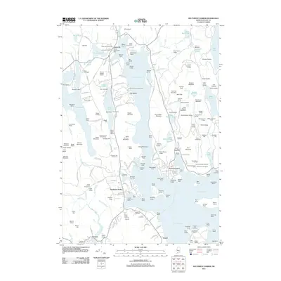
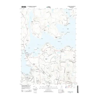
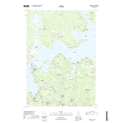
(25)- 2011 Map of Salsbury Cove, 2011 Print
 2011 Salsbury Cove2011 Print · USGSCovers Mount Desert, including Bar Harbor, Hancock, and other nearby areas
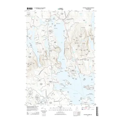
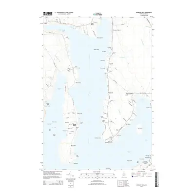
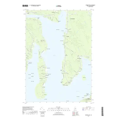
 - 2011 Map of Newbury Neck, 2011 Print
 2011 Newbury Neck2011 Print · USGSCovers Mount Desert, including Ellsworth, Bar Harbor, and other nearby areas
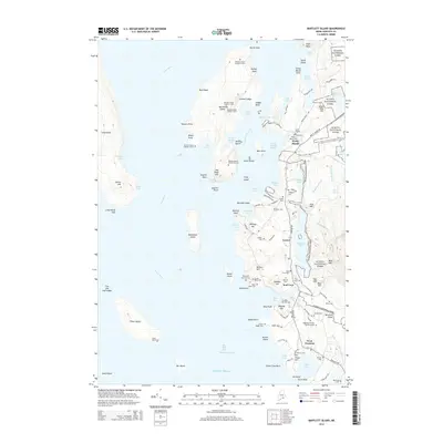
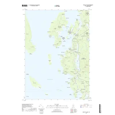
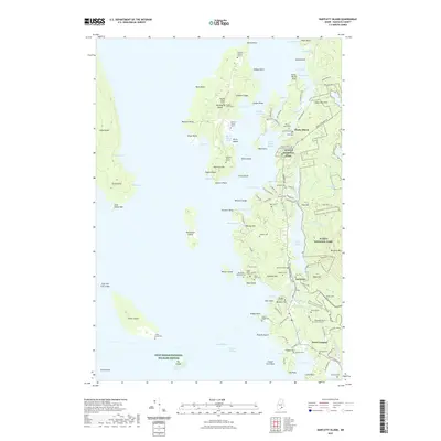
 - 2011 Map of Bartlett Island, 2011 Print
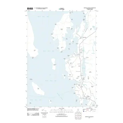 2011 Bartlett Island2011 Print · USGSCovers Mount Desert, including Bar Harbor, Blue Hill, and other nearby areas
 - 2011 Map of Seal Harbor, 2011 Print
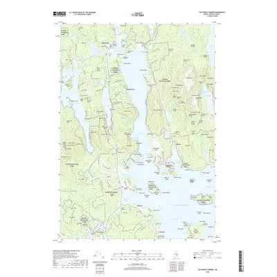
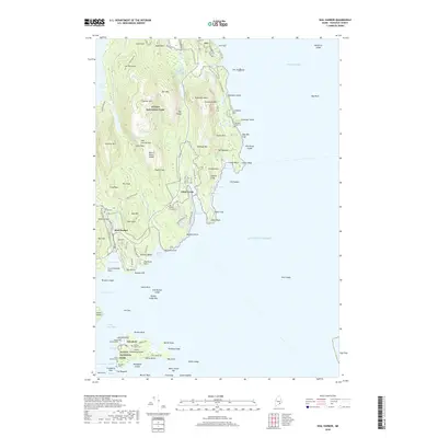
 2011 Seal Harbor2011 Print · USGSCovers Mount Desert, including Bar Harbor, Winter Harbor, and other nearby areas
 - 2011 Map of Southwest Harbor, 2011 Print
 2011 Southwest Harbor2011 Print · USGSCovers Mount Desert, including Bar Harbor, Southwest Harbor, and other nearby areas
 - 2014 Map of Southwest Harbor, 2014 Print
 2014 Southwest Harbor2014 Print · USGSCovers Mount Desert, including Bar Harbor, Southwest Harbor, and other nearby areas
 - 2014 Map of Bartlett Island, 2014 Print
 2014 Bartlett Island2014 Print · USGSCovers Mount Desert, including Bar Harbor, Blue Hill, and other nearby areas
 - 2014 Map of Newbury Neck, 2014 Print
 2014 Newbury Neck2014 Print · USGSCovers Mount Desert, including Ellsworth, Bar Harbor, and other nearby areas
 - 2014 Map of Seal Harbor, 2014 Print
 2014 Seal Harbor2014 Print · USGSCovers Mount Desert, including Bar Harbor, Winter Harbor, and other nearby areas
 - 2014 Map of Salsbury Cove, 2014 Print
 2014 Salsbury Cove2014 Print · USGSCovers Mount Desert, including Bar Harbor, Hancock, and other nearby areas
 - 2018 Map of Bartlett Island, 2018 Print
 2018 Bartlett Island2018 Print · USGSCovers Mount Desert, including Bar Harbor, Blue Hill, and other nearby areas
 - 2018 Map of Southwest Harbor, 2018 Print
 2018 Southwest Harbor2018 Print · USGSCovers Mount Desert, including Bar Harbor, Southwest Harbor, and other nearby areas
 - 2018 Map of Newbury Neck, 2018 Print
 2018 Newbury Neck2018 Print · USGSCovers Mount Desert, including Ellsworth, Bar Harbor, and other nearby areas
 - 2018 Map of Salsbury Cove, 2018 Print
 2018 Salsbury Cove2018 Print · USGSCovers Mount Desert, including Bar Harbor, Hancock, and other nearby areas
 - 2018 Map of Seal Harbor, 2018 Print
 2018 Seal Harbor2018 Print · USGSCovers Mount Desert, including Bar Harbor, Winter Harbor, and other nearby areas
 - 2021 Map of Bartlett Island, 2021 Print
 2021 Bartlett Island2021 Print · USGSCovers Mount Desert, including Bar Harbor, Blue Hill, and other nearby areas
 - 2021 Map of Newbury Neck, 2021 Print
 2021 Newbury Neck2021 Print · USGSCovers Mount Desert, including Ellsworth, Bar Harbor, and other nearby areas
 - 2021 Map of Seal Harbor, 2021 Print
 2021 Seal Harbor2021 Print · USGSCovers Mount Desert, including Bar Harbor, Winter Harbor, and other nearby areas
 - 2021 Map of Salsbury Cove, 2021 Print
 2021 Salsbury Cove2021 Print · USGSCovers Mount Desert, including Bar Harbor, Hancock, and other nearby areas
 - 2021 Map of Southwest Harbor, 2021 Print
 2021 Southwest Harbor2021 Print · USGSCovers Mount Desert, including Bar Harbor, Southwest Harbor, and other nearby areas
 - 2024 Map of Newbury Neck, 2024 Print
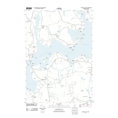
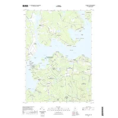
 2024 Newbury Neck2024 Print · USGSCoastal Maine life and geography are captured here in this recent survey of the peninsula between Surry and Trenton. Genealogists and local historians can trace family land and heritage through numerous burial sites like Village Cem, Haynes Cem, and Alley Cem.
 - 2024 Map of Bartlett Island, 2024 Print
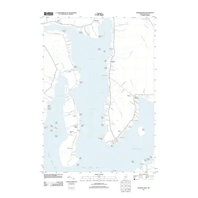
 2024 Bartlett Island2024 Print · USGSCoastal Hancock County at the turn of the 2020s shows a landscape where maritime tradition and conservation meet. Researchers can trace dozens of family burial sites like Pretty Marsh Cem and the Babbidge Murphy Burial Ground near Seal Cove.
 - 2024 Map of Southwest Harbor, 2024 Print
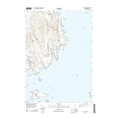
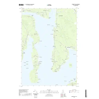
 2024 Southwest Harbor2024 Print · USGSMount Desert Island in 2024 maintains its historic coastal character from Somesville to the busy docks of Northeast Harbor. Researchers can trace deep family roots at the Spurling Revolutionary War Cem and Old Burying Ground.
 - 2024 Map of Seal Harbor, 2024 Print
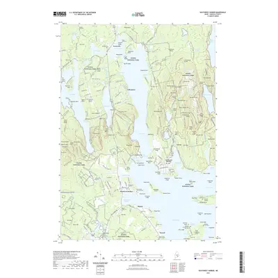
 2024 Seal Harbor2024 Print · USGSMount Desert Island and the Cranberry Isles appear here in the early twenty-first century, showcasing the rocky Atlantic coast and Acadia National Park. Genealogists can trace family history at the Schooner Head Cem and Standley Grave, or locate sites like Islesford and Otter Creek.
 - 2024 Map of Salsbury Cove, 2024 Print
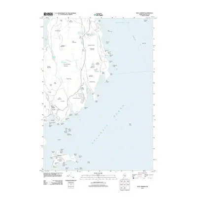
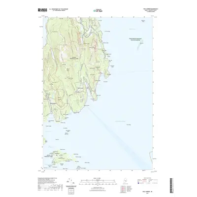
 2024 Salsbury Cove2024 Print · USGSHancock County's coastal interface at the northern reach of Mount Desert Island is captured in this recent survey. Genealogists and local historians can locate numerous family burial sites such as the Emery Family Burial Ground, Newman Grave, and Mountain View Cem.
End of results
Showing maps 1-25 of 25
Top cities near Mount Desert
- Ellsworth historical maps
- Bar Harbor historical maps
- Blue Hill historical maps
- Hancock historical maps
- Deer Isle historical maps
- Southwest Harbor historical maps
See more
Top neighborhoods of Mount Desert
- Northeast Harbor historical maps
- Somesville historical maps
- Seal Harbor historical maps
- Asticou historical maps
- Hall Quarry historical maps
- Otter Creek historical maps
Frequently asked questions
- What are the different types of historical maps available for Mount Desert?
- What is the oldest map of Mount Desert?
- Where can I purchase historical maps of Mount Desert for my home or office?
- Where can I download high-res historical maps of Mount Desert?
- Are there historical topographic maps available for Mount Desert?
- Is there historical aerial imagery available for Mount Desert?
- Where are historical maps of Mount Desert sourced from?