2020s Maps of Vassalboro, Maine
Explore 10 historic maps of Vassalboro from the 2020s. These maps offer a rare glimpse into what life looked like during the 2020s — showing old roads, neighborhoods, homes, and landmarks that have changed or disappeared over time.
Whether you're researching your family's past, planning a metal detecting trip, or studying how Vassalboro's landscape evolved across the 2020s, these high-resolution maps are a powerful tool for exploring the history of this region.
- Focus on a specific era: All maps on this page are from the 2020s, giving you a focused view of this time period.
- See what’s changed: Compare century-old streets, trails, and buildings to today's modern landscape using overlays and satellite layers.
- Research with precision: Use these maps for genealogy, historical research, land use analysis, or educational projects.
- View, download, or print: Maps are fully viewable online in high resolution, and can be downloaded or printed for your own records.
Start exploring Vassalboro's history through authentic maps from the 2020s. This is your window into the past.
Vassalboro, ME maps
(10)- 2021 Map of China Lake, 2021 Print
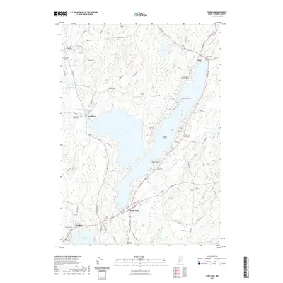 2021 China Lake2021 Print · USGSCovers Vassalboro, including Winslow, China, and other nearby areas
 - 2021 Map of Vassalboro, 2021 Print
 2021 Vassalboro2021 Print · USGSCovers Vassalboro, including Augusta, Winslow, and other nearby areas
 - 2021 Map of Waterville, 2021 Print
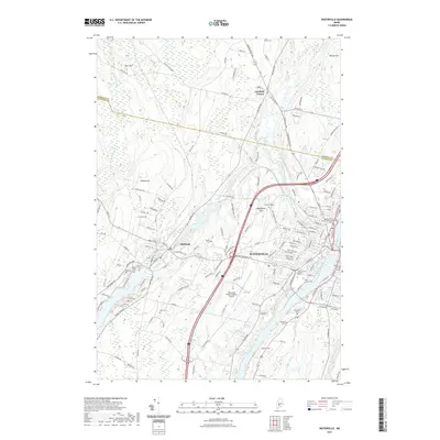 2021 Waterville2021 Print · USGSCovers Vassalboro, including Waterville, Winslow, and other nearby areas
 - 2021 Map of Togus Pond, 2021 Print
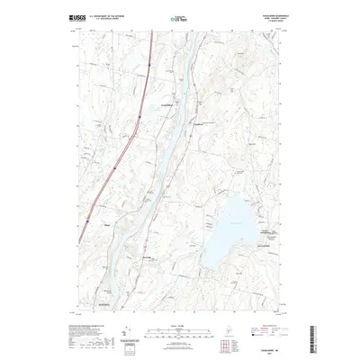
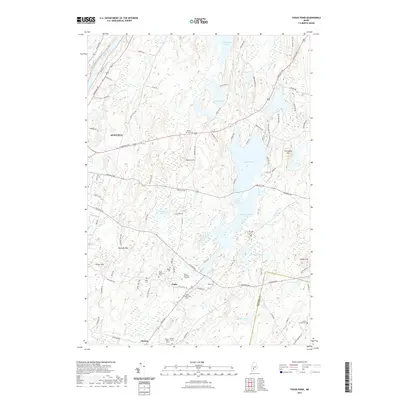 2021 Togus Pond2021 Print · USGSCovers Vassalboro, including Augusta, Chelsea, and other nearby areas
 - 2021 Map of Weeks Mills, 2021 Print
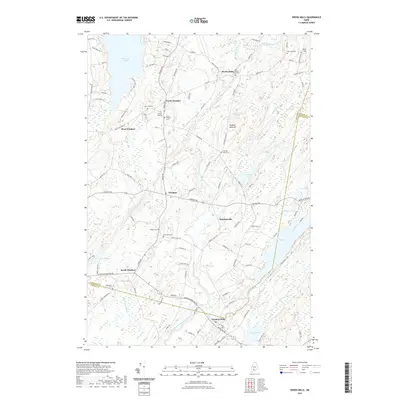 2021 Weeks Mills2021 Print · USGSCovers Vassalboro, including China, Windsor, and other nearby areas
 - 2024 Map of Weeks Mills, 2024 Print
 2024 Weeks Mills2024 Print · USGSMaine's rural Kennebec and Lincoln county lines meet here among river-fed hamlets and historic family burial grounds. Researchers can trace ancestral locations through the numerous cemeteries such as Twenty Rod Cem or explore settlements like Weeks Mills and Coopers Mills along the Sheepscot River.
 - 2024 Map of Togus Pond, 2024 Print
 2024 Togus Pond2024 Print · USGSThe outskirts of Augusta and the veteran community of Togus are captured here in 2024, highlighting a landscape of river valleys and glacial ponds. Researchers can trace local lineage through numerous burial sites, including the Togus National Cem East, Mud Mill Cem, and James Preble Cem.
 - 2024 Map of China Lake, 2024 Print
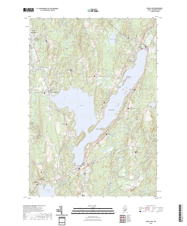 2024 China Lake2024 Print · USGSKennebec County's lake-centered settlements are mapped here in the modern era, showing the enduring boundaries of villages like North Vassalboro and South China. Researchers can trace dozens of family burial grounds, from Williams Cem and Haskell Cem to the Friends Churchyard Cem.
 - 2024 Map of Vassalboro, 2024 Print
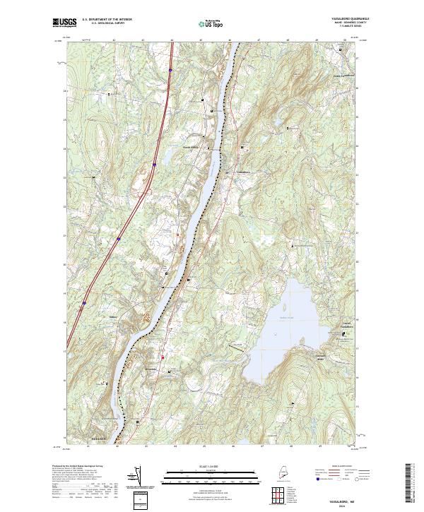 2024 Vassalboro2024 Print · USGSThe Kennebec River valley and Webber Pond area are shown in this modern survey of central Maine. Genealogists and historians can locate numerous small burial grounds like Bangs Cem and Sibley Cem alongside settlements at Riverside and North Sidney.
 - 2024 Map of Waterville, 2024 Print
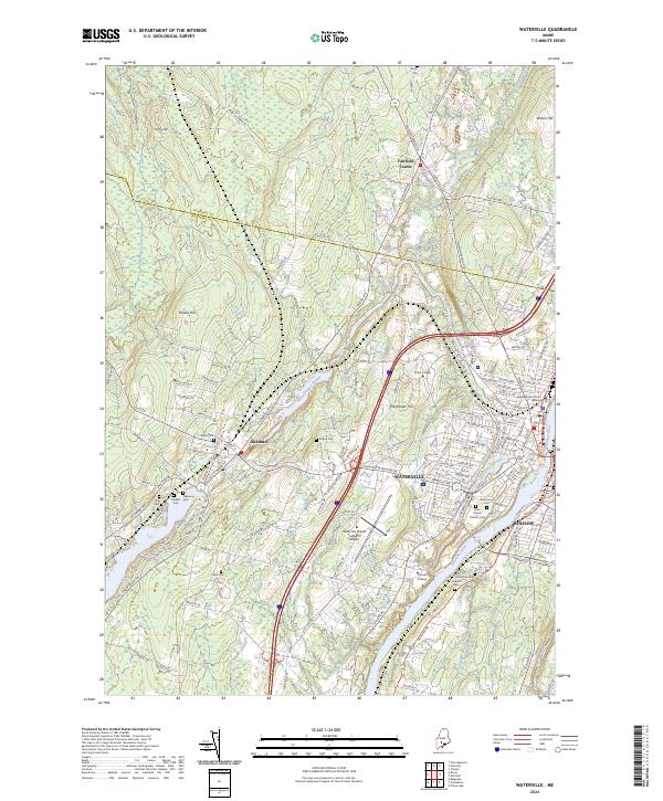 2024 Waterville2024 Print · USGSThe Kennebec River valley in the early 2020s shows a mature college town and regional hub. Genealogists and historians can locate numerous burial sites like Pine Grove Cem and Fort Hill Cemetery or trace the Pan Am Railways corridor.
End of results
Showing maps 1-10 of 10
Top cities near Vassalboro
- Augusta historical maps
- Waterville historical maps
- Winslow historical maps
- Fairfield historical maps
- Oakland historical maps
- Gardiner historical maps
See more
Top neighborhoods of Vassalboro
- Center Vassalboro historical maps
- Getchell Corner historical maps
- Riverside historical maps
- Seaward Mills historical maps
- East Vassalboro historical maps
- McCoy Crossing historical maps
See more
Frequently asked questions
- What are the different types of historical maps available for Vassalboro?
- What is the oldest map of Vassalboro?
- Where can I purchase historical maps of Vassalboro for my home or office?
- Where can I download high-res historical maps of Vassalboro?
- Are there historical topographic maps available for Vassalboro?
- Is there historical aerial imagery available for Vassalboro?
- Where are historical maps of Vassalboro sourced from?