1900s (20th Century) Maps of Washington, Maine
Explore 16 historic maps of Washington from the 1900s (20th Century). These maps offer a rare glimpse into what life looked like during the 1900s — showing old roads, neighborhoods, homes, and landmarks that have changed or disappeared over time.
Whether you're researching your family's past, planning a metal detecting trip, or studying how Washington's landscape evolved across the 1900s, these high-resolution maps are a powerful tool for exploring the history of this region.
- Focus on a specific era: All maps on this page are from the 1900s, giving you a focused view of this time period.
- See what’s changed: Compare century-old streets, trails, and buildings to today's modern landscape using overlays and satellite layers.
- Research with precision: Use these maps for genealogy, historical research, land use analysis, or educational projects.
- View, download, or print: Maps are fully viewable online in high resolution, and can be downloaded or printed for your own records.
Start exploring Washington's history through authentic maps from the 1900s. This is your window into the past.
Washington, ME maps
(16)- 1913 Map of Waldoboro
 1913 Waldoboro1913 Print · USGSCoastal Lincoln and Knox counties come alive in this pre-war survey, showing a landscape of tightly-knit villages and rural school districts connected by the river and rail. Researchers can trace ancestral footprints at the Old Dutch Church, Winslows Mills, and the Benners Corner Cem.2 unique versions available
 - 1915 Map of Waldoboro
 1915 Waldoboro1915 Print · USGSCoastal Lincoln County is surveyed here in the early twentieth century, showing a landscape defined by tidal rivers and small farming hamlets. Genealogists can locate family-named sites like Flanders Corner and rural institutions such as the Branch School and Broad Cove PO.5 unique versions available
 - 1916 Map of Liberty
 1916 Liberty1916 Print · USGSMid-coast Maine at the start of the Great War was a patchwork of small townships and family farmsteads connected by narrow-gauge rails. Researchers can locate dozens of country schools and named crossroads such as The Kingdom, Hibberts Gore, and Woodmans Mills.6 unique versions available
 - 1941 Map of Waldoboro
 1941 Waldoboro1941 Print · USGSThe Medomak River valley and its surrounding coastal hills are captured here just as the war began. You can trace early twentieth-century rail connections at Glendon Station, find family-named crossroads like Whitney Corner, and locate local landmarks such as Winslows Mills.
 - 1942 Map of Liberty
 1942 Liberty1942 Print · USGSWaldo and Lincoln County lands are documented here just before mid-century, showing a landscape of rural schools and family-named corners. Genealogists can trace property near Hibberts Gore or locate ancestral homesites near Handy Sch and Montville Post Office.
 - 1948 Map of Bangor
 1948 Bangor1948 Print · USGSThe Maine coast and its industrial river valleys are captured here shortly after the war, showing the vital shipping and rail hubs of the late 1940s. Genealogists and historians can trace the tracks of the Maine Central RR connecting Bangor, Augusta, and Old Town.
 - 1950 Map of Liberty
 1950 Liberty1950 Print · USGSMid-century Waldo County and its neighbors are defined here by a network of crossroad hamlets and upland ridges just after the war. Local historians can trace the foundations of The Kingdom, identify family sites near Hutchins Corner, or locate rural schoolhouses like Hallidale Sch.
 - 1950 Map of Waldoboro
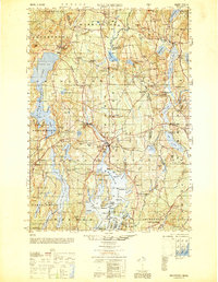 1950 Waldoboro1950 Print · USGSThe Medomak River valley and the coastal hills of Lincoln County are captured here in the mid-century, prior to modern suburban expansion. Genealogists and historians can locate old landmarks like Nobleboro Station, Winslow Mills, and numerous neighborhood schools like Duckpuddle Sch.
 - 1956 Map of Bangor, 1966 Print
 1956 Bangor1966 Print · USGSMid-century Maine comes alive in this survey of the rugged coast and river valleys during the 1950s. Genealogists and historians can trace the vital rail corridors of the Maine Central RR connecting timber towns like Old Town to the coast at Bar Harbor.3 unique versions available
 - 1960 Map of Bangor
 1960 Bangor1960 Print · USGSCentral Maine in the sixties reveals a landscape of river-powered industry and sprawling coastal island chains. Researchers can trace the rail corridors of the Maine Central or locate mid-century aviation landmarks like Dow Air Force Base.
 - 1961 Map of Bangor
 1961 Bangor1961 Print · USGSMid-century Maine comes alive through its busy river ports and rocky archipelagoes during a period of steady maritime and rail commerce. Researchers can trace the path of the Maine Central railroad and locate coastal landmarks from Acadia National Park to Vinalhaven Island.
 - 1961 Map of Washington, 1964 Print
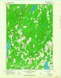 1961 Washington1964 Print · USGSMid-coast Maine’s interior highlands in the early sixties reveal a landscape of interconnected small villages and deep-water ponds. Genealogists and local historians can locate several family burial grounds, including Weymouth Cem and Skidmore Cem, alongside landmarks like Woodmans Mills and Prescott Memorial Sch.3 unique versions available
 - 1961 Map of Razorville, 1964 Print
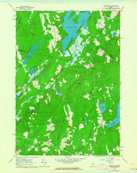 1961 Razorville1964 Print · USGSCoastal Maine's interior comes into focus during the early sixties, showing a landscape of unincorporated gores and rural plantations. Genealogists can trace family names at Hannan Cem and Lenfest Cem or locate the Sandhill Sch near Sandhill Corner.3 unique versions available
 - 1965 Map of Jefferson, 1967 Print
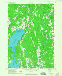 1965 Jefferson1967 Print · USGSMid-coast Maine’s wooded hills and lakefronts are captured here in the mid-1960s, showing a landscape of small crossroads and river rapids. Researchers can trace family-named locales like Kennedy Corner, Orffs Corner, and the rural community of North Waldoboro along the Medomak River.4 unique versions available
 - 1965 Map of Union, 1967 Print
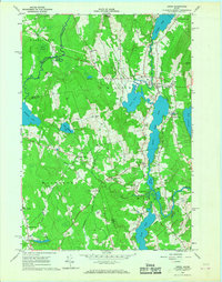 1965 Union1967 Print · USGSKnox County is captured in the mid-sixties as a landscape of interconnected ponds and rural hamlets. Local historians can trace the Old Railroad Grade and identify family-named crossroads like Whitney Corner and Manks Corner.4 unique versions available
 - 1984 Map of Augusta
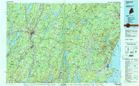 1984 Augusta1984 Print · USGSMid-coast and central Maine were undergoing steady change in the mid-eighties as traditional river and coastal industries met expanding recreation. You can trace the Maine Central RR through Augusta or explore the rugged shoreline from Rockland Harbor up to Mount Megunticook.
End of results
Showing maps 1-16 of 16
Top cities near Washington
- Winslow historical maps
- Rockland historical maps
- Warren historical maps
- Vassalboro historical maps
- China historical maps
- Camden historical maps
See more
Top neighborhoods of Washington
- Lucas Corner historical maps
- West Washington historical maps
- Hibberts Corner historical maps
- Stickney Corner historical maps
- Globe historical maps
- Razorville historical maps
Frequently asked questions
- What are the different types of historical maps available for Washington?
- What is the oldest map of Washington?
- Where can I purchase historical maps of Washington for my home or office?
- Where can I download high-res historical maps of Washington?
- Are there historical topographic maps available for Washington?
- Is there historical aerial imagery available for Washington?
- Where are historical maps of Washington sourced from?