2000s (21st Century) Maps of Pemaquid, Bristol
Explore 6 historic maps of Pemaquid from the 2000s (21st Century). These maps offer a rare glimpse into what life looked like during the 2000s — showing old roads, neighborhoods, homes, and landmarks that have changed or disappeared over time.
Whether you're researching your family's past, planning a metal detecting trip, or studying how Pemaquid's landscape evolved across the 2000s, these high-resolution maps are a powerful tool for exploring the history of this region.
- Focus on a specific era: All maps on this page are from the 2000s, giving you a focused view of this time period.
- See what’s changed: Compare century-old streets, trails, and buildings to today's modern landscape using overlays and satellite layers.
- Research with precision: Use these maps for genealogy, historical research, land use analysis, or educational projects.
- View, download, or print: Maps are fully viewable online in high resolution, and can be downloaded or printed for your own records.
Start exploring Pemaquid's history through authentic maps from the 2000s. This is your window into the past.
Pemaquid, Bristol maps
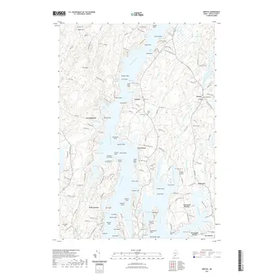
(6)- 2000 Map of Bristol, 2001 Print
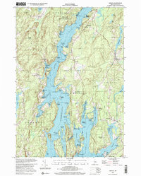 2000 Bristol2001 Print · USGSCoastal Lincoln County at the turn of the millennium shows a landscape of deep-water rivers and historic meetinghouses. Researchers can trace land ownership and community roots near the Old Walpole Meetinghouse, West Bristol Cem, and the village of Bristol.
 - 2011 Map of Bristol, 2011 Print
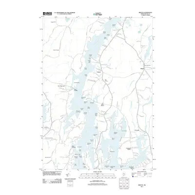 2011 Bristol2011 Print · USGSCovers Pemaquid, including Boothbay, Bristol, and other nearby areas
 - 2014 Map of Bristol, 2014 Print
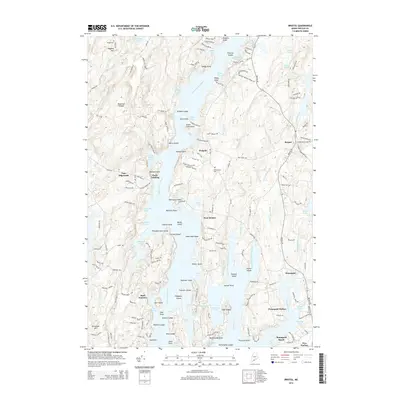 2014 Bristol2014 Print · USGSCovers Pemaquid, including Boothbay, Bristol, and other nearby areas
 - 2018 Map of Bristol, 2018 Print
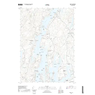 2018 Bristol2018 Print · USGSCovers Pemaquid, including Boothbay, Bristol, and other nearby areas
 - 2021 Map of Bristol, 2021 Print
 2021 Bristol2021 Print · USGSCovers Pemaquid, including Boothbay, Bristol, and other nearby areas
 - 2024 Map of Bristol, 2024 Print
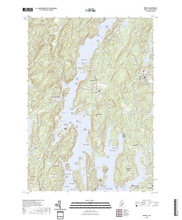 2024 Bristol2024 Print · USGSThe Lincoln County coast comes into focus here, showing the intricate shoreline and historic villages of the mid-coast region. Genealogists can trace family names at the Stephen Bryer Farm Cem or locate the Harrington Meeting House Cem.
End of results
Showing maps 1-6 of 6
Top cities near Pemaquid
- Warren historical maps
- Wiscasset historical maps
- Woolwich historical maps
- Boothbay historical maps
- Pittston historical maps
- Bristol historical maps
See more
Frequently asked questions
- What are the different types of historical maps available for Pemaquid?
- What is the oldest map of Pemaquid?
- Where can I purchase historical maps of Pemaquid for my home or office?
- Where can I download high-res historical maps of Pemaquid?
- Are there historical topographic maps available for Pemaquid?
- Is there historical aerial imagery available for Pemaquid?
- Where are historical maps of Pemaquid sourced from?