2000s (21st Century) Maps of Nobleboro, Maine
Explore 21 historic maps of Nobleboro from the 2000s (21st Century). These maps offer a rare glimpse into what life looked like during the 2000s — showing old roads, neighborhoods, homes, and landmarks that have changed or disappeared over time.
Whether you're researching your family's past, planning a metal detecting trip, or studying how Nobleboro's landscape evolved across the 2000s, these high-resolution maps are a powerful tool for exploring the history of this region.
- Focus on a specific era: All maps on this page are from the 2000s, giving you a focused view of this time period.
- See what’s changed: Compare century-old streets, trails, and buildings to today's modern landscape using overlays and satellite layers.
- Research with precision: Use these maps for genealogy, historical research, land use analysis, or educational projects.
- View, download, or print: Maps are fully viewable online in high resolution, and can be downloaded or printed for your own records.
Start exploring Nobleboro's history through authentic maps from the 2000s. This is your window into the past.
Nobleboro, ME maps
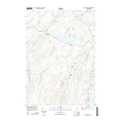
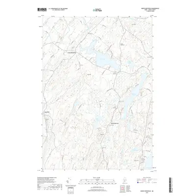
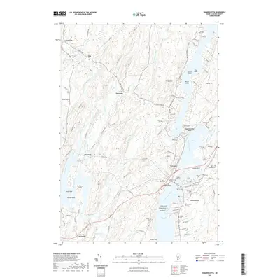
(21)- 2000 Map of Damariscotta, 2001 Print
 2000 Damariscotta2001 Print · USGSThe mid-coast Maine landscape at the millennium shows a timeless network of river towns and tidal estuaries. Genealogists can trace family sites from Head Tide to Damariscotta Mills, including Pine Knoll Cem and the historic St Patricks Ch.
 - 2011 Map of North Whitefield, 2011 Print
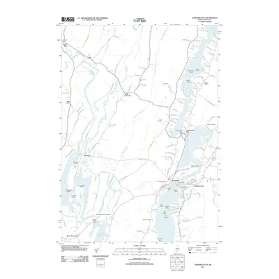
 2011 North Whitefield2011 Print · USGSCovers Nobleboro, including Jefferson, Whitefield, and other nearby areas
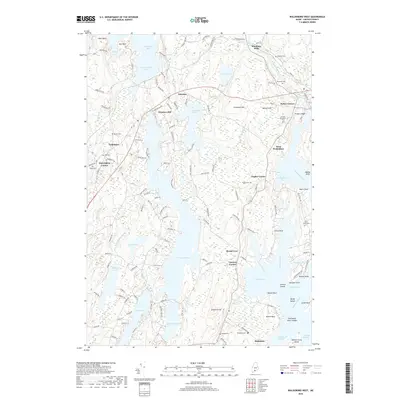
 - 2011 Map of Waldoboro West, 2011 Print
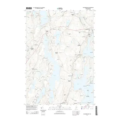
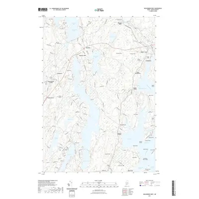
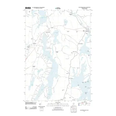 2011 Waldoboro West2011 Print · USGSCovers Nobleboro, including Bristol, Damariscotta, and other nearby areas
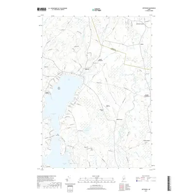
 - 2011 Map of Jefferson, 2011 Print
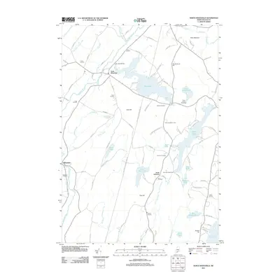
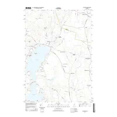
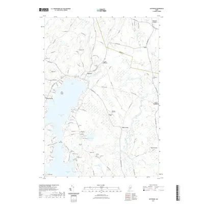
 2011 Jefferson2011 Print · USGSCovers Nobleboro, including Jefferson, Washington, and other nearby areas
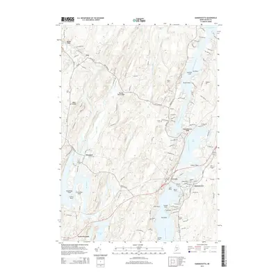
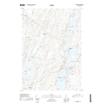
 - 2011 Map of Damariscotta, 2011 Print
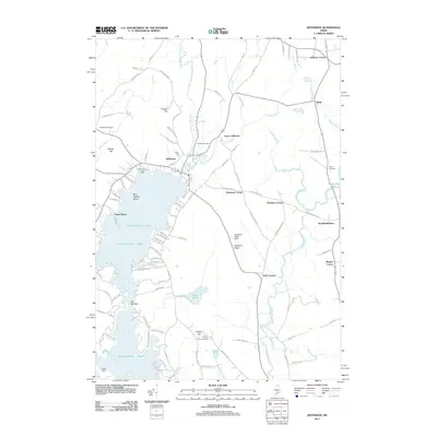
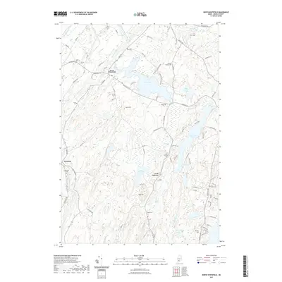
 2011 Damariscotta2011 Print · USGSCovers Nobleboro, including Wiscasset, Bristol, and other nearby areas
 - 2014 Map of North Whitefield, 2014 Print
 2014 North Whitefield2014 Print · USGSCovers Nobleboro, including Jefferson, Whitefield, and other nearby areas
 - 2014 Map of Damariscotta, 2014 Print
 2014 Damariscotta2014 Print · USGSCovers Nobleboro, including Wiscasset, Bristol, and other nearby areas
 - 2014 Map of Jefferson, 2014 Print
 2014 Jefferson2014 Print · USGSCovers Nobleboro, including Jefferson, Washington, and other nearby areas
 - 2014 Map of Waldoboro West, 2014 Print
 2014 Waldoboro West2014 Print · USGSCovers Nobleboro, including Bristol, Damariscotta, and other nearby areas
 - 2018 Map of North Whitefield, 2018 Print
 2018 North Whitefield2018 Print · USGSCovers Nobleboro, including Jefferson, Whitefield, and other nearby areas
 - 2018 Map of Damariscotta, 2018 Print
 2018 Damariscotta2018 Print · USGSCovers Nobleboro, including Wiscasset, Bristol, and other nearby areas
 - 2018 Map of Jefferson, 2018 Print
 2018 Jefferson2018 Print · USGSCovers Nobleboro, including Jefferson, Washington, and other nearby areas
 - 2018 Map of Waldoboro West, 2018 Print
 2018 Waldoboro West2018 Print · USGSCovers Nobleboro, including Bristol, Damariscotta, and other nearby areas
 - 2021 Map of Jefferson, 2021 Print
 2021 Jefferson2021 Print · USGSCovers Nobleboro, including Jefferson, Washington, and other nearby areas
 - 2021 Map of Damariscotta, 2021 Print
 2021 Damariscotta2021 Print · USGSCovers Nobleboro, including Wiscasset, Bristol, and other nearby areas
 - 2021 Map of North Whitefield, 2021 Print
 2021 North Whitefield2021 Print · USGSCovers Nobleboro, including Jefferson, Whitefield, and other nearby areas
 - 2021 Map of Waldoboro West, 2021 Print
 2021 Waldoboro West2021 Print · USGSCovers Nobleboro, including Bristol, Damariscotta, and other nearby areas
 - 2024 Map of Jefferson, 2024 Print
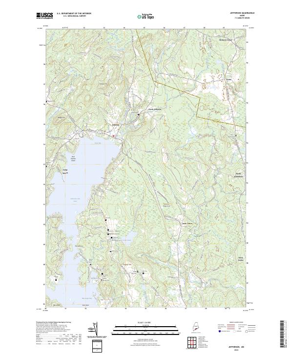 2024 Jefferson2024 Print · USGSJefferson and the northern reaches of Damariscotta Lake are depicted in this recent survey of Lincoln County’s rolling hills. Genealogists and local historians can trace family roots through numerous burial sites including Hall Cem, Moody Family Cem, and Fairview Cem.
 - 2024 Map of Damariscotta, 2024 Print
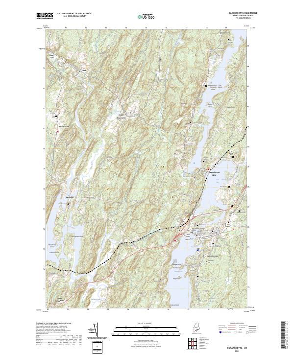 2024 Damariscotta2024 Print · USGSCoastal Maine life along the Sheepscot River is captured here in the mid-2020s, showing the settled landscape of Lincoln County. Genealogists can trace numerous family-named landmarks and burial sites including Plummer Cem, Bartlett-Jones Cem, and the historic Damariscotta Mills.
 - 2024 Map of North Whitefield, 2024 Print
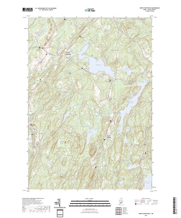 2024 North Whitefield2024 Print · USGSMaine's Lincoln County interior is documented here in the 2020s, showing a landscape shaped by the Sheepscot River and rural crossroads. Local historians can trace family roots through numerous burial sites like Choate Cem and Northey Cem near the village of North Whitefield.
 - 2024 Map of Waldoboro West, 2024 Print
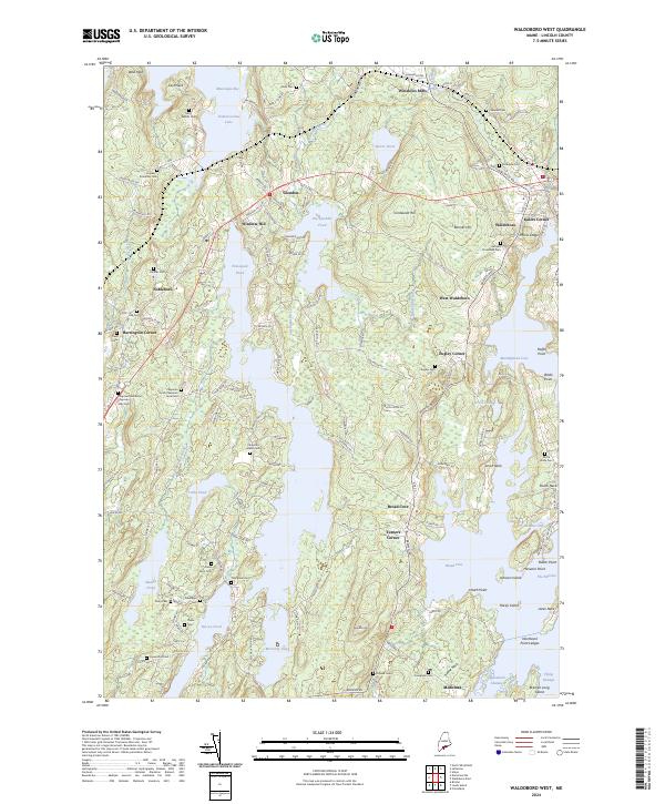 2024 Waldoboro West2024 Print · USGSCoastal Lincoln County is mapped here in the modern era, showing the intricate tidal inlets and freshwater ponds of the mid-coast region. Genealogists can locate family burial grounds like the Dutch Neck Cem and Riverside Cem near the Medomak River.
End of results
Showing maps 1-21 of 21
Top cities near Nobleboro
- Augusta historical maps
- Warren historical maps
- Wiscasset historical maps
- Woolwich historical maps
- Boothbay historical maps
- Pittston historical maps
See more
Top neighborhoods of Nobleboro
- Damariscotta Mills historical maps
- Glendon historical maps
- Harrington Corner historical maps
- Winslow Hill historical maps
Frequently asked questions
- What are the different types of historical maps available for Nobleboro?
- What is the oldest map of Nobleboro?
- Where can I purchase historical maps of Nobleboro for my home or office?
- Where can I download high-res historical maps of Nobleboro?
- Are there historical topographic maps available for Nobleboro?
- Is there historical aerial imagery available for Nobleboro?
- Where are historical maps of Nobleboro sourced from?