Old Maps of South Arm, Township C for Academic Research
Study the evolution of South Arm with 17 high-resolution historic maps. Whether you're teaching, researching, or modeling changes in land use, these maps provide essential visual documentation of urban, environmental, and geographic change.
- Analyze long-term change: Track patterns in development, transportation, and natural features.
- Ideal for environmental or urban studies: Support academic projects with primary historical map data.
- Use in the classroom or lab: Educators and researchers rely on these maps to bring historical context to life.
These maps are a powerful tool for teaching, research, and visualizing how South Arm has changed over the decades.
South Arm, Township C maps
(17)- 1940 Map of Oquossoc, 1955 Print
 1940 Oquossoc1955 Print · USGSOxford County at the dawn of the 1940s remained a landscape of timber and water, centered on the historic settlements of the Rangeley Lakes. Genealogists and researchers can trace early lakefront communities and the vital water-control sites at Upper Dam, Aziscohos Dam, and Oquossoc.4 unique versions available
 - 1942 Map of Oquossoc
 1942 Oquossoc1942 Print · USGSMaine's western lakes and timberlands are captured here in the early 1940s, showing a landscape defined by water and woods. You can trace the Appalachian Trail through the high country or locate remote sporting sites like the Oquossoc Angling Assn and Middle Dam.3 unique versions available
 - 1950 Map of Lewiston
 1950 Lewiston1950 Print · USGSThe Maine and New Hampshire borderlands come alive in this post-war survey of the White Mountains and Androscoggin valley. Genealogists and historians can trace rail lines like the Maine Central Railroad and find high-altitude landmarks from Mount Washington to Bretton Woods.2 unique versions available
 - 1956 Map of Lewiston, 1975 Print
 1956 Lewiston1975 Print · USGSThe Northern New England interior is documented here in the mid-fifties, from the industrial Androscoggin River to the high peaks of the White Mountains. Trace the Grand Trunk Railway through mountain passes or locate family landmarks near Sabbathday Lake and Bretton Woods.
 - 1961 Map of Lewiston
 1961 Lewiston1961 Print · USGSWestern Maine and the White Mountains appear here during the early sixties, showing the industrial river towns and vast timberlands before the modern interstate era. Genealogists and historians can trace the Grand Trunk RR through Berlin or locate landmarks like Old Speck Mountain and Elephant Mountain.
 - 1962 Map of Lewiston
 1962 Lewiston1962 Print · USGSThe industrial river valleys and high peaks of Maine and New Hampshire define the region in the early sixties. Trace the rail-and-river network from Lewiston to the White Mountains, passing through mill towns like Berlin and Rumford.
 - 1969 Map of Lewiston
 1969 Lewiston1969 Print · USGSThe northern New England highlands come into focus during the mid-fifties, showing the vital rail and river networks connecting industrial centers to the deep woods. Researchers can trace the path of the Grand Trunk RR or locate landmarks like Mt Washington and Rangeley Lake.
 - 1977 Map of Metallak Mountain, 1983 Print
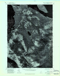 1977 Metallak Mountain1983 Print · USGSThe Maine wilderness in the late seventies is seen through aerial photography in this detailed study of the Rangeley Lakes region. Researchers can trace the timber lines and shorelines surrounding Metallak Mountain, Metallak Pond, and Richardson Lake.2 unique versions available
 - 1984 Map of Metallak Mtn, 1985 Print
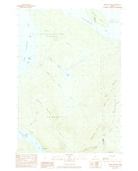 1984 Metallak Mtn1985 Print · USGSOxford County's high wilderness is captured here in the mid-1980s, showcasing the intersection of timber lands and glacial lakes. Hikers and historians can trace the Appalachian Trail across Elephant Mountain or locate the shoreline settlements of South Arm and Mosquito.2 unique versions available
 - 1986 Map of Rumford
 1986 Rumford1986 Print · USGSWestern Maine in the mid-eighties shows a rugged landscape of industrial river towns and high-country timber plantations. Trace the rail-and-river economy through Rumford, Dixfield, and the Maine Central RR or locate the historic campus of Farmington State College.
 - 1994 Map of Rumford
 1994 Rumford1994 Print · USGSWestern Maine's mountains and glacial lakes are shown here in the mid-1990s, from the peaks of the Mahoosuc Range to the banks of the Androscoggin River. Trace the Maine Central RR through Dixfield or locate lakeside settlements like Oquossoc.
 - 1997 Map of Metallak Mtn, 1999 Print
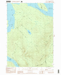 1997 Metallak Mtn1999 Print · USGSThe high ridges of Oxford County and the deep waters of the Rangeley Lakes are captured here in the late twentieth century. Hikers and historians can trace the Appalachian National Scenic Trail as it crosses Bemis Mountain near Metallak Pond.
 - 2011 Map of Metallak Mountain, 2011 Print
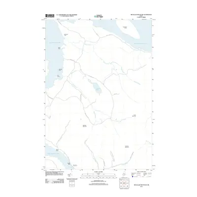 2011 Metallak Mountain2011 Print · USGSUpper Richardson Lake and the surrounding Maine wilderness are shown here in the early twenty-first century. Researchers can trace the shoreline landmarks of Whitneys Point and Metallak Island or locate the remote South Arm settlement.
 - 2014 Map of Metallak Mountain, 2014 Print
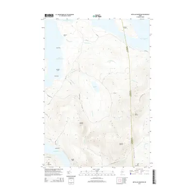 2014 Metallak Mountain2014 Print · USGSRangeley Plantation is captured here in the early 2010s, showing a landscape shaped by high peaks and the expansive Mooselookmeguntic Lake. Hikers and historians can trace the Appalachian National Scenic Trail across Elephant Mountain or locate remote points like South Arm and Metallak Island.
 - 2018 Map of Metallak Mountain, 2018 Print
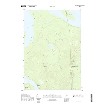 2018 Metallak Mountain2018 Print · USGSThe Maine wilderness near the Oxford and Franklin County line is captured here as a landscape of timber-hauling roads and high-altitude hiking paths. You can trace the Appalachian National Scenic Trail over Elephant Mtn and find the small outpost of South Arm on the lake's edge.
 - 2021 Map of Metallak Mountain, 2021 Print
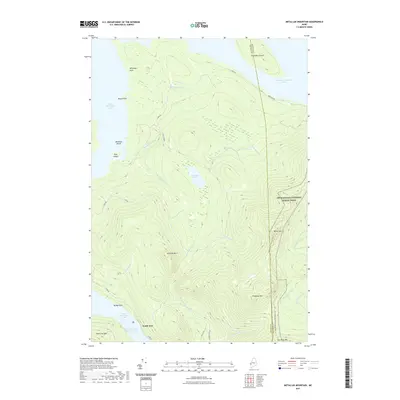 2021 Metallak Mountain2021 Print · USGSMaine's western lakes and mountains are captured here in the early twenty-first century as the Appalachian National Scenic Trail crosses high ridgelines. Hikers and historians can trace the path from Elephant Mtn toward the settlement at South Arm on Lower Richardson Lake.
 - 2024 Map of Metallak Mountain, 2024 Print
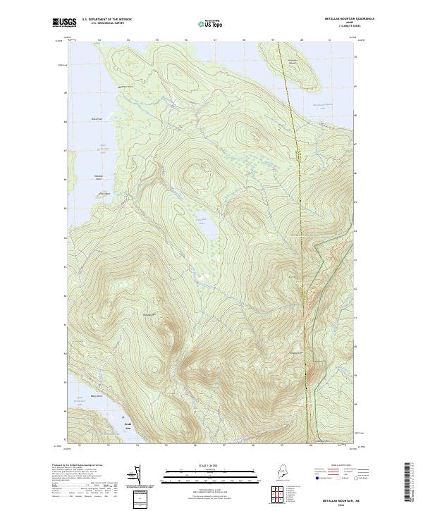 2024 Metallak Mountain2024 Print · USGSThe Oxford County highlands and the Richardson Lakes are mapped here in the modern era. Trace the Appalachian National Scenic Trail as it crosses Bemis Mtn or locate the lakeside settlement at South Arm.
End of results
Showing maps 1-17 of 17
Top cities near South Arm
- Rumford historical maps
- Rangeley historical maps
- Andover historical maps
- Newry historical maps
- Roxbury historical maps
- Dallas Plantation historical maps
See more
Frequently asked questions
- What are the different types of historical maps available for South Arm?
- What is the oldest map of South Arm?
- Where can I purchase historical maps of South Arm for my home or office?
- Where can I download high-res historical maps of South Arm?
- Are there historical topographic maps available for South Arm?
- Is there historical aerial imagery available for South Arm?
- Where are historical maps of South Arm sourced from?