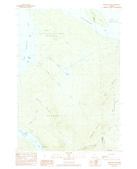
1984 Map of Metallak Mtn
USGS Topo · Published 1985About this map
The western Maine wilderness of Oxford County is defined here by the high ridgelines and interconnected glacial lakes of the Rangeley region. The rugged spine of Bemis Mountain and Elephant Mountain dominates the landscape, serving as a backdrop for the iconic Appalachian Trail as it traverses the southern sector of the map. This 1984 survey highlights the remote character of Township C and Bemis Township D, where logging roads and trails provide the primary access to the interior.
Find a feature on this map
32 named features on this map. Tap any name to fly to it.
Don’t see what you’re looking for? This feature index may not catch every label — zoom into the map to look around manually.
Map Details
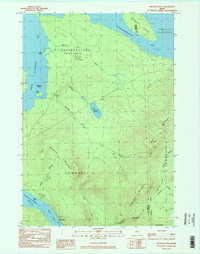
Editions of this 1984 Metallak Mtn Map
2 editions found
Other maps of this area

1927 · Rumford
USGS Topo · 1:48,000

1930 · Rumford
USGS Topo · 1:62,500

1933 · Rangeley
USGS Topo · 1:48,000

1939 · Rangeley
USGS Topo · 1:62,500

1940 · Oquossoc
USGS Topo · 1:62,500

1942 · Oquossoc
USGS Topo · 1:62,500

1943 · Old Speck Mtn
USGS Topo · 1:62,500

1945 · Old Speck Mtn
USGS Topo · 1:62,500

1949 · Rangeley
USGS Topo · 1:62,500

1950 · Lewiston
USGS Topo · 1:250,000