2010s Maps of Orono, Maine
Explore 12 historic maps of Orono from the 2010s. These maps offer a rare glimpse into what life looked like during the 2010s — showing old roads, neighborhoods, homes, and landmarks that have changed or disappeared over time.
Whether you're researching your family's past, planning a metal detecting trip, or studying how Orono's landscape evolved across the 2010s, these high-resolution maps are a powerful tool for exploring the history of this region.
- Focus on a specific era: All maps on this page are from the 2010s, giving you a focused view of this time period.
- See what’s changed: Compare century-old streets, trails, and buildings to today's modern landscape using overlays and satellite layers.
- Research with precision: Use these maps for genealogy, historical research, land use analysis, or educational projects.
- View, download, or print: Maps are fully viewable online in high resolution, and can be downloaded or printed for your own records.
Start exploring Orono's history through authentic maps from the 2010s. This is your window into the past.
Orono, ME maps
(12)- 2011 Map of Bangor, 2011 Print
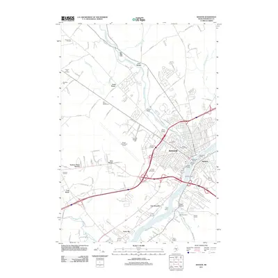 2011 Bangor2011 Print · USGSBangor and Brewer sit at the heart of the Penobscot River valley during the early 2000s, showing a blend of historic landmarks and modern transport hubs. Researchers can trace the layout of Northern Maine Junction or locate the iconic Thomas Hill Standpipe and Morse Covered Bridge.
 - 2011 Map of Old Town, 2011 Print
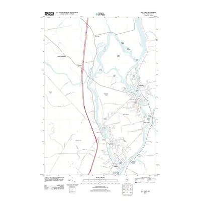 2011 Old Town2011 Print · USGSPenobscot River island communities and the University of Maine campus are shown here in the early 2000s. Genealogists and local historians can locate several riverfront burial sites like Woodlawn Cemetery and trace industrial landmarks such as Milford Dam.
 - 2011 Map of Veazie, 2011 Print
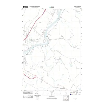 2011 Veazie2011 Print · USGSThe Penobscot River corridor comes into sharp focus during the early twenty-first century, revealing a landscape shaped by river power and community heritage. Genealogists can locate several burial sites, including Mount Hope Cemetery and Clewleyville Cemetery, while tracing local landmarks like the Veazie Dam.
 - 2011 Map of Pushaw Lake, 2011 Print
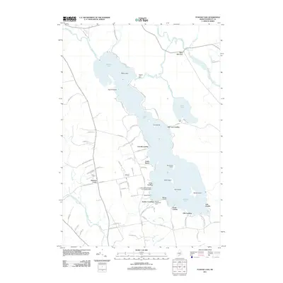 2011 Pushaw Lake2011 Print · USGSPushaw Lake and the surrounding landings in central Maine are shown here during a period of active lakeside settlement and recreation. Researchers can trace family-named points and early infrastructure like Lakeview Cemetery, the Pushaw Lake Dam, and the Lucky Landing Marina and Seaplane Base.
 - 2014 Map of Veazie, 2014 Print
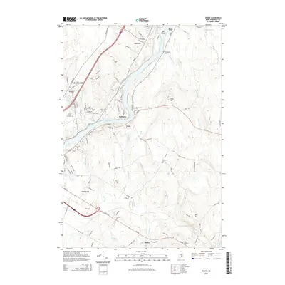 2014 Veazie2014 Print · USGSThe Penobscot River corridor reveals its modern character and deep-rooted heritage just north of the city. Genealogists and local historians can trace family locations through a dense network of burial grounds like Mt Hope Cem, N Brewer Cem, and Clewleyville Cem.
 - 2014 Map of Pushaw Lake, 2014 Print
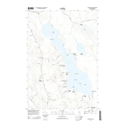 2014 Pushaw Lake2014 Print · USGSPenobscot County life centers on the water in this mid-2010s survey of the lake country north of the city. Genealogists and local historians can trace the lakeside developments and landings from Glenburn Center to Old Town Landing and Lakeview Cem.
 - 2014 Map of Bangor, 2014 Print
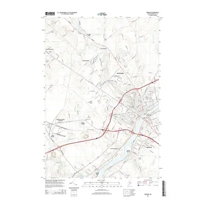 2014 Bangor2014 Print · USGSBangor and Brewer are captured in the early twenty-first century, showing the enduring importance of the Penobscot River to the region's layout. Researchers can trace local history through the many burial grounds like Oak Hill Cem or locate historical crossings such as the Morse Covered Bridge.
 - 2014 Map of Old Town, 2014 Print
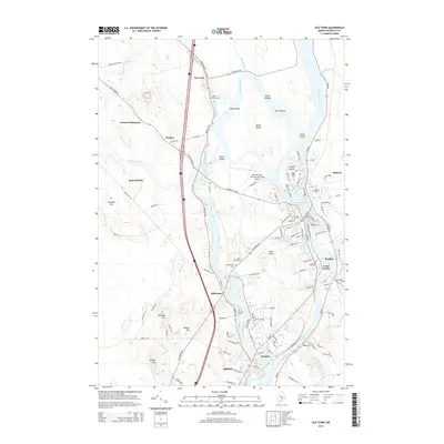 2014 Old Town2014 Print · USGSPenobscot County communities and the university campus center this mid-2010s study of the river's diverse islands and channels. Researchers can locate family heritage sites at Maple Grove Cem, explore the layout of Indian Island, or trace the campus borders of the Univ of Maine.
 - 2018 Map of Pushaw Lake, 2018 Print
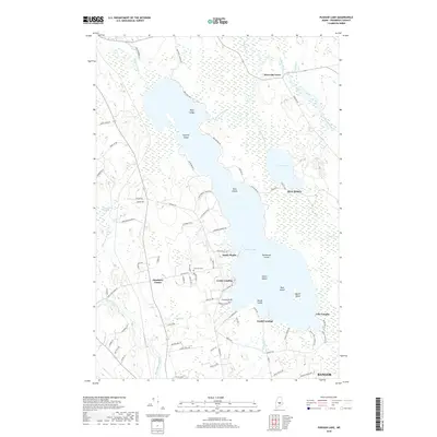 2018 Pushaw Lake2018 Print · USGSPushaw Lake and the northern outskirts of Bangor are shown here in the late 2010s, revealing a landscape shaped by its vast wetlands and lakeside communities. Local researchers can trace the shoreline landings and inland sites like Glenburn Center, Villa Vaughn, and Lakeview Cem.
 - 2018 Map of Old Town, 2018 Print
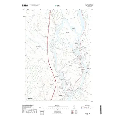 2018 Old Town2018 Print · USGSThe Penobscot River valley thrives as a hub of education and industry in this modern survey of the Orono and Old Town area. Researchers can trace historic riverfront communities like Stillwater and Great Works or locate local landmarks such as Indian Island and the Univ of Maine campus.
 - 2018 Map of Bangor, 2018 Print
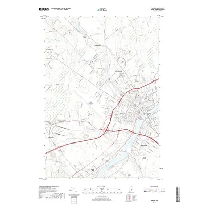 2018 Bangor2018 Print · USGSBangor and Brewer sit at a geographic crossroads in the late twenty-teens, defined by the tidal reaches of the Penobscot River. Researchers can trace the modern layout of the city's historic core, identifying landmarks like the Morse Covered Bridge, Chamberlain Bridge, and Bangor International Airport.
 - 2018 Map of Veazie, 2018 Print
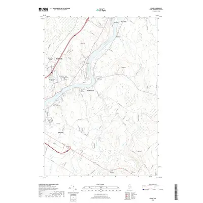 2018 Veazie2018 Print · USGSThe Penobscot River corridor comes alive in this contemporary survey, capturing the interconnected growth of Bangor, Veazie, and Brewer. Researchers can trace local heritage through a dense network of cemeteries like Mount Hope Cem and old landmarks such as Basin Mills.
End of results
Showing maps 1-12 of 12
Top cities near Orono
- Bangor historical maps
- Brewer historical maps
- Ellsworth historical maps
- Hampden historical maps
- Old Town historical maps
- Hermon historical maps
See more
Top neighborhoods of Orono
- Basin Mills historical maps
- Double A Landing historical maps
- Elliot Landing historical maps
- Gould Landing historical maps
- Villa Vaughn historical maps
- Webster historical maps
Frequently asked questions
- What are the different types of historical maps available for Orono?
- What is the oldest map of Orono?
- Where can I purchase historical maps of Orono for my home or office?
- Where can I download high-res historical maps of Orono?
- Are there historical topographic maps available for Orono?
- Is there historical aerial imagery available for Orono?
- Where are historical maps of Orono sourced from?