2000s (21st Century) Maps of T2 R9 NWP, Maine
Explore 20 historic maps of T2 R9 NWP from the 2000s (21st Century). These maps offer a rare glimpse into what life looked like during the 2000s — showing old roads, neighborhoods, homes, and landmarks that have changed or disappeared over time.
Whether you're researching your family's past, planning a metal detecting trip, or studying how T2 R9 NWP's landscape evolved across the 2000s, these high-resolution maps are a powerful tool for exploring the history of this region.
- Focus on a specific era: All maps on this page are from the 2000s, giving you a focused view of this time period.
- See what’s changed: Compare century-old streets, trails, and buildings to today's modern landscape using overlays and satellite layers.
- Research with precision: Use these maps for genealogy, historical research, land use analysis, or educational projects.
- View, download, or print: Maps are fully viewable online in high resolution, and can be downloaded or printed for your own records.
Start exploring T2 R9 NWP's history through authentic maps from the 2000s. This is your window into the past.
T2 R9 NWP, ME maps
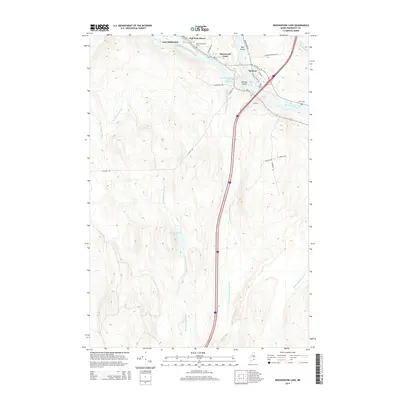
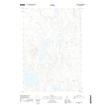
(20)- 2011 Map of Nollesemic Lake, 2011 Print
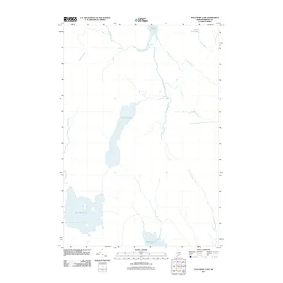 2011 Nollesemic Lake2011 Print · USGSCovers T2 R9 NWP, including Millinocket, T3 Indian Purchase Township, and other nearby areas
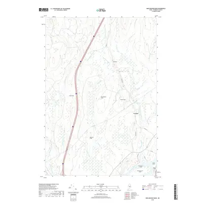
 - 2011 Map of Nine Meadow Ridge, 2011 Print
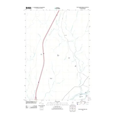 2011 Nine Meadow Ridge2011 Print · USGSCovers T2 R9 NWP, including Lincoln, Chester, and other nearby areas
 - 2011 Map of Medunkeunk Lake, 2011 Print
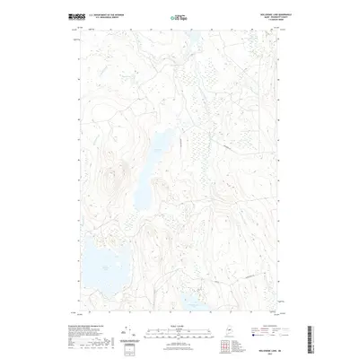
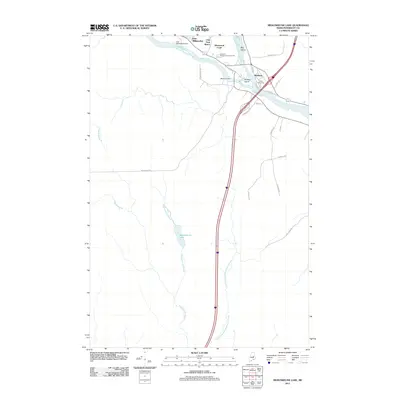 2011 Medunkeunk Lake2011 Print · USGSCovers T2 R9 NWP, including East Millinocket, Medway, and other nearby areas
 - 2011 Map of Mattamiscontis Mountain, 2011 Print
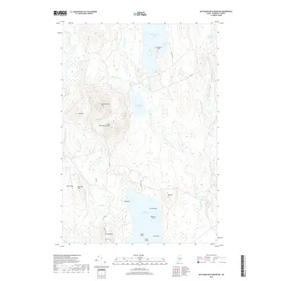
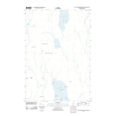 2011 Mattamiscontis Mountain2011 Print · USGSCovers T2 R9 NWP, including Seboeis Plantation, Cedar Lake Township, and other nearby areas
 - 2014 Map of Nine Meadow Ridge, 2014 Print
 2014 Nine Meadow Ridge2014 Print · USGSCovers T2 R9 NWP, including Lincoln, Chester, and other nearby areas
 - 2014 Map of Mattamiscontis Mountain, 2014 Print
 2014 Mattamiscontis Mountain2014 Print · USGSCovers T2 R9 NWP, including Seboeis Plantation, Cedar Lake Township, and other nearby areas
 - 2014 Map of Medunkeunk Lake, 2014 Print
 2014 Medunkeunk Lake2014 Print · USGSCovers T2 R9 NWP, including East Millinocket, Medway, and other nearby areas
 - 2014 Map of Nollesemic Lake, 2014 Print
 2014 Nollesemic Lake2014 Print · USGSCovers T2 R9 NWP, including Millinocket, T3 Indian Purchase Township, and other nearby areas
 - 2018 Map of Mattamiscontis Mountain, 2018 Print
 2018 Mattamiscontis Mountain2018 Print · USGSCovers T2 R9 NWP, including Seboeis Plantation, Cedar Lake Township, and other nearby areas
 - 2018 Map of Nollesemic Lake, 2018 Print
 2018 Nollesemic Lake2018 Print · USGSCovers T2 R9 NWP, including Millinocket, T3 Indian Purchase Township, and other nearby areas
 - 2018 Map of Nine Meadow Ridge, 2018 Print
 2018 Nine Meadow Ridge2018 Print · USGSCovers T2 R9 NWP, including Lincoln, Chester, and other nearby areas
 - 2018 Map of Medunkeunk Lake, 2018 Print
 2018 Medunkeunk Lake2018 Print · USGSCovers T2 R9 NWP, including East Millinocket, Medway, and other nearby areas
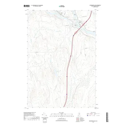
 - 2021 Map of Medunkeunk Lake, 2021 Print
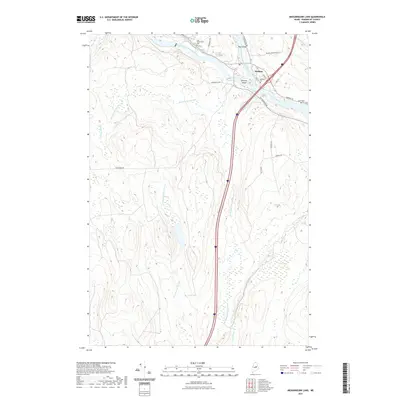 2021 Medunkeunk Lake2021 Print · USGSCovers T2 R9 NWP, including East Millinocket, Medway, and other nearby areas
 - 2021 Map of Nine Meadow Ridge, 2021 Print
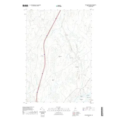 2021 Nine Meadow Ridge2021 Print · USGSCovers T2 R9 NWP, including Lincoln, Chester, and other nearby areas
 - 2021 Map of Nollesemic Lake, 2021 Print
 2021 Nollesemic Lake2021 Print · USGSCovers T2 R9 NWP, including Millinocket, T3 Indian Purchase Township, and other nearby areas
 - 2021 Map of Mattamiscontis Mountain, 2021 Print
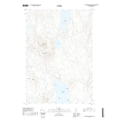 2021 Mattamiscontis Mountain2021 Print · USGSCovers T2 R9 NWP, including Seboeis Plantation, Cedar Lake Township, and other nearby areas
 - 2024 Map of Medunkeunk Lake, 2024 Print
 2024 Medunkeunk Lake2024 Print · USGSPenobscot County at the confluence of the rivers shows the legacy of Maine’s water and timber networks. Researchers can trace local lineage at Medway Cem or Lynch Cem and follow the paths of Medunkeunk Stream through Inman Bog.
 - 2024 Map of Nine Meadow Ridge, 2024 Print
 2024 Nine Meadow Ridge2024 Print · USGSThe Penobscot River and its wooded islands define this area of Maine in the 2020s. Researchers can trace land patterns near Lincoln and Chester or locate landmarks like Horseback and Mattanawcook Island.
 - 2024 Map of Nollesemic Lake, 2024 Print
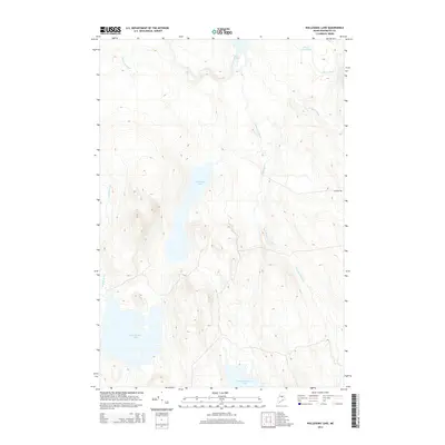
 2024 Nollesemic Lake2024 Print · USGSPenobscot County in the twenty-first century remains a landscape of intricate waterways and dense forest. Modern researchers can trace the course of the West Branch Penobscot River and locate remote features like Grand Falls and Quakish Bog.
 - 2024 Map of Mattamiscontis Mountain, 2024 Print
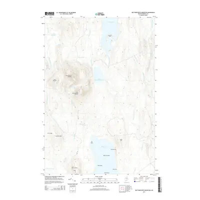
 2024 Mattamiscontis Mountain2024 Print · USGSPenobscot County in the early 2020s remains a landscape of high ridges and deep woods. You can trace the shorelines of Mattamiscontis Lake and South Branch Lake, locate the remote Seboeis Cem, and follow the timber tracks around Mattamiscontis Mountain.
End of results
Showing maps 1-20 of 20
Top cities near T2 R9 NWP
- Lincoln historical maps
- Millinocket historical maps
- East Millinocket historical maps
- Enfield historical maps
- Medway historical maps
- Howland historical maps
See more
Frequently asked questions
- What are the different types of historical maps available for T2 R9 NWP?
- What is the oldest map of T2 R9 NWP?
- Where can I purchase historical maps of T2 R9 NWP for my home or office?
- Where can I download high-res historical maps of T2 R9 NWP?
- Are there historical topographic maps available for T2 R9 NWP?
- Is there historical aerial imagery available for T2 R9 NWP?
- Where are historical maps of T2 R9 NWP sourced from?