Old Maps of T3 R7 WELS, Maine for Genealogy
Trace your family roots with 33 historic maps of T3 R7 WELS. These high-res maps reveal old neighborhoods, homesites, landmarks, and streets — helping you uncover where your ancestors lived and how the area evolved over time.
- Explore historic neighborhoods: Identify where your relatives may have lived in the 1800s or 1900s.
- Compare maps over time: Trace the changes in streets, buildings, and landmarks for multi-generational research.
- Perfect for genealogy & ancestry research: Used by family historians and researchers to map out lineage and migration.
These maps are an incredible resource for exploring your personal connection to T3 R7 WELS's past.
T3 R7 WELS, ME maps
(33)- 1953 Map of Stacyville, 1956 Print
 1953 Stacyville1956 Print · USGSThe North Woods of Penobscot County come into focus during the early 1950s, showing a landscape of logging camps and mountain lookouts. Researchers can locate remote sites like Hunt Farm, the Fire Tower on Deasey Mtn, and the old Deasey Dam along the riverbanks.4 unique versions available
 - 1954 Map of Millinocket, 1968 Print
 1954 Millinocket1968 Print · USGSMaine's North Woods and the Penobscot Valley are captured here during the mid-century era of logging and rail dominance. You can trace the path of the Bangor and Aroostook Railroad through timber towns like Millinocket, Mattawamkeag, and Silver Ridge.3 unique versions available
 - 1958 Map of Millinocket
 1958 Millinocket1958 Print · USGSMaine's North Woods and the Penobscot river valley are captured here in the mid-1950s, showing a landscape of timber, rail, and wild waters. Researchers can trace the legacy of the Canadian Pacific railroad and find historic settlements like Millinocket, Sherman Station, and Mattawamkeag.
 - 1960 Map of Millinocket
 1960 Millinocket1960 Print · USGSThe Maine North Woods and Penobscot River valley are captured at mid-century during the height of the paper milling era. Researchers can trace the Appalachian Trail near Mount Katardin or locate family roots in towns like Dover-Foxcroft and Milo.3 unique versions available
 - 1975 Map of Stacyville NW, 1980 Print
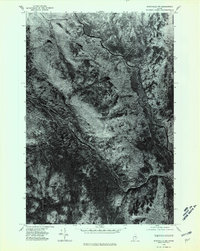 1975 Stacyville NW1980 Print · USGSPenobscot County, Maine, is captured in the mid-1970s through this aerial orthophotograph focused on the upper Penobscot watershed. Researchers can trace the winding East Branch Penobscot River and the confluence of the Wassataquoik Stream near Lunksoos Mountain.
 - 1975 Map of Stacyville NE, 1980 Print
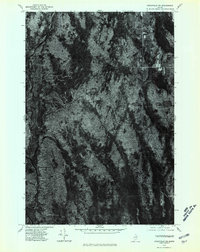 1975 Stacyville NE1980 Print · USGSPenobscot County timberlands are seen in detail in the mid-1970s, revealing the dense woods and waterways of this remote Maine landscape. You can locate Lunksoos Camp and trace the paths of the local River and Stream.
 - 1975 Map of Stacyville SE, 1980 Print
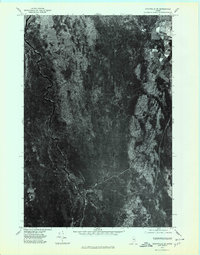 1975 Stacyville SE1980 Print · USGSPenobscot County timberlands are shown in sharp aerial detail during the mid-seventies, just as the regional landscape was being documented via orthophotography. Researchers can trace the edges of Stacyville and the winding courses of Mud Brook and Hay Brook.
 - 1975 Map of Stacyville SW, 1980 Print
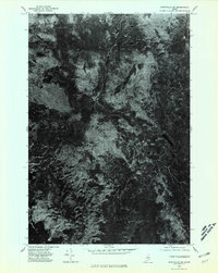 1975 Stacyville SW1980 Print · USGSPenobscot County in the mid-seventies remains a landscape of dense timber and quiet water in this aerial survey. Modern researchers can study the untouched forest canopy and natural shorelines around Millinocket Lake, Kelloch Mountain, and Whetstone Mountain.
 - 1985 Map of Millinocket, 1986 Print
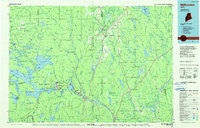 1985 Millinocket1986 Print · USGSThe North Maine Woods were a landscape of industrial timber and wilderness recreation in the mid-eighties. Genealogists and researchers can trace local settlements and rail stops like Sherman Mills, Wytopitlock, and the Old Long A Siding near the Penobscot River.2 unique versions available
 - 1989 Map of Stacyville
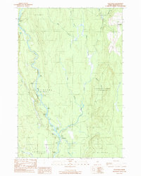 1989 Stacyville1989 Print · USGSPenobscot County’s river-driven geography is recorded here in the late eighties, focusing on the townships surrounding the East Branch. Genealogists and river historians can locate the Stacyville settlement and trace the specific logans of the East Branch Penobscot River, including Spring Logan and Beer Logan.
 - 1989 Map of Whetstone Mountain
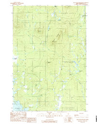 1989 Whetstone Mountain1989 Print · USGSPenobscot County timberlands and remote ponds are captured here in the late eighties during a period of transition for Maine's North Woods. Trace the complex waterways around Millinocket Lake and locate landmarks like Whetstone Mountain or the remote Soldier Pond.
 - 1989 Map of Deasey Mountain
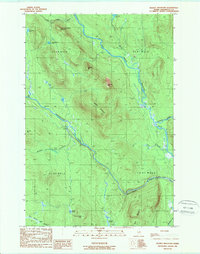 1989 Deasey Mountain1989 Print · USGSPenobscot County, Maine, is shown in the late 1980s as a wild landscape of intersecting rivers and prominent peaks. Researchers can trace the rugged topography of Deasey Mountain and the confluence of the East Branch Penobscot River with Wassataquoik Stream.2 unique versions available
 - 1989 Map of Lookout Mountain
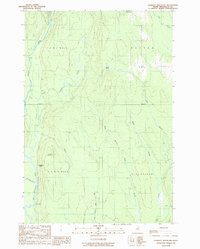 1989 Lookout Mountain1989 Print · USGSNorth of the Penobscot forks in the 1980s, this area shows a landscape of timberlands and river camps. Researchers can trace the Monument Line and locate isolated outposts like Lunksoos Camp, Hunt Farm, and the winding Seboeis River.
 - 2011 Map of Lookout Mountain, 2011 Print
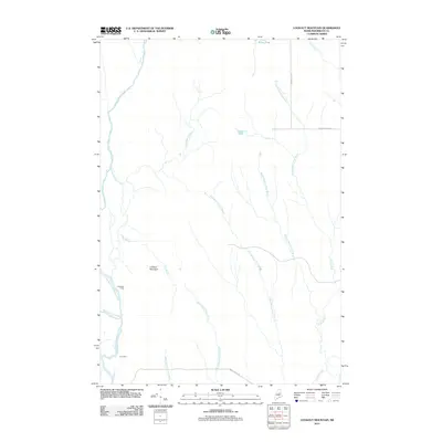 2011 Lookout Mountain2011 Print · USGSPenobscot and Maine-Penobscot territory is shown here at the start of the 2010s, focused on the river-fed backcountry. You can locate isolated landmarks like Hunt Farm and Lunksoos Camp or trace the Seboeis River through the woods.
 - 2011 Map of Deasey Mountain, 2011 Print
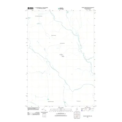 2011 Deasey Mountain2011 Print · USGSThe northern Maine wilderness of Penobscot County remains a landscape of high peaks and powerful waterways in the early twenty-first century. Researchers can trace the rugged topography of the Deasey Mountain Lookout Tower, follow the course of the East Branch Penobscot River, or locate remote features like Orin Falls.
 - 2011 Map of Stacyville, 2011 Print
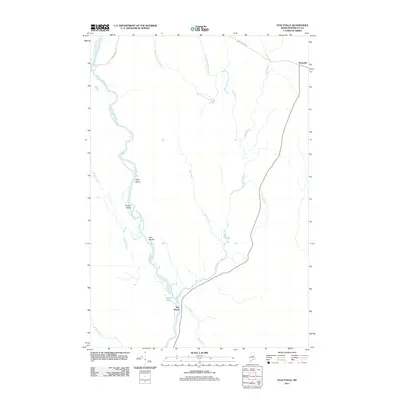 2011 Stacyville2011 Print · USGSPenobscot County’s river-carved interior is documented in this early twenty-first-century survey of the Maine woods. Local historians can trace the course of the East Branch Penobscot River past Whetstone Falls and the settlement at Stacyville.
 - 2011 Map of Whetstone Mountain, 2011 Print
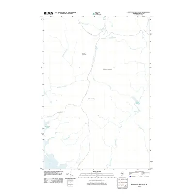 2011 Whetstone Mountain2011 Print · USGSPenobscot County’s deep woods appear in high detail during the early 2010s, showcasing a landscape of timber ridges and remote water. Trace the logging routes of Stacyville Rd and Swift Brook Rd as they pass Whetstone Mountain and Millinocket Lake.
 - 2014 Map of Lookout Mountain, 2014 Print
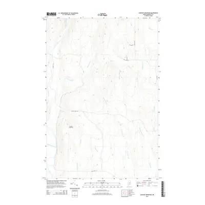 2014 Lookout Mountain2014 Print · USGSPenobscot County’s timberlands and river networks are captured here in the early twenty-first century. Researchers can trace the paths of Sherman Lumber Rd and Happy Corner Rd as they navigate the drainages of Swift Brook and the Seboeis River.
 - 2014 Map of Whetstone Mountain, 2014 Print
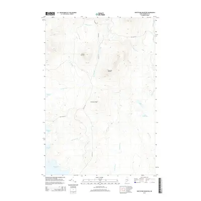 2014 Whetstone Mountain2014 Print · USGSPenobscot County’s wild backcountry is captured here in the early twenty-first century, showcasing the terrain between the mountains and the Great North Woods. Researchers can trace the logging corridors of Stacyville Rd and the waterways of Sandbank Stream and Millinocket Lake.
 - 2014 Map of Stacyville, 2014 Print
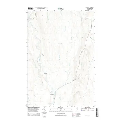 2014 Stacyville2014 Print · USGSPenobscot County is captured here in the early twenty-first century, showing a landscape defined by the winding East Branch Penobscot River. Genealogists and local historians can trace the roads around Stacyville or locate river features like Whetstone Falls and Deer Island.
 - 2014 Map of Deasey Mountain, 2014 Print
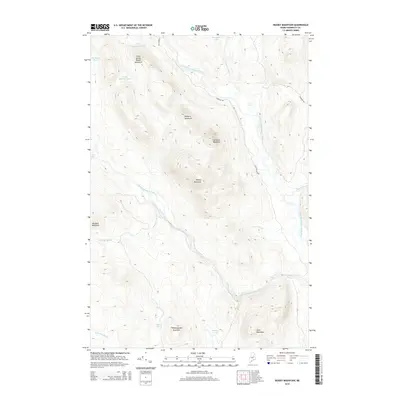 2014 Deasey Mountain2014 Print · USGSPenobscot County in the early twenty-first century remains a wilderness of interconnected peaks and river valleys. Researchers can trace the winding course of the East Branch Penobscot River past landmarks like Deasey Mountain and the rapids at Orin Falls.
 - 2018 Map of Whetstone Mountain, 2018 Print
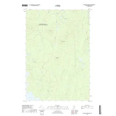 2018 Whetstone Mountain2018 Print · USGSPenobscot County wilderness is shown here just as the national monument was established. Genealogists and historians can trace the logging roads and waterways like Stacyville Rd, Millinocket Lake, and the peaks of Whetstone Mtn.
 - 2018 Map of Deasey Mountain, 2018 Print
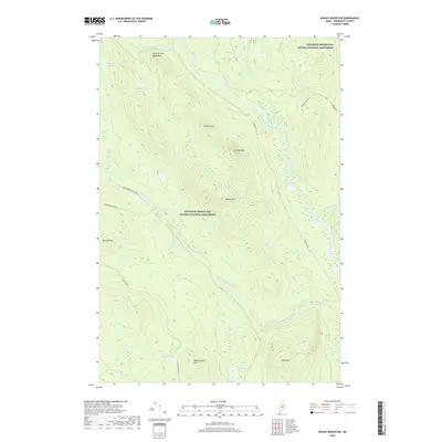 2018 Deasey Mountain2018 Print · USGSPenobscot County's northern wilderness is captured here in the years following the designation of the Katahdin Woods and Waters National Monument. Trace the rugged timber and river landscape through landmarks like Deasey Mtn, Orin Falls, and the East Branch Penobscot River.
 - 2018 Map of Stacyville, 2018 Print
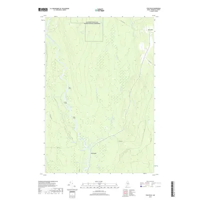 2018 Stacyville2018 Print · USGSPenobscot County timberlands and river corridors are preserved in this recent survey of the Stacyville area. Researchers can trace the complex wetlands of Crowfoot Bog and follow the East Branch Penobscot River past Whetstone Falls.
 - 2018 Map of Lookout Mountain, 2018 Print
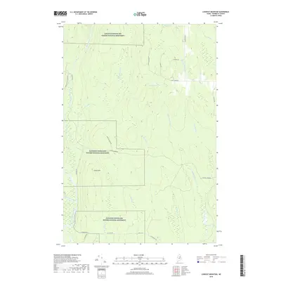 2018 Lookout Mountain2018 Print · USGSThe North Woods of Penobscot County are preserved in this 2018 survey, showing the complex river systems and forest tracks before further development. Genealogists and historians can trace the paths of the Seboeis River, identify local routes like Happy Corner Rd, and locate landmarks such as Lookout Mtn.
Showing maps 1-25 of 33
Top cities near T3 R7 WELS
- Millinocket historical maps
- Patten historical maps
- Sherman historical maps
- Stacyville historical maps
- Crystal historical maps
- Mount Chase historical maps
See more
Frequently asked questions
- What are the different types of historical maps available for T3 R7 WELS?
- What is the oldest map of T3 R7 WELS?
- Where can I purchase historical maps of T3 R7 WELS for my home or office?
- Where can I download high-res historical maps of T3 R7 WELS?
- Are there historical topographic maps available for T3 R7 WELS?
- Is there historical aerial imagery available for T3 R7 WELS?
- Where are historical maps of T3 R7 WELS sourced from?