
1960 Map of Millinocket
USGS Topo · Published 1960About this map
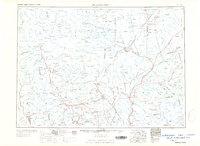
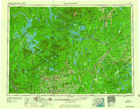
Mount Katardin towers over the northern Maine woods, anchoring the protected expanse of Baxter State Park. This mid-century survey documents a landscape defined by the logging and paper industry, centered on the mill towns of Millinocket and East Millinocket along the West Branch Penobscot River. The region's vast hydrography is mapped in detail, from the massive Moosehead Lake to Chesuncook Lake and the complex of reservoirs powering downstream industries.
Find a feature on this map
113 named features on this map. Tap any name to fly to it.
Don’t see what you’re looking for? This feature index may not catch every label — zoom into the map to look around manually.
Map Details
Editions of this 1960 Millinocket Map
3 editions found
Other maps of this area

1902 · Orono
USGS Topo · 1:62,500

1902 · Bangor
USGS Topo · 1:62,500

1903 · Bingham
USGS Topo · 1:62,500

1904 · Anson
USGS Topo · 1:62,500

1905 · Bingham
USGS Topo · 1:62,500

1905 · The Forks
USGS Topo · 1:62,500

1907 · The Forks
USGS Topo · 1:62,500

1913 · Skowhegan
USGS Topo · 1:62,500

1917 · Passadumkeag
USGS Topo · 1:62,500

1920 · Winn
USGS Topo · 1:62,500