2000s (21st Century) Maps of Barnard Township, Maine
Explore 15 historic maps of Barnard Township from the 2000s (21st Century). These maps offer a rare glimpse into what life looked like during the 2000s — showing old roads, neighborhoods, homes, and landmarks that have changed or disappeared over time.
Whether you're researching your family's past, planning a metal detecting trip, or studying how Barnard Township's landscape evolved across the 2000s, these high-resolution maps are a powerful tool for exploring the history of this region.
- Focus on a specific era: All maps on this page are from the 2000s, giving you a focused view of this time period.
- See what’s changed: Compare century-old streets, trails, and buildings to today's modern landscape using overlays and satellite layers.
- Research with precision: Use these maps for genealogy, historical research, land use analysis, or educational projects.
- View, download, or print: Maps are fully viewable online in high resolution, and can be downloaded or printed for your own records.
Start exploring Barnard Township's history through authentic maps from the 2000s. This is your window into the past.
Barnard Township, ME maps
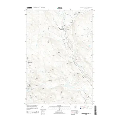
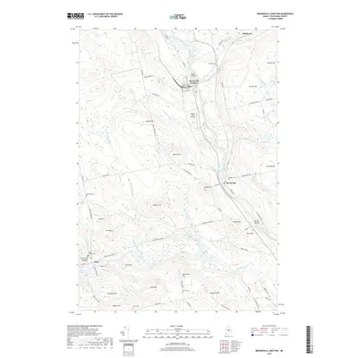
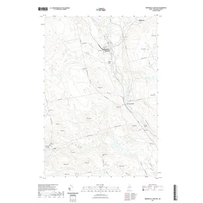
(15)- 2011 Map of Brownville Junction, 2011 Print
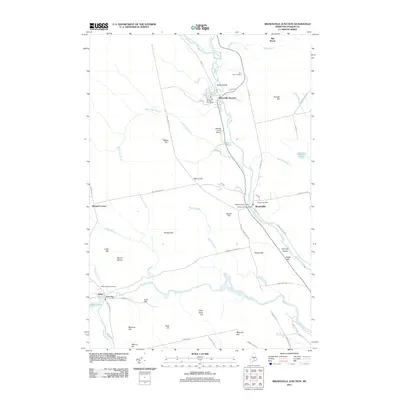 2011 Brownville Junction2011 Print · USGSCovers Barnard Township, including Milo, Brownville, and other nearby areas
 - 2011 Map of Silver Lake, 2011 Print
 2011 Silver Lake2011 Print · USGSCovers Barnard Township, including Bowerbank, Williamsburg Township, and other nearby areas
 - 2011 Map of Sebec Lake East, 2011 Print
 2011 Sebec Lake East2011 Print · USGSCovers Barnard Township, including Dover-Foxcroft, Sebec, and other nearby areas
 - 2014 Map of Silver Lake, 2014 Print
 2014 Silver Lake2014 Print · USGSCovers Barnard Township, including Bowerbank, Williamsburg Township, and other nearby areas
 - 2014 Map of Brownville Junction, 2014 Print
 2014 Brownville Junction2014 Print · USGSCovers Barnard Township, including Milo, Brownville, and other nearby areas
 - 2014 Map of Sebec Lake East, 2014 Print
 2014 Sebec Lake East2014 Print · USGSCovers Barnard Township, including Dover-Foxcroft, Sebec, and other nearby areas
 - 2018 Map of Sebec Lake East, 2018 Print
 2018 Sebec Lake East2018 Print · USGSCovers Barnard Township, including Dover-Foxcroft, Sebec, and other nearby areas
 - 2018 Map of Brownville Junction, 2018 Print
 2018 Brownville Junction2018 Print · USGSCovers Barnard Township, including Milo, Brownville, and other nearby areas
 - 2018 Map of Silver Lake, 2018 Print
 2018 Silver Lake2018 Print · USGSCovers Barnard Township, including Bowerbank, Williamsburg Township, and other nearby areas
 - 2021 Map of Sebec Lake East, 2021 Print
 2021 Sebec Lake East2021 Print · USGSCovers Barnard Township, including Dover-Foxcroft, Sebec, and other nearby areas
 - 2021 Map of Brownville Junction, 2021 Print
 2021 Brownville Junction2021 Print · USGSCovers Barnard Township, including Milo, Brownville, and other nearby areas
 - 2021 Map of Silver Lake, 2021 Print
 2021 Silver Lake2021 Print · USGSCovers Barnard Township, including Bowerbank, Williamsburg Township, and other nearby areas
 - 2024 Map of Brownville Junction, 2024 Print
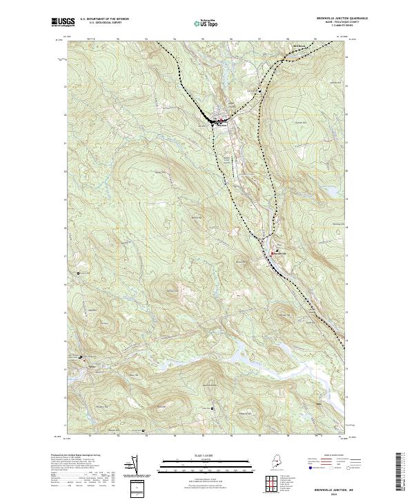 2024 Brownville Junction2024 Print · USGSMaine's industrial and river heartland comes into focus in this recent study of the Piscataquis County landscape. Researchers can trace the Canadian Pacific RR corridor through Brownville Junction or locate family plots at Pine Tree Cem and Barnard Cem.
 - 2024 Map of Sebec Lake East, 2024 Print
 2024 Sebec Lake East2024 Print · USGSThe northern reaches of Sebec Lake are captured here in a modern landscape of quiet settlements and dense woodland. Researchers can trace family history at the Bowerbank Community Cem or explore the shores of Buttermilk Pond and Dexter Mill Pond.
 - 2024 Map of Silver Lake, 2024 Print
 2024 Silver Lake2024 Print · USGSPiscataquis County’s high peaks and remote waterways are documented here in the 2020s, showing the landscape surrounding the historic iron works route. Researchers can locate the Elder Grey Cem and trace the paths around Silver Lake, Ore Mtn, and Big Houston Pond.
End of results
Showing maps 1-15 of 15
Top cities near Barnard Township
- Dover-Foxcroft historical maps
- Milo historical maps
- Charleston historical maps
- Sangerville historical maps
- Guilford historical maps
- Bradford historical maps
See more
Top neighborhoods of Barnard Township
Frequently asked questions
- What are the different types of historical maps available for Barnard Township?
- What is the oldest map of Barnard Township?
- Where can I purchase historical maps of Barnard Township for my home or office?
- Where can I download high-res historical maps of Barnard Township?
- Are there historical topographic maps available for Barnard Township?
- Is there historical aerial imagery available for Barnard Township?
- Where are historical maps of Barnard Township sourced from?