Old Maps of Lake View, Lake View Plantation for Genealogy
Trace your family roots with 14 historic maps of Lake View. These high-res maps reveal old neighborhoods, homesites, landmarks, and streets — helping you uncover where your ancestors lived and how the area evolved over time.
- Explore historic neighborhoods: Identify where your relatives may have lived in the 1800s or 1900s.
- Compare maps over time: Trace the changes in streets, buildings, and landmarks for multi-generational research.
- Perfect for genealogy & ancestry research: Used by family historians and researchers to map out lineage and migration.
These maps are an incredible resource for exploring your personal connection to Lake View's past.
Lake View, Lake View Plantation maps
(14)- 1947 Map of Schoodic, 1956 Print
 1947 Schoodic1956 Print · USGSPiscataquis County in the late 1940s is shown here as a landscape of timber, rail, and isolated lake settlements. Genealogists and historians can trace old homesteads and landmarks like Evergreen Cem, the Maxfield Sch, and the rail stops at Packards or Lake View.3 unique versions available
 - 1949 Map of Schoodic
 1949 Schoodic1949 Print · USGSThe rail-and-river network of central Maine is captured here just after the war, showing the junction of two major rail lines. Genealogists and historians can trace old community sites like Lake View, Knights Landing, and the Maxfield Sch.2 unique versions available
 - 1954 Map of Millinocket, 1968 Print
 1954 Millinocket1968 Print · USGSMaine's North Woods and the Penobscot Valley are captured here during the mid-century era of logging and rail dominance. You can trace the path of the Bangor and Aroostook Railroad through timber towns like Millinocket, Mattawamkeag, and Silver Ridge.3 unique versions available
 - 1958 Map of Millinocket
 1958 Millinocket1958 Print · USGSMaine's North Woods and the Penobscot river valley are captured here in the mid-1950s, showing a landscape of timber, rail, and wild waters. Researchers can trace the legacy of the Canadian Pacific railroad and find historic settlements like Millinocket, Sherman Station, and Mattawamkeag.
 - 1960 Map of Millinocket
 1960 Millinocket1960 Print · USGSThe Maine North Woods and Penobscot River valley are captured at mid-century during the height of the paper milling era. Researchers can trace the Appalachian Trail near Mount Katardin or locate family roots in towns like Dover-Foxcroft and Milo.3 unique versions available
 - 1978 Map of Milo North, 1981 Print
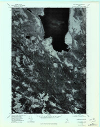 1978 Milo North1981 Print · USGSThe shorelines of Piscataquis County appear in stark aerial detail during the late seventies, centered on the massive Schoodic Lake. Local historians can trace the lakeside settlements of Lake View and Adams or the southern river junctions near Milo.
 - 1985 Map of Lincoln, 1994 Print
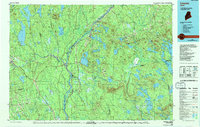 1985 Lincoln1994 Print · USGSPenobscot County in the mid-eighties remains a landscape of river-based commerce and sprawling timberlands connected by rail. You can trace the historic paths of the Maine Central RR and Canadian Pacific RR or locate rural sites like Enfield Station and the Winn Cem.
 - 1986 Map of Lincoln
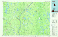 1986 Lincoln1986 Print · USGSMid-century Maine settlement and industry converge along the Penobscot and Piscataquis rivers during the 1980s. Researchers can trace the rail networks of the Maine Central and Bangor and Aroostook through towns like Howland and Milo.
 - 1988 Map of Milo North
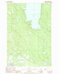 1988 Milo North1988 Print · USGSPiscataquis County's river valleys and wooded lakefronts are shown here in the late eighties, just as the landscape around Milo remained defined by its waterways. Researchers can trace the three-river confluence and find local landmarks like Knights Landing, Adams, and the Cem.
 - 2011 Map of Milo North, 2011 Print
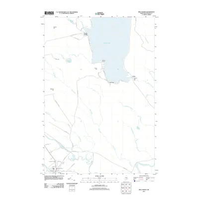 2011 Milo North2011 Print · USGSMilo and its surrounding river valleys are captured here in the early twenty-first century as the local landscape transitions between industrial heritage and lakeside recreation. Genealogists and researchers can trace local landmarks from Evergreen Cemetery to the docks of Knights Landing and the Milo Dam.
 - 2014 Map of Milo North, 2014 Print
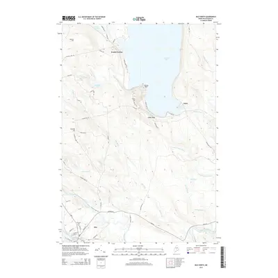 2014 Milo North2014 Print · USGSThe Piscataquis County riverlands and the southern reaches of Schoodic Lake are captured here in the early twenty-first century. Genealogists and local historians can trace the streets of Milo, locate Evergreen Cem, and explore lakeside settlements like Knights Landing.
 - 2018 Map of Milo North, 2018 Print
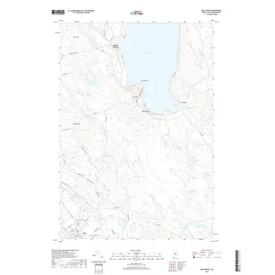 2018 Milo North2018 Print · USGSMilo and the surrounding Piscataquis County river valleys are documented here in the late twenty-teens, showing the town at the meeting of three rivers. Researchers can locate family landmarks like Evergreen Cem or trace the shores of Schoodic Lake near Knights Landing and Lake View.
 - 2021 Map of Milo North, 2021 Print
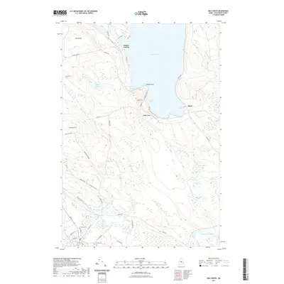 2021 Milo North2021 Print · USGSPiscataquis County's river-rich landscape is captured here in the early twenty-first century as the Pleasant River and Sebec River meet. Genealogists and hikers can trace old routes to Evergreen Cem or explore the shoreline at Lake View.
 - 2024 Map of Milo North, 2024 Print
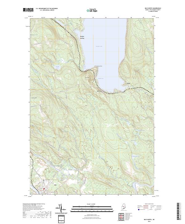 2024 Milo North2024 Print · USGSThe river confluence at Milo and the expansive shores of Schoodic Lake define this Maine landscape in the 2020s. Genealogists and local researchers can locate Evergreen Cem and trace old routes to Knights Landing or Lake View.
End of results
Showing maps 1-14 of 14
Top cities near Lake View
- Dover-Foxcroft historical maps
- Milo historical maps
- Charleston historical maps
- Bradford historical maps
- Brownville historical maps
- Howland historical maps
See more
Frequently asked questions
- What are the different types of historical maps available for Lake View?
- What is the oldest map of Lake View?
- Where can I purchase historical maps of Lake View for my home or office?
- Where can I download high-res historical maps of Lake View?
- Are there historical topographic maps available for Lake View?
- Is there historical aerial imagery available for Lake View?
- Where are historical maps of Lake View sourced from?