Old Maps of T2 R10 WELS, Maine for Genealogy
Trace your family roots with 24 historic maps of T2 R10 WELS. These high-res maps reveal old neighborhoods, homesites, landmarks, and streets — helping you uncover where your ancestors lived and how the area evolved over time.
- Explore historic neighborhoods: Identify where your relatives may have lived in the 1800s or 1900s.
- Compare maps over time: Trace the changes in streets, buildings, and landmarks for multi-generational research.
- Perfect for genealogy & ancestry research: Used by family historians and researchers to map out lineage and migration.
These maps are an incredible resource for exploring your personal connection to T2 R10 WELS's past.
T2 R10 WELS, ME maps
(24)- 1927 Map of Katahdin
 1927 Katahdin1927 Print · USGSNorthern Maine during the late 1920s offered a landscape of wilderness outposts and towering peaks within the Katahdin Park Game Preserve. Trace old logging ways and early recreation spots like Traceys Camp, Pitmans Garage, and Monument Peak.
 - 1930 Map of Katahdin
 1930 Katahdin1930 Print · USGSBackcountry Maine in the late 1920s offered a rugged landscape of newly surveyed trails and remote outposts. You can trace the early paths to Mount Katahdin and locate historic sites like Sewell Camp, Katahdin Lake Camp, and New City.6 unique versions available
 - 1949 Map of Katahdin, 1955 Print
 1949 Katahdin1955 Print · USGSThe Maine North Woods in the late 1940s centers on the rise of Baxter State Park and the towering peak of Mount Katahdin. Researchers can trace early backcountry infrastructure like Joe Francis Camp, the Tote Road, and the original Abol Campsite.10 unique versions available
 - 1954 Map of Harrington Lake, 1956 Print
 1954 Harrington Lake1956 Print · USGSThe North Woods of the 1950s come alive in this survey of the Penobscot river system and its rugged interior peaks. Trace the early path of the Appalachian Trail past Rainbow Lake or locate the infrastructure at Ripogenus Dam and the Forest Service Camp.5 unique versions available
 - 1954 Map of Millinocket, 1968 Print
 1954 Millinocket1968 Print · USGSMaine's North Woods and the Penobscot Valley are captured here during the mid-century era of logging and rail dominance. You can trace the path of the Bangor and Aroostook Railroad through timber towns like Millinocket, Mattawamkeag, and Silver Ridge.3 unique versions available
 - 1958 Map of Millinocket
 1958 Millinocket1958 Print · USGSMaine's North Woods and the Penobscot river valley are captured here in the mid-1950s, showing a landscape of timber, rail, and wild waters. Researchers can trace the legacy of the Canadian Pacific railroad and find historic settlements like Millinocket, Sherman Station, and Mattawamkeag.
 - 1960 Map of Millinocket
 1960 Millinocket1960 Print · USGSThe Maine North Woods and Penobscot River valley are captured at mid-century during the height of the paper milling era. Researchers can trace the Appalachian Trail near Mount Katardin or locate family roots in towns like Dover-Foxcroft and Milo.3 unique versions available
 - 1978 Map of Abol Pond, 1981 Print
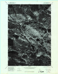 1978 Abol Pond1981 Print · USGSPiscataquis County's deep woods and water routes are revealed in this late-seventies aerial survey. Trace the winding West Branch Penobscot River or explore the shorelines of Abol Pond and First Debsconeag Lake.
 - 1978 Map of Rainbow Lake East, 1981 Print
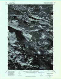 1978 Rainbow Lake East1981 Print · USGSPiscataquis County's deep woods and glacial waters are captured in this late-seventies aerial study of the Maine wilderness. Researchers can trace the rugged shoreline of Rainbow Lake and the winding course of the West Branch Penobscot River.
 - 1985 Map of Moosehead Lake, 1986 Print
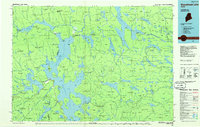 1985 Moosehead Lake1986 Print · USGSThe Maine North Woods in the 1980s remain a landscape of vast timberlands, railroads, and the sprawling waters of the state's largest lake. Researchers can trace the Canadian Pacific line through Rockwood or locate historical townships from Seboomook to Kokadjo.
 - 1985 Map of Millinocket, 1986 Print
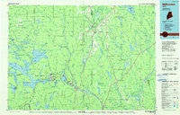 1985 Millinocket1986 Print · USGSThe North Maine Woods were a landscape of industrial timber and wilderness recreation in the mid-eighties. Genealogists and researchers can trace local settlements and rail stops like Sherman Mills, Wytopitlock, and the Old Long A Siding near the Penobscot River.2 unique versions available
 - 1988 Map of Abol Pond
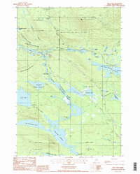 1988 Abol Pond1988 Print · USGSThe southern gateway to the Maine wilderness is preserved here in the late eighties, showing the slopes of Mt Katahdin. Hikers and historians can trace the Appalachian National Scenic Trail as it passes Abol Pond and the Abol Deadwater Campground.2 unique versions available
 - 1988 Map of Rainbow Lake East
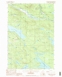 1988 Rainbow Lake East1988 Print · USGSPiscataquis County's deep woods and river systems are documented here in the late eighties, just south of the Great Northern Paper Company lands. Hikers and historians can trace the Appalachian National Scenic Trail as it skirts Rainbow Lake and passes Sentinel Mtn.
 - 1994 Map of Moosehead Lake
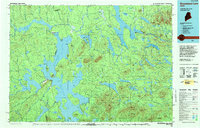 1994 Moosehead Lake1994 Print · USGSThe Maine North Woods at the end of the twentieth century remains a landscape of vast timberlands and remote outposts. Researchers can trace the Appalachian National Scenic Trail and locate historic water controls like Chesuncook Dam and Ripogenus Dam.
 - 2011 Map of Rainbow Lake East, 2011 Print
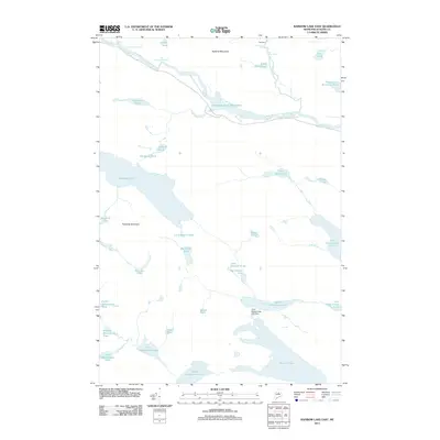 2011 Rainbow Lake East2011 Print · USGSMaine's North Woods are captured here in the early twenty-first century, showing the remote waters of the West Branch. Researchers can trace the river's path through Big Niagara Falls, past the Toll Dam, and into the deep basin of Rainbow Lake.
 - 2011 Map of Abol Pond, 2011 Print
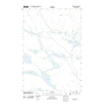 2011 Abol Pond2011 Print · USGSPiscataquis County's wilderness is captured here in the early twenty-first century, showing a landscape defined by the Penobscot River and its historic camps. Trace the access routes to Joe Francis Camp, find the shores of Abol Pond, or follow the Abol Stream drainage.
 - 2014 Map of Abol Pond, 2014 Print
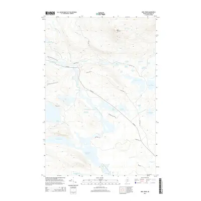 2014 Abol Pond2014 Print · USGSPiscataquis County remains a rugged wilderness of interconnected waterways and mountain trails in this recent topographic survey. You can trace the path of the Appalachian National Scenic Trail as it passes Abol Mountain or follow the Golden Rd along the West Branch Penobscot River.
 - 2014 Map of Rainbow Lake East, 2014 Print
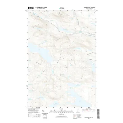 2014 Rainbow Lake East2014 Print · USGSThe North Woods of Maine are captured here in the early twenty-first century, showing the remote waters of the Penobscot. Hikers and historians can trace the Appalachian National Scenic Trail as it passes Rainbow Lake and Sentinel Mtn near the famous Golden Rd.
 - 2018 Map of Abol Pond, 2018 Print
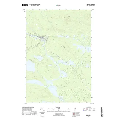 2018 Abol Pond2018 Print · USGSPiscataquis County in the early twenty-first century remains a wilderness of interconnected waterways and logging routes. Researchers can trace the Appalachian National Scenic Trail past Abol Mtn and the falls of the West Branch Penobscot River.
 - 2018 Map of Rainbow Lake East, 2018 Print
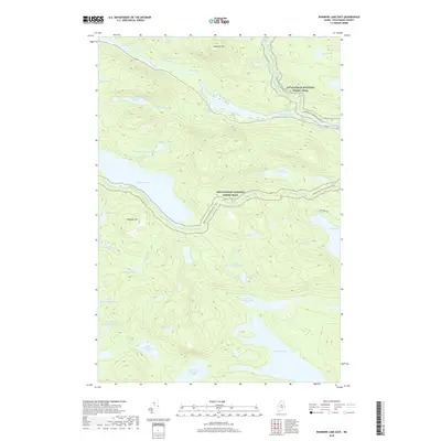 2018 Rainbow Lake East2018 Print · USGSPiscataquis County's wilderness is captured here in the late 2010s, showing a remote landscape shaped by the Penobscot River. Hikers and historians can trace the Appalachian National Scenic Trail as it passes Rainbow Lake and Little Ambejackmockamus Falls.
 - 2021 Map of Rainbow Lake East, 2021 Print
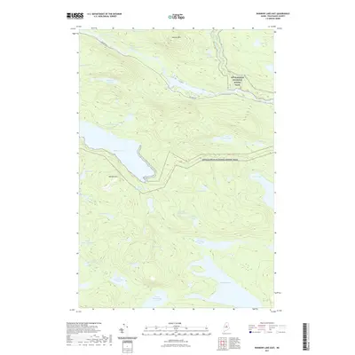 2021 Rainbow Lake East2021 Print · USGSNorth Maine Woods at the turn of the twenty-first century remains a wilderness of interconnected lakes and high peaks. Genealogists and hikers can trace the Appalachian National Scenic Trail past Rainbow Lake and Sentinel Mtn while following the historic timber corridor of the Golden Rd.
 - 2021 Map of Abol Pond, 2021 Print
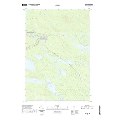 2021 Abol Pond2021 Print · USGSThe West Branch Penobscot River dominates this Piscataquis County landscape in the early twenty-first century. Hikers and historians can trace the Appalachian National Scenic Trail as it winds past Abol Mtn and the logging routes of the Golden Rd.
 - 2024 Map of Rainbow Lake East, 2024 Print
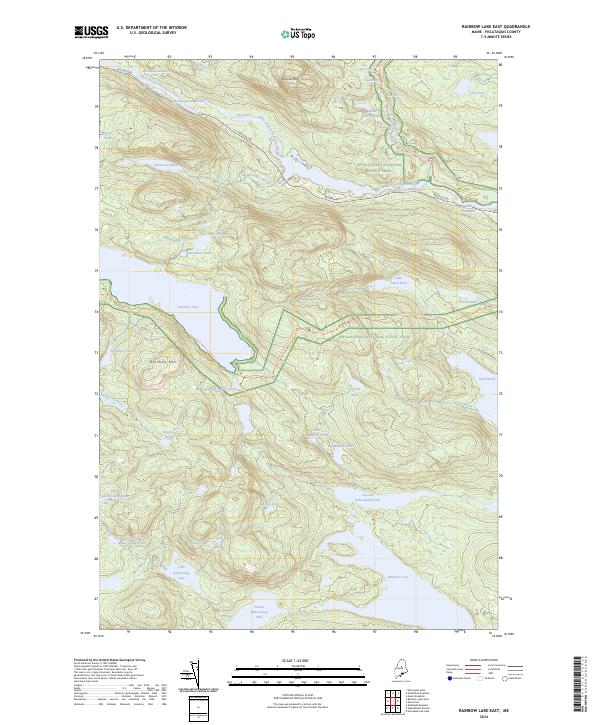 2024 Rainbow Lake East2024 Print · USGSPiscataquis County remains a quintessential wilderness landscape in the twenty-first century, defined by its logging roads and hiking corridors. Trace the path of the Appalachian National Scenic Trail as it passes Rainbow Lake and the Abol Deadwater.
 - 2024 Map of Abol Pond, 2024 Print
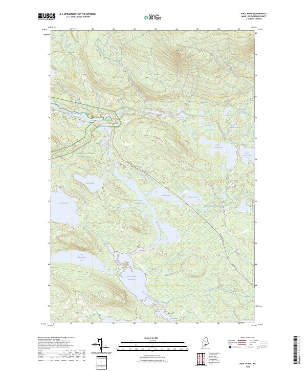 2024 Abol Pond2024 Print · USGSThe Piscataquis wilderness at the edge of the north woods appears in high detail in these modern surveys. You can trace the Appalachian National Scenic Trail through the shadows of Abol Mtn and locate remote waters like First Debsconeag Lake.
End of results
Showing maps 1-24 of 24
Frequently asked questions
- What are the different types of historical maps available for T2 R10 WELS?
- What is the oldest map of T2 R10 WELS?
- Where can I purchase historical maps of T2 R10 WELS for my home or office?
- Where can I download high-res historical maps of T2 R10 WELS?
- Are there historical topographic maps available for T2 R10 WELS?
- Is there historical aerial imagery available for T2 R10 WELS?
- Where are historical maps of T2 R10 WELS sourced from?