Old Maps of Phippsburg, Maine for Academic Research
Study the evolution of Phippsburg with 51 high-resolution historic maps. Whether you're teaching, researching, or modeling changes in land use, these maps provide essential visual documentation of urban, environmental, and geographic change.
- Analyze long-term change: Track patterns in development, transportation, and natural features.
- Ideal for environmental or urban studies: Support academic projects with primary historical map data.
- Use in the classroom or lab: Educators and researchers rely on these maps to bring historical context to life.
These maps are a powerful tool for teaching, research, and visualizing how Phippsburg has changed over the decades.
Phippsburg, ME maps
(51)- 1893 Map of Small Point
 1893 Small Point1893 Print · USGSCoastal Maine in the late nineteenth century is charted here with precision, showing the dangerous ledges and vital harbors of the Casco Bay region. Maritime researchers can locate Seguin Light, Pond Id. Light, and family-named landmarks like Wallace Head.5 unique versions available
 - 1894 Map of Bath
 1894 Bath1894 Print · USGSCoastal Maine at the height of the maritime era is captured in this survey of the river-linked communities of Bath and Brunswick. Genealogists and historians can trace the foundations of local shipping and rail at Winnegance, Parker Head, and along the M. C. R. R. lines.9 unique versions available
 - 1919 Map of Small Point
 1919 Small Point1919 Print · USGSThe Maine coastline at the mouth of the Kennebec is captured in this era of transition, detailing the rocky islands and harbors of the outer Casco Bay. Genealogists and maritime historians can trace coastal settlements at Popham Beach and Bailey Island, or locate landmarks like Seguin Light and Small Pt Harbor.
 - 1920 Map of Bath
 1920 Bath1920 Print · USGSCoastal Maine at the height of the rail era is captured here, showing the intricate tidal waters surrounding Bath and Brunswick. Genealogists and local historians can trace family locations near Nequasset Falls, Cundy Harbor, and the Quaker church.2 unique versions available
 - 1944 Map of Small Point
 1944 Small Point1944 Print · USGSThe Maine coastline during the early 1940s reveals a maritime landscape of isolated peninsulas and island fishing communities. Genealogists and coastal historians can trace the foundations of Popham Beach, explore the landing at West Point, and locate family landmarks from Bailey Island to Morse Mountain.3 unique versions available
 - 1945 Map of Bath
 1945 Bath1945 Print · USGSThe mid-coast Maine shoreline and Kennebec River shipping corridor are preserved here just as the war was ending. Genealogists and historians can trace the locations of family burial grounds like Winnegance Cem, rural schoolhouses like Littlefield Sch, and the industrial footprint of the Dana Mill.2 unique versions available
 - 1948 Map of Bath
 1948 Bath1948 Print · USGSMid-coast Maine’s intricate shoreline and island outposts are captured here just after the war. Researchers can trace historic maritime settlements from Bath to Friendship and locate remote landmarks like Monhegan Island and Pemaquid Point.2 unique versions available
 - 1950 Map of Phippsburg
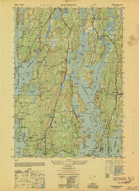 1950 Phippsburg1950 Print · USGSCoastal Sagadahoc County during the mid-twentieth century reveals a landscape of maritime defense and granite-hewn industry. Genealogists and researchers can locate family-named plots like Harris Cem, historic landmarks such as Fort Popham, and industrial sites including the Old Mica Mine.
 - 1950 Map of Orrs Island
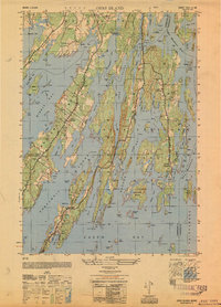 1950 Orrs Island1950 Print · USGSCoastal Maine in the post-war era reveals an intricate network of island villages and saltwater coves. Genealogists can trace family-named points and landmarks like the Gun Point School, Harpswell Ch, and the fishing hub at Cundy Harbor.
 - 1950 Map of Bailey Island
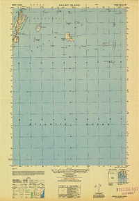 1950 Bailey Island1950 Print · USGSThe Harpswell islands and the Casco Bay coastline are captured in the mid-1940s, showing a landscape defined by maritime navigation. Trace family landmarks and old harbor sites near Mackerel Cove, David Castle, and the isolated Ragged Island.
 - 1956 Map of Bath, 1974 Print
 1956 Bath1974 Print · USGSCoastal Maine in the mid-fifties reveals a landscape of deep-water harbors and island outposts as the region transitioned from industrial roots to a summer destination. Genealogists can trace maritime families in Boothbay Harbor, Tenants Harbor, and on remote Monhegan Island.
 - 1957 Map of Bath
 1957 Bath1957 Print · USGSThe Maine coast in the mid-fifties is captured here, from the shipbuilding hubs of Bath and Brunswick to the granite reaches of Rockland. Researchers can trace the Maine Central RR line and remote island outposts like Monhegan Island and Matinicus Isle.
 - 1957 Map of Phippsburg, 1959 Print
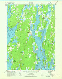 1957 Phippsburg1959 Print · USGSCoastal Sagadahoc County is shown in detail during the mid-fifties, from the Kennebec mouth to the granite ridges of Phippsburg. Researchers can trace historical defenses at Fort Popham, locate the Old Mica Mine, and find local landmarks like the Sebasco School and West Point Church.2 unique versions available
 - 1957 Map of Small Point, 1959 Print
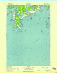 1957 Small Point1959 Print · USGSThe Phippsburg peninsula in the late fifties remains a landscape of military defenses and coastal retreats at the mouth of the Kennebec. Researchers can trace the grounds of Fort Baldwin, find the Lookout Tower at Cape Small, or locate the seasonal settlements at Popham Beach.3 unique versions available
 - 1957 Map of Orrs Island, 1959 Print
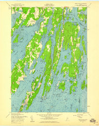 1957 Orrs Island1959 Print · USGSCoastal life in the late fifties centered on the interconnected islands and necks of Maine's shoreline. Genealogists and historians can trace family locations near Cundys Harbor, Orrs Island, and the Queen of the Mission Chapel.4 unique versions available
 - 1957 Map of Bailey Island, 1959 Print
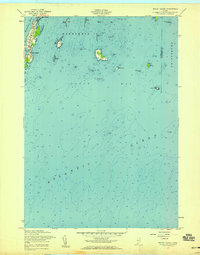 1957 Bailey Island1959 Print · USGSCoastal Harpswell at the mid-century reveals the intimate connection between the land and the Atlantic. Genealogists and historians can trace the shoreline of Bailey Island and Orrs Island, locating landmarks like Mackerel Cove and the Jamison Ledge Beacon.3 unique versions available
 - 1957 Map of Small Point, 1960 Print
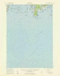 1957 Small Point1960 Print · USGSThe Phippsburg peninsula and Harpswell islands are shown in detail during the late fifties, capturing the area's coastal defense and maritime heritage. Researchers can trace the layout of Fort Baldwin, the summer settlement at Popham Beach, and the landmarks of Bailey Island.4 unique versions available
 - 1957 Map of Bath, 1960 Print
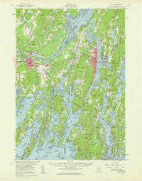 1957 Bath1960 Print · USGSThe mid-coast of Maine is captured here during a period of military and industrial growth along the Kennebec River. Genealogists and historians can trace the foundations of Bath and Brunswick, identifying family plots like Maple Grove Cem and the historic Bowdoin College campus.4 unique versions available
 - 1958 Map of Bath
 1958 Bath1958 Print · USGSCoastal Maine in the late fifties reveals a landscape of industrial river towns and remote island outposts. Genealogists and historians can trace the Maine Central RR through Bath, explore the islands of Muscongus Bay, or locate seafaring families at Pemaquid Point.
 - 1963 Map of Bath
 1963 Bath1963 Print · USGSThe Maine Midcoast in the early sixties remains a world of tidal rivers and jagged peninsulas tied to the sea. Genealogy and local history researchers can trace the rail lines of the Maine Central RR and locate offshore communities like Matinicus Island and Monhegan.2 unique versions available
 - 1965 Map of Bath
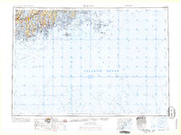 1965 Bath1965 Print · USGSThe Midcoast Maine shoreline and its archipelago come alive in the mid-1960s, showing the region's deep reliance on river and rail. Researchers can trace historic harbor towns like Boothbay Harbor and Damariscotta, and locate coastal landmarks from Pemaquid Point to the Fort Popham Military Res.
 - 1980 Map of Bath
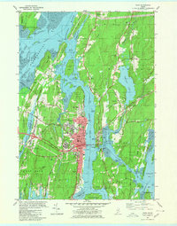 1980 Bath1980 Print · USGSMid-coast Maine’s maritime heritage is on full display here in the early eighties, centered on the historic shipbuilding hub of BATH. Researchers can trace old family names at Oak Grove Cem or locate former school sites like Dike Sch and Morse High Sch.3 unique versions available
 - 1985 Map of Bath, 1986 Print
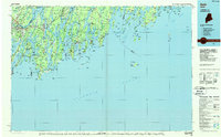 1985 Bath1986 Print · USGSMidcoast Maine in the mid-eighties shows a landscape of deep-water harbors and strategic military installations. Researchers can trace the coastal rail lines of the Maine Central RR and locate landmarks from Popham Beach to the remote Monhegan Plantation.2 unique versions available
 - 1997 Map of Orrs Island, 1999 Print
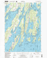 1997 Orrs Island1999 Print · USGSCumberland County's intricate shoreline and island chains are shown here in the late nineties, from Harpswell Center down to the tip of Orrs Island. Researchers can find long-standing local landmarks like Union Ch, Cundys Harbor, and the Harpswell Islands Sch.
 - 2000 Map of Phippsburg, 2001 Print
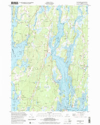 2000 Phippsburg2001 Print · USGSThe Kennebec River meets the Atlantic here as the twenty-first century begins, showcasing a coastline shaped by maritime history and military defense. Genealogists and historians can locate the Old Mica Mine, the Sebasco Sch, and landmark sites like the Fort Popham Lighthouse.
Showing maps 1-25 of 51
Top cities near Phippsburg
- Portland historical maps
- Brunswick historical maps
- Lisbon historical maps
- Topsham historical maps
- Freeport historical maps
- Bath historical maps
See more
Top neighborhoods of Phippsburg
- Ashdale historical maps
- Brightwater historical maps
- Fort Baldwin historical maps
- Fort Popham historical maps
- Meadowbrook historical maps
- Parker Head historical maps
See more
Frequently asked questions
- What are the different types of historical maps available for Phippsburg?
- What is the oldest map of Phippsburg?
- Where can I purchase historical maps of Phippsburg for my home or office?
- Where can I download high-res historical maps of Phippsburg?
- Are there historical topographic maps available for Phippsburg?
- Is there historical aerial imagery available for Phippsburg?
- Where are historical maps of Phippsburg sourced from?