Old Maps of Blake Gore, Maine for Genealogy
Trace your family roots with 15 historic maps of Blake Gore. These high-res maps reveal old neighborhoods, homesites, landmarks, and streets — helping you uncover where your ancestors lived and how the area evolved over time.
- Explore historic neighborhoods: Identify where your relatives may have lived in the 1800s or 1900s.
- Compare maps over time: Trace the changes in streets, buildings, and landmarks for multi-generational research.
- Perfect for genealogy & ancestry research: Used by family historians and researchers to map out lineage and migration.
These maps are an incredible resource for exploring your personal connection to Blake Gore's past.
Blake Gore, ME maps
(15)- 1927 Map of Sandy Bay
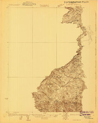 1927 Sandy Bay1927 Print · USGSCovers Blake Gore, including Saint-Robert-Bellarmin, Saint-Théophile, and other nearby areas5 unique versions available
 - 1930 Map of Sandy Bay
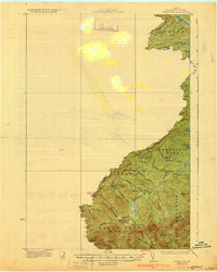 1930 Sandy Bay1930 Print · USGSCovers Blake Gore, including Saint-Robert-Bellarmin, Saint-Théophile, and other nearby areas5 unique versions available
 - 1944 Map of Sandy Bay
 1944 Sandy Bay1944 Print · USGSCovers Blake Gore, including Saint-Robert-Bellarmin, Saint-Théophile, and other nearby areas
 - 1949 Map of Jackman
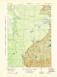
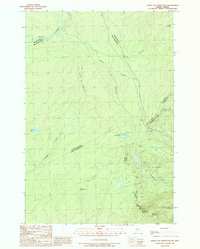
 1949 Jackman1949 Print · USGSCovers Blake Gore, including Sherbrooke, Saint-Georges, and other nearby areas2 unique versions available
 - 1963 Map of Jackman
 1963 Jackman1963 Print · USGSCovers Blake Gore, including Sherbrooke, Saint-Georges, and other nearby areas
 - 1966 Map of Sherbrooke
 1966 Sherbrooke1966 Print · USGSCovers Blake Gore, including Sherbrooke, Saint-Georges, and other nearby areas
 - 1976 Map of Sherbrooke
 1976 Sherbrooke1976 Print · USGSCovers Blake Gore, including Sherbrooke, Saint-Georges, and other nearby areas2 unique versions available
 - 1977 Map of Campbell Brook, 1983 Print
 1977 Campbell Brook1983 Print · USGSCovers Blake Gore, including Saint-Théophile, Bald Mountain Township T4 R3, and other nearby areas
 - 1977 Map of Riviere Monument, 1983 Print
 1977 Riviere Monument1983 Print · USGSCovers Blake Gore, including Saint-Robert-Bellarmin, Saint-Théophile, and other nearby areas
 - 1986 Map of Megantic
 1986 Megantic1986 Print · USGSCovers Blake Gore, including Saint-Georges, Lac-Mégantic, and other nearby areas
 - 1989 Map of Sandy Bay Mountain
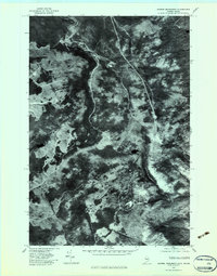
 1989 Sandy Bay Mountain1989 Print · USGSCovers Blake Gore, including Saint-Robert-Bellarmin, Saint-Théophile, and other nearby areas
 - 1989 Map of Campbell Brook
 1989 Campbell Brook1989 Print · USGSCovers Blake Gore, including Saint-Théophile, Bald Mountain Township T4 R3, and other nearby areas2 unique versions available
 - 1994 Map of Megantic
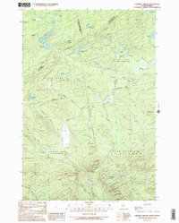
 1994 Megantic1994 Print · USGSCovers Blake Gore, including Saint-Georges, Lac-Mégantic, and other nearby areas
 - 2024 Map of Campbell Brook, 2024 Print
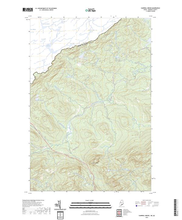 2024 Campbell Brook2024 Print · USGSCovers Blake Gore, including Saint-Théophile, Prentiss Township, and other nearby areas
 - 2024 Map of Sandy Bay Mountain, 2024 Print
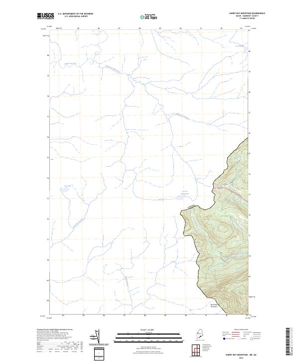 2024 Sandy Bay Mountain2024 Print · USGSCovers Blake Gore, including Saint-Robert-Bellarmin, Saint-Théophile, and other nearby areas
End of results
Showing maps 1-15 of 15
Top cities near Blake Gore
Frequently asked questions
- What are the different types of historical maps available for Blake Gore?
- What is the oldest map of Blake Gore?
- Where can I purchase historical maps of Blake Gore for my home or office?
- Where can I download high-res historical maps of Blake Gore?
- Are there historical topographic maps available for Blake Gore?
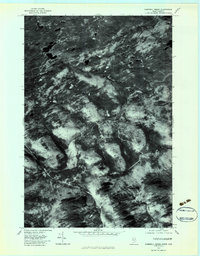
- Is there historical aerial imagery available for Blake Gore?
- Where are historical maps of Blake Gore sourced from?