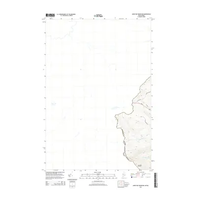
2014 Map of Sandy Bay Mountain
USGS Topo · Published 2014About this map
The international boundary between Maine and Canada defines the sharp topographic transition of this high-altitude border region. Dominating the southeastern landscape, Sandy Bay Mountain rises above the headwaters of the S Br Penobscot River, marking the watershed divide where New England's wilderness meets the Quebec frontier. The map reveals a network of logging and access roads that carve through the remote timberlands of Somerset County, including Campbell Pond Rd and Blake Gore Rd. Local transit and historical routes are visible along the edge of the border, specifically Old Me 201 and Main St, while Hilton Cemetery Rd provides a specific point of interest for those tracing family ties or historical footpaths in this sparsely populated northern reach.
Find a feature on this map
12 named features on this map. Tap any name to fly to it.
Don’t see what you’re looking for? This feature index may not catch every label — zoom into the map to look around manually.
Map Details
Editions of this 2014 Sandy Bay Mountain Map
This is the sole edition of this map. No revisions or reprints were ever made.
Other maps of this area

1923 · Attean
USGS Topo · 1:62,500

1925 · Attean
USGS Topo · 1:62,500

1927 · Sandy Bay
USGS Topo · 1:48,000

1928 · Skinner
USGS Topo · 1:48,000

1930 · Sandy Bay
USGS Topo · 1:62,500

1931 · Skinner
USGS Topo · 1:62,500

1944 · Sandy Bay
USGS Topo · 1:62,500

1949 · Jackman
USGS Topo · 1:250,000

1950 · Attean
USGS Topo · 1:50,000

1963 · Jackman
USGS Topo · 1:250,000