Old Maps of Madison, Maine for Genealogy
Trace your family roots with 44 historic maps of Madison. These high-res maps reveal old neighborhoods, homesites, landmarks, and streets — helping you uncover where your ancestors lived and how the area evolved over time.
- Explore historic neighborhoods: Identify where your relatives may have lived in the 1800s or 1900s.
- Compare maps over time: Trace the changes in streets, buildings, and landmarks for multi-generational research.
- Perfect for genealogy & ancestry research: Used by family historians and researchers to map out lineage and migration.
These maps are an incredible resource for exploring your personal connection to Madison's past.
Madison, ME maps
(44)- 1904 Map of Anson
 1904 Anson1904 Print · USGSSomerset County is shown in the early 1900s as a thriving corridor of river industry and rail transport. Genealogists can trace family landmarks like Savage Hill or locate early centers such as Twelve Corners, North Anson, and the island-studded Kennebec River.4 unique versions available
 - 1913 Map of Skowhegan
 1913 Skowhegan1913 Print · USGSSomerset County thrives as a hub of rail and river industry in this pre-war survey. Genealogists can trace family names through dozens of rural landmarks like Malbons Mills, the Union Church, and neighborhood schoolhouses from Athens to Canaan.4 unique versions available
 - 1948 Map of Bangor
 1948 Bangor1948 Print · USGSThe Maine coast and its industrial river valleys are captured here shortly after the war, showing the vital shipping and rail hubs of the late 1940s. Genealogists and historians can trace the tracks of the Maine Central RR connecting Bangor, Augusta, and Old Town.
 - 1955 Map of Anson, 1957 Print
 1955 Anson1957 Print · USGSThe Kennebec River valley in the mid-1950s shows a landscape of busy riverside towns and quiet rural crossroads. Researchers can trace the Maine Central Railroad and find local landmarks like the Union Ch, Purington Sch, and the uniquely named Land of Rest Cem.4 unique versions available
 - 1955 Map of Skowhegan, 1958 Print
 1955 Skowhegan1958 Print · USGSSomerset County in the mid-fifties shows a landscape of busy river towns and rural school districts connected by the Maine Central railroad. Genealogists can trace family names through landmarks like Malbons Mills, Cass Corner, and the Somerset Academy.4 unique versions available
 - 1956 Map of Bangor, 1966 Print
 1956 Bangor1966 Print · USGSMid-century Maine comes alive in this survey of the rugged coast and river valleys during the 1950s. Genealogists and historians can trace the vital rail corridors of the Maine Central RR connecting timber towns like Old Town to the coast at Bar Harbor.3 unique versions available
 - 1960 Map of Bangor
 1960 Bangor1960 Print · USGSCentral Maine in the sixties reveals a landscape of river-powered industry and sprawling coastal island chains. Researchers can trace the rail corridors of the Maine Central or locate mid-century aviation landmarks like Dow Air Force Base.
 - 1961 Map of Bangor
 1961 Bangor1961 Print · USGSMid-century Maine comes alive through its busy river ports and rocky archipelagoes during a period of steady maritime and rail commerce. Researchers can trace the path of the Maine Central railroad and locate coastal landmarks from Acadia National Park to Vinalhaven Island.
 - 1975 Map of Skowhegan SW, 1980 Print
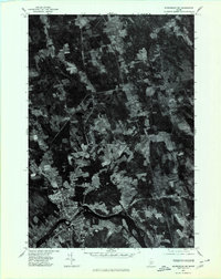 1975 Skowhegan SW1980 Print · USGSSkowhegan and the Kennebec River valley are captured in this mid-seventies aerial survey of central Maine. Trace the historical footprints of industrial sites like Malbons Mills and Lower Mill or the shoreline of Wesserunsett Lake.
 - 1975 Map of Anson SE, 1980 Print
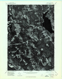 1975 Anson SE1980 Print · USGSSomerset County land and river patterns are captured in high detail in the mid-1970s. Researchers can trace the winding Kennebec River and identify family-named crossroads like Blackwell Corner and Martin Corner.
 - 1975 Map of Anson NE, 1980 Print
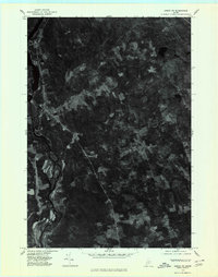 1975 Anson NE1980 Print · USGSMaine's Kennebec valley remains deeply rural in the mid-seventies, showing the enduring structure of its riverfront towns and upland crossroads. Genealogists and local historians can trace the settlement footprints of Solon, Embden, and the rural junction at Twelve Corners.
 - 1975 Map of Skowhegan NW, 1980 Print
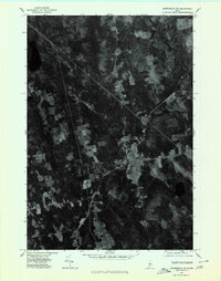 1975 Skowhegan NW1980 Print · USGSSomerset County land use is captured from the air during the mid-seventies, showing the rural Maine landscape in stark detail. Researchers can trace the exact field boundaries and settlement footprints around Athens, West Athens, and the winding East Branch.
 - 1976 Map of Anson SW, 1980 Print
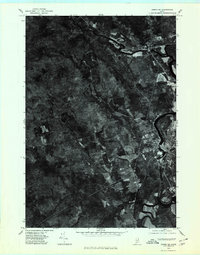 1976 Anson SW1980 Print · USGSSomerset County river settlements and timberlands are captured in this mid-seventies aerial study. Trace the industrial and residential footprints along the Kennebec River through Anson, North Anson, and Madison.
 - 1985 Map of Skowhegan, 1986 Print
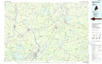 1985 Skowhegan1986 Print · USGSCentral Maine in the mid-eighties shows a landscape of river-driven industry and rural crossroads. Genealogists can trace family names and farmsteads near Lake George or along the Maine Central Railroad through Pittsfield and Burnham.2 unique versions available
 - 1989 Map of Madison West
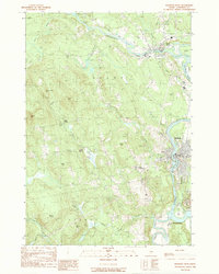 1989 Madison West1989 Print · USGSThe Kennebec and Carrabassett rivers meet in this 1980s Somerset County survey during a period of enduring rural industry and traditional riverfront settlement. Researchers can trace historical routes like the Arnold Trail and locate family landmarks such as Pease Corner, Savage Island, and Dane Corner.
 - 1989 Map of Athens
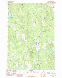 1989 Athens1989 Print · USGSThe village of Athens and the surrounding Somerset County highlands appear here in the late 1980s. Local researchers can trace family lands near Corsons Corner, locate camps on Ironbound Pond, and follow old roads along Chapman Ridge.
 - 1989 Map of Skowhegan
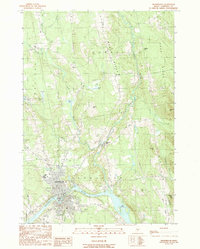 1989 Skowhegan1989 Print · USGSThe Kennebec River valley in the late 1980s shows a landscape of river-bend industry and upland ridges. Researchers can locate specific local landmarks such as Malbons Mills, the Drive-In Theater, and the historic Old Belgrade Grade.
 - 1989 Map of Solon
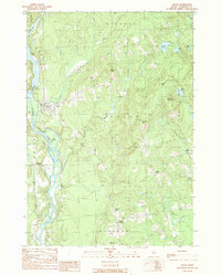 1989 Solon1989 Print · USGSThe Kennebec Valley in the late eighties remains a landscape of river-powered industry and quiet highland settlements. Genealogists and local historians can locate Arnolds Landing, the Williams Dam, and rural crossroads like Twelve Corners.
 - 1989 Map of Madison East
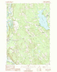 1989 Madison East1989 Print · USGSSomerset County's river valleys and lakefronts are captured here in the late 1980s, showcasing the transition from the Kennebec River to Wesserunset Lake. Researchers can trace old crossroads like White School Corner or locate family landmarks on Eames Hill and Tarbell Hill.
 - 2011 Map of Madison West, 2011 Print
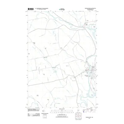 2011 Madison West2011 Print · USGSMadison and Anson appear at a modern milestone in this century, centered on the industrial heart of the Kennebec River. Genealogists and researchers can locate family plots at Athearn Cemetery and Emery Cemetery or trace the rural road networks connecting Five Corners and North Anson.
 - 2011 Map of Athens, 2011 Print
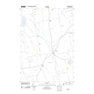 2011 Athens2011 Print · USGSSomerset County, Maine, is shown here in the early 21st century as a landscape of interconnected streams and upland ridges. Researchers can trace local lineage through numerous mapped burial sites like Kinsman Cemetery or locate old community hubs at Corsons Corner and West Athens.
 - 2011 Map of Skowhegan, 2011 Print
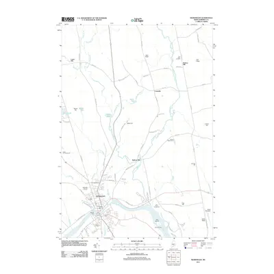 2011 Skowhegan2011 Print · USGSSkowhegan and its rural surroundings in Somerset County are shown here in the early 21st century. Genealogists and local historians can trace the town's growth along the Kennebec River and locate family landmarks such as Malbons Mills or the South Cemetery.
 - 2011 Map of Madison East, 2011 Print
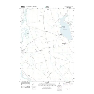 2011 Madison East2011 Print · USGSSomerset County in the early twenty-first century shows a landscape defined by the winding Kennebec River and the recreation-rich Wesserunsett Lake. Researchers can trace local heritage through several burial sites like Morse Cemetery and historical crossroads such as White School Corner and Blackwell Corner.
 - 2011 Map of Solon, 2011 Print
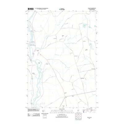 2011 Solon2011 Print · USGSThe Kennebec River valley in central Maine comes to life in this detailed digital-era survey. Genealogists and local historians can trace family roots through Pierce Cemetery, locate old farmsteads at Twelve Corners, and explore the shoreline of Gray Island.
 - 2014 Map of Athens, 2014 Print
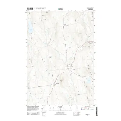 2014 Athens2014 Print · USGSSomerset County's rural character is on full display in the early twenty-first century, centered on the village of Athens. Researchers can trace old family homesteads and local heritage through landmarks like Kinsman Cem, Corsons Corner, and Barker Pond.
Showing maps 1-25 of 44
Top cities near Madison
- Fairfield historical maps
- Skowhegan historical maps
- Clinton historical maps
- Norridgewock historical maps
- Benton historical maps
- Anson historical maps
See more
Top neighborhoods of Madison
- Lower Mill historical maps
- Blackwell Corner historical maps
- Lakewood historical maps
- White School Corner historical maps
- Barron Corner historical maps
- Ellis Corner historical maps
See more
Frequently asked questions
- What are the different types of historical maps available for Madison?
- What is the oldest map of Madison?
- Where can I purchase historical maps of Madison for my home or office?
- Where can I download high-res historical maps of Madison?
- Are there historical topographic maps available for Madison?
- Is there historical aerial imagery available for Madison?
- Where are historical maps of Madison sourced from?