2010s Maps of Misery Gore, Maine
Explore 18 historic maps of Misery Gore from the 2010s. These maps offer a rare glimpse into what life looked like during the 2010s — showing old roads, neighborhoods, homes, and landmarks that have changed or disappeared over time.
Whether you're researching your family's past, planning a metal detecting trip, or studying how Misery Gore's landscape evolved across the 2010s, these high-resolution maps are a powerful tool for exploring the history of this region.
- Focus on a specific era: All maps on this page are from the 2010s, giving you a focused view of this time period.
- See what’s changed: Compare century-old streets, trails, and buildings to today's modern landscape using overlays and satellite layers.
- Research with precision: Use these maps for genealogy, historical research, land use analysis, or educational projects.
- View, download, or print: Maps are fully viewable online in high resolution, and can be downloaded or printed for your own records.
Start exploring Misery Gore's history through authentic maps from the 2010s. This is your window into the past.
Misery Gore, ME maps
(18)- 2011 Map of Indian Pond North, 2011 Print
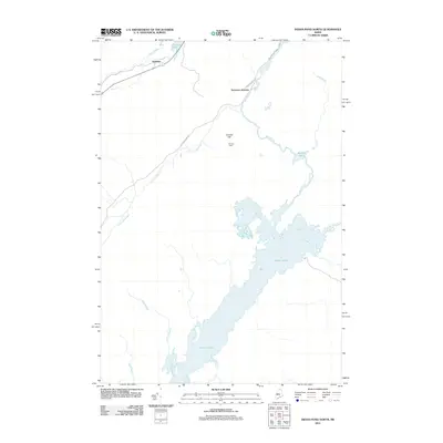 2011 Indian Pond North2011 Print · USGSThe northern reaches of Somerset County come into focus in the early twenty-first century, showing a landscape defined by the Kennebec River headwaters. Genealogists and historians can trace old homesteads and remote junctions like Cornish Farm, Tarratine, and Somerset Junction.
 - 2011 Map of Misery Knob, 2011 Print
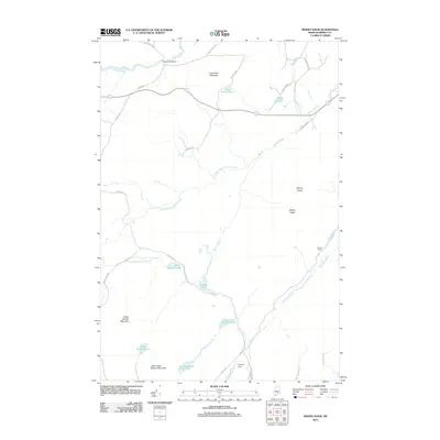 2011 Misery Knob2011 Print · USGSSomerset County’s deep woods are captured here in the early twenty-first century, showing a landscape of timber management and remote waterways. Researchers can trace the drainage of Misery Stream or locate isolated landmarks like Milliken Farm and Lanigan Dam.
 - 2011 Map of Mount Kineo, 2011 Print
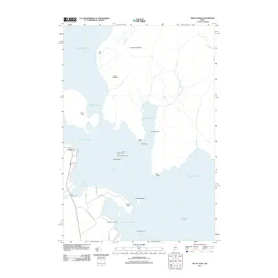 2011 Mount Kineo2011 Print · USGSMoosehead Lake and its prominent islands are captured here in the early twenty-first century as they appear near the gateway of Rockwood. Researchers can trace the shoreline from Mount Kineo to the West Outlet Dam, while locating family-named landmarks like Deer Head Farm and Masterman Island.
 - 2011 Map of Moosehead, 2011 Print
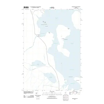 2011 Moosehead2011 Print · USGSMoosehead Lake and its surrounding timberlands are captured here in the early twenty-first century as the region balanced industry and recreation. Explore the hydrology of the East Outlet Dam or trace the shores of Whiskey Island and Deer Island.
 - 2011 Map of Long Pond, 2011 Print
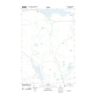 2011 Long Pond2011 Print · USGSSomerset County's remote timberlands and glacial ponds are captured here in the early twenty-first century. Researchers can trace historic backcountry sites like Fogg Farm, the settlement at Long Pond, and the mountain roads surrounding Parlin Pond.
 - 2011 Map of Catheart Mountain, 2011 Print
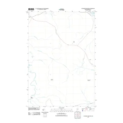 2011 Catheart Mountain2011 Print · USGSSomerset County’s northern timberlands and waterways are captured here in the years following the millennium. Genealogists and outdoorsmen can locate Johns Camping Area, trace the Moose River past Attean Falls, and find the remote settlement of Three Streams.
 - 2014 Map of Indian Pond North, 2014 Print
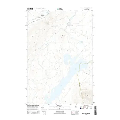 2014 Indian Pond North2014 Print · USGSThe Maine backcountry near Misery Gore is documented in this recent survey of the Kennebec River's headwaters. Researchers can trace the landscape around Somerset Junction and Tarratine, or follow the shoreline of Indian Pond past Big Moose Mtn.
 - 2014 Map of Mount Kineo, 2014 Print
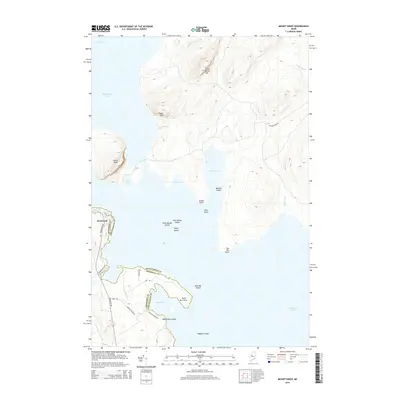 2014 Mount Kineo2014 Print · USGSThe northern Maine wilderness around Moosehead Lake is captured here in the early twenty-first century, showing the intersection of Somerset and Piscataquis counties. Researchers can trace the shoreline geography from Mount Kineo down to the clustered landforms of Sand Bar Island and Rockwood.
 - 2014 Map of Misery Knob, 2014 Print
 2014 Misery Knob2014 Print · USGSIn the remote woods of Somerset County during the early 2010s, this area remains a landscape of high ridges and named ponds. Researchers can trace the timber and water routes around Mackamp, Misery Knob, and the distinctive Ten Thousand Acre Pond.
 - 2014 Map of Long Pond, 2014 Print
 2014 Long Pond2014 Print · USGSSomerset County's interior wilderness is captured here in the early twenty-first century, showing a landscape defined by glacial ponds and timber-access routes. Researchers can trace the drainages of Parlin Pond and Lang Stream or locate remote camps near Smith Pond and Mackamp.
 - 2014 Map of Catheart Mountain, 2014 Print
 2014 Catheart Mountain2014 Print · USGSIn the highlands of Somerset County during the early 2010s, this area shows the intersection of industry and nature near Jackman. Trace the routes of Mining Rd and School Rd between peaks like Catheart Mountain and the banks of the Moose River.
 - 2014 Map of Moosehead, 2014 Print
 2014 Moosehead2014 Print · USGSThe Maine North Woods are captured here in the early twenty-first century as the Somerset and Piscataquis county lines meet at the shore. Trace the lake-based geography from the East Outlet to the heights of Big Moose Mtn and islands like Sugar Island.
 - 2018 Map of Long Pond, 2018 Print
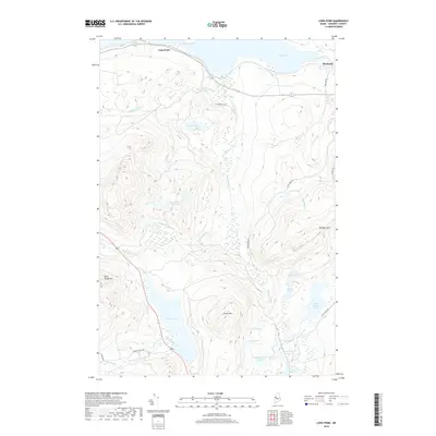 2018 Long Pond2018 Print · USGSSomerset County’s northern woods and waterways appear here in detail as they were documented in 2018. Researchers can trace the drainage of Parlin Pond and Long Pond or locate historic routes like Old Route 15 Rd and the settlement of Mackamp.
 - 2018 Map of Catheart Mountain, 2018 Print
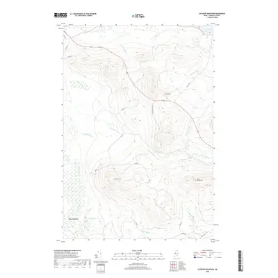 2018 Catheart Mountain2018 Print · USGSSomerset County's interior timberlands are captured here in the late twenty-teens, showing the intersection of Maine's river geography and industrial access. Trace the path of the Moose River past Attean Falls and explore the high ridges of Catheart Mtn and Owls Head.
 - 2018 Map of Indian Pond North, 2018 Print
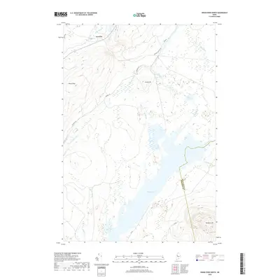 2018 Indian Pond North2018 Print · USGSThe wilderness of Somerset County is captured in the late twenty-teens, centering on the waters of Indian Pond. Outdoorsmen and researchers can trace the roads into Tarratine or locate the high ground at Big Moose Mtn and Misery Ridge.
 - 2018 Map of Misery Knob, 2018 Print
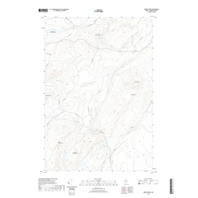 2018 Misery Knob2018 Print · USGSSomerset County’s northern timberlands and high ridges come into focus here during the late 2010s. Researchers can trace the drainage of Misery Stream through the hills and locate isolated landmarks like the Mackamp settlement and the summit of Misery Knob.
 - 2018 Map of Moosehead, 2018 Print
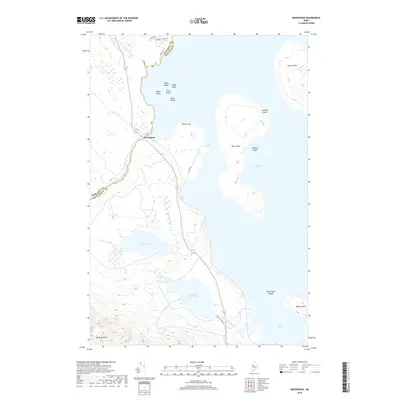 2018 Moosehead2018 Print · USGSMoosehead Lake and its surrounding timberlands are documented here in the early twenty-first century. Researchers can trace the shoreline from Moose Point to Deep Cove and identify numerous landmarks like Big Moose Mtn and Sugar Island.
 - 2018 Map of Mount Kineo, 2018 Print
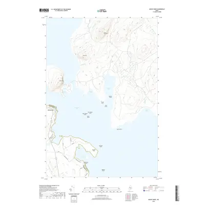 2018 Mount Kineo2018 Print · USGSThe Moosehead Lake shoreline near the Somerset and Piscataquis county line is captured here in the late 2010s. Researchers can trace the landscape around Mt Kineo and the village of Rockwood, locating landmarks like Old Mill Rd and Masterman Island.
End of results
Showing maps 1-18 of 18
Top cities near Misery Gore
Top neighborhoods of Misery Gore
Frequently asked questions
- What are the different types of historical maps available for Misery Gore?
- What is the oldest map of Misery Gore?
- Where can I purchase historical maps of Misery Gore for my home or office?
- Where can I download high-res historical maps of Misery Gore?
- Are there historical topographic maps available for Misery Gore?
- Is there historical aerial imagery available for Misery Gore?
- Where are historical maps of Misery Gore sourced from?