2020s Maps of T4 R17 WELS, Maine
Explore 8 historic maps of T4 R17 WELS from the 2020s. These maps offer a rare glimpse into what life looked like during the 2020s — showing old roads, neighborhoods, homes, and landmarks that have changed or disappeared over time.
Whether you're researching your family's past, planning a metal detecting trip, or studying how T4 R17 WELS's landscape evolved across the 2020s, these high-resolution maps are a powerful tool for exploring the history of this region.
- Focus on a specific era: All maps on this page are from the 2020s, giving you a focused view of this time period.
- See what’s changed: Compare century-old streets, trails, and buildings to today's modern landscape using overlays and satellite layers.
- Research with precision: Use these maps for genealogy, historical research, land use analysis, or educational projects.
- View, download, or print: Maps are fully viewable online in high resolution, and can be downloaded or printed for your own records.
Start exploring T4 R17 WELS's history through authentic maps from the 2020s. This is your window into the past.
T4 R17 WELS, ME maps
(8)- 2021 Map of Seboomook Lake West, 2021 Print
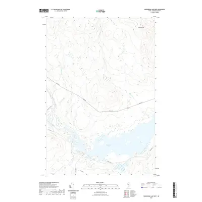 2021 Seboomook Lake West2021 Print · USGSCovers T4 R17 WELS, including Pittston Academy Grant, Comstock Township, and other nearby areas
 - 2021 Map of Saint John Ponds, 2021 Print
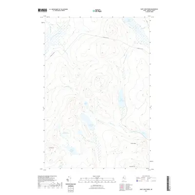 2021 Saint John Ponds2021 Print · USGSCovers T4 R17 WELS, including T5 R17 WELS, Comstock Township, and other nearby areas
 - 2021 Map of Seboomook Lake East, 2021 Print
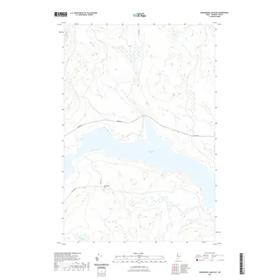 2021 Seboomook Lake East2021 Print · USGSCovers T4 R17 WELS, including Big W Township, Elm Stream Township, and other nearby areas
 - 2021 Map of Russell Mountain, 2021 Print
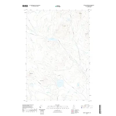 2021 Russell Mountain2021 Print · USGSCovers T4 R17 WELS, including Saint John Township, T5 R17 WELS, and other nearby areas
 - 2024 Map of Saint John Ponds, 2024 Print
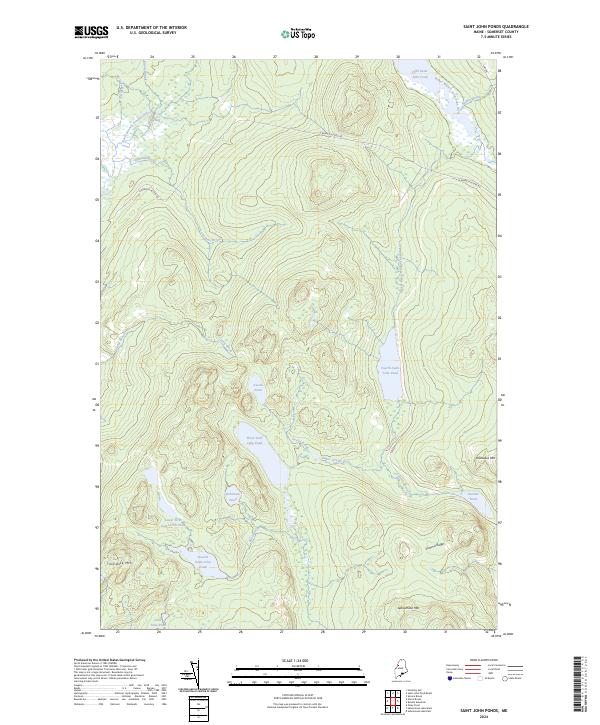 2024 Saint John Ponds2024 Print · USGSThe remote Maine North Woods of Somerset County appear here in the early twenty-first century, centered on the Saint John River headwaters. Genealogists and historians can trace the interconnected First, Second, and Third Saint John Ponds near landmarks like Truesdale Mtn.
 - 2024 Map of Russell Mountain, 2024 Print
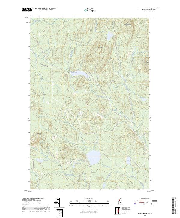 2024 Russell Mountain2024 Print · USGSThe North Woods of Somerset County are shown in detail during the early 2020s, highlighting a landscape defined by timber access and high-elevation waters. Researchers can trace remote logging routes like Russell Pond Rd past landmarks such as Russell Bog and Nulhedus Mtn.
 - 2024 Map of Seboomook Lake East, 2024 Print
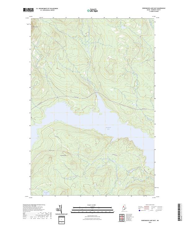 2024 Seboomook Lake East2024 Print · USGSMaine's north woods are captured here in Somerset County, where the sprawling Seboomook Lake meets a labyrinth of waterways. Genealogists and local historians can trace the road to Swan Farm or explore the drainage of Nulhedus Stream and Carry Brook.
 - 2024 Map of Seboomook Lake West, 2024 Print
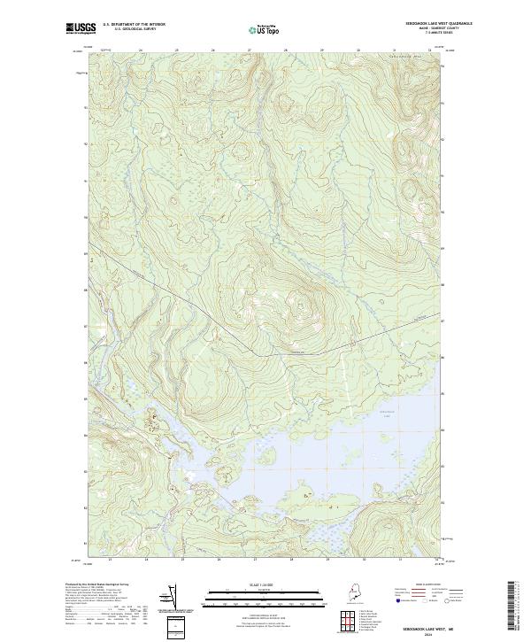 2024 Seboomook Lake West2024 Print · USGSSomerset County, Maine, is shown in this contemporary study of the deep North Woods during the 2020s. Trace the logging network along Golden Rd and the vast waters of Seboomook Lake near the confluence of the South Branch Penobscot River.
End of results
Showing maps 1-8 of 8
Frequently asked questions
- What are the different types of historical maps available for T4 R17 WELS?
- What is the oldest map of T4 R17 WELS?
- Where can I purchase historical maps of T4 R17 WELS for my home or office?
- Where can I download high-res historical maps of T4 R17 WELS?
- Are there historical topographic maps available for T4 R17 WELS?
- Is there historical aerial imagery available for T4 R17 WELS?
- Where are historical maps of T4 R17 WELS sourced from?