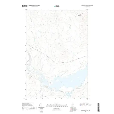
2021 Map of Seboomook Lake West
USGS Topo · Published 2021This historical map portrays the area of Seboomook Lake West in 2021, primarily covering Pittston Academy Grant as well as portions of Comstock Township, T4 R17 WELS, and Plymouth Township. Featuring a scale of 1:24,000, this map provides a highly detailed snapshot of the terrain, roads, buildings, counties, and historical landmarks in the Seboomook Lake West region at the time. Published in 2021, it is the sole known edition of this map.
Map Details
Editions of this 2021 Seboomook Lake West Map
This is the sole edition of this map. No revisions or reprints were ever made.
Other maps of this area

1949 · Jackman
USGS Topo · 1:250,000

1954 · Seboomook Lake
USGS Topo · 1:62,500

1954 · St. John Pond
USGS Topo · 1:62,500

1954 · Presque Isle
USGS Topo · 1:250,000

1954 · Millinocket
USGS Topo · 1:250,000

1956 · Penobscot Lake
USGS Topo · 1:62,500

1957 · Norris Brook
USGS Topo · 1:62,500

1958 · Presque Isle
USGS Topo · 1:250,000

1958 · Millinocket
USGS Topo · 1:250,000

1958 · Saint John Pond
USGS Topo · 1:62,500
Featured Places
- Pittston Academy Grant, ME
- Comstock Township, ME
- T4 R17 WELS, ME
- Plymouth Township, ME
- Somerset County, ME