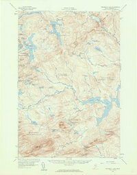
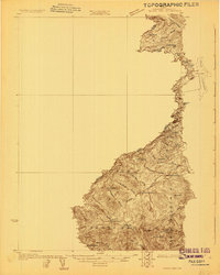
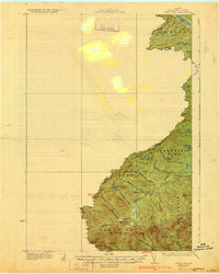
1956 Map of Penobscot Lake
USGS Topo · Published 1960About this map
The Maine and Quebec border, established along the watershed of the United States Canada international boundary, defines this mid-century landscape of timber tracts and deep water. The territory is organized into historic township blocks such as Penobscot Lake Town and Pittston Academy, reflecting a long history of industrial land grants. Navigation across the high country relies on a network of Private Roads and the Bald Mtn Trail, which leads to a Lookout Tower and Fire Warden Camp atop Bald Mtn.
Find a feature on this map
77 named features on this map. Tap any name to fly to it.
Don’t see what you’re looking for? This feature index may not catch every label — zoom into the map to look around manually.
Map Details
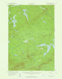
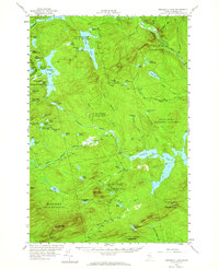
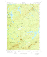
Editions of this 1956 Penobscot Lake Map
4 editions found
Other maps of this area

1921 · Brassua Lake
USGS Topo · 1:62,500

1922 · Long Pond
USGS Topo · 1:62,500

1923 · Brassua Lake
USGS Topo · 1:62,500

1923 · Attean
USGS Topo · 1:62,500

1924 · Long Pond
USGS Topo · 1:62,500

1925 · Attean
USGS Topo · 1:62,500
1927 · Sandy Bay
USGS Topo · 1:48,000
1930 · Sandy Bay
USGS Topo · 1:62,500

1944 · Brassua Lake
USGS Topo · 1:62,500

1944 · Long Pond
USGS Topo · 1:62,500