2000s (21st Century) Maps of Tomhegan Township, Maine
Explore 25 historic maps of Tomhegan Township from the 2000s (21st Century). These maps offer a rare glimpse into what life looked like during the 2000s — showing old roads, neighborhoods, homes, and landmarks that have changed or disappeared over time.
Whether you're researching your family's past, planning a metal detecting trip, or studying how Tomhegan Township's landscape evolved across the 2000s, these high-resolution maps are a powerful tool for exploring the history of this region.
- Focus on a specific era: All maps on this page are from the 2000s, giving you a focused view of this time period.
- See what’s changed: Compare century-old streets, trails, and buildings to today's modern landscape using overlays and satellite layers.
- Research with precision: Use these maps for genealogy, historical research, land use analysis, or educational projects.
- View, download, or print: Maps are fully viewable online in high resolution, and can be downloaded or printed for your own records.
Start exploring Tomhegan Township's history through authentic maps from the 2000s. This is your window into the past.
Tomhegan Township, ME maps
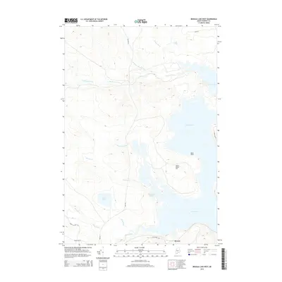
(25)- 2011 Map of Brassua Lake East, 2011 Print
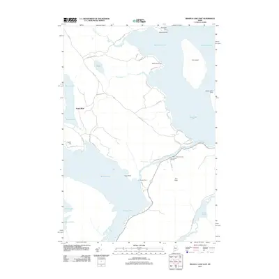 2011 Brassua Lake East2011 Print · USGSCovers Tomhegan Township, including Rockwood Strip T2 R1 NBKP, Kineo Township, and other nearby areas
 - 2011 Map of Brassua Lake West, 2011 Print
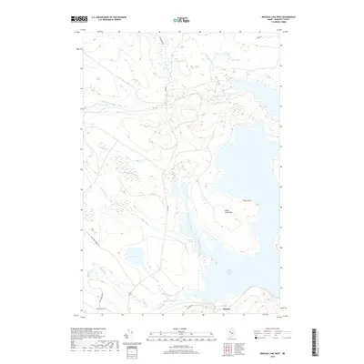
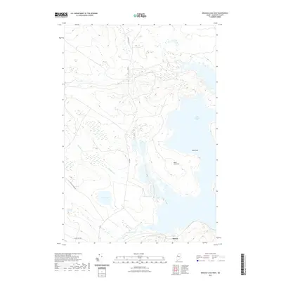
 2011 Brassua Lake West2011 Print · USGSCovers Tomhegan Township, including Brassua Township, Rockwood Strip T2 R1 NBKP, and other nearby areas
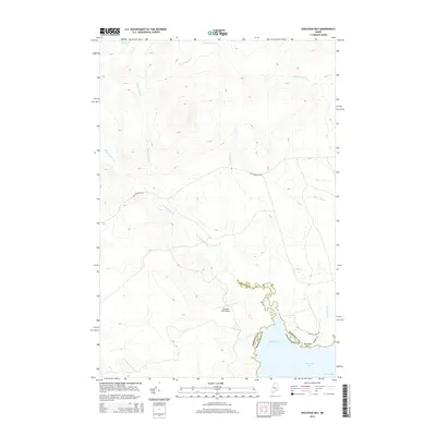
 - 2011 Map of Socatean Bay, 2011 Print
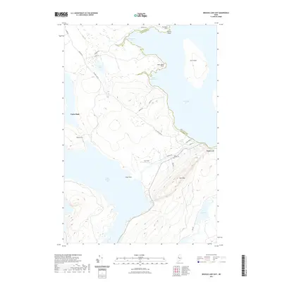
 2011 Socatean Bay2011 Print · USGSCovers Tomhegan Township, including Big W Township, West Middlesex Canal Grant Township, and other nearby areas
 - 2011 Map of North East Carry, 2011 Print
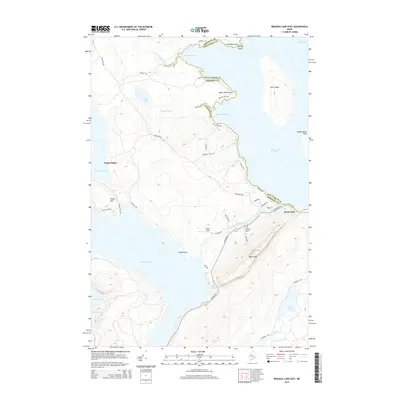
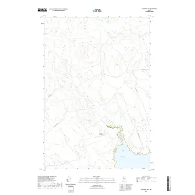
 2011 North East Carry2011 Print · USGSCovers Tomhegan Township, including Northeast Carry Township, Big W Township, and other nearby areas
 - 2011 Map of Tomhegan Pond, 2011 Print
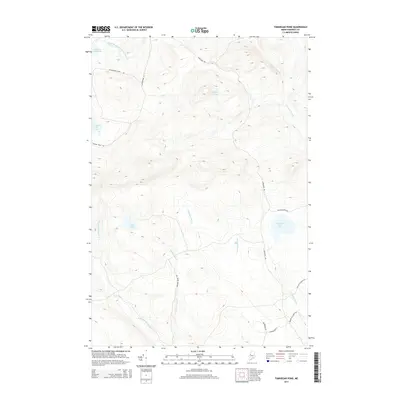
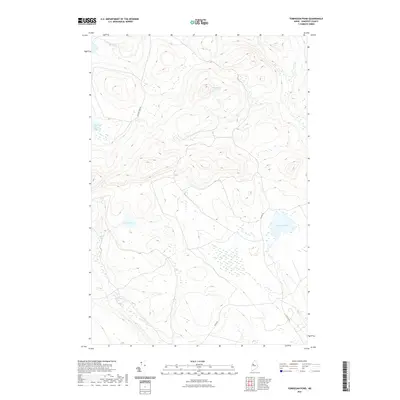
 2011 Tomhegan Pond2011 Print · USGSCovers Tomhegan Township, including West Middlesex Canal Grant Township, Brassua Township, and other nearby areas
 - 2014 Map of Brassua Lake West, 2014 Print
 2014 Brassua Lake West2014 Print · USGSCovers Tomhegan Township, including Brassua Township, Rockwood Strip T2 R1 NBKP, and other nearby areas
 - 2014 Map of Tomhegan Pond, 2014 Print
 2014 Tomhegan Pond2014 Print · USGSCovers Tomhegan Township, including West Middlesex Canal Grant Township, Brassua Township, and other nearby areas
 - 2014 Map of Socatean Bay, 2014 Print
 2014 Socatean Bay2014 Print · USGSCovers Tomhegan Township, including Big W Township, West Middlesex Canal Grant Township, and other nearby areas
 - 2014 Map of North East Carry, 2014 Print
 2014 North East Carry2014 Print · USGSCovers Tomhegan Township, including Northeast Carry Township, Big W Township, and other nearby areas
 - 2014 Map of Brassua Lake East, 2014 Print
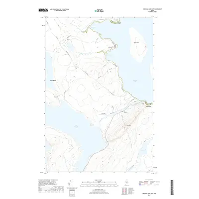
 2014 Brassua Lake East2014 Print · USGSCovers Tomhegan Township, including Rockwood Strip T2 R1 NBKP, Kineo Township, and other nearby areas
 - 2018 Map of Brassua Lake West, 2018 Print
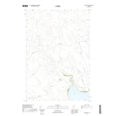
 2018 Brassua Lake West2018 Print · USGSCovers Tomhegan Township, including Brassua Township, Rockwood Strip T2 R1 NBKP, and other nearby areas
 - 2018 Map of Socatean Bay, 2018 Print
 2018 Socatean Bay2018 Print · USGSCovers Tomhegan Township, including Big W Township, West Middlesex Canal Grant Township, and other nearby areas
 - 2018 Map of North East Carry, 2018 Print
 2018 North East Carry2018 Print · USGSCovers Tomhegan Township, including Northeast Carry Township, Big W Township, and other nearby areas
 - 2018 Map of Tomhegan Pond, 2018 Print
 2018 Tomhegan Pond2018 Print · USGSCovers Tomhegan Township, including West Middlesex Canal Grant Township, Brassua Township, and other nearby areas
 - 2018 Map of Brassua Lake East, 2018 Print
 2018 Brassua Lake East2018 Print · USGSCovers Tomhegan Township, including Rockwood Strip T2 R1 NBKP, Kineo Township, and other nearby areas
 - 2021 Map of Tomhegan Pond, 2021 Print
 2021 Tomhegan Pond2021 Print · USGSCovers Tomhegan Township, including West Middlesex Canal Grant Township, Brassua Township, and other nearby areas
 - 2021 Map of Brassua Lake West, 2021 Print
 2021 Brassua Lake West2021 Print · USGSCovers Tomhegan Township, including Brassua Township, Rockwood Strip T2 R1 NBKP, and other nearby areas
 - 2021 Map of North East Carry, 2021 Print
 2021 North East Carry2021 Print · USGSCovers Tomhegan Township, including Northeast Carry Township, Big W Township, and other nearby areas
 - 2021 Map of Brassua Lake East, 2021 Print
 2021 Brassua Lake East2021 Print · USGSCovers Tomhegan Township, including Rockwood Strip T2 R1 NBKP, Kineo Township, and other nearby areas
 - 2021 Map of Socatean Bay, 2021 Print
 2021 Socatean Bay2021 Print · USGSCovers Tomhegan Township, including Big W Township, West Middlesex Canal Grant Township, and other nearby areas
 - 2024 Map of Tomhegan Pond, 2024 Print
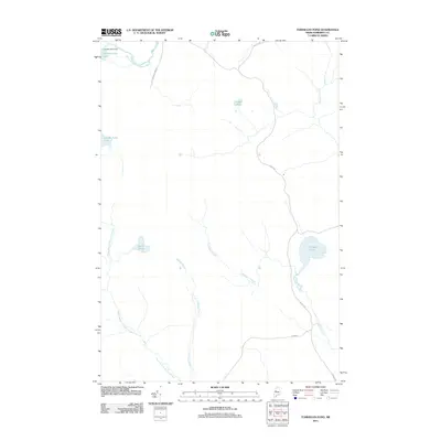
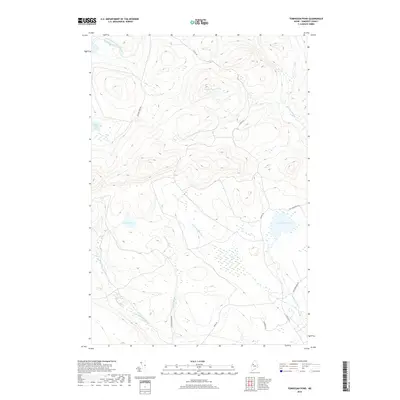
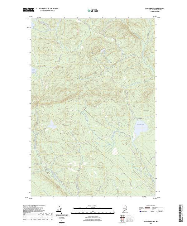 2024 Tomhegan Pond2024 Print · USGSSomerset County's dense timberlands are captured in this contemporary view of the Maine wilderness. Researchers and outdoorsmen can trace the remote logging routes of 20 Mile Rd and the waterways of Tomhegan Pond and Canada Falls Lake.
 - 2024 Map of Socatean Bay, 2024 Print
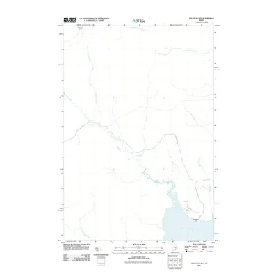
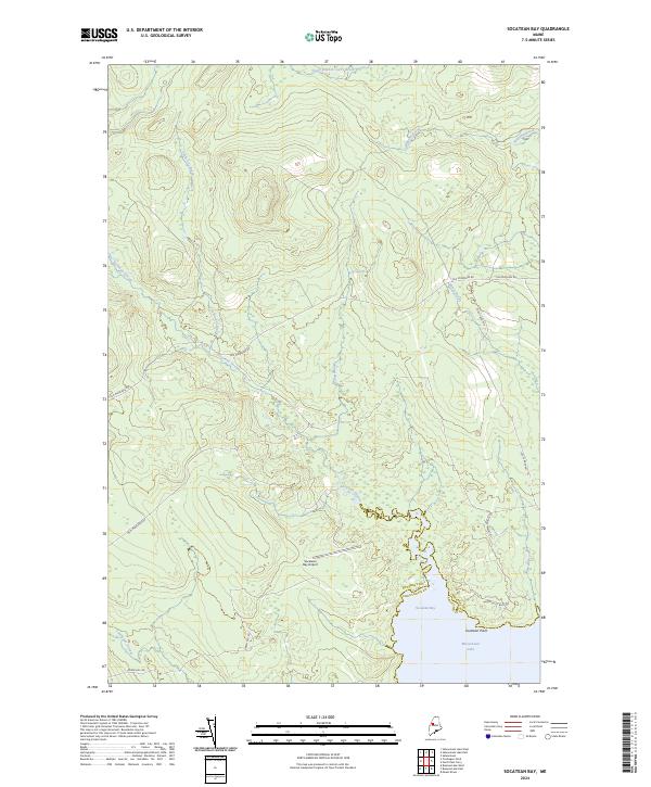 2024 Socatean Bay2024 Print · USGSMoosehead Lake and its surrounding timberlands are documented here in the modern era, showing the transition from the lake shore to the deep Maine woods. Researchers can trace historic access routes like Old Middlesex Rd and locate the remote Socatean Bay Airport near Socatean Bay.
 - 2024 Map of North East Carry, 2024 Print
 2024 North East Carry2024 Print · USGSThe northern reaches of Moosehead Lake are shown here in modern detail, preserving the site of the historic portage at North East Carry. Researchers can trace old woods routes like Old Middlesex Rd and locate family landmarks near Ogontz and the Toe of the Boot.
 - 2024 Map of Brassua Lake East, 2024 Print
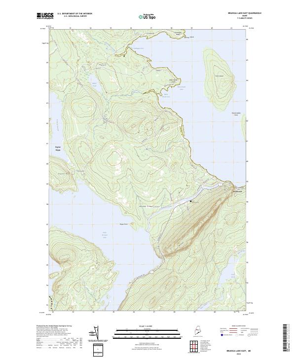 2024 Brassua Lake East2024 Print · USGSThe Somerset County wilderness comes into focus in the early twenty-first century, centered on the transition from the Moose River to Moosehead Lake. Researchers can trace the local landscape around Rockwood, the grounds of Saint Josephs Cem, and the prominent rise of Blue Ridge.
 - 2024 Map of Brassua Lake West, 2024 Print
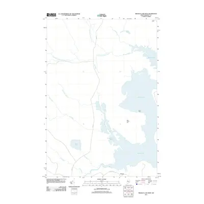
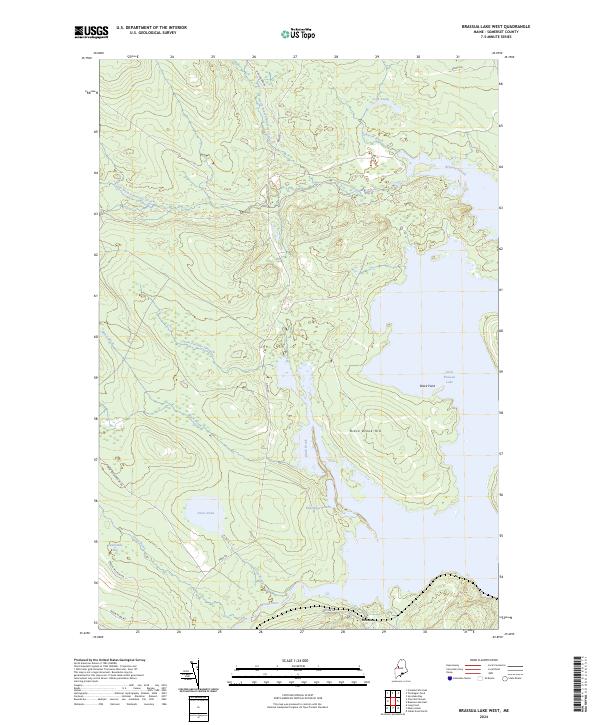 2024 Brassua Lake West2024 Print · USGSSomerset County’s timberlands and river networks are captured here in the early twenty-first century, centered on the Moose River drainage. Researchers can trace remote logging routes like Demo Rd and find secluded landmarks such as Twelvemile Bog and Roderique Pond.
End of results
Showing maps 1-25 of 25
Top cities near Tomhegan Township
Frequently asked questions
- What are the different types of historical maps available for Tomhegan Township?
- What is the oldest map of Tomhegan Township?
- Where can I purchase historical maps of Tomhegan Township for my home or office?
- Where can I download high-res historical maps of Tomhegan Township?
- Are there historical topographic maps available for Tomhegan Township?
- Is there historical aerial imagery available for Tomhegan Township?
- Where are historical maps of Tomhegan Township sourced from?