Old Maps of Addison, Maine for Hiking & Exploration
Hike through history with 58 historic maps of Addison. Explore old trails, ghost towns, and forgotten backroads — perfect for outdoor adventurers and local explorers.
- Rediscover forgotten places: Map out old mining camps, roads, and footpaths that no longer exist on modern maps.
- Layer with modern tools: Combine with LiDAR or satellite views to plan hikes through historical terrain.
- Made for exploration: Popular among hikers, overlanders, and local history lovers.
Use these maps to find adventure and explore the hidden past of Addison.
Addison, ME maps
(58)- 1902 Map of Cherryfield, 1962 Print
 1902 Cherryfield1962 Print · USGSCoastal Washington County comes alive in the early 1900s, showing the vital connections between tidal rivers and the rails. Genealogists can trace family roots in Milbridge and Cherryfield, or locate old landings along the Steamboat Route.2 unique versions available
 - 1904 Map of Cherryfield
 1904 Cherryfield1904 Print · USGSThe coastal and barrens landscape of Washington County is captured here at the start of the twentieth century. Genealogists and local historians can trace family-named points and early settlements from Cherryfield down to the shores of Narraguagus Bay and Millbridge.5 unique versions available
 - 1904 Map of Petit Manan
 1904 Petit Manan1904 Print · USGSThe rugged coastline of Washington and Hancock Counties comes alive in this early-century survey. Trace maritime history through the Steamboat Route and local landmarks like Corea, the Petit Manan I. L.H., and Bois Bubert Island.4 unique versions available
 - 1921 Map of Great Wass Island
 1921 Great Wass Island1921 Print · USGSThe Washington County coast appears as a intricate maze of granite islands and narrow channels in the years following the Great War. Maritime researchers can locate the Moose Peak L H, the Coast Guard Sta, and remote harbors like Mistake Harbor.4 unique versions available
 - 1921 Map of Columbia Falls
 1921 Columbia Falls1921 Print · USGSCoastal Washington County is captured here in the early twentieth century as a busy network of river ports and rail-linked interior towns. Genealogists and historians can trace family locations through rural schoolhouses like The Basin School and maritime hubs such as Jonesport, Beals, and Columbia Falls.
 - 1921 Map of Columbia Falls
 1921 Columbia Falls1921 Print · USGSCoastal Washington County at the start of the twenties reveals a landscape defined by tidal reaches and the Maine Central Railroad. Genealogists can locate family homes near Tibbetts Town, Jonesport, and numerous local schools like the White School or Monsapec School.4 unique versions available
 - 1941 Map of Columbia Falls, 1955 Print
 1941 Columbia Falls1955 Print · USGSThe Washington County coast was a bustling network of river-mouth towns and island villages during the early 1940s. Genealogists can locate family landmarks from Whitneyville to Jonesport, including local institutions like Flyingplace Sch and Cape Split Sch.3 unique versions available
 - 1942 Map of Cherryfield
 1942 Cherryfield1942 Print · USGSCoastal Washington County in the early 1940s reveals a landscape of tidal bays and glacial barrens. Trace family roots and old land patterns in Cherryfield, Millbridge, and Harrington, or locate the scientific U S C & G SURVEY BASE LINE.
 - 1942 Map of Columbia Falls
 1942 Columbia Falls1942 Print · USGSCoastal Washington County appears just before the mid-century as a network of fishing villages and rail stops. Genealogists can trace family landmarks and schools like Tibbettsown, Peasley Corners, and the Lower Eastside Sch along the Indian River.
 - 1948 Map of Columbia Falls, 1968 Print
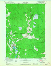 1948 Columbia Falls1968 Print · USGSCoastal Maine in the late 1940s is defined by its winding rivers and the rail economy of the Maine Central line. Genealogists and historians can trace the foundations of Columbia Falls, find the remote Jonesboro Station, or locate family landmarks like Patten Hill and Staple Ridge.2 unique versions available
 - 1948 Map of Drisko Island, 1969 Print
 1948 Drisko Island1969 Print · USGSCoastal Washington County is seen here in the late 1940s, documenting a complex network of islands and navigational ledges. Researchers can trace maritime landmarks like Big Nash Island, Cape Split, and the hazardous Drown Boys Ledges along the shoreline.2 unique versions available
 - 1948 Map of Harrington, 1971 Print
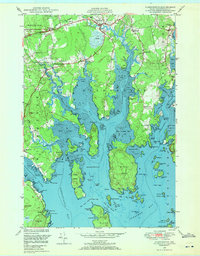 1948 Harrington1971 Print · USGSThe Downeast coast of Maine in the late 1940s reveals a landscape of tidal rivers and scattered coastal hamlets. Genealogists and historians can trace the foundations of Harrington and Marshville, locating community landmarks like Flat Bay Cem, Union Ch, and Eastside Sch.2 unique versions available
 - 1948 Map of Addison, 1973 Print
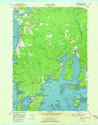 1948 Addison1973 Print · USGSThe Downeast coast of Maine in the late 1940s is captured here, showing the intricate shoreline and rural crossroads of Washington County. Researchers can locate early educational landmarks like The Basin School, family cemeteries, and coastal reaches from Addison to Cape Split.2 unique versions available
 - 1950 Map of Drisko Island
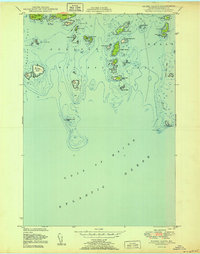 1950 Drisko Island1950 Print · USGSCoastal Washington County is shown here during the mid-century, mapping the intricate islands and ledges between Pleasant Bay and the Atlantic. Mariners and local historians can trace maritime landmarks like Big Nash Island, Cape Split Harbor, and the Tibbett Narrows.
 - 1950 Map of Petit Manan
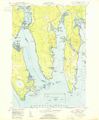 1950 Petit Manan1950 Print · USGSCoastal Washington and Hancock counties are seen here at mid-century, defined by lobster harbors and the shifting tides of the Atlantic. Researchers can trace family names and local landmarks from Corea to Dyer Harbor, including the Corea Cem and Long Mill Cove.
 - 1950 Map of Bois Bubert
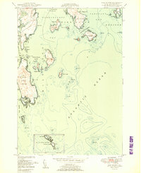 1950 Bois Bubert1950 Print · USGSThe Maine coastline near Addison and Harrington is captured here at the mid-century, showing a maritime landscape of islands and harbors. Researchers can trace family-named landmarks like Tom Leighton Point and find offshore aids like the lighthouse.3 unique versions available
 - 1951 Map of Addison
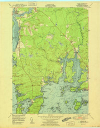 1951 Addison1951 Print · USGSCoastal Washington County is depicted here in the early fifties, showing the intricate tidal network of the Downeast shore. Researchers can trace the layout of waterfront communities like South Addison and locate vanished landmarks such as the Upper East Side School.
 - 1951 Map of Harrington
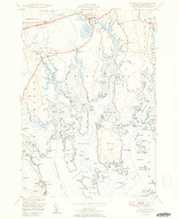 1951 Harrington1951 Print · USGSCoastal Washington County is captured here in the mid-century, showcasing a landscape of tidal inlets and small Down East villages. Researchers can locate family landmarks like Rock Maple Cem, the Union Ch, and rural schoolhouses including Marshville Sch.2 unique versions available
 - 1951 Map of Columbia Falls
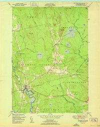 1951 Columbia Falls1951 Print · USGSCoastal Washington County during the mid-century period shows a landscape defined by timber, rail, and the tides. Genealogists and historians can trace family locations near Columbia Falls, Jonesboro Station, and the heights of Milton Mtn.
 - 1953 Map of Bois Bubert
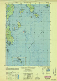 1953 Bois Bubert1953 Print · USGSCoastal Washington County is seen here in the early 1950s, a period defined by its intricate network of islands and working waterfronts. Researchers can trace historic maritime landmarks and family-named points like Tom Leighton Point, Jordans Delight, and the Trafton Halftide Beacon.
 - 1953 Map of Columbia Falls
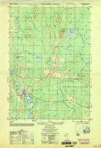 1953 Columbia Falls1953 Print · USGSCoastal Washington County is captured here in the early fifties, showing the rail-and-river economy of the Downeast region. Genealogists can locate the Central District and Columbia Falls settlement, while tracing the old Maine Central rail line.
 - 1961 Map of Eastport
 1961 Eastport1961 Print · USGSThe maritime borderlands of Maine and New Brunswick are captured here in the early sixties, showing a world defined by the Bay of Fundy. Researchers can trace the Maine Central Railroad to Machiasport or explore remote island villages like Grand Harbour and Welchpool.
 - 1969 Map of Eastport
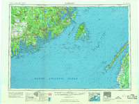 1969 Eastport1969 Print · USGSThe maritime borderlands of Washington County and New Brunswick appear in detail during the late sixties. Researchers can trace historic rail lines like the Maine Central Railroad and explore coastal settlements from Machias to St. Andrews.
 - 1976 Map of Eastport
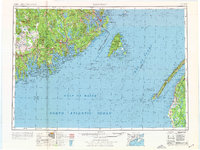 1976 Eastport1976 Print · USGSThe maritime borderlands of Maine and Nova Scotia come alive in this mid-seventies survey of the Downeast coast. Genealogists and historians can trace the shoreline settlements of Eastport, Lubec, and Machias, or cross the channel to find Acadian villages like Church Point and Meteghan Centre.
 - 1984 Map of Epping, 1985 Print
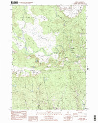 1984 Epping1985 Print · USGSCoastal Washington County in the late seventies is captured here, showing a landscape defined by vast peatlands and small river settlements. Researchers can locate Columbia Cem, the Little River Ch, and the winding Pleasant River through the Great Heath.2 unique versions available
Showing maps 1-25 of 58
Top cities near Addison
- Machias historical maps
- Gouldsboro historical maps
- Milbridge historical maps
- East Machias historical maps
- Jonesport historical maps
- Steuben historical maps
See more
Top neighborhoods of Addison
Frequently asked questions
- What are the different types of historical maps available for Addison?
- What is the oldest map of Addison?
- Where can I purchase historical maps of Addison for my home or office?
- Where can I download high-res historical maps of Addison?
- Are there historical topographic maps available for Addison?
- Is there historical aerial imagery available for Addison?
- Where are historical maps of Addison sourced from?