2020s Maps of Addison, Maine
Explore 12 historic maps of Addison from the 2020s. These maps offer a rare glimpse into what life looked like during the 2020s — showing old roads, neighborhoods, homes, and landmarks that have changed or disappeared over time.
Whether you're researching your family's past, planning a metal detecting trip, or studying how Addison's landscape evolved across the 2020s, these high-resolution maps are a powerful tool for exploring the history of this region.
- Focus on a specific era: All maps on this page are from the 2020s, giving you a focused view of this time period.
- See what’s changed: Compare century-old streets, trails, and buildings to today's modern landscape using overlays and satellite layers.
- Research with precision: Use these maps for genealogy, historical research, land use analysis, or educational projects.
- View, download, or print: Maps are fully viewable online in high resolution, and can be downloaded or printed for your own records.
Start exploring Addison's history through authentic maps from the 2020s. This is your window into the past.
Addison, ME maps
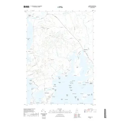
(12)- 2021 Map of Harrington, 2021 Print
 2021 Harrington2021 Print · USGSCovers Addison, including Milbridge, Cherryfield, and other nearby areas
 - 2021 Map of Columbia Falls, 2021 Print
 2021 Columbia Falls2021 Print · USGSCovers Addison, including Jonesboro, Columbia Falls, and other nearby areas
 - 2021 Map of Bois Bubert, 2021 Print
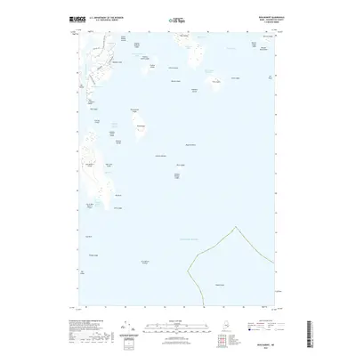 2021 Bois Bubert2021 Print · USGSCovers Addison, including Milbridge, Steuben, and other nearby areas
 - 2021 Map of Addison, 2021 Print
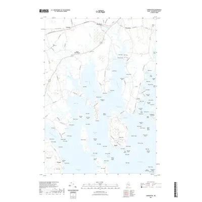
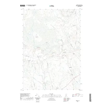
 2021 Addison2021 Print · USGSCovers Addison, including Jonesport, Jonesboro, and other nearby areas
 - 2021 Map of Epping, 2021 Print
 2021 Epping2021 Print · USGSCovers Addison, including Cherryfield, Harrington, and other nearby areas
 - 2021 Map of Drisko Island, 2021 Print
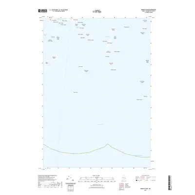 2021 Drisko Island2021 Print · USGSCovers Addison, including Beals, Washington County, and other nearby areas
 - 2024 Map of Epping, 2024 Print
 2024 Epping2024 Print · USGSCoastal Washington County is documented here in the early twenty-first century, showing the relationship between small villages and the vast Downeast wetlands. Researchers can locate family burial sites at John F Dorr Family Cemetery and trace terrain markers like Pineo Ridge or the Great Heath.
 - 2024 Map of Columbia Falls, 2024 Print
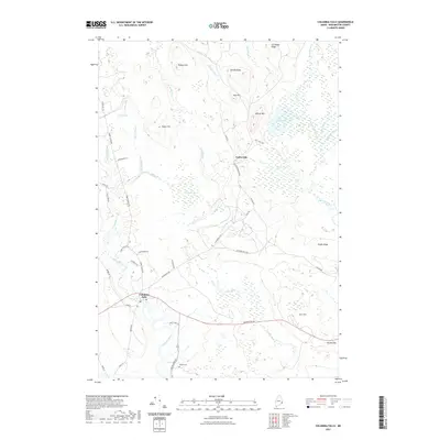
 2024 Columbia Falls2024 Print · USGSThe coastal town of Columbia Falls and the inland woods of Centerville appear here in the early twenty-first century. Researchers can locate family burial plots at Merritt Cem and Greenwood Cem or trace the winding course of the Pleasant River.
 - 2024 Map of Harrington, 2024 Print
 2024 Harrington2024 Print · USGSHarrington and the surrounding Washington County coastline are shown here in recent years, revealing a landscape of deep tidal coves and rugged peninsulas. Researchers can locate family burial sites like Rock Maple Cem or trace old coastal roads through Marshville and Ripley.
 - 2024 Map of Bois Bubert, 2024 Print
 2024 Bois Bubert2024 Print · USGSCoastal Washington County is presented in its modern maritime configuration, where the Petit Manan National Wildlife Refuge spans a rugged chain of islands. Trace local family names and landmarks from Tom Leighton Point to the sheltered waters of Little Bois Bubert Harbor.
 - 2024 Map of Drisko Island, 2024 Print
 2024 Drisko Island2024 Print · USGSThe Washington County coast is mapped here in the early twenty-first century, showing the protected reaches of the Petit Manan National Wildlife Refuge. Seafarers and historians can trace the intricate shoreline from Cape Split Harbor to the outer reaches of Big Nash Island and Drisko Island.
 - 2024 Map of Addison, 2024 Print
 2024 Addison2024 Print · USGSCoastal Washington County is defined here by its complex tidal rivers and island-dotted bays in this modern survey. Researchers can trace landownership and community landmarks from the settlements of Addison and South Addison to the historic Wescogus Cem and Indian River Cem.
End of results
Showing maps 1-12 of 12
Top cities near Addison
- Machias historical maps
- Gouldsboro historical maps
- Milbridge historical maps
- East Machias historical maps
- Jonesport historical maps
- Steuben historical maps
See more
Top neighborhoods of Addison
Frequently asked questions
- What are the different types of historical maps available for Addison?
- What is the oldest map of Addison?
- Where can I purchase historical maps of Addison for my home or office?
- Where can I download high-res historical maps of Addison?
- Are there historical topographic maps available for Addison?
- Is there historical aerial imagery available for Addison?
- Where are historical maps of Addison sourced from?