Old Maps of Calais, Maine for Metal Detecting
Plan your next treasure hunt with 43 historic maps of Calais. Find old homesites, ghost towns, trails, and gathering spots that may be lost to time — perfect for identifying promising metal detecting locations.
- Locate forgotten sites: Uncover places like long-lost settlements, abandoned rail lines, or gathering spots.
- Plan better hunts: Use map overlays combined with LiDAR or satellite views to narrow in on historically rich areas.
- Made for detectorists: Thousands of hobbyists use these maps to discover relics, coins, and hidden history.
Use these historic maps to boost your research and find new opportunities beneath the surface of Calais.
Calais, ME maps
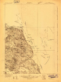
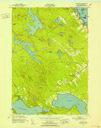
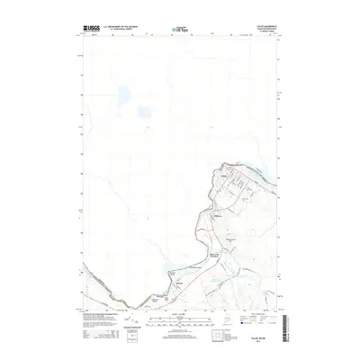
(43)- 1929 Map of Calais
 1929 Calais1929 Print · USGSThe international border along the St. Croix River comes alive in the late 1920s, showing a landscape defined by rail lines and river industry. Genealogists and historians can trace the foundations of local life at Grove PO, Damon Sch, and the riverside works at Milltown.4 unique versions available
 - 1929 Map of Robbinston
 1929 Robbinston1929 Print · USGSThe Maine-New Brunswick border comes to life in the late twenties as this survey traces the international waters of the St Croix River. Genealogists and historians can locate rural landmarks like South Robbinston Sch, Charlotte Sta, and several coastal lighthouses.3 unique versions available
 - 1931 Map of Robbinston
 1931 Robbinston1931 Print · USGSThe Maine coast near Robbinston and the Canadian border is captured here during the interwar years as a landscape of maritime navigation and rural communities. Genealogists can trace family landmarks and local schools like Bog Brook Sch, Shore Sch, and the riverside village of Red Beach.4 unique versions available
 - 1932 Map of Calais
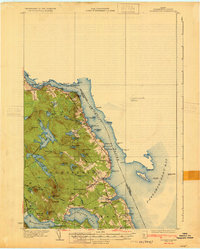
 1932 Calais1932 Print · USGSCoastal Washington County at the start of the 1930s is defined by the international river border and the busy corridors of the Maine Central RR. Genealogists and local historians can locate old rural schoolhouses like Damon Sch or trace the timber-and-rail industry through Woodland Junc and Young Siding.4 unique versions available
 - 1949 Map of Robbinston, 1952 Print
 1949 Robbinston1952 Print · USGSThe international boundary at the St Croix River comes to life in the late 1940s, showing the connection between Maine and New Brunswick. Researchers can trace the Canadian Pacific rail line, locate the Back District Ch, or find the U S Customs post at Robbinston.3 unique versions available
 - 1949 Map of Calais, 1952 Print
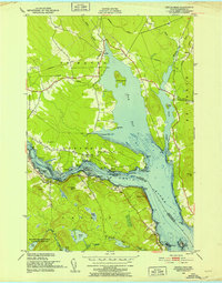
 1949 Calais1952 Print · USGSLife along the international border in the late 1940s centered on the St Croix River and its shared industrial heritage. Researchers can trace the rail lines of the Maine Central and find localized landmarks like Upper Mills, Campbells Siding, and the St Croix Golf Course.3 unique versions available
 - 1949 Map of Red Beach, 1952 Print
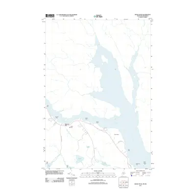
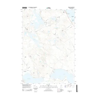
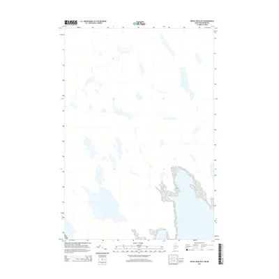
 1949 Red Beach1952 Print · USGSThe St. Croix River waterfront and the rugged lake country of Washington County are shown here in the years following the war. Researchers can locate the South Robbinston Ridge Sch, the Robbinston Ridge Ch, and local landmarks like Little Dochet Island and Fairview Cem.3 unique versions available
 - 1949 Map of Devils Head, 1952 Print
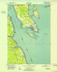
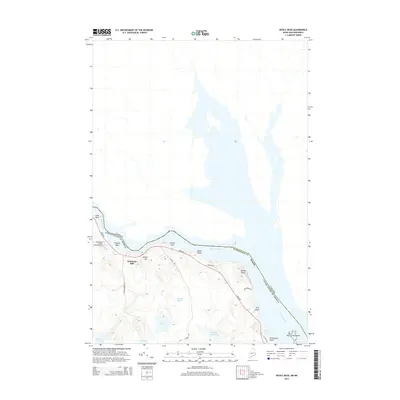
 1949 Devils Head1952 Print · USGSThe international waters of the St Croix River and Oak Bay are documented here just after the war, showing the borderlands of Maine and New Brunswick. Researchers can trace historic maritime activity through markers like Whitlocks Mill, the Mark Lighthouse, and Cribbing Ruins.4 unique versions available
 - 1954 Map of Calais
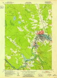
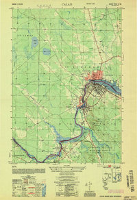 1954 Calais1954 Print · USGSIn the mid-1950s, the international border at Calais was a bustling corridor of rail and river industry. Researchers can trace the legacy of timber and transport through sites like Union Mills, the Canadian Pacific line, and Campbells Siding.
 - 1957 Map of Fredericton, 1981 Print
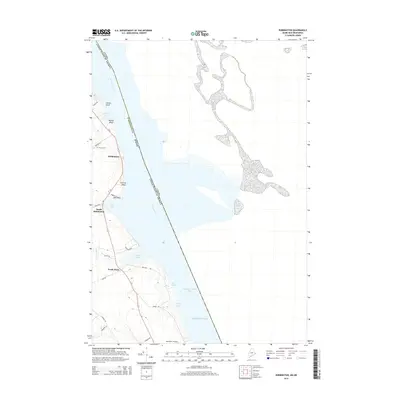
 1957 Fredericton1981 Print · USGSThe New Brunswick and Maine borderlands come into focus in the mid-fifties, dominated by the Saint John River and massive military tracts. Genealogists can locate riverfront hamlets like Maugerville or inland sites like Scotch Settlement along the Canadian Pacific rail line.
 - 1963 Map of Fredericton
 1963 Fredericton1963 Print · USGSThe Saint John River valley and the Maine-New Brunswick border are captured here during the early sixties. Researchers can trace the Canadian Pacific rail lines through rural settlements like Jewetts Mills, Mckeens Corner, and Scotch Settlement.
 - 1986 Map of Calais
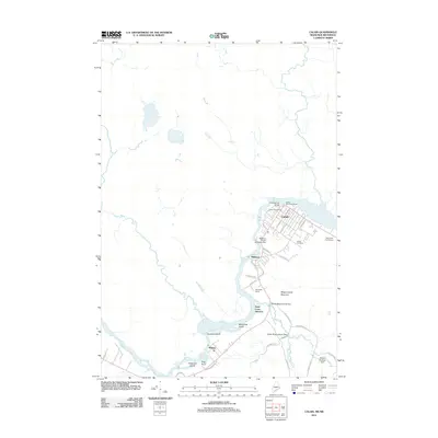
 1986 Calais1986 Print · USGSCoastal and interior Washington County are captured here in the mid-1980s, where the international border follows the winding St Croix River. Genealogists and historians can trace the rail lines of the Maine Central and find landmarks like Red Beach and Princeton Airport.
 - 1987 Map of Meddybemps Lake East, 1988 Print
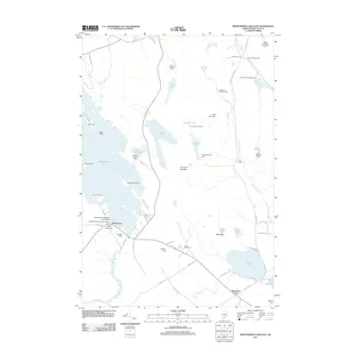
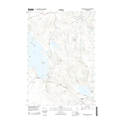
 1987 Meddybemps Lake East1988 Print · USGSMeddybemps and the surrounding Maine lake country are documented here in the late twentieth century. Genealogists and local historians can trace family locations near Meddybemps village and Blanchard Corner or locate the lakeside Cem.
 - 1994 Map of Calais
 1994 Calais1994 Print · USGSEastern Maine's river and lake country comes into focus in the 1990s, centered on the international border at Calais and the vast Passamaquoddy Indian Reservation. Researchers can trace the water-linked settlements of Grand Lake Stream, the airfield at Princeton Airport, and the industrial heritage of Woodland.
 - 2011 Map of Red Beach, 2011 Print
 2011 Red Beach2011 Print · USGSCovers Calais, including Perry, Pembroke, and other nearby areas
 - 2011 Map of Robbinston, 2011 Print
 2011 Robbinston2011 Print · USGSCovers Calais, including Saint Andrews, Perry, and other nearby areas
 - 2011 Map of Devils Head, 2011 Print
 2011 Devils Head2011 Print · USGSCovers Calais, including Town of Saint Andrews, Oak Bay, and other nearby areas
 - 2011 Map of Meddybemps Lake East, 2011 Print
 2011 Meddybemps Lake East2011 Print · USGSCovers Calais, including Baileyville, Alexander, and other nearby areas
 - 2011 Map of Calais, 2011 Print
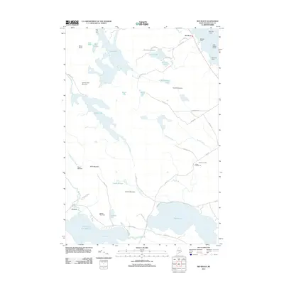
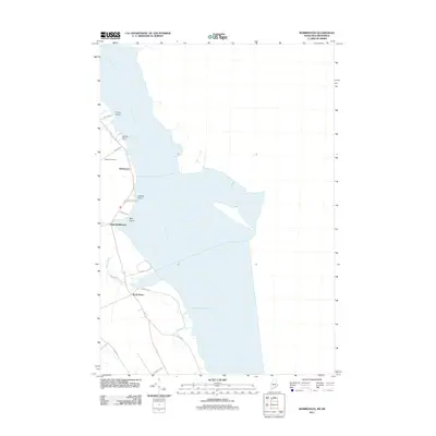
 2011 Calais2011 Print · USGSCovers Calais, including Saint Stephen, Baileyville, and other nearby areas
 - 2014 Map of Meddybemps Lake East, 2014 Print
 2014 Meddybemps Lake East2014 Print · USGSCovers Calais, including Baileyville, Alexander, and other nearby areas
 - 2014 Map of Robbinston, 2014 Print
 2014 Robbinston2014 Print · USGSCovers Calais, including Saint Andrews, Perry, and other nearby areas
 - 2014 Map of Red Beach, 2014 Print
 2014 Red Beach2014 Print · USGSCovers Calais, including Perry, Pembroke, and other nearby areas
 - 2014 Map of Devils Head, 2014 Print
 2014 Devils Head2014 Print · USGSCovers Calais, including Town of Saint Andrews, Oak Bay, and other nearby areas
 - 2014 Map of Calais, 2014 Print
 2014 Calais2014 Print · USGSCovers Calais, including Saint Stephen, Baileyville, and other nearby areas
 - 2014 Map of Devils Head OE E, 2014 Print
 2014 Devils Head OE E2014 Print · USGSCovers Calais, including Town of Saint Andrews, Bocabec Cove, and other nearby areas
Showing maps 1-25 of 43
Top cities near Calais
- Baileyville historical maps
- Eastport historical maps
- Lubec historical maps
- Perry historical maps
- Pembroke historical maps
- Pleasant Point / Sipayik historical maps
See more
Top neighborhoods of Calais
Frequently asked questions
- What are the different types of historical maps available for Calais?
- What is the oldest map of Calais?
- Where can I purchase historical maps of Calais for my home or office?
- Where can I download high-res historical maps of Calais?
- Are there historical topographic maps available for Calais?
- Is there historical aerial imagery available for Calais?
- Where are historical maps of Calais sourced from?