2000s (21st Century) Maps of Calais, Maine
Explore 29 historic maps of Calais from the 2000s (21st Century). These maps offer a rare glimpse into what life looked like during the 2000s — showing old roads, neighborhoods, homes, and landmarks that have changed or disappeared over time.
Whether you're researching your family's past, planning a metal detecting trip, or studying how Calais's landscape evolved across the 2000s, these high-resolution maps are a powerful tool for exploring the history of this region.
- Focus on a specific era: All maps on this page are from the 2000s, giving you a focused view of this time period.
- See what’s changed: Compare century-old streets, trails, and buildings to today's modern landscape using overlays and satellite layers.
- Research with precision: Use these maps for genealogy, historical research, land use analysis, or educational projects.
- View, download, or print: Maps are fully viewable online in high resolution, and can be downloaded or printed for your own records.
Start exploring Calais's history through authentic maps from the 2000s. This is your window into the past.
Calais, ME maps
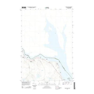
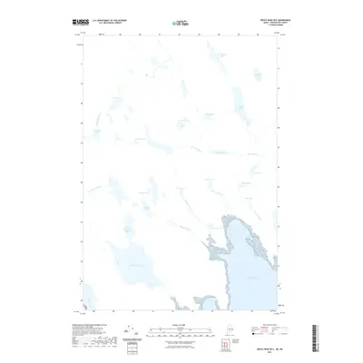
(29)- 2011 Map of Red Beach, 2011 Print
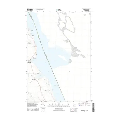
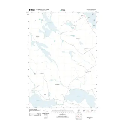 2011 Red Beach2011 Print · USGSCovers Calais, including Perry, Pembroke, and other nearby areas
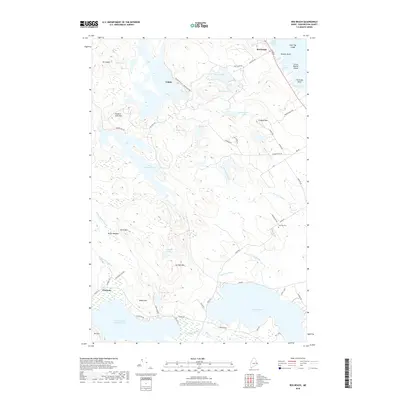
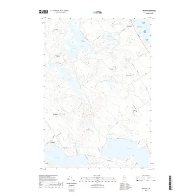
 - 2011 Map of Robbinston, 2011 Print
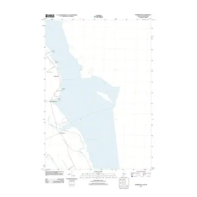 2011 Robbinston2011 Print · USGSCovers Calais, including Saint Andrews, Perry, and other nearby areas
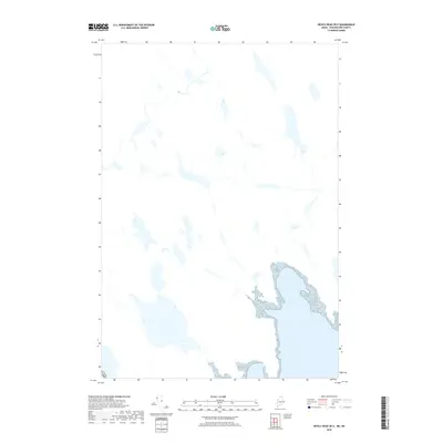
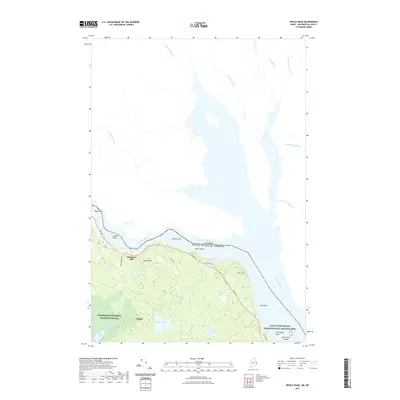
 - 2011 Map of Devils Head, 2011 Print
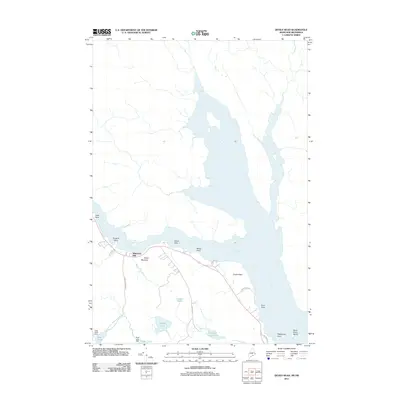 2011 Devils Head2011 Print · USGSCovers Calais, including Town of Saint Andrews, Oak Bay, and other nearby areas
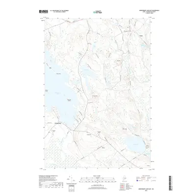
 - 2011 Map of Meddybemps Lake East, 2011 Print
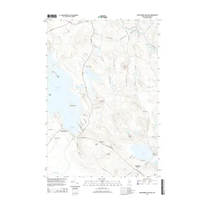
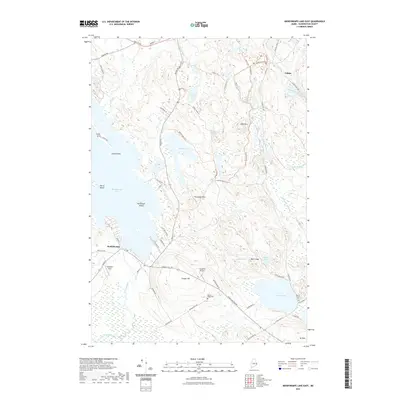
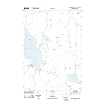 2011 Meddybemps Lake East2011 Print · USGSCovers Calais, including Baileyville, Alexander, and other nearby areas
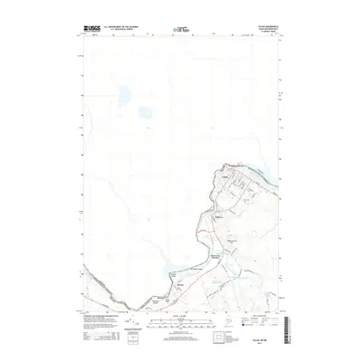
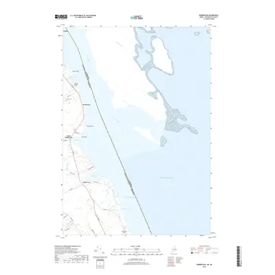
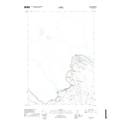
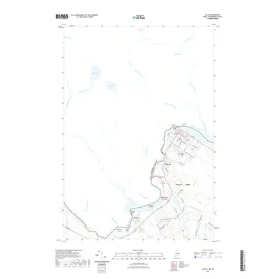
 - 2011 Map of Calais, 2011 Print
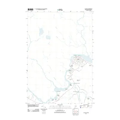 2011 Calais2011 Print · USGSCovers Calais, including Saint Stephen, Baileyville, and other nearby areas
 - 2014 Map of Meddybemps Lake East, 2014 Print
 2014 Meddybemps Lake East2014 Print · USGSCovers Calais, including Baileyville, Alexander, and other nearby areas
 - 2014 Map of Robbinston, 2014 Print
 2014 Robbinston2014 Print · USGSCovers Calais, including Saint Andrews, Perry, and other nearby areas
 - 2014 Map of Red Beach, 2014 Print
 2014 Red Beach2014 Print · USGSCovers Calais, including Perry, Pembroke, and other nearby areas
 - 2014 Map of Devils Head, 2014 Print
 2014 Devils Head2014 Print · USGSCovers Calais, including Town of Saint Andrews, Oak Bay, and other nearby areas
 - 2014 Map of Calais, 2014 Print
 2014 Calais2014 Print · USGSCovers Calais, including Saint Stephen, Baileyville, and other nearby areas
 - 2014 Map of Devils Head OE E, 2014 Print
 2014 Devils Head OE E2014 Print · USGSCovers Calais, including Town of Saint Andrews, Bocabec Cove, and other nearby areas
 - 2018 Map of Red Beach, 2018 Print
 2018 Red Beach2018 Print · USGSCovers Calais, including Perry, Pembroke, and other nearby areas
 - 2018 Map of Robbinston, 2018 Print
 2018 Robbinston2018 Print · USGSCovers Calais, including Saint Andrews, Perry, and other nearby areas
 - 2018 Map of Calais, 2018 Print
 2018 Calais2018 Print · USGSCovers Calais, including Saint Stephen, Baileyville, and other nearby areas
 - 2018 Map of Meddybemps Lake East, 2018 Print
 2018 Meddybemps Lake East2018 Print · USGSCovers Calais, including Baileyville, Alexander, and other nearby areas
 - 2018 Map of Devils Head OE E, 2018 Print
 2018 Devils Head OE E2018 Print · USGSCovers Calais, including Town of Saint Andrews, Bocabec Cove, and other nearby areas
 - 2018 Map of Devils Head, 2018 Print
 2018 Devils Head2018 Print · USGSCovers Calais, including Town of Saint Andrews, Oak Bay, and other nearby areas
 - 2021 Map of Devils Head OE E, 2021 Print
 2021 Devils Head OE E2021 Print · USGSCovers Calais, including Town of Saint Andrews, Bocabec Cove, and other nearby areas
 - 2021 Map of Calais, 2021 Print
 2021 Calais2021 Print · USGSCovers Calais, including Saint Stephen, Baileyville, and other nearby areas
 - 2021 Map of Robbinston, 2021 Print
 2021 Robbinston2021 Print · USGSCovers Calais, including Saint Andrews, Perry, and other nearby areas
 - 2021 Map of Devils Head, 2021 Print
 2021 Devils Head2021 Print · USGSCovers Calais, including Town of Saint Andrews, Oak Bay, and other nearby areas
 - 2021 Map of Red Beach, 2021 Print
 2021 Red Beach2021 Print · USGSCovers Calais, including Perry, Pembroke, and other nearby areas
 - 2021 Map of Meddybemps Lake East, 2021 Print
 2021 Meddybemps Lake East2021 Print · USGSCovers Calais, including Baileyville, Alexander, and other nearby areas
 - 2024 Map of Devils Head, 2024 Print
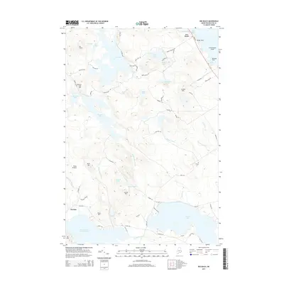
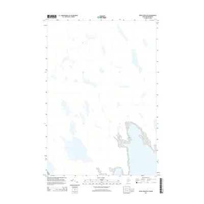
 2024 Devils Head2024 Print · USGSThe international border along the St. Croix River defines this part of Washington County in the 2020s. Local historians can trace the shoreline from Whitlocks Mill past Devils Head to the historic Saint Croix Island, along with the forested trails of Moosehorn National Wildlife Refuge.
 - 2024 Map of Meddybemps Lake East, 2024 Print
 2024 Meddybemps Lake East2024 Print · USGSIn the forested interior of Washington County, this modern map details the protected wilderness and small settlements of the Maine woods. Researchers can locate family burial grounds like Damon Ridge Cem or trace the early paths of Airline Rd through the Moosehorn National Wildlife Refuge.
Showing maps 1-25 of 29
Top cities near Calais
- Baileyville historical maps
- Eastport historical maps
- Lubec historical maps
- Perry historical maps
- Pembroke historical maps
- Pleasant Point / Sipayik historical maps
See more
Top neighborhoods of Calais
Frequently asked questions
- What are the different types of historical maps available for Calais?
- What is the oldest map of Calais?
- Where can I purchase historical maps of Calais for my home or office?
- Where can I download high-res historical maps of Calais?
- Are there historical topographic maps available for Calais?
- Is there historical aerial imagery available for Calais?
- Where are historical maps of Calais sourced from?