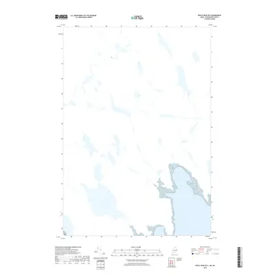
2018 Map of Devils Head OE E
USGS Topo · Published 2018About this map
The international border between Canada and the Usa defines the lower-left corner of this specialized hydrographic study, which focuses on the aquatic landscape of eastern Washington County. The map is defined by a dense network of lakes, ponds, and interconnected waterways that dominate the terrain north of the tidal influence. The detailed mapping of these water bodies and wetlands highlights the unique geography of the Maine borderlands, where the land-water interface creates a complex mosaic. This particular edition emphasizes hydrographic data over terrestrial settlements, providing a clear view of the natural drainage patterns and shorelines as they existed in the early twenty-first century.
Find a feature on this map
1 named feature on this map. Tap any name to fly to it.
Don’t see what you’re looking for? This feature index may not catch every label — zoom into the map to look around manually.
Map Details
Editions of this 2018 Devils Head OE E Map
This is the sole edition of this map. No revisions or reprints were ever made.
Other maps of this area

1929 · Robbinston
USGS Topo · 1:48,000

1931 · Robbinston
USGS Topo · 1:62,500

1949 · Robbinston
USGS Topo · 1:24,000

1949 · Red Beach
USGS Topo · 1:24,000

1949 · Devils Head
USGS Topo · 1:24,000

1957 · Fredericton
USGS Topo · 1:250,000

1963 · Fredericton
USGS Topo · 1:250,000
1986 · Calais
USGS Topo · 1:100,000
1994 · Calais
USGS Topo · 1:100,000
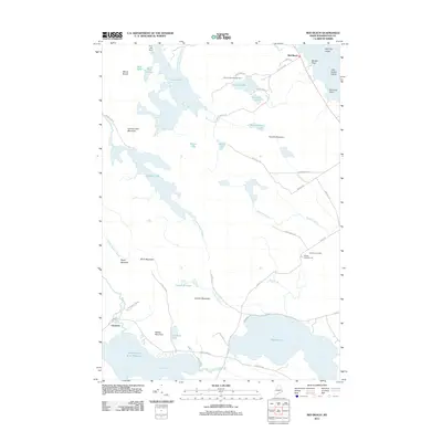
2011 · Red Beach
USGS Topo · 1:24,000