2010s Maps of Deblois, Maine
Explore 12 historic maps of Deblois from the 2010s. These maps offer a rare glimpse into what life looked like during the 2010s — showing old roads, neighborhoods, homes, and landmarks that have changed or disappeared over time.
Whether you're researching your family's past, planning a metal detecting trip, or studying how Deblois's landscape evolved across the 2010s, these high-resolution maps are a powerful tool for exploring the history of this region.
- Focus on a specific era: All maps on this page are from the 2010s, giving you a focused view of this time period.
- See what’s changed: Compare century-old streets, trails, and buildings to today's modern landscape using overlays and satellite layers.
- Research with precision: Use these maps for genealogy, historical research, land use analysis, or educational projects.
- View, download, or print: Maps are fully viewable online in high resolution, and can be downloaded or printed for your own records.
Start exploring Deblois's history through authentic maps from the 2010s. This is your window into the past.
Deblois, ME maps
(12)- 2011 Map of Schoodic Lake, 2011 Print
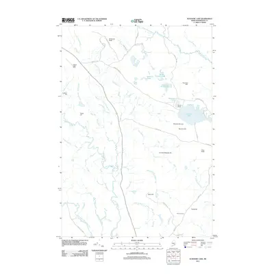 2011 Schoodic Lake2011 Print · USGSWashington County’s interior landscape comes into focus here during the early twenty-first century, showing a terrain defined by water and agriculture. Researchers can locate the Morse Cemetery and trace the drainage of the Narraguagus River past the Deblois Flight Strip and Blueberry Barrens.
 - 2011 Map of Northeast Bluff, 2011 Print
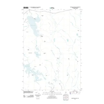 2011 Northeast Bluff2011 Print · USGSWashington County, Maine, was a landscape of remote camps and winding waterways in the early twenty-first century. Genealogists and local historians can locate specific family-named sites like Allison Worcester Camp and Pineo Camp or trace the drainage of the Bog Brook Flowage.
 - 2011 Map of Tunk Mountain, 2011 Print
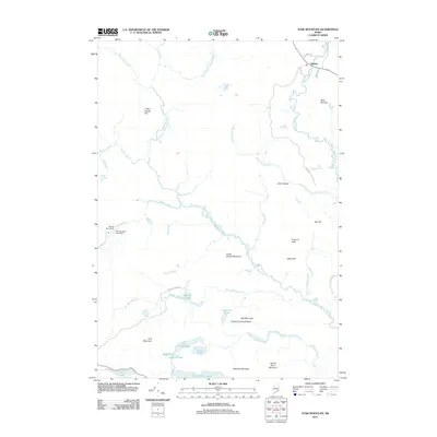 2011 Tunk Mountain2011 Print · USGSThe Maine wilderness near Deblois is shown in detail during the early 21st century, centered on the complex waterways of the West Branch Narraguagus River. Researchers can trace the local topography from Tunk Mountain to the shores of Spring River Lake and Myrick Lake.
 - 2011 Map of Lead Mountain, 2011 Print
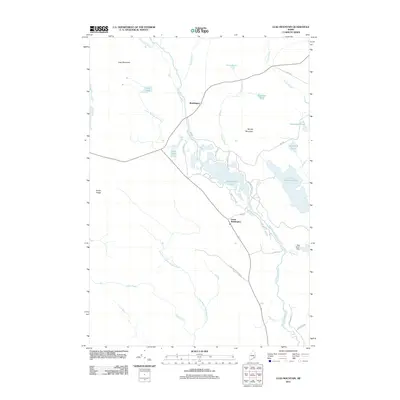 2011 Lead Mountain2011 Print · USGSThe Narraguagus River valley in the early 2010s was a landscape of remote ponds and timber roads. Researchers can trace the layout of Beddington and Lower Beddington or locate landmarks like the Bog Brook Dam and Lead Mountain.
 - 2014 Map of Northeast Bluff, 2014 Print
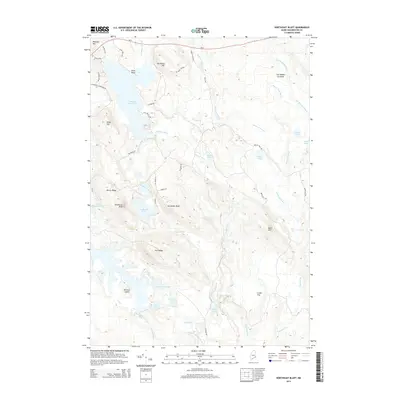 2014 Northeast Bluff2014 Print · USGSThe wilderness of eastern Maine is captured here in the early twenty-first century, showing a landscape defined by water and ridgelines. Trace the remote network of ponds and streams including Spruce Mountain Lake, Otter Pond, and the Pleasant River.
 - 2014 Map of Lead Mountain, 2014 Print
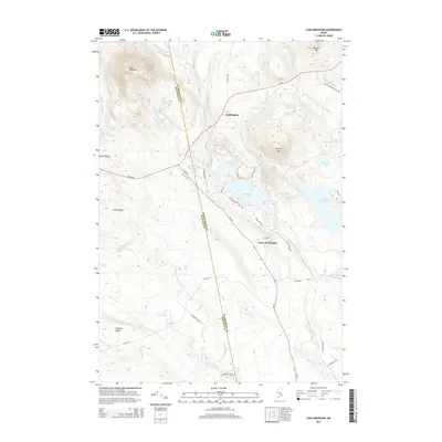 2014 Lead Mountain2014 Print · USGSBeddington and the surrounding Maine wilderness are captured here in the mid-2010s, showing the intersection of historic transportation routes and glacial waters. Researchers can trace the path of the Airline Rd past Beddington Lake or locate specific elevations like Lead Mountain and Smith Ridge.
 - 2014 Map of Tunk Mountain, 2014 Print
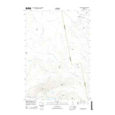 2014 Tunk Mountain2014 Print · USGSThe northern woods of Washington and Hancock counties are documented here in the early twenty-first century, centered on the heights of the Down East interior. Genealogists and hikers can trace the geography around Deblois, the peaks of Tunk Mountain, and the shorelines of Spring River Lake.
 - 2014 Map of Schoodic Lake, 2014 Print
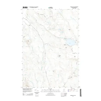 2014 Schoodic Lake2014 Print · USGSThe Maine interior near Cherryfield is captured here in the early twenty-first century, showing a landscape defined by glacial ridges and river systems. Researchers can trace family history at Morse Cem or explore the geography of the Blueberry Barrens and Schoodic Lake.
 - 2018 Map of Northeast Bluff, 2018 Print
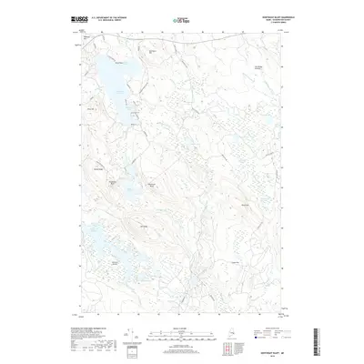 2018 Northeast Bluff2018 Print · USGSThe Washington County interior in the 2010s is a landscape of glacial bluffs and interconnected waterways. Researchers can trace the winding shoreline of Pleasant River Lake, identifying landforms like Dorman Island and Northeast Bluff.
 - 2018 Map of Tunk Mountain, 2018 Print
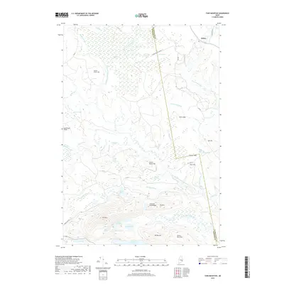 2018 Tunk Mountain2018 Print · USGSThe interior of Washington and Hancock Counties is shown here in the late 2010s, centered on the high peaks and sprawling heaths west of the Narraguagus River. Researchers can trace the drainage of Spring River Lake and locate landmarks like Deblois, Tunk Mtn, and Fremont Peak.
 - 2018 Map of Lead Mountain, 2018 Print
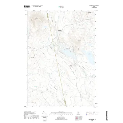 2018 Lead Mountain2018 Print · USGSBeddington and the Washington County interior are captured here in the late 2010s, showing a landscape defined by timber tracts and glacial lakes. Researchers can trace local landmarks like Schoppe Ridge, the remote Lead Mtn, and the winding Narraguagus River.
 - 2018 Map of Schoodic Lake, 2018 Print
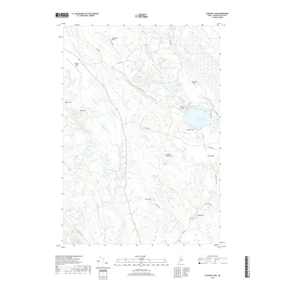 2018 Schoodic Lake2018 Print · USGSThis corner of Washington County is defined by its massive wetlands and river systems as they appeared in the early twenty-first century. Researchers can trace the Morse Cem near Peaked Hill or locate landmarks like the Deblois Flight Strip and Schoodic Lake.
End of results
Showing maps 1-12 of 12
Top cities near Deblois
- Hancock historical maps
- Gouldsboro historical maps
- Franklin historical maps
- Milbridge historical maps
- Sullivan historical maps
- Addison historical maps
See more
Frequently asked questions
- What are the different types of historical maps available for Deblois?
- What is the oldest map of Deblois?
- Where can I purchase historical maps of Deblois for my home or office?
- Where can I download high-res historical maps of Deblois?
- Are there historical topographic maps available for Deblois?
- Is there historical aerial imagery available for Deblois?
- Where are historical maps of Deblois sourced from?