Old Maps of Dyer Township, Maine for Academic Research
Study the evolution of Dyer Township with 32 high-resolution historic maps. Whether you're teaching, researching, or modeling changes in land use, these maps provide essential visual documentation of urban, environmental, and geographic change.
- Analyze long-term change: Track patterns in development, transportation, and natural features.
- Ideal for environmental or urban studies: Support academic projects with primary historical map data.
- Use in the classroom or lab: Educators and researchers rely on these maps to bring historical context to life.
These maps are a powerful tool for teaching, research, and visualizing how Dyer Township has changed over the decades.
Dyer Township, ME maps
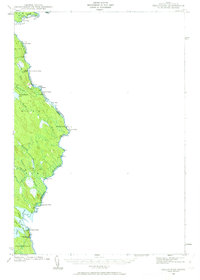
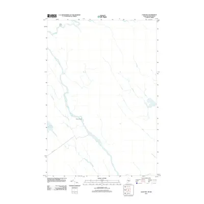
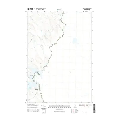
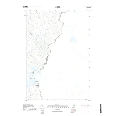
(32)- 1940 Map of Waite, 1959 Print
 1940 Waite1959 Print · USGSThe Maine-Canada borderlands near the St. Croix River were a patchwork of timber camps and family farms just before the war. Researchers can trace the heritage of remote sites like Keeley Farm, the Lamb Place, and camps such as Hamilton Camp.3 unique versions available
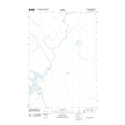
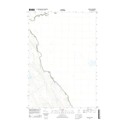
 - 1940 Map of Kellyland, 1963 Print
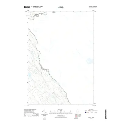
 1940 Kellyland1963 Print · USGSThe international border along the St Croix River comes into focus in this 1940s-era survey. Genealogists and historians can trace the industrial footprint of Kellyland or locate remote sites like Crocker Camp and Grand Falls.3 unique versions available
 - 1942 Map of Kellyland
 1942 Kellyland1942 Print · USGSThe international border along the St Croix River was surveyed in the early 1940s, capturing a remote landscape of river rapids and timber camps. Genealogists and historians can trace old homesteads and landmarks like Kellyland, Crocker Camp, and Grand Falls.2 unique versions available
 - 1942 Map of Waite
 1942 Waite1942 Print · USGSWashington County during the early 1940s reveals a Maine landscape of logging camps and remote farmsteads. Genealogists and local historians can trace family locations at the Lamb Place and Keeley Farm or locate the site of the Kennebec Dam.2 unique versions available
 - 1957 Map of Fredericton, 1981 Print
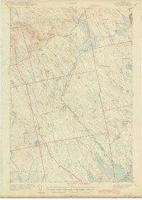
 1957 Fredericton1981 Print · USGSThe New Brunswick and Maine borderlands come into focus in the mid-fifties, dominated by the Saint John River and massive military tracts. Genealogists can locate riverfront hamlets like Maugerville or inland sites like Scotch Settlement along the Canadian Pacific rail line.
 - 1963 Map of Fredericton
 1963 Fredericton1963 Print · USGSThe Saint John River valley and the Maine-New Brunswick border are captured here during the early sixties. Researchers can trace the Canadian Pacific rail lines through rural settlements like Jewetts Mills, Mckeens Corner, and Scotch Settlement.
 - 1986 Map of Calais
 1986 Calais1986 Print · USGSCoastal and interior Washington County are captured here in the mid-1980s, where the international border follows the winding St Croix River. Genealogists and historians can trace the rail lines of the Maine Central and find landmarks like Red Beach and Princeton Airport.
 - 1988 Map of Simsquish Lake
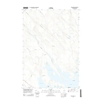
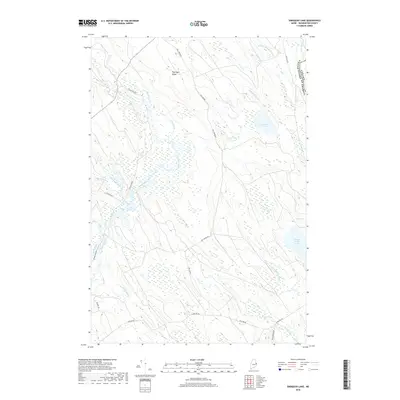
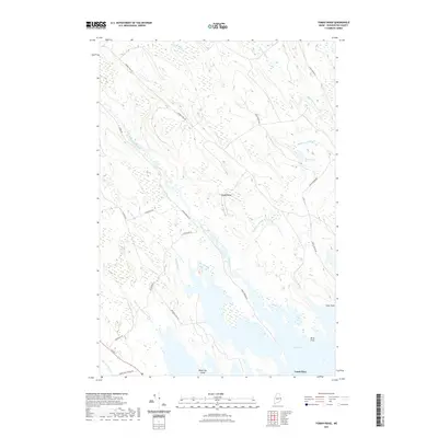
 1988 Simsquish Lake1988 Print · USGSThe Maine-New Brunswick borderlands come into focus in the late eighties, showing a landscape defined by township plantations and wild waterways. Genealogists and historians can trace the Todd Farm and the winding course of Tomah Stream near Simsquish Lake.
 - 1988 Map of Tomah Ridge
 1988 Tomah Ridge1988 Print · USGSThe Passamaquoddy tribal lands and the extensive flowage systems of Washington County are detailed in this late-1980s survey. Researchers can trace family-named sites like Keeley Farm and Lamb Place alongside features like the Sand and Gravel Pit.
 - 1988 Map of Kelleyland
 1988 Kelleyland1988 Print · USGSThe international border along the St. Croix River comes into focus in the late 1980s, showcasing the transition from river to reservoir. Genealogists and researchers can trace the rural landscape of Baileyville through family landmarks like Pomeroy Ridge, Macs Hill, and the old Cem near Hoodleys.
 - 1988 Map of Loon Bay
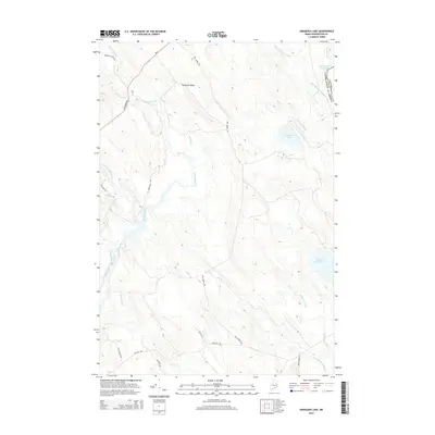
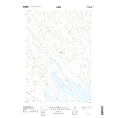
 1988 Loon Bay1988 Print · USGSMaine's international borderland along the St Croix River is captured here during the late eighties. Researchers can trace the river's descent through numerous landmarks like Meetinghouse Rips and Canoose Ledge, or locate the settlement of Beaconsfield.
 - 1994 Map of Calais
 1994 Calais1994 Print · USGSEastern Maine's river and lake country comes into focus in the 1990s, centered on the international border at Calais and the vast Passamaquoddy Indian Reservation. Researchers can trace the water-linked settlements of Grand Lake Stream, the airfield at Princeton Airport, and the industrial heritage of Woodland.
 - 2011 Map of Tomah Ridge, 2011 Print
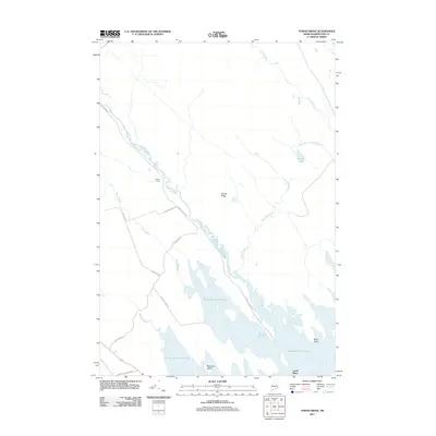 2011 Tomah Ridge2011 Print · USGSCovers Dyer Township, including Baileyville, Princeton, and other nearby areas
 - 2011 Map of Simsquish Lake, 2011 Print
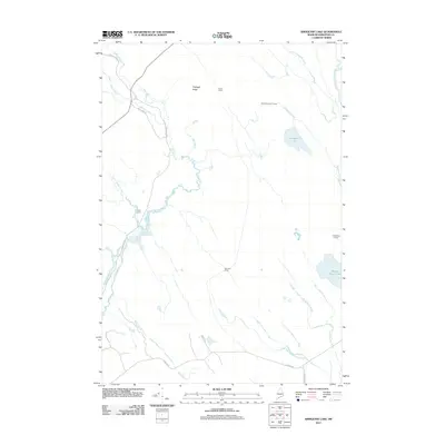 2011 Simsquish Lake2011 Print · USGSCovers Dyer Township, including Waite, Codyville Township, and other nearby areas
 - 2011 Map of Loon Bay, 2011 Print
 2011 Loon Bay2011 Print · USGSCovers Dyer Township, including Lambert Lake Township, Washington County, and other nearby areas
 - 2011 Map of Kelleyland, 2011 Print
 2011 Kelleyland2011 Print · USGSCovers Dyer Township, including Baileyville, Fowler Township, and other nearby areas
 - 2014 Map of Tomah Ridge, 2014 Print
 2014 Tomah Ridge2014 Print · USGSCovers Dyer Township, including Baileyville, Princeton, and other nearby areas
 - 2014 Map of Simsquish Lake, 2014 Print
 2014 Simsquish Lake2014 Print · USGSCovers Dyer Township, including Waite, Codyville Township, and other nearby areas
 - 2014 Map of Kelleyland, 2014 Print
 2014 Kelleyland2014 Print · USGSCovers Dyer Township, including Baileyville, Fowler Township, and other nearby areas
 - 2014 Map of Loon Bay, 2014 Print
 2014 Loon Bay2014 Print · USGSCovers Dyer Township, including Lambert Lake Township, Washington County, and other nearby areas
 - 2018 Map of Simsquish Lake, 2018 Print
 2018 Simsquish Lake2018 Print · USGSCovers Dyer Township, including Waite, Codyville Township, and other nearby areas
 - 2018 Map of Tomah Ridge, 2018 Print
 2018 Tomah Ridge2018 Print · USGSCovers Dyer Township, including Baileyville, Princeton, and other nearby areas
 - 2018 Map of Kelleyland, 2018 Print
 2018 Kelleyland2018 Print · USGSCovers Dyer Township, including Baileyville, Fowler Township, and other nearby areas
 - 2018 Map of Loon Bay, 2018 Print
 2018 Loon Bay2018 Print · USGSCovers Dyer Township, including Lambert Lake Township, Washington County, and other nearby areas
 - 2021 Map of Tomah Ridge, 2021 Print
 2021 Tomah Ridge2021 Print · USGSCovers Dyer Township, including Baileyville, Princeton, and other nearby areas
Showing maps 1-25 of 32
Top cities near Dyer Township
- Calais historical maps
- Baileyville historical maps
- Princeton historical maps
- Indian Township / Motahkomikuk historical maps
- Danforth historical maps
- Topsfield historical maps
See more
Frequently asked questions
- What are the different types of historical maps available for Dyer Township?
- What is the oldest map of Dyer Township?
- Where can I purchase historical maps of Dyer Township for my home or office?
- Where can I download high-res historical maps of Dyer Township?
- Are there historical topographic maps available for Dyer Township?
- Is there historical aerial imagery available for Dyer Township?
- Where are historical maps of Dyer Township sourced from?