1900s (20th Century) Maps of Machias Seal Island, Maine
Explore 10 historic maps of Machias Seal Island from the 1900s (20th Century). These maps offer a rare glimpse into what life looked like during the 1900s — showing old roads, neighborhoods, homes, and landmarks that have changed or disappeared over time.
Whether you're researching your family's past, planning a metal detecting trip, or studying how Machias Seal Island's landscape evolved across the 1900s, these high-resolution maps are a powerful tool for exploring the history of this region.
- Focus on a specific era: All maps on this page are from the 1900s, giving you a focused view of this time period.
- See what’s changed: Compare century-old streets, trails, and buildings to today's modern landscape using overlays and satellite layers.
- Research with precision: Use these maps for genealogy, historical research, land use analysis, or educational projects.
- View, download, or print: Maps are fully viewable online in high resolution, and can be downloaded or printed for your own records.
Start exploring Machias Seal Island's history through authentic maps from the 1900s. This is your window into the past.
Machias Seal Island, ME maps
(10)- 1917 Map of Cutler, 1965 Print
 1917 Cutler1965 Print · USGSCoastal Washington County is shown here during the late First World War era as a landscape of isolated fishing villages and rocky peninsulas. Genealogists and researchers can trace local landmarks like Moose River School, the village of Cutler, and family-named spots such as Harmon Heath.
 - 1918 Map of Cutler
 1918 Cutler1918 Print · USGSThe Downeast coast of Washington County is captured here just after the Great War, showing a landscape defined by maritime industry and remote schools. Genealogists can trace early homesteads and community sites like School No 2, Moose River School, and the rocky outposts of Machias Seal I.5 unique versions available
 - 1961 Map of Eastport
 1961 Eastport1961 Print · USGSThe maritime borderlands of Maine and New Brunswick are captured here in the early sixties, showing a world defined by the Bay of Fundy. Researchers can trace the Maine Central Railroad to Machiasport or explore remote island villages like Grand Harbour and Welchpool.
 - 1969 Map of Eastport
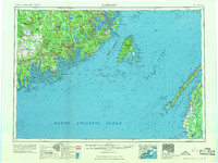 1969 Eastport1969 Print · USGSThe maritime borderlands of Washington County and New Brunswick appear in detail during the late sixties. Researchers can trace historic rail lines like the Maine Central Railroad and explore coastal settlements from Machias to St. Andrews.
 - 1976 Map of Eastport
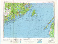 1976 Eastport1976 Print · USGSThe maritime borderlands of Maine and Nova Scotia come alive in this mid-seventies survey of the Downeast coast. Genealogists and historians can trace the shoreline settlements of Eastport, Lubec, and Machias, or cross the channel to find Acadian villages like Church Point and Meteghan Centre.
 - 1985 Map of Machias, 1986 Print
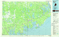 1985 Machias1986 Print · USGSThe Downeast coast of Maine in the 1980s reveals a landscape of deep-water bays, tidal rivers, and isolated timberlands. Researchers can trace the Maine Central rail line and locate coastal landmarks from Leighton Point to the U.S. Naval Radio Station.
 - 1986 Map of Petit Manan Point
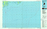 1986 Petit Manan Point1986 Print · USGSThe Downeast Maine coastline in the mid-eighties was a complex landscape of harbors and island chains. Genealogists and historians can trace coastal settlements and maritime landmarks like the Lighthouse on Petit Manan Point and the islands of Mistake Harbor.2 unique versions available
 - 1993 Map of Machias Seal Island South, 1995 Print
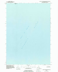 1993 Machias Seal Island South1995 Print · USGSCoastal waters south of the Maine-New Brunswick border are the focus of this maritime survey in the early nineties. Researchers and maritime historians can locate Machias Seal Island and trace the open waters of the Gulf of Maine.
 - 1993 Map of Machias Seal Island, 1995 Print
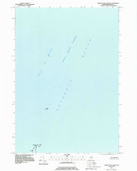 1993 Machias Seal Island1995 Print · USGSCoastal Washington County and the maritime boundary waters are captured here in the early nineties. Maritime researchers can locate the Lighthouse on Machias Seal Island and identify the nearby North Rock amidst the Grand Manan Channel.
 - 1994 Map of Machias
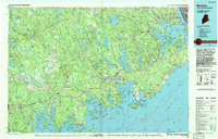 1994 Machias1994 Print · USGSThe Downeast coast of Maine in the 1990s is captured here, from the Narraguagus River to the Canadian border. Genealogists and historians can trace coastal settlements like Jonesboro and Addison or locate the U.S. Naval Radio Station and Moosehorn National Wildlife Refuge.
End of results
Showing maps 1-10 of 10
Top cities near Machias Seal Island
Frequently asked questions
- What are the different types of historical maps available for Machias Seal Island?
- What is the oldest map of Machias Seal Island?
- Where can I purchase historical maps of Machias Seal Island for my home or office?
- Where can I download high-res historical maps of Machias Seal Island?
- Are there historical topographic maps available for Machias Seal Island?
- Is there historical aerial imagery available for Machias Seal Island?
- Where are historical maps of Machias Seal Island sourced from?