Old Maps of Machiasport, Maine for Academic Research
Study the evolution of Machiasport with 37 high-resolution historic maps. Whether you're teaching, researching, or modeling changes in land use, these maps provide essential visual documentation of urban, environmental, and geographic change.
- Analyze long-term change: Track patterns in development, transportation, and natural features.
- Ideal for environmental or urban studies: Support academic projects with primary historical map data.
- Use in the classroom or lab: Educators and researchers rely on these maps to bring historical context to life.
These maps are a powerful tool for teaching, research, and visualizing how Machiasport has changed over the decades.
Machiasport, ME maps
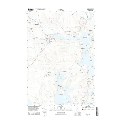
(37)- 1918 Map of Machias
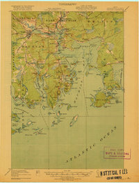 1918 Machias1918 Print · USGSThe Downeast coast of Washington County comes alive in the years during the Great War, showing the maritime and rail infrastructure that drove the regional economy. Genealogists and historians can trace family-named landmarks and old coastal outposts like Dog Town, Fort O'Brien Point, and the Cross Island L S S.5 unique versions available
 - 1941 Map of Machias, 1956 Print
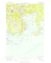 1941 Machias1956 Print · USGSThe rugged Washington County coastline at the start of the 1940s reveals a world defined by the Maine Central railroad and tidal waters. Genealogists and historians can trace family-named landmarks such as Hoyttown, Dog Town, and the defensive site at Fort O'Brien Point.3 unique versions available
 - 1948 Map of Roque Bluffs, 1969 Print
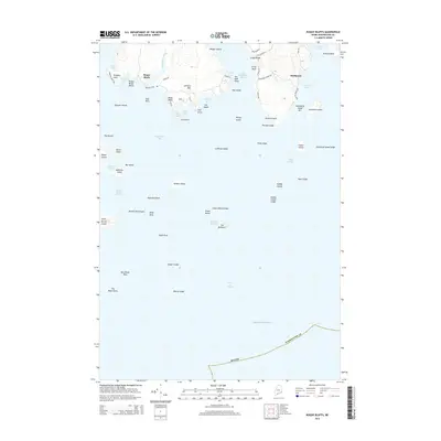
 1948 Roque Bluffs1969 Print · USGSThe Washington County coast is charted here in the years following World War II, showing a shoreline of rocky points and scattered island chains. Genealogists and coastal historians can trace family-named sites like Shoppee Island, Howard Point, and the settlement of Roque Bluffs.2 unique versions available
 - 1949 Map of Machias, 1962 Print
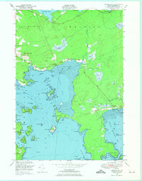
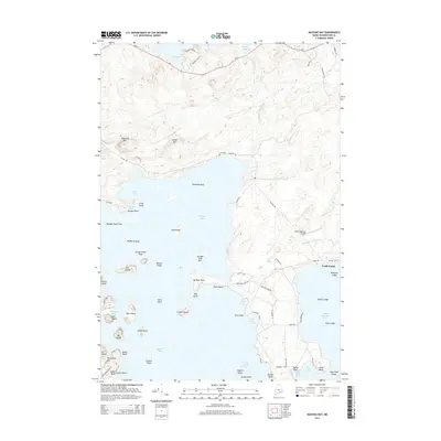
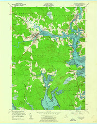 1949 Machias1962 Print · USGSThe Machias area in the late 1940s reflects a classic Maine coastal economy centered on the river and bay. Trace family roots at the Washington State Normal School or explore the waterfronts of Machiasport Station and Bucks Harbor.5 unique versions available
 - 1949 Map of Cross Island, 1969 Print
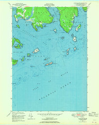
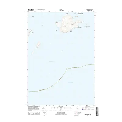
 1949 Cross Island1969 Print · USGSThe Washington County coastline at the end of the 1940s reveals a maritime landscape shaped by navigation and defense. Genealogists and historians can locate the Cross Island Coast Guard Sta and the Lighthouse on the Libby Islands amidst the waters of Machias Bay.2 unique versions available
 - 1949 Map of Machias Bay, 1974 Print
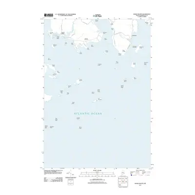
 1949 Machias Bay1974 Print · USGSCoastal Washington County is captured here in the late 1940s, showing the intricate maritime landscape from Machias Bay to Cutler. Genealogists and historians can locate old landmarks like Holmes Bay Ch, Holmes Bay Sch, and the small settlement at Holway.2 unique versions available
 - 1950 Map of Cross Island
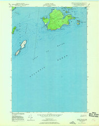
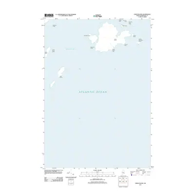
 1950 Cross Island1950 Print · USGSThe Washington County coast at the midpoint of the century is defined by its maritime outposts and hazardous ledges. Trace the legacy of coastal safety at the Cross Island Coast Guard Sta and the Lighthouse on the Libby Islands.
 - 1951 Map of Machias
 1951 Machias1951 Print · USGSCoastal Washington County is captured here in the early fifties, showing the vital rail-and-sea connections of Machias. Genealogists and historians can trace family locations in Dog Town, locate the Longfellow Cem, or explore the grounds of Fort O'Brien Pt.
 - 1951 Map of Machias Bay
 1951 Machias Bay1951 Print · USGSThe Maine coast in the early fifties shows a landscape of tidal flats and rocky points between Holmes Bay and Little Machias Bay. Genealogists and historians can locate the Holmes Bay Ch, the settlement at North Cutler, and family-named landmarks like Pettegrove Mtn.
 - 1951 Map of Roque Bluffs
 1951 Roque Bluffs1951 Print · USGSThe Maine coastline near Roque Bluffs appears here in the early fifties, showing a maritime landscape of intricate bays and isolated islands. Researchers can trace coastal landmarks like Starboard, the heights of Johnson Mtn, and the dangerous shoals around The Brothers.
 - 1961 Map of Eastport
 1961 Eastport1961 Print · USGSThe maritime borderlands of Maine and New Brunswick are captured here in the early sixties, showing a world defined by the Bay of Fundy. Researchers can trace the Maine Central Railroad to Machiasport or explore remote island villages like Grand Harbour and Welchpool.
 - 1969 Map of Eastport
 1969 Eastport1969 Print · USGSThe maritime borderlands of Washington County and New Brunswick appear in detail during the late sixties. Researchers can trace historic rail lines like the Maine Central Railroad and explore coastal settlements from Machias to St. Andrews.
 - 1976 Map of Eastport
 1976 Eastport1976 Print · USGSThe maritime borderlands of Maine and Nova Scotia come alive in this mid-seventies survey of the Downeast coast. Genealogists and historians can trace the shoreline settlements of Eastport, Lubec, and Machias, or cross the channel to find Acadian villages like Church Point and Meteghan Centre.
 - 1985 Map of Machias, 1986 Print
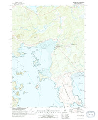
 1985 Machias1986 Print · USGSThe Downeast coast of Maine in the 1980s reveals a landscape of deep-water bays, tidal rivers, and isolated timberlands. Researchers can trace the Maine Central rail line and locate coastal landmarks from Leighton Point to the U.S. Naval Radio Station.
 - 1993 Map of Cross Island, 1995 Print
 1993 Cross Island1995 Print · USGSCoastal Washington County is captured here in the early nineties, centered on the protected lands of the Cross Island National Wildlife Refuge. Maritime researchers can locate the Lighthouse at Libby Islands and the US Naval Communication Unit near Thornton Point.
 - 1993 Map of Machias Bay, 1995 Print
 1993 Machias Bay1995 Print · USGSCoastal Washington County in the 1990s reveals a landscape shaped by military infrastructure and maritime conservation. Trace the restricted grounds of the U S Naval Communication Unit or explore the islands of the Cross Island National Wildlife Refuge and the harbor at North Cutler.2 unique versions available
 - 1994 Map of Machias
 1994 Machias1994 Print · USGSThe Downeast coast of Maine in the 1990s is captured here, from the Narraguagus River to the Canadian border. Genealogists and historians can trace coastal settlements like Jonesboro and Addison or locate the U.S. Naval Radio Station and Moosehorn National Wildlife Refuge.
 - 2011 Map of Machias Bay, 2011 Print
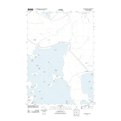 2011 Machias Bay2011 Print · USGSCovers Machiasport, including East Machias, Cutler, and other nearby areas
 - 2011 Map of Roque Bluffs, 2011 Print
 2011 Roque Bluffs2011 Print · USGSCovers Machiasport, including Jonesport, Roque Bluffs, and other nearby areas
 - 2011 Map of Cross Island, 2011 Print
 2011 Cross Island2011 Print · USGSCovers Machiasport, including Cutler, Washington County, and other nearby areas
 - 2011 Map of Machias, 2011 Print
 2011 Machias2011 Print · USGSCovers Machiasport, including Machias, East Machias, and other nearby areas
 - 2014 Map of Cross Island, 2014 Print
 2014 Cross Island2014 Print · USGSCovers Machiasport, including Cutler, Washington County, and other nearby areas
 - 2014 Map of Machias, 2014 Print
 2014 Machias2014 Print · USGSCovers Machiasport, including Machias, East Machias, and other nearby areas
 - 2014 Map of Roque Bluffs, 2014 Print
 2014 Roque Bluffs2014 Print · USGSCovers Machiasport, including Jonesport, Roque Bluffs, and other nearby areas
 - 2014 Map of Machias Bay, 2014 Print
 2014 Machias Bay2014 Print · USGSCovers Machiasport, including East Machias, Cutler, and other nearby areas
Showing maps 1-25 of 37
Top cities near Machiasport
- Machias historical maps
- East Machias historical maps
- Jonesport historical maps
- Jonesboro historical maps
- Marshfield historical maps
- Cutler historical maps
See more
Top neighborhoods of Machiasport
Frequently asked questions
- What are the different types of historical maps available for Machiasport?
- What is the oldest map of Machiasport?
- Where can I purchase historical maps of Machiasport for my home or office?
- Where can I download high-res historical maps of Machiasport?
- Are there historical topographic maps available for Machiasport?
- Is there historical aerial imagery available for Machiasport?
- Where are historical maps of Machiasport sourced from?